Part 1
This part covers the beginning to 23:00 of the movie.
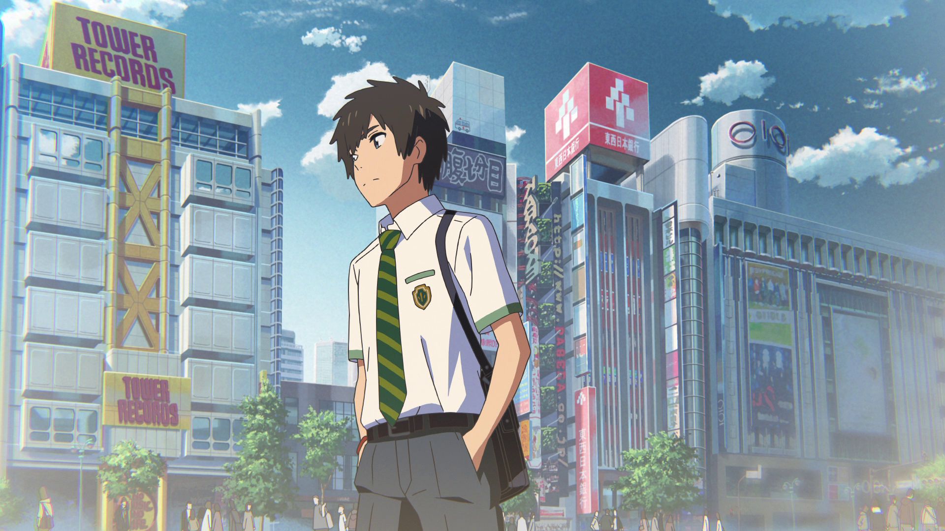
Tower Records (Shibuya)
This is where a shot for the opening sequence was modeled after.
Official Site (JP) View in OpenStreetMap View in Google Maps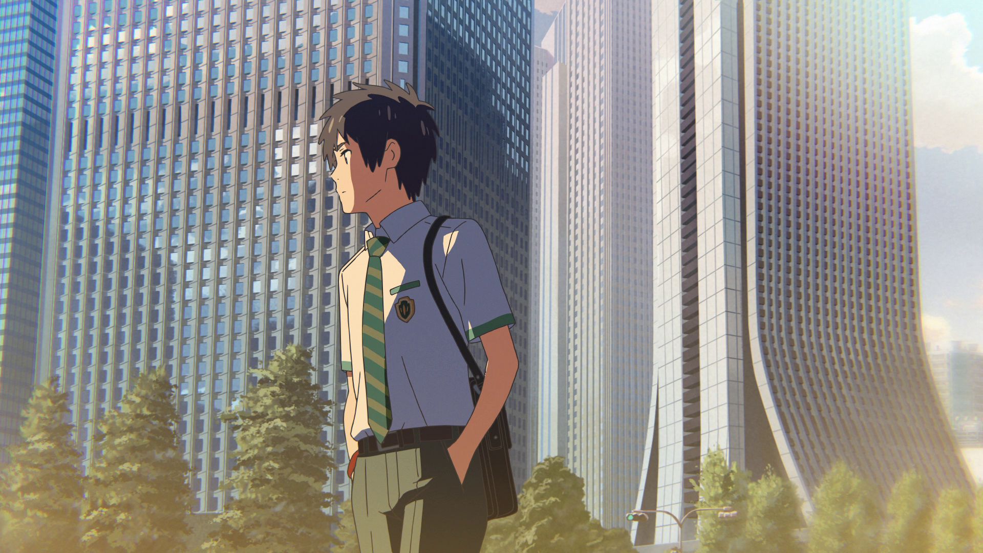
Shinjuku Center Building
This is where a shot for the opening sequence was modeled after.
View in OpenStreetMap View in Google Maps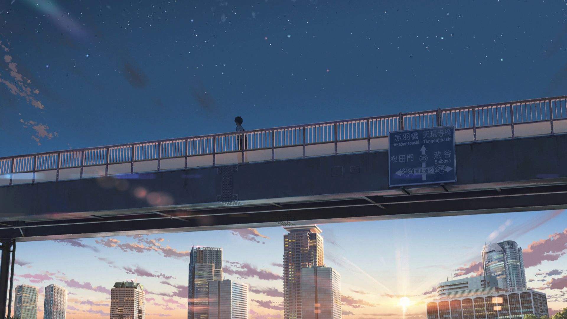
Minato Footbridge Road Sign
This is where the sign for a footbridge was based from. The footbridge however, does not exist.
View in OpenStreetMap View in Google Maps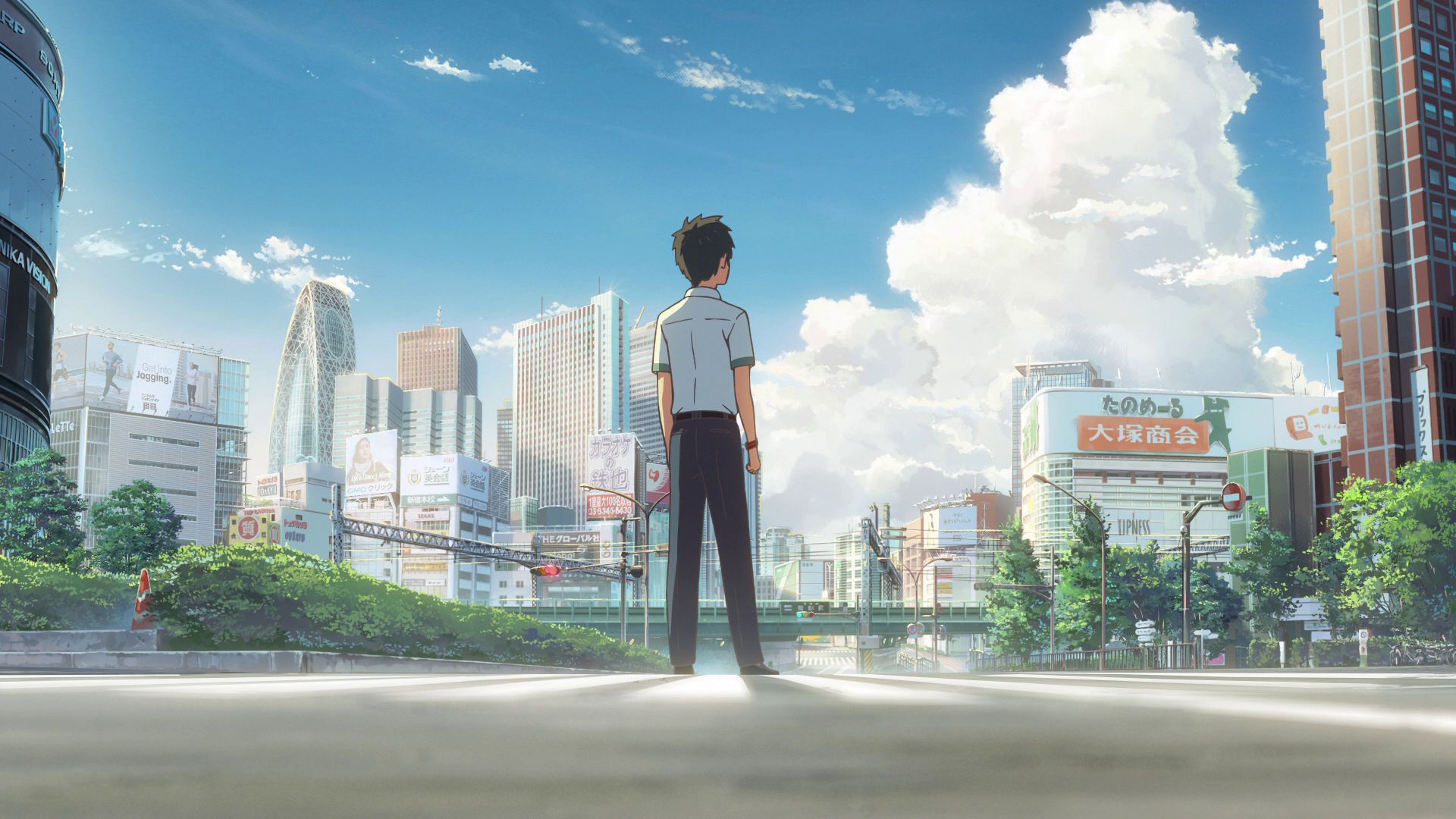
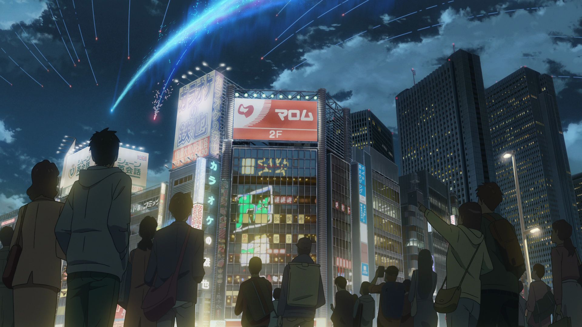
Shinjuku Taki Opening Scene Crossing
This is where a shot for the opening sequence was modeled after. Taki was standing here before walking away.
View in OpenStreetMap View in Google Maps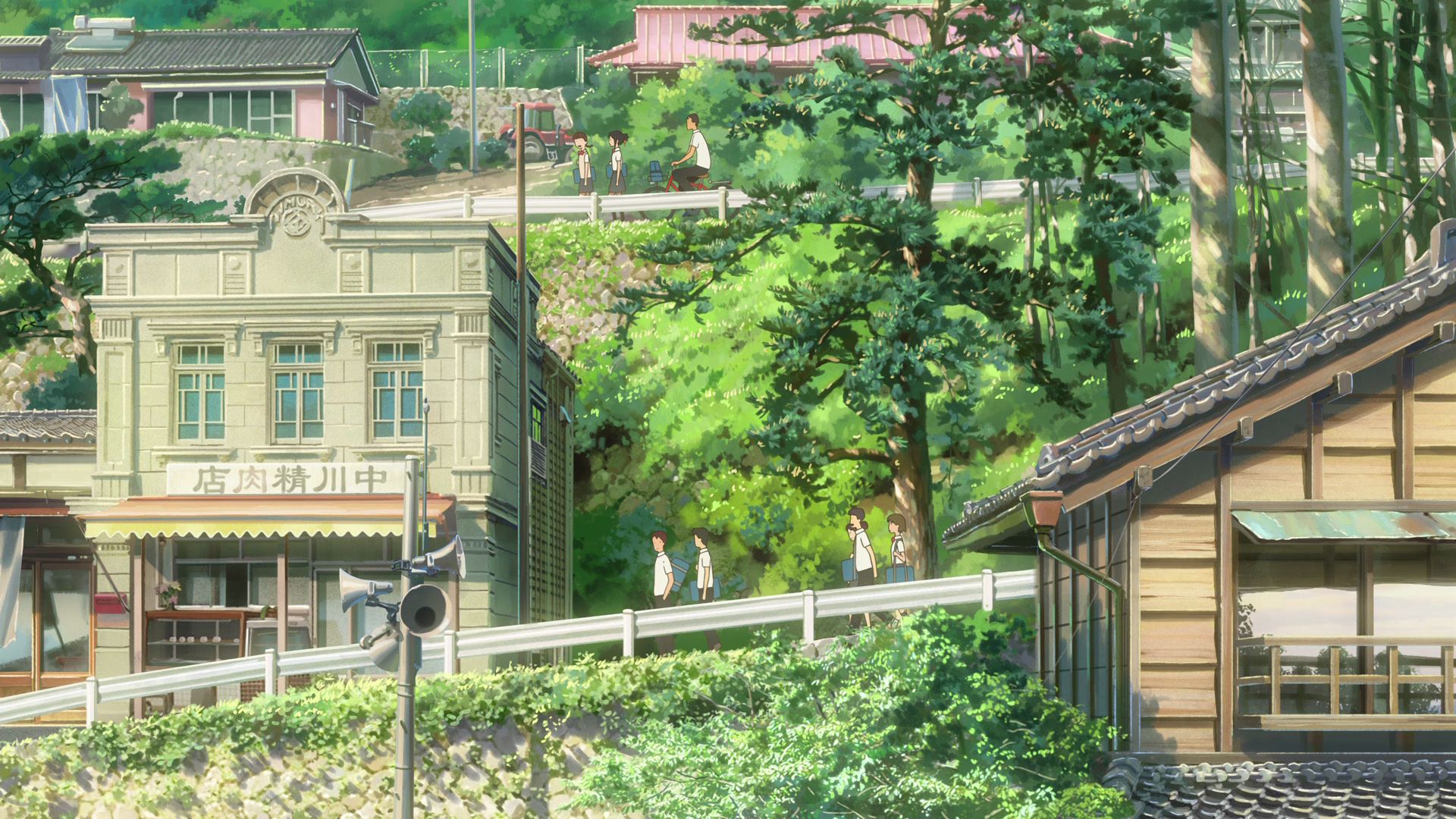
Itomori Butcher Shop Model Building 1
This is one of the model buildings used for the Itomori Butcher Shop.
View in OpenStreetMap View in Google Maps
Mimura Precious Metals Shop
This is one of the model buildings used for the Itomori Butcher Shop.
View in OpenStreetMap View in Google Maps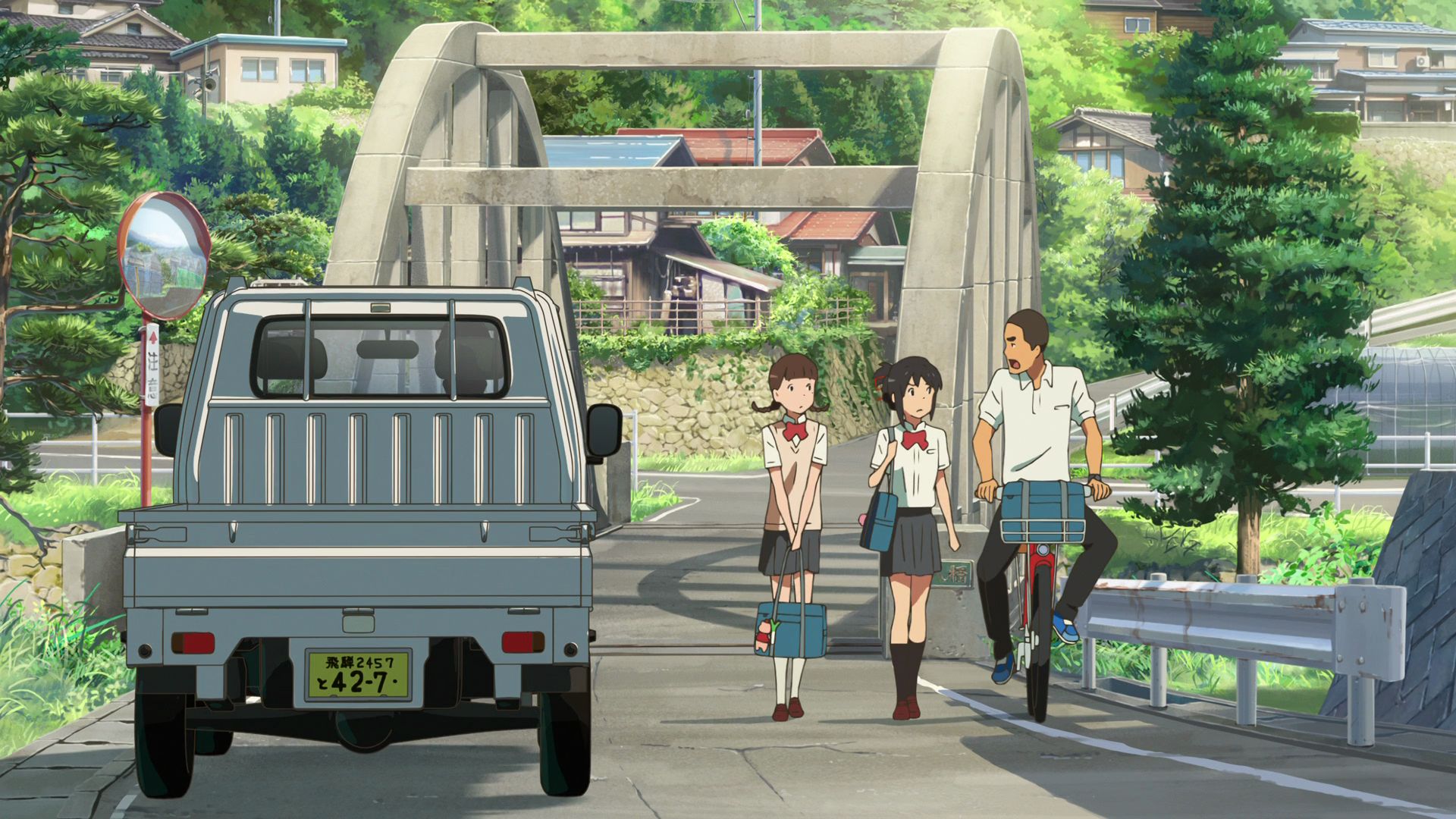
Fujinoki Bridge
This is the model bridge for the arch bridge found in Itomori.
View in OpenStreetMap View in Google Maps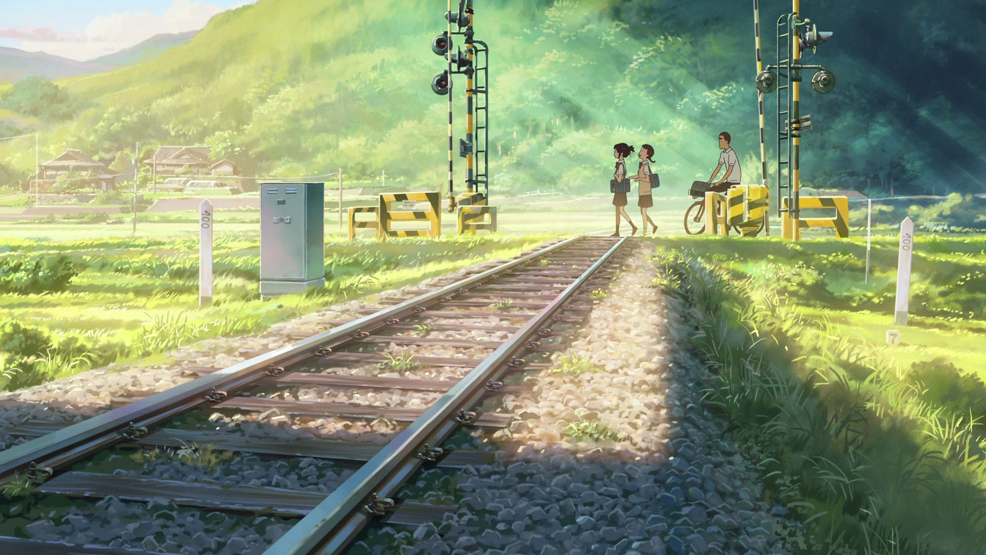
Itomori Railroad Crossing Model 1 Capture Point
This railroad crossing model location has the small concrete block with the number「7」on it.
View in OpenStreetMap View in Google Maps
Itomori Railroad Crossing Model 2 Capture Point
The northern direction from this railroad crossing model has a similar hill formation seen in the movie.
View in OpenStreetMap View in Google Maps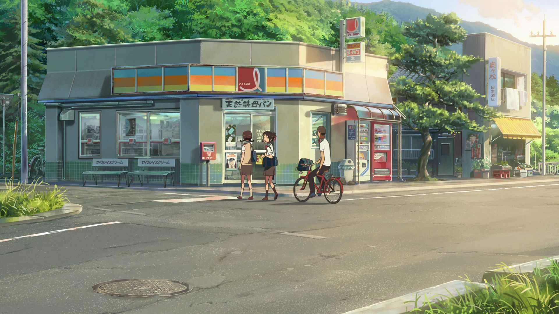
Ai Shop
This convenience store is featured as a shop located in Itomori that apparently closes at 21:00. The real life closing time may differ though.
Official Site (JP) View in OpenStreetMap View in Google Maps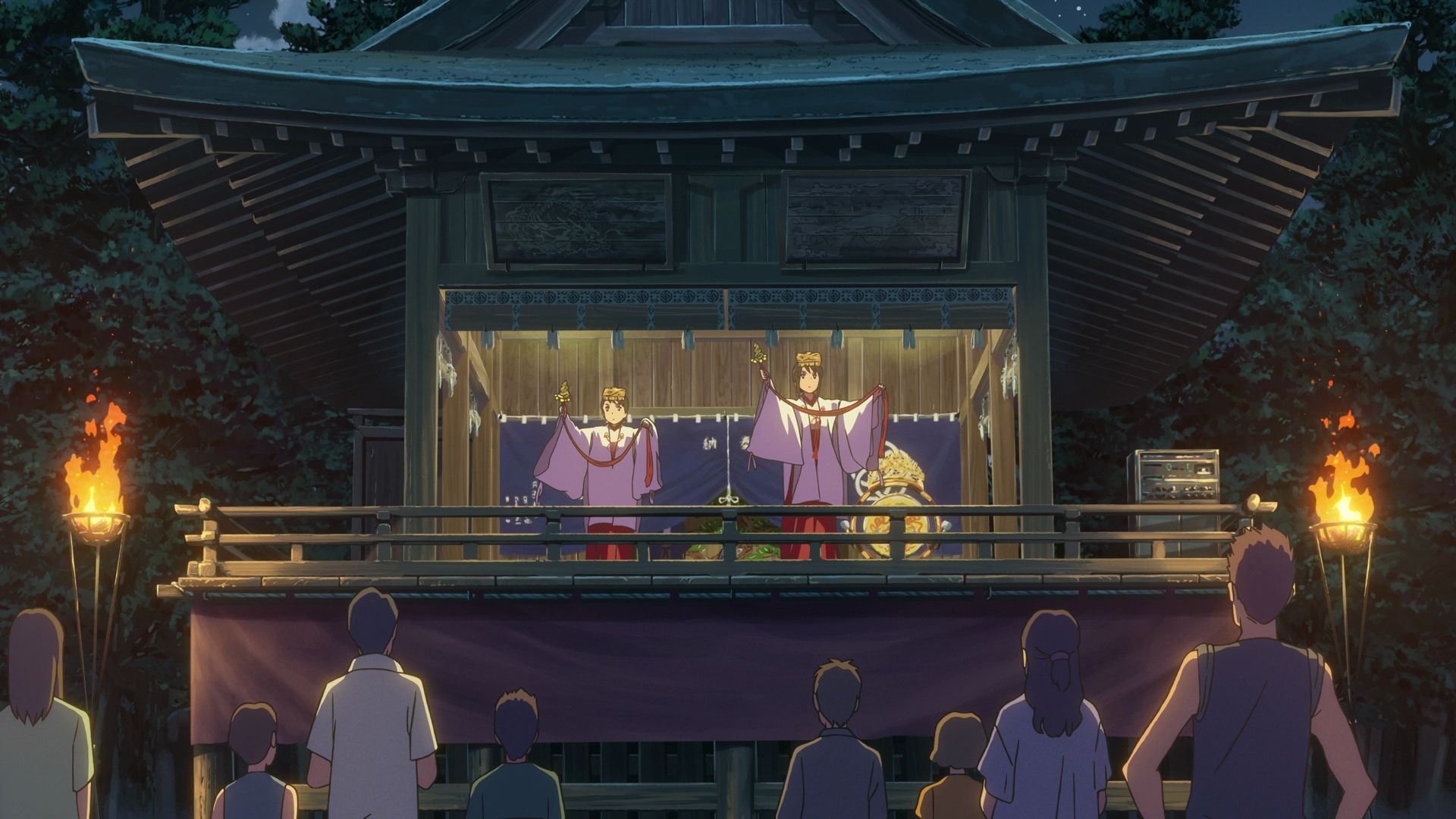
Shinkaisansha Shrine
This is where the model building for the Kuchikamizake Ritual of the Miyamizu Shrine is based on.
Official Site (JP) View in OpenStreetMap View in Google Maps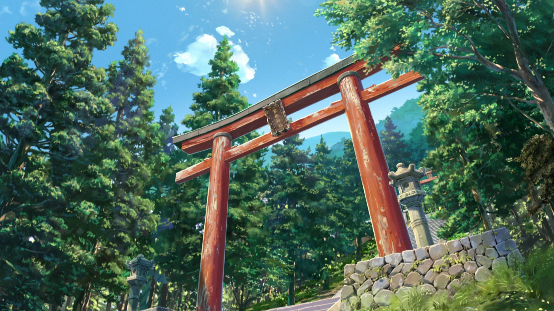
Hie Shrine
The Torii gate of the Miyamizu Shrine is modeled after the Torii gate located here. The staircase seems to be similar to the one in the Miyamizu Shrine.
Official Site (JP) View in OpenStreetMap View in Google Maps
Okuizumioi Shrine
The Torii gate of the Miyamizu Shrine is also modeled after the Torii gate located here. The staircase also seems to be similar to the one in the Miyamizu Shrine.
Official Site (JP) View in OpenStreetMap View in Google Maps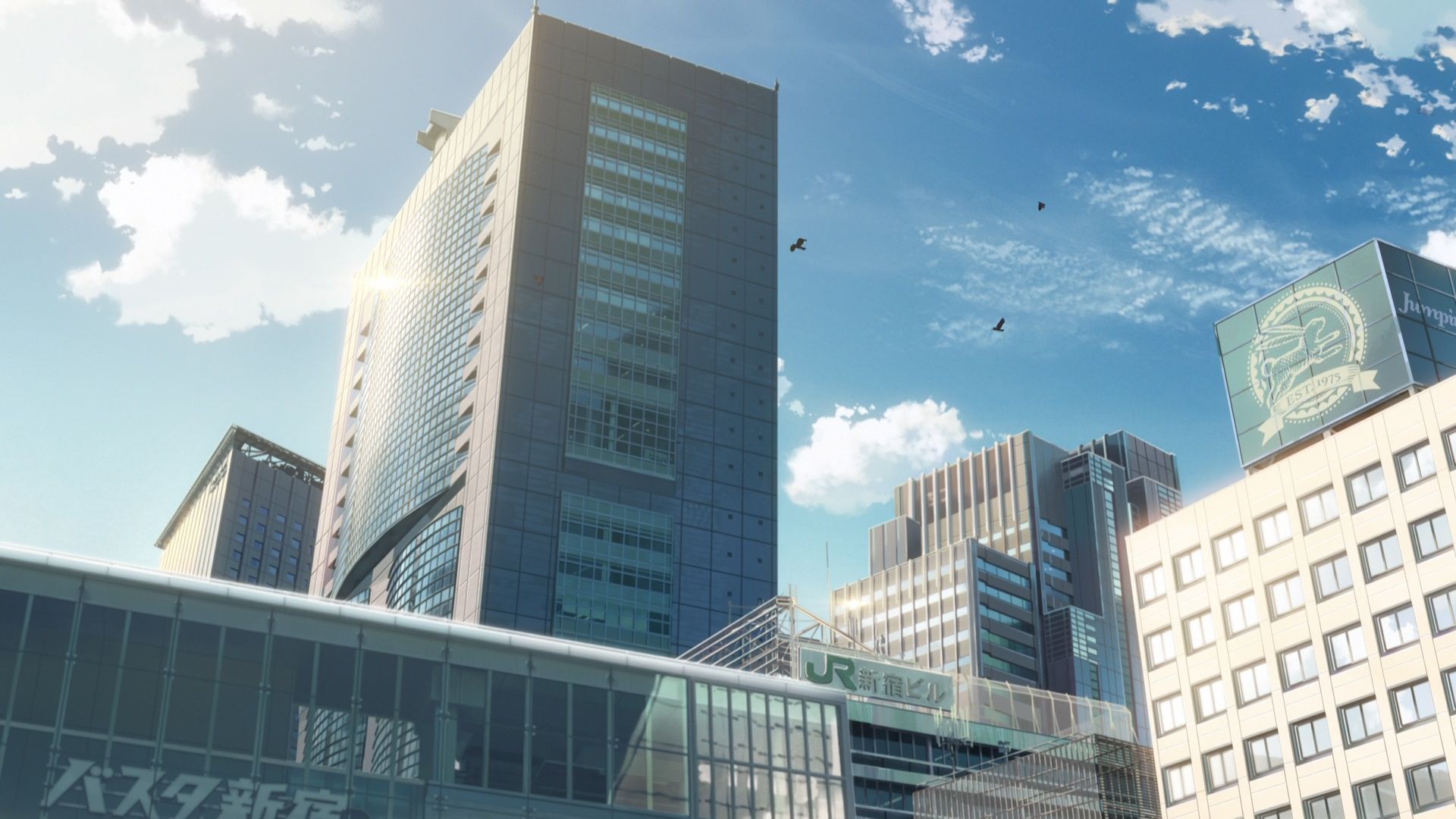
JR East Headquarters Building Capture Point
Take a photo of the JR East Headquarters building sign from this location.
View in OpenStreetMap View in Google Maps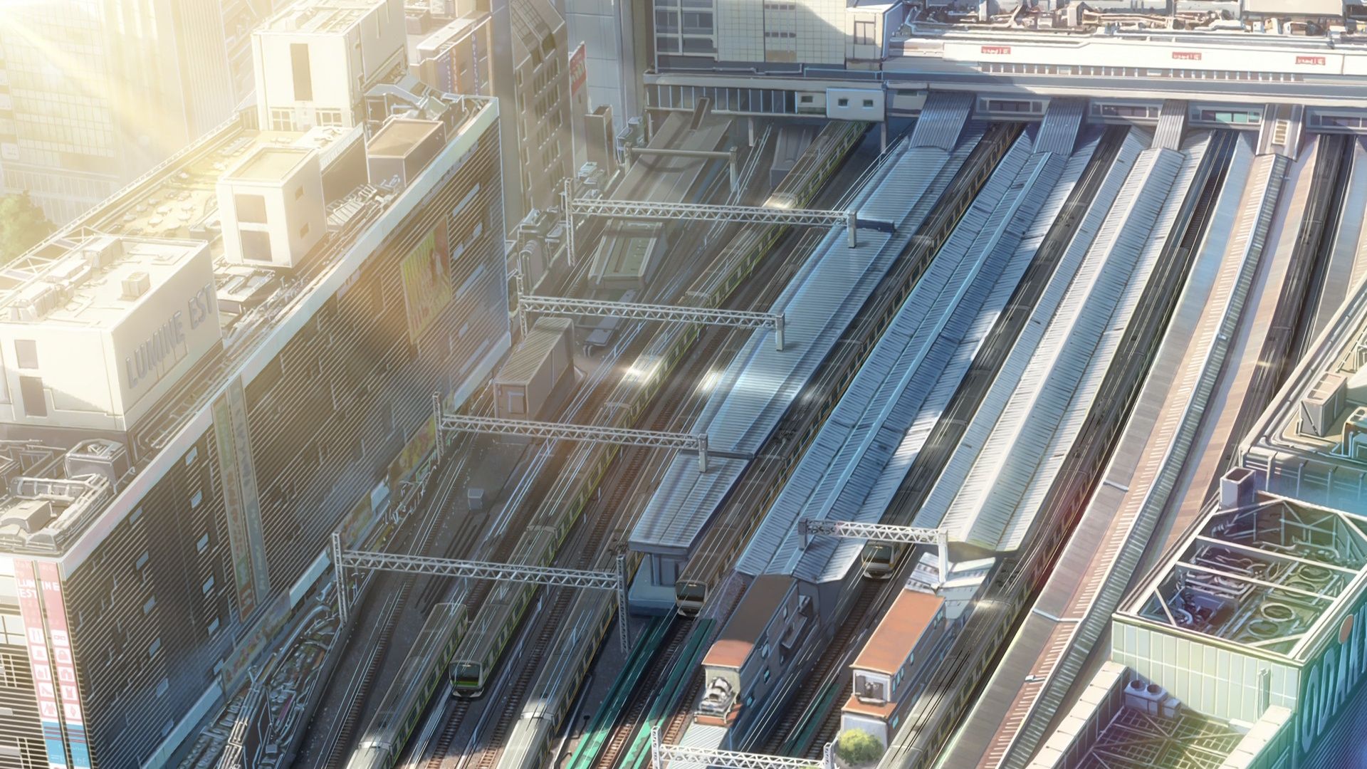
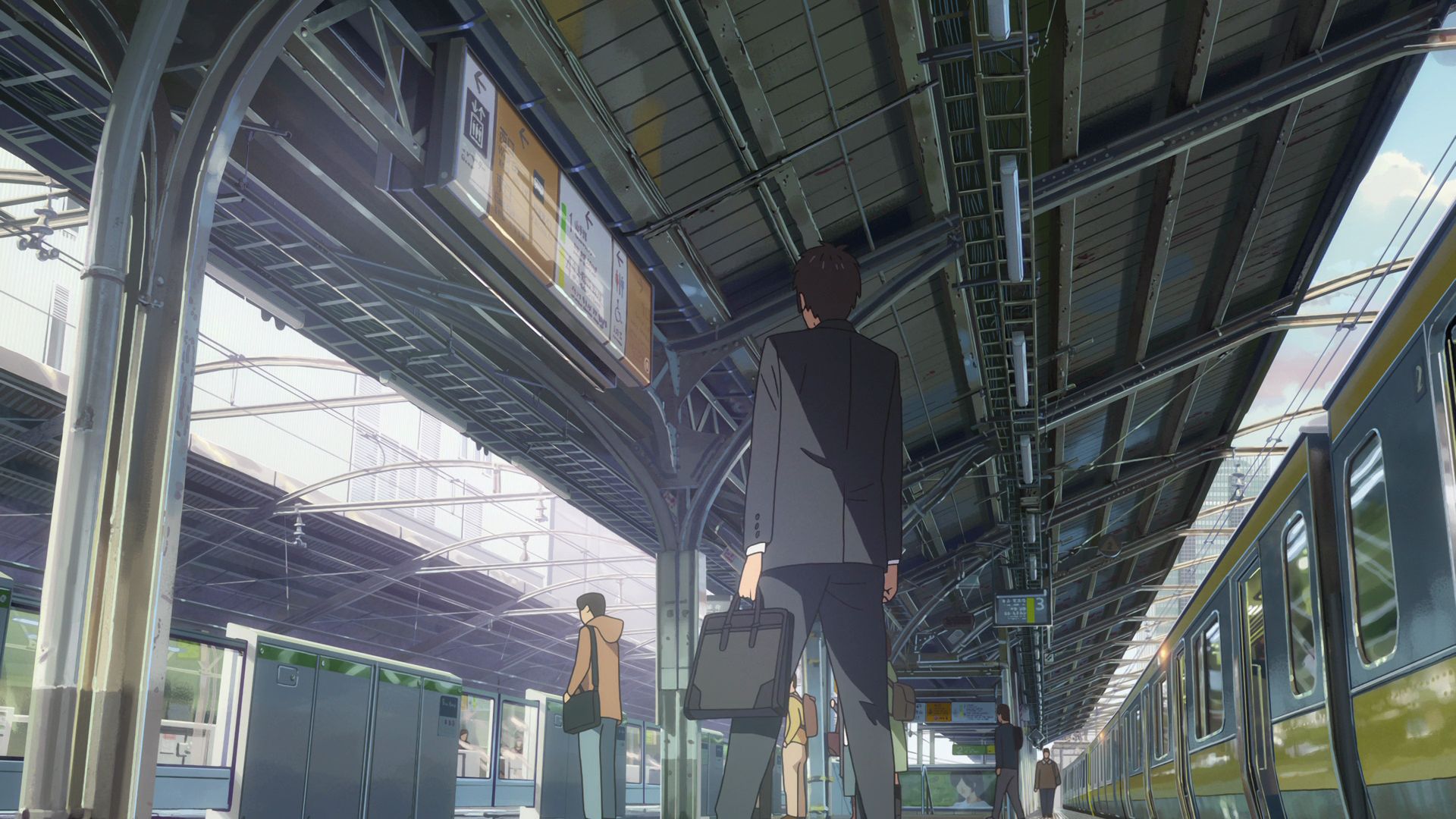
Shinjuku Station Capture Point
Take a photo of the Shinjuku Station and it's platforms from this spot. You will need a drone and permission from the city to fly it in the vicinity if you want to have a photo comparison taken.
View in OpenStreetMap View in Google Maps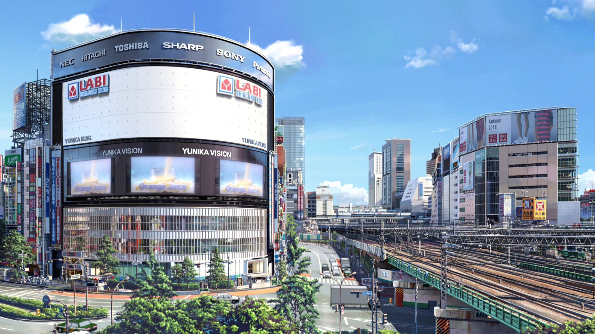
YUNIKA VISION Capture Point
Take a photo of the huge screen from this location.
Official Site View in OpenStreetMap View in Google Maps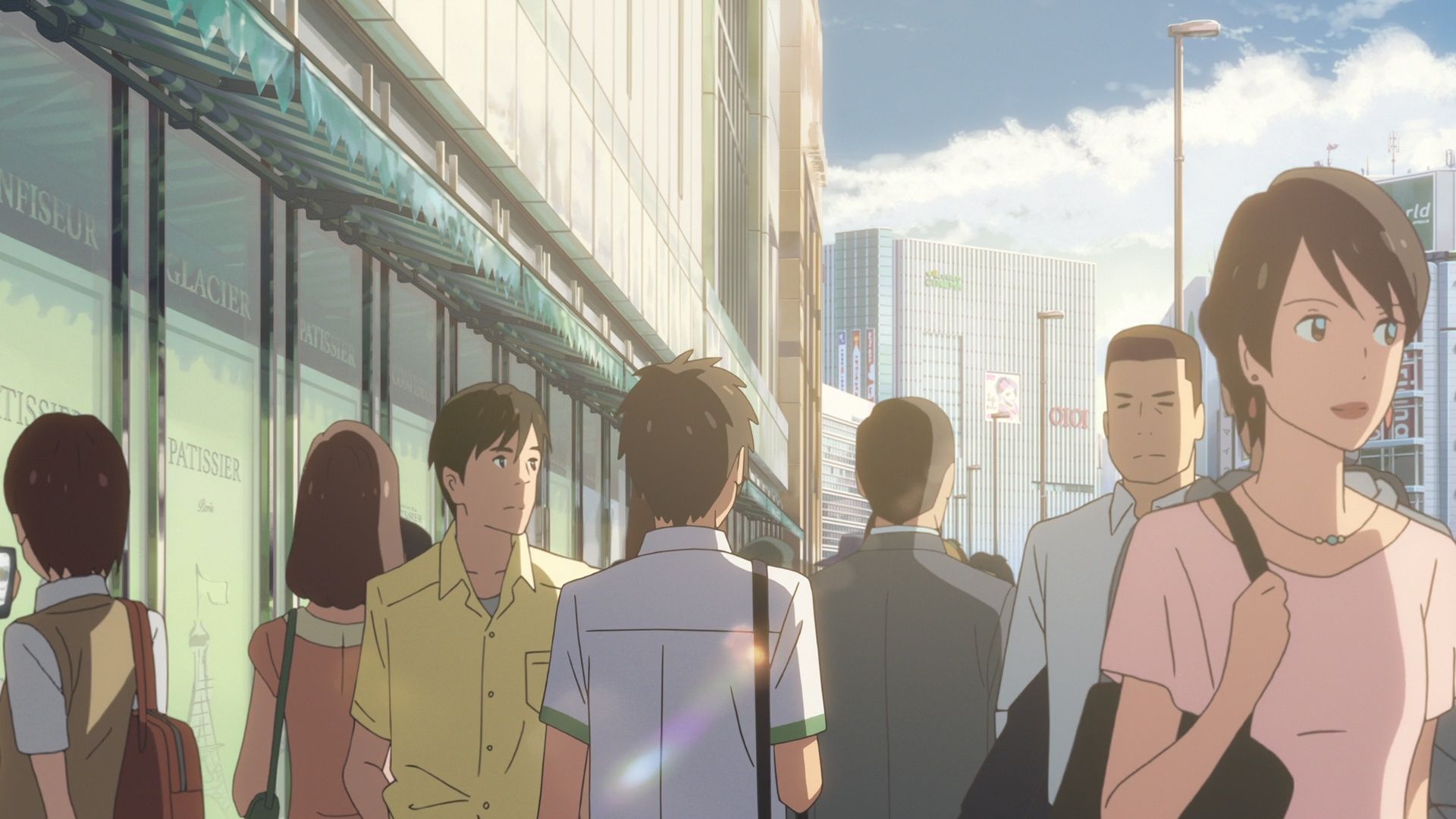
Ladurée Shinjuku
This is where (Mitshua as) Taki looks at a map for directions as he heads to school.
Official Site (JP) View in OpenStreetMap View in Google Maps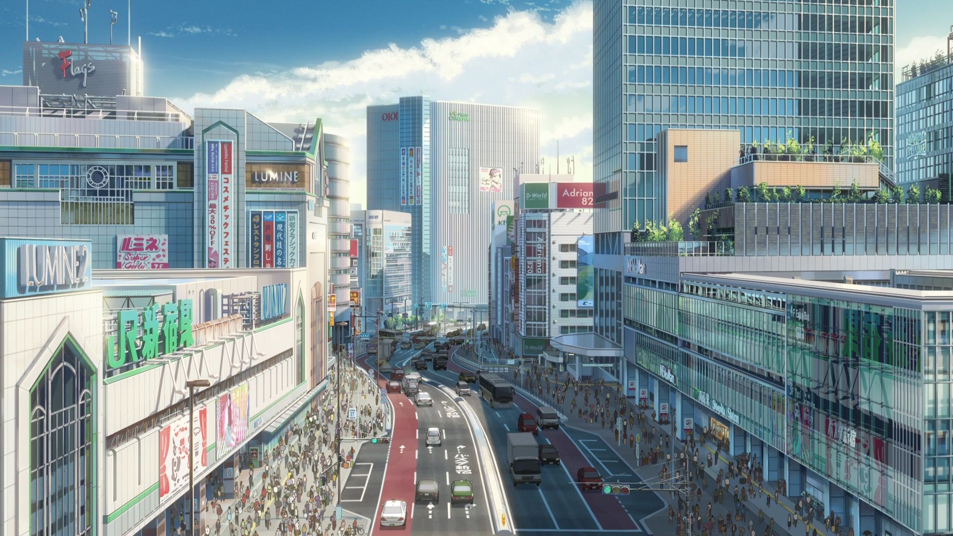
Shinjuku Station Area Capture Point
This is where the shot around Shinjuku Station was taken.
View in OpenStreetMap View in Google Maps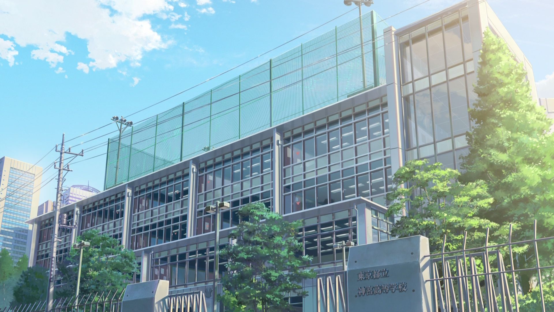
Motomachi High School
This is the model school of the Jingu High School where Taki studied.
Official Site (JP) View in OpenStreetMap View in Google Maps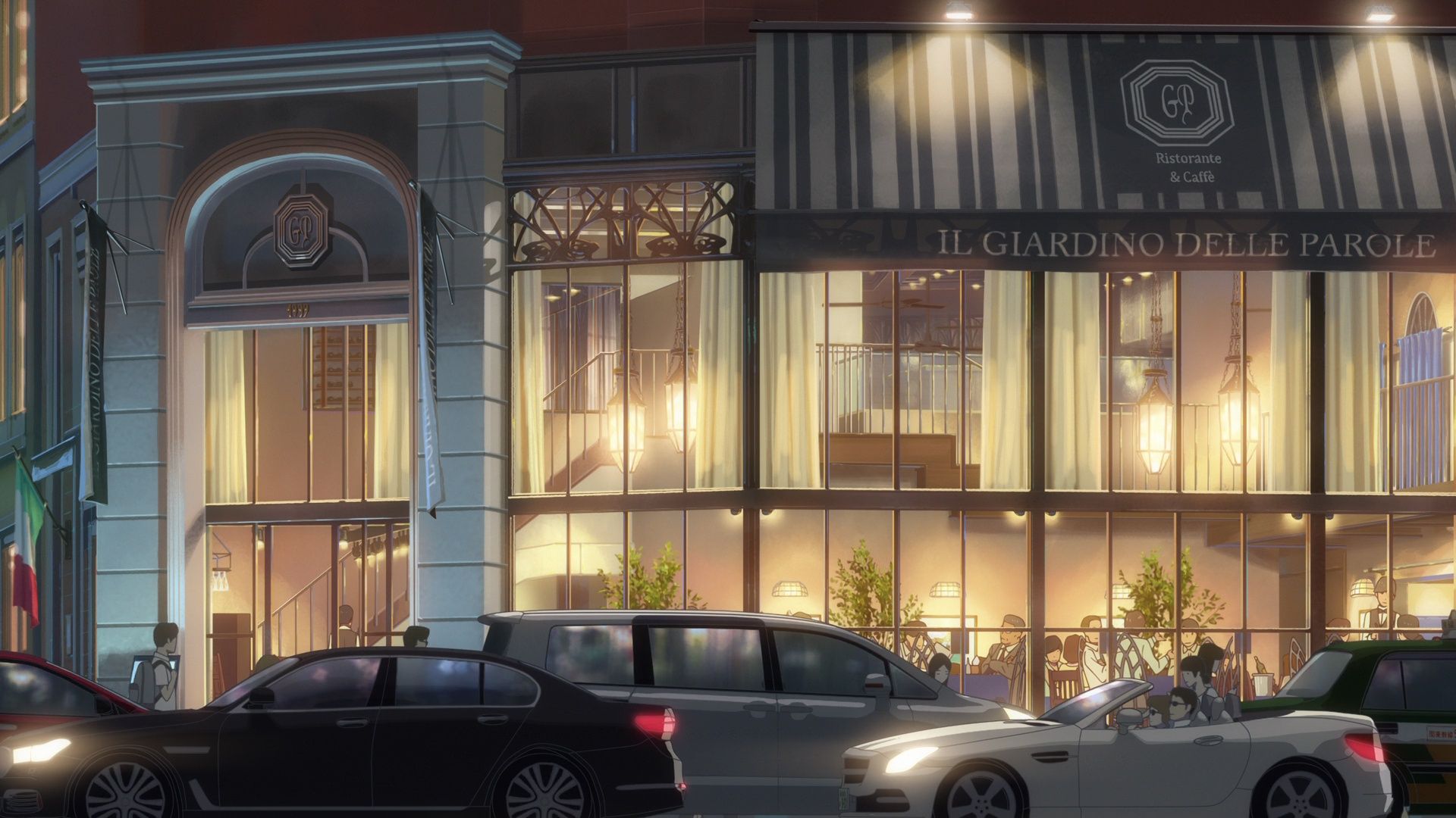
Cafe La Bohème Shinjukugyoen
This is where Taki works part-time. It is known as「Il Giardino Delle Parole」in the movie and it translates to「The Garden of Words」as a reference to a previous work of Makoto Shinkai.
Official Site (JP) View in OpenStreetMap View in Google MapsPart 2
This part covers 23:01 to 46:00 of the movie.
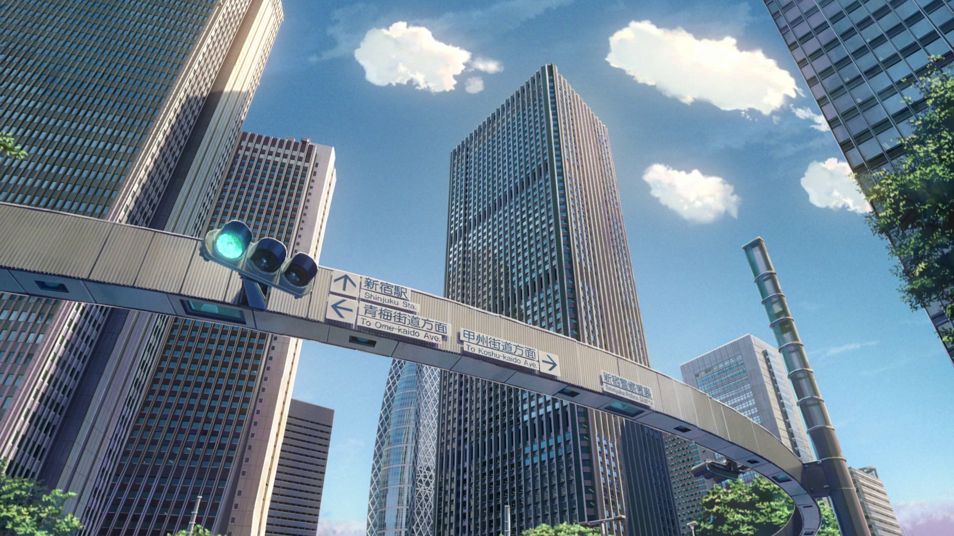
Shinjuku Police Station Intersection Capture Point
This is where the timelapse for Shinjuku was located.
View in OpenStreetMap View in Google Maps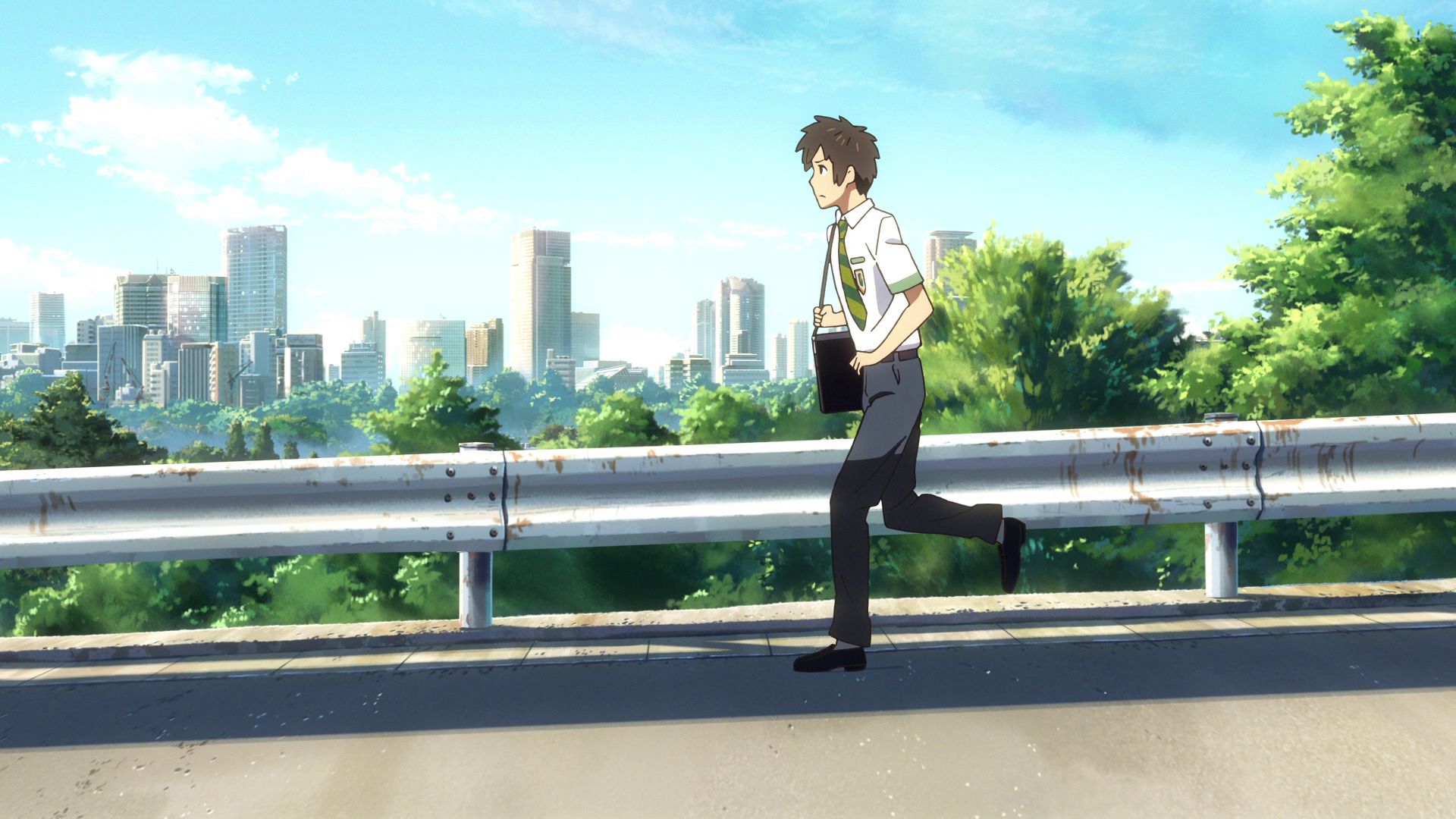
Wakaba, Shinjuku City Capture Point
This is where (Mitsuha as) Taki was running with the background of the city skyline
View in OpenStreetMap View in Google Maps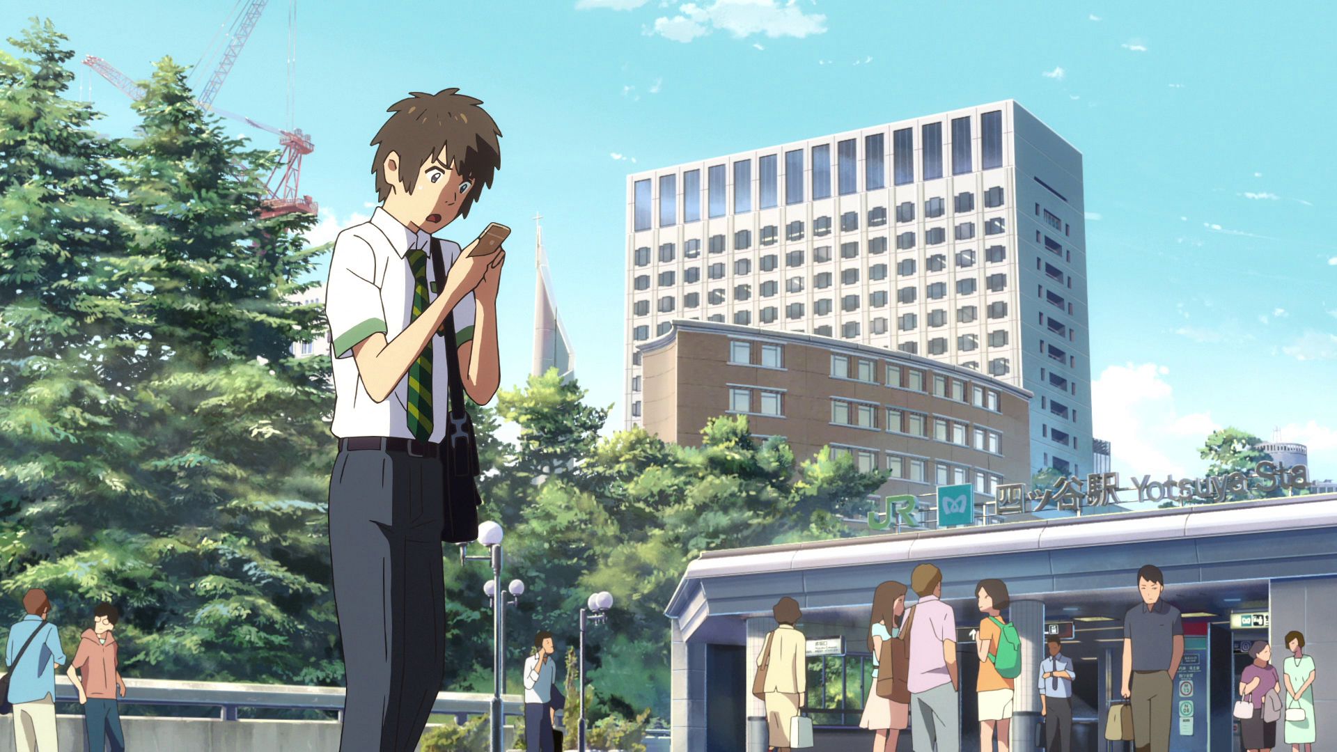
Yotsuya Station Taki Capture Point
This is where (Mitsuha as) Taki worriedly looks around with a map, prossibly lost.
Official Site (JP) View in OpenStreetMap View in Google Maps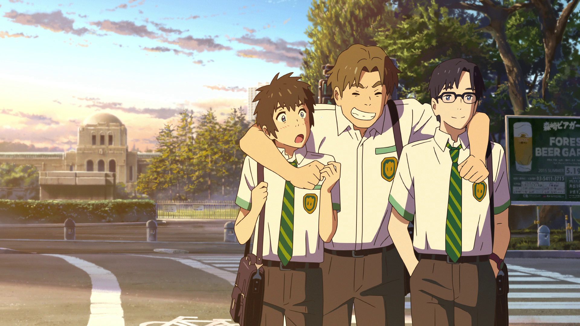
Jingu Softball Stadium Fountain Capture Point
This is where (Mitsuha as) Taki is seen walking with Tsukasa and Shinta.
View in OpenStreetMap View in Google Maps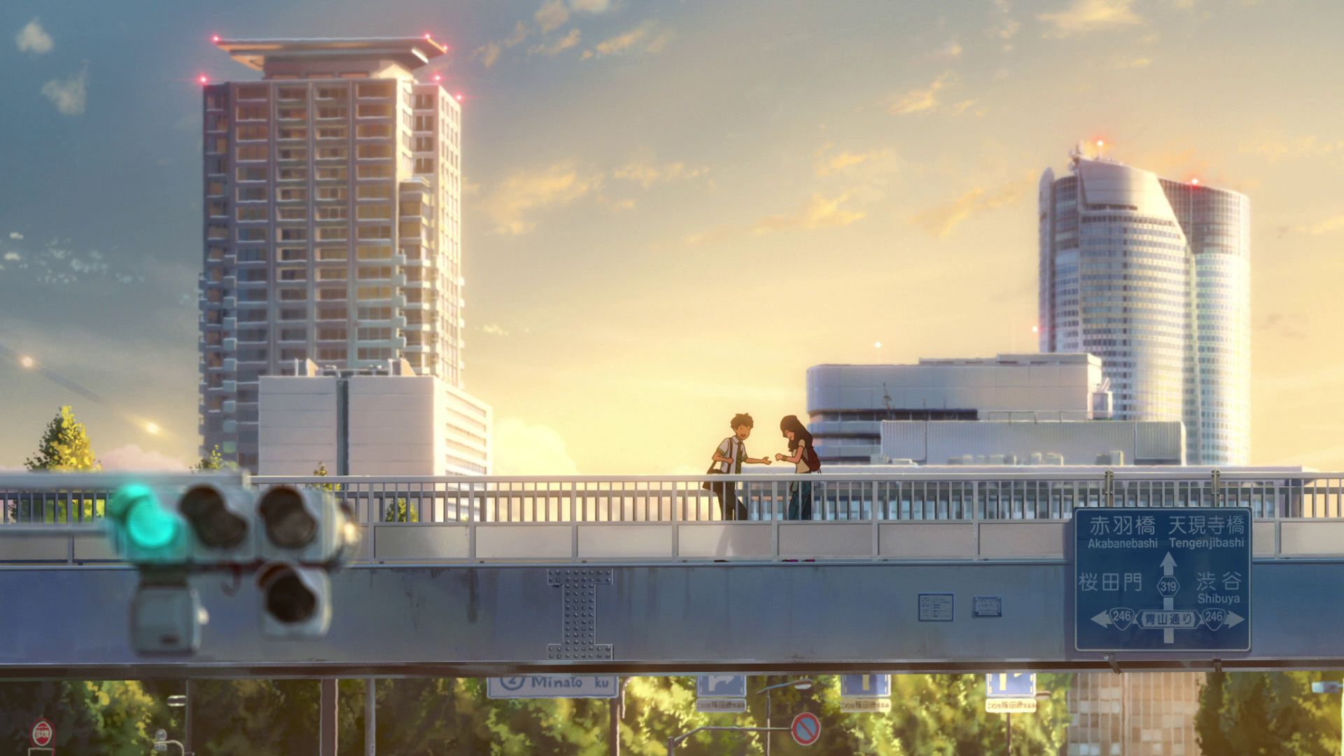
Shinanomachi Footbridge
Taki and Okudera-senpai are often seen together on this bridge.
View in OpenStreetMap View in Google Maps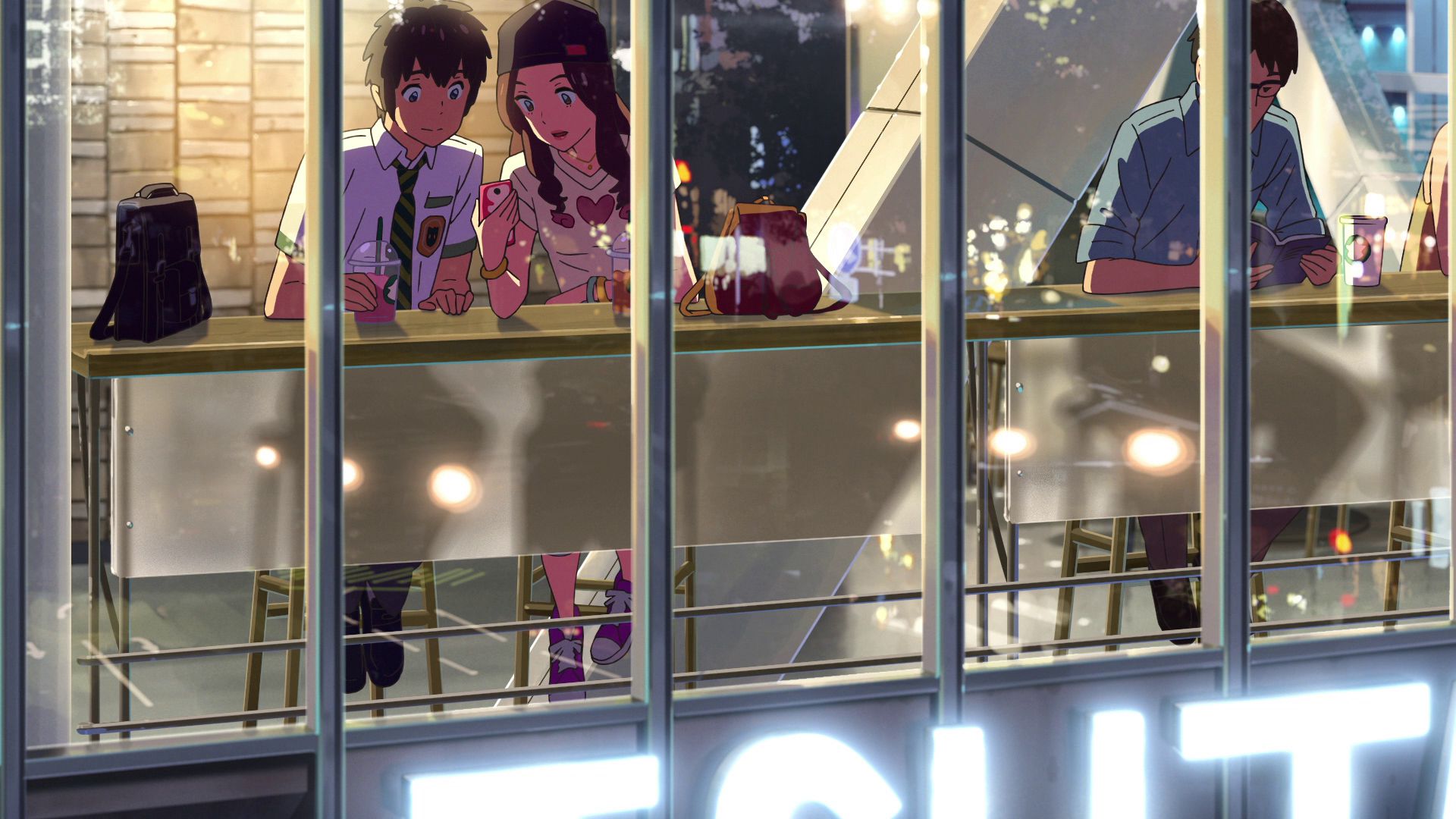
Starbucks Shibuya Tsutaya
This is where (Mitsuha as) Taki and Okudera-senpai had coffee after work.
Official Site (JP) View in OpenStreetMap View in Google Maps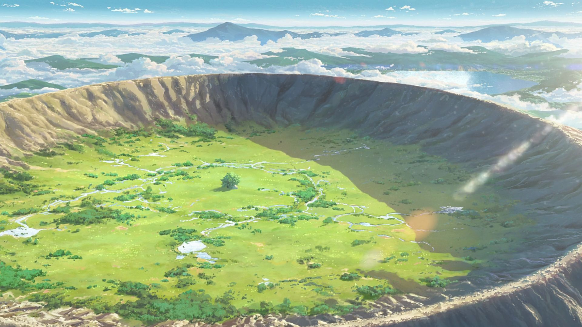
Aogashima Island
This island is the model terrain for the location where the Goshintai of the Miyamizu Shrine is located. There is a shrine near the central cone of the caldera.
View in OpenStreetMap View in Google Maps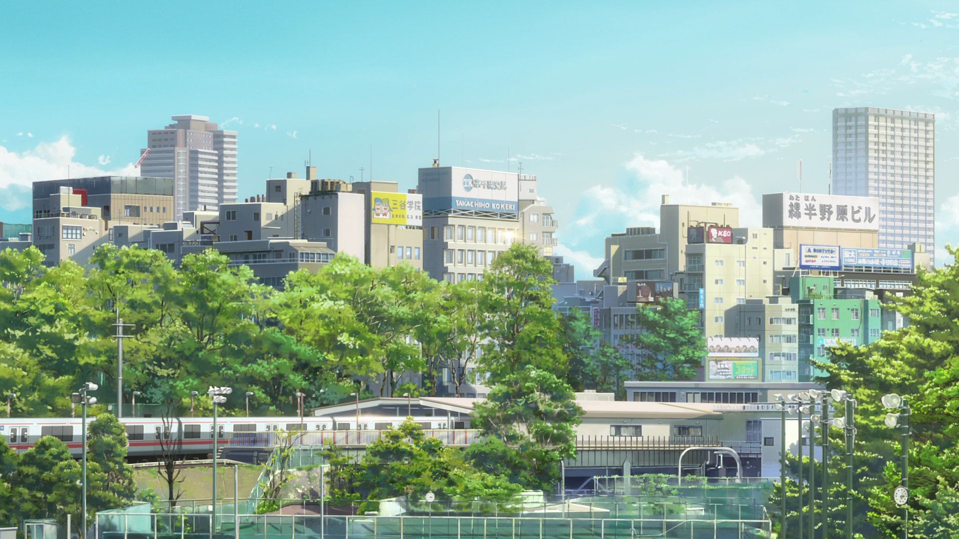
Sanadabori Athletic Field - Yotsuya Station Capture Point
A shot of a train arriving at Yotsuya Station from this spot was used in the scene before Taki arrives at the station
Official Site (JP) View in OpenStreetMap View in Google Maps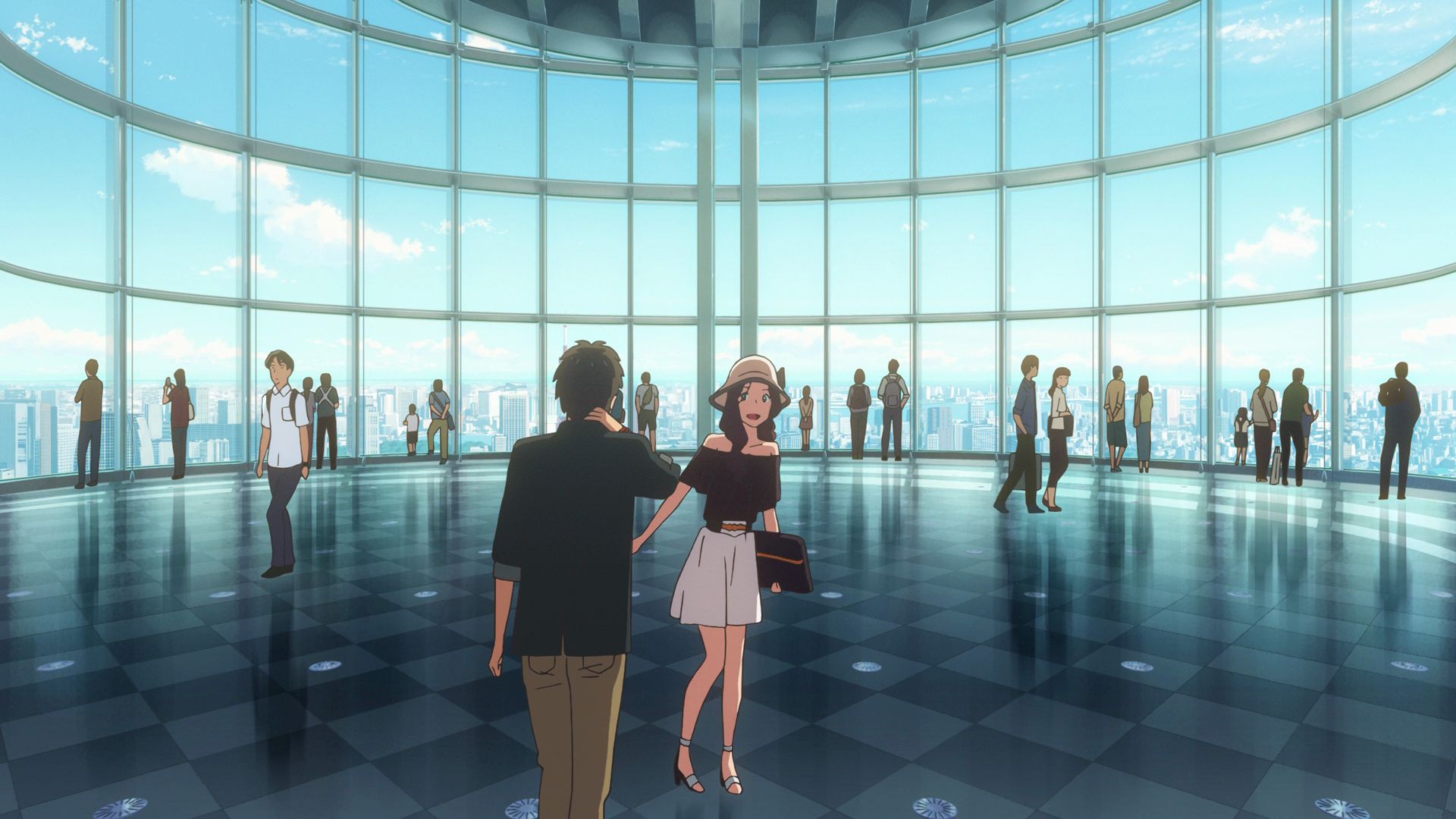
Roppongi Hills Mori Tower
There is an observation deck at the upper levels of the building where Taki and Okudera-senpai visited.
Official Site View in OpenStreetMap View in Google Maps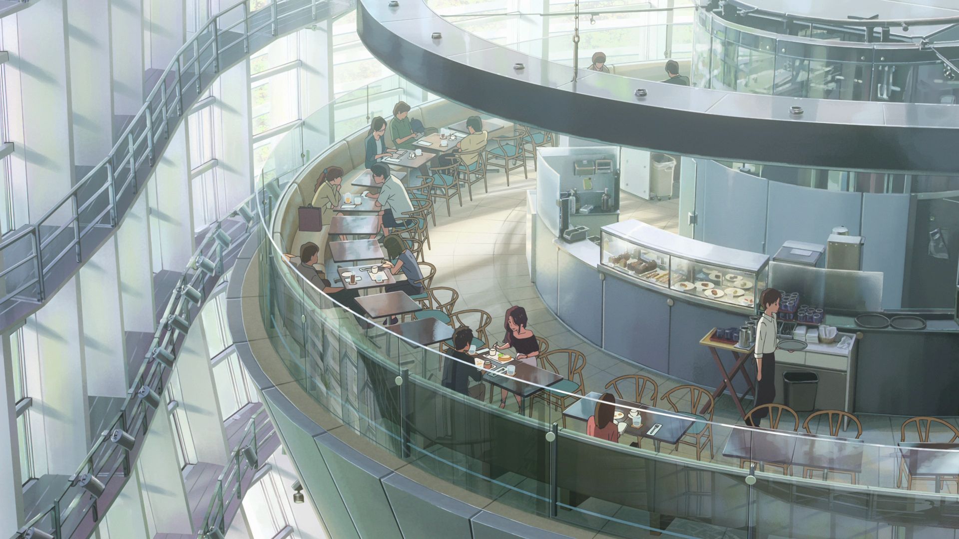
Brasserie Paul Bocuse Musée
This is where Taki and Okudera-senpai ate lunch on their date.
Official Site View in OpenStreetMap View in Google Maps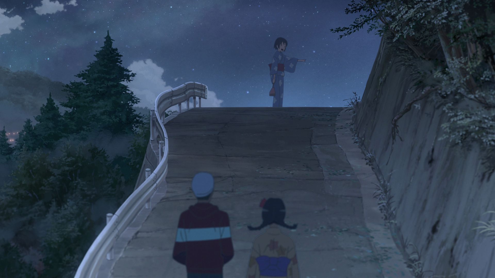
Itomori Sloped Road Capture Point
Head East from this point and you will see the same sloped road that Mitsuha, Sayaka, and Tessie walked to get to a comet viewpoint.
View in OpenStreetMap View in Google Maps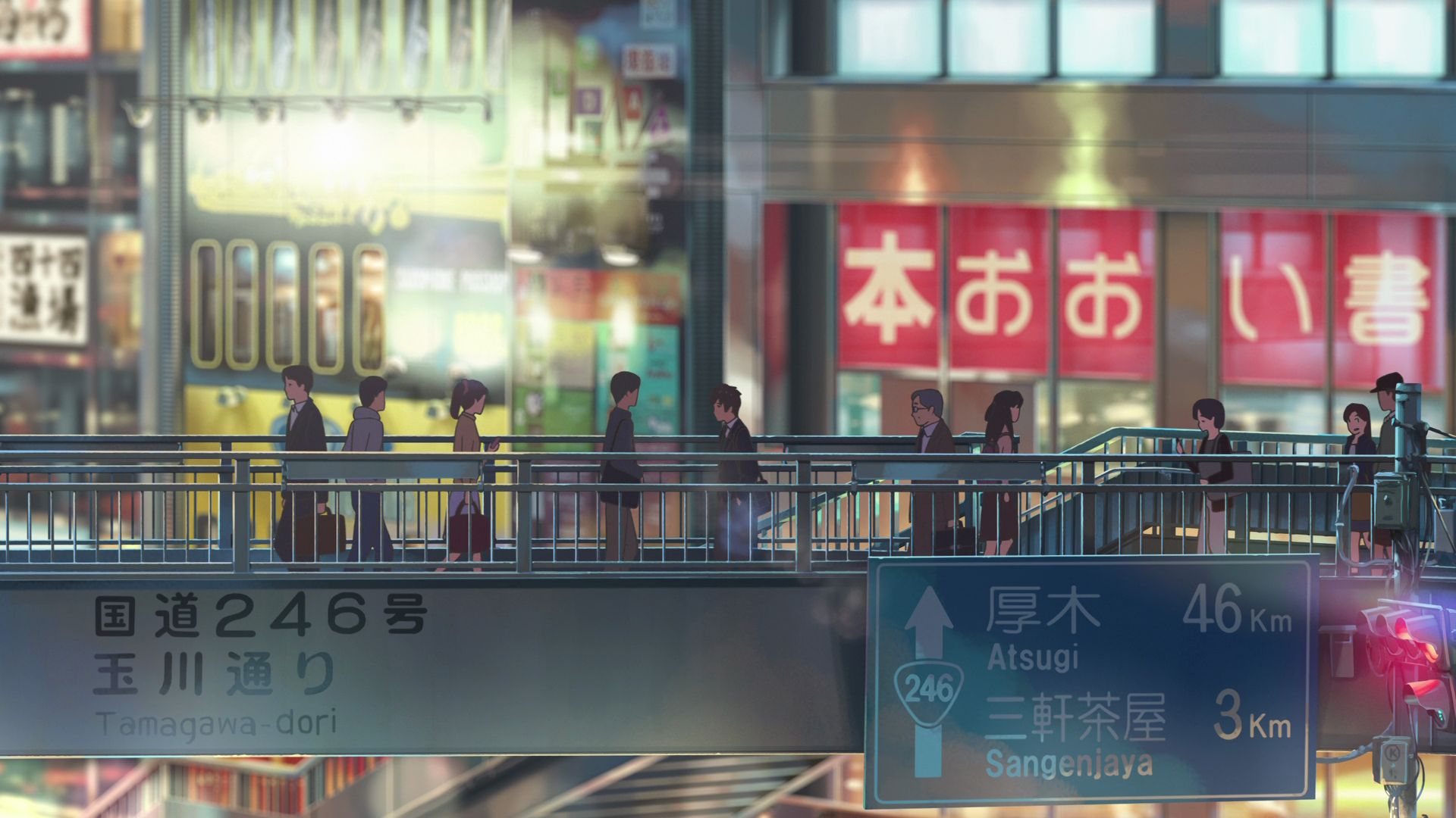
Footbridge Near Shibuya Station Capture Point
This is where Taki walks on during the sequence where he drew Itomori. It looks very different now due to revisions in the area which included the footbridge itself and the buildings beside it which are now gone.
View in OpenStreetMap View in Google MapsPart 3
This part covers 46:01 to 01:09:00 of the movie.
Marunouchi Plaza
An aerial shot of this plaza was seen in the movie as Taki heads to Tokyo Station to get on the Shinkansen.
View in OpenStreetMap View in Google Maps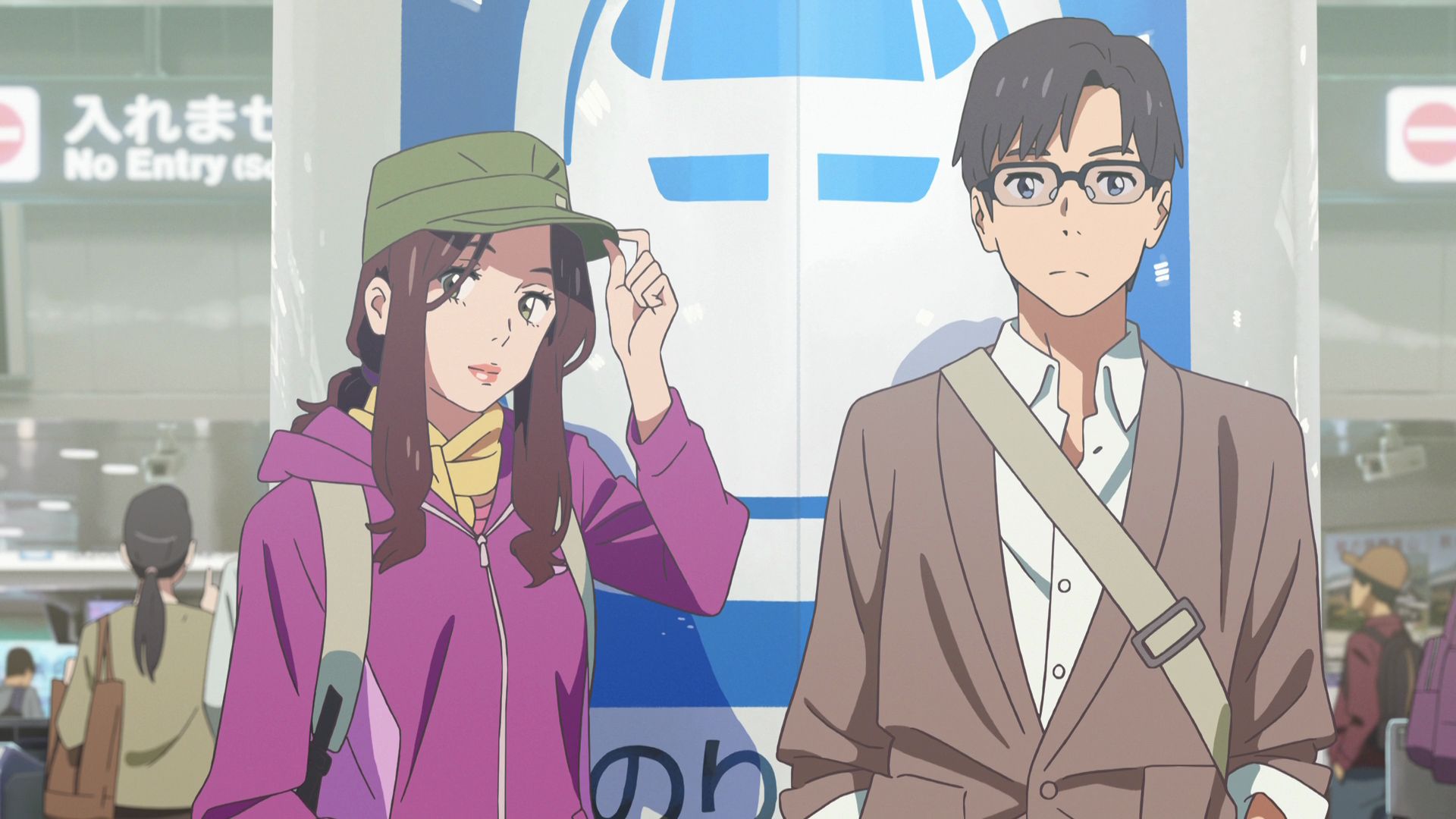
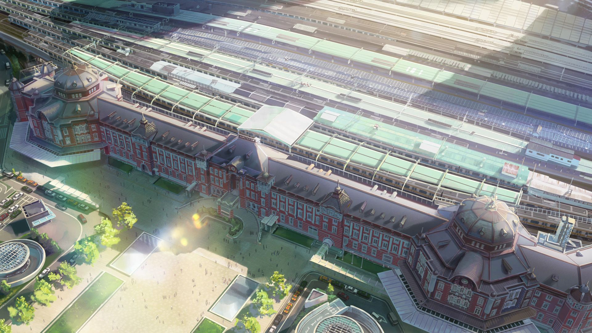
Tokyo Station
This is where Taki meets up with Tsukasa and Okudera-senpai and get on the Shinkansen to Nagoya Station.
Official Site (JP) View in OpenStreetMap View in Google Maps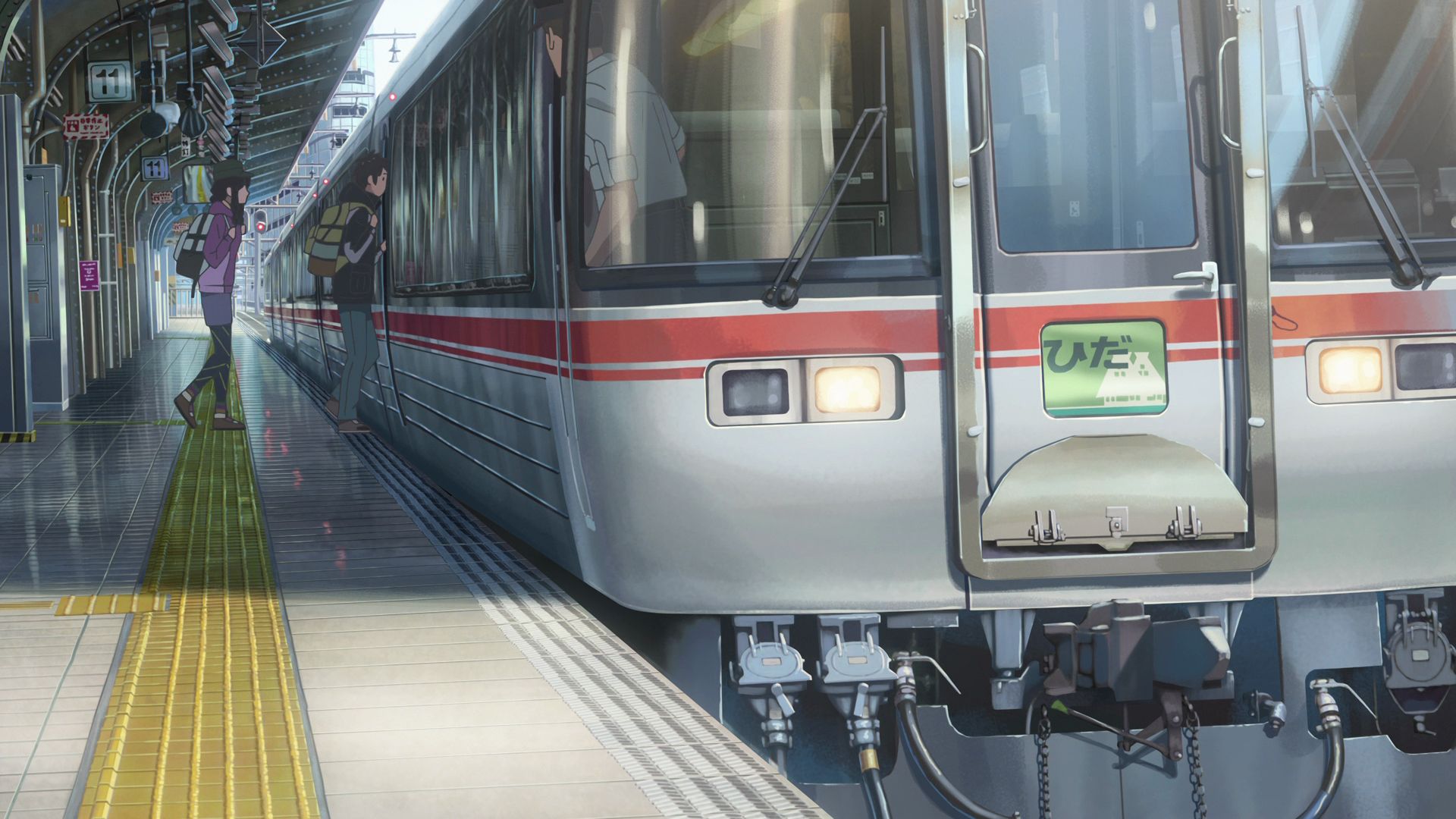
Platform 11, Nagoya Station Capture Point
This is where Taki, Okudera-senpai, and Tsukasa got on a train to Hida.
Official Site (JP) View in OpenStreetMap View in Google Maps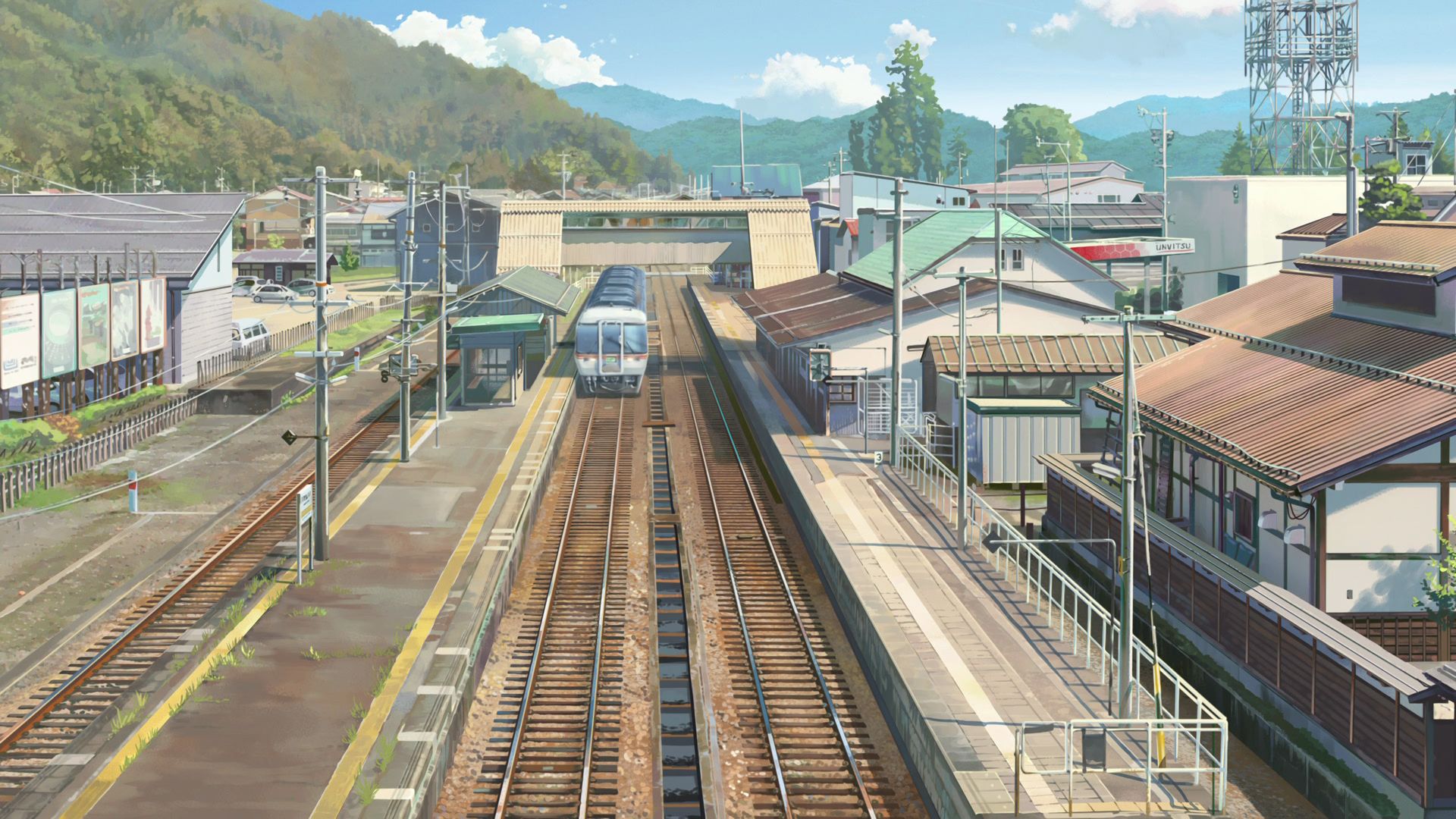
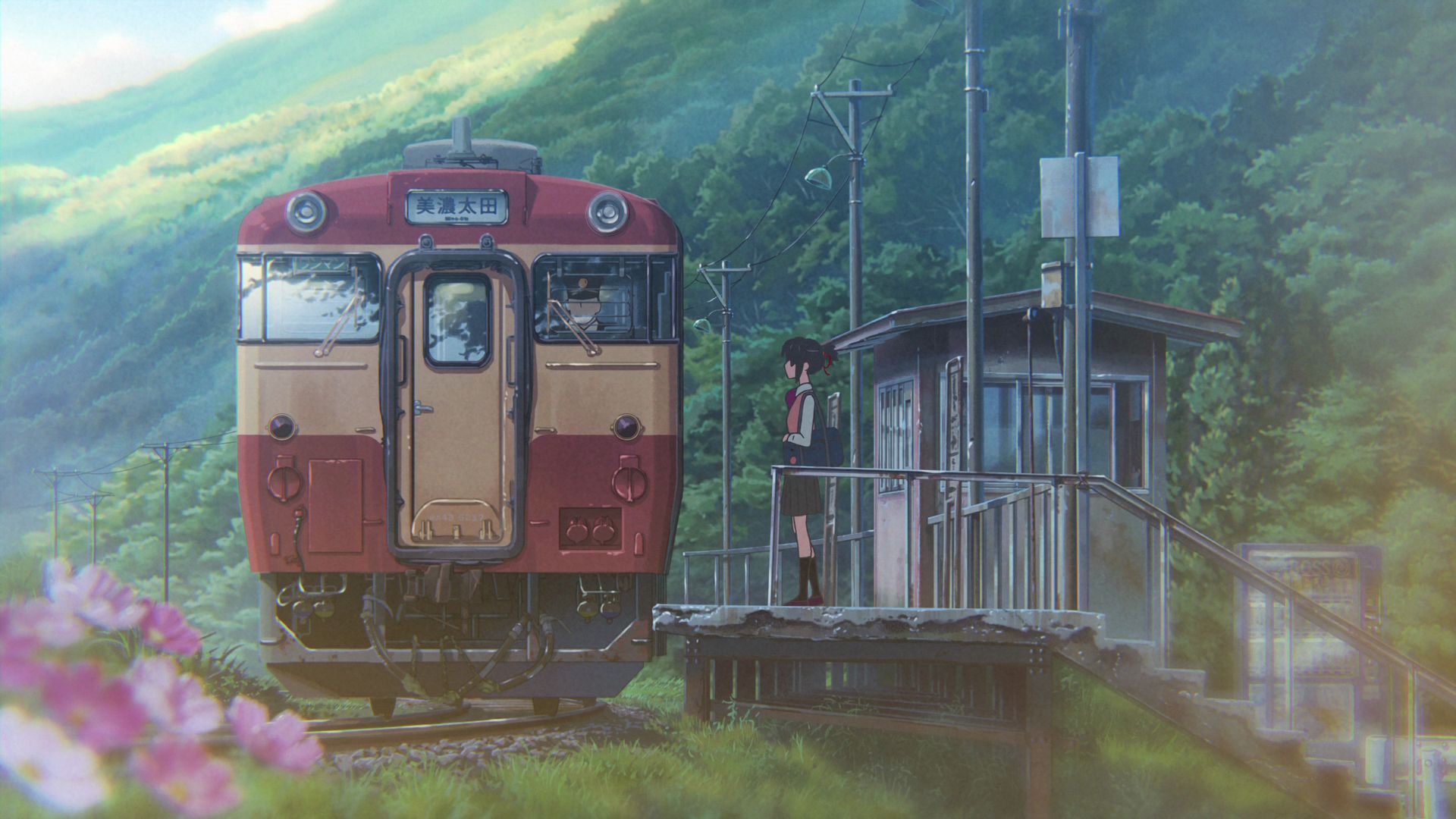
Hida-Furukawa Overpass - Hida-Furukawa Station Capture Point
A good shot of the railway and train can be taken from this overpass.
View in OpenStreetMap View in Google Maps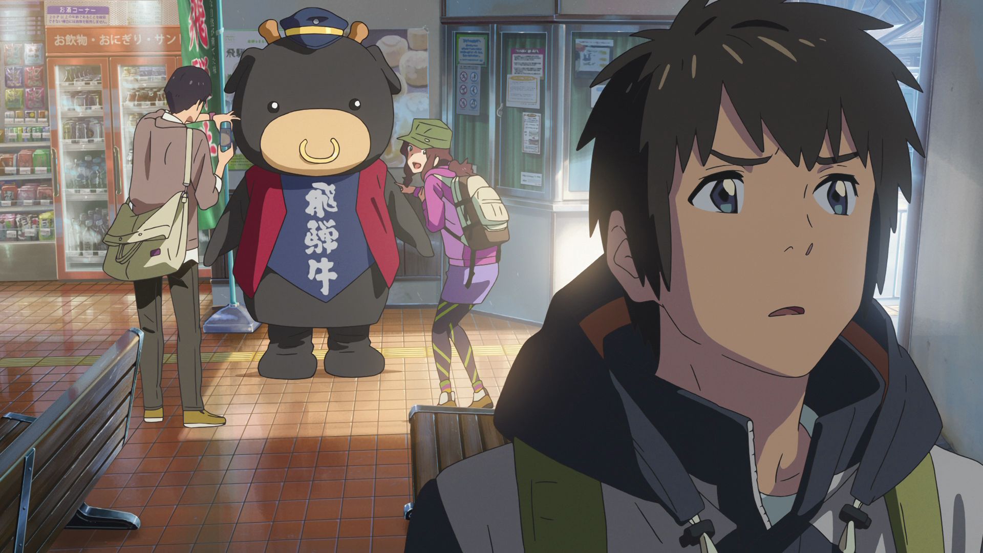
Hida-Furukawa Station
This is where Taki, Okudera-senpai, and Tsukasa got off and start to start looking around about the location of Itomori.
View in OpenStreetMap View in Google Maps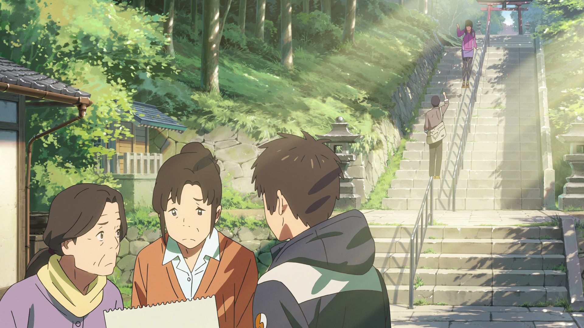
Keta Wakamiya Shrine
This is one of the places where Taki asks the locals on the location of Itomori only using the sketch he drew.
Official Site (JP) View in OpenStreetMap View in Google Maps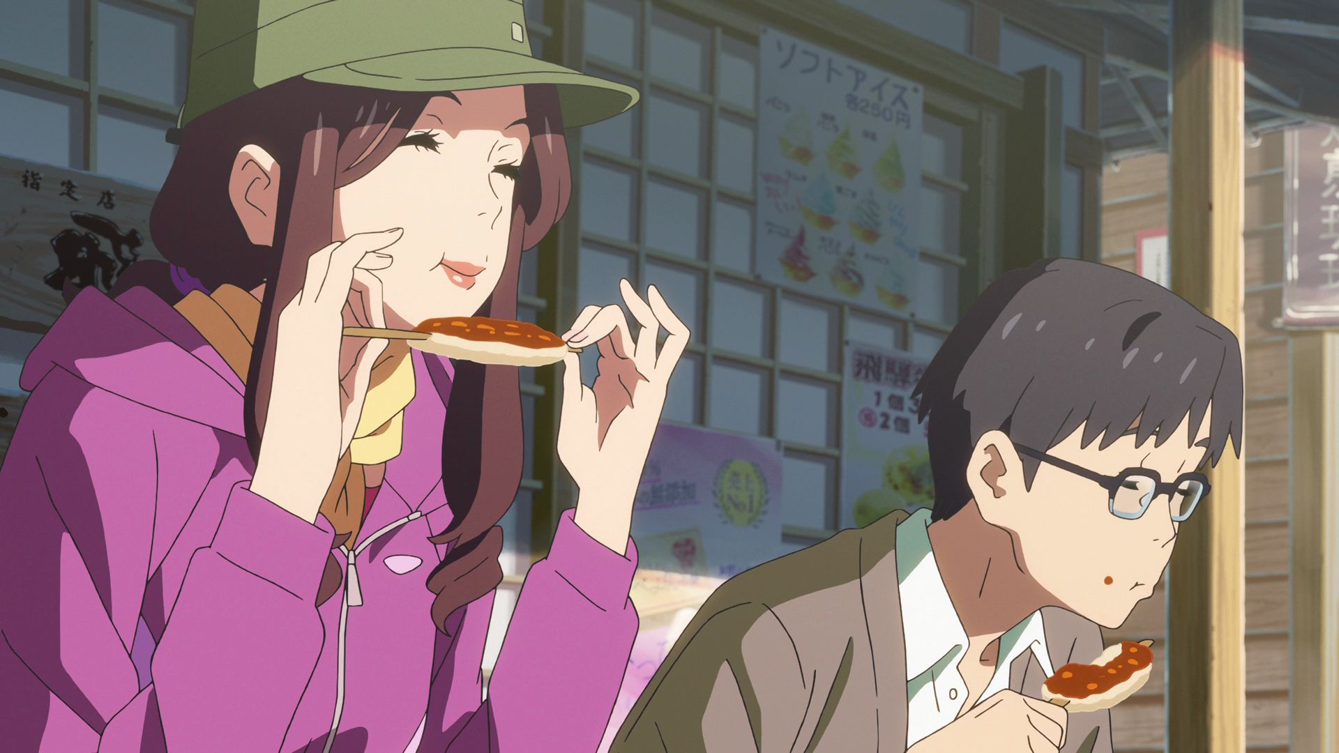
Ajidokoro Furukawa
This is where Okudera-senpai and Tsukasa ate Gohei Mochi while Taki asks the locals on the location of Itomori only using the sketch he drew.
Official Site (JP) View in OpenStreetMap View in Google Maps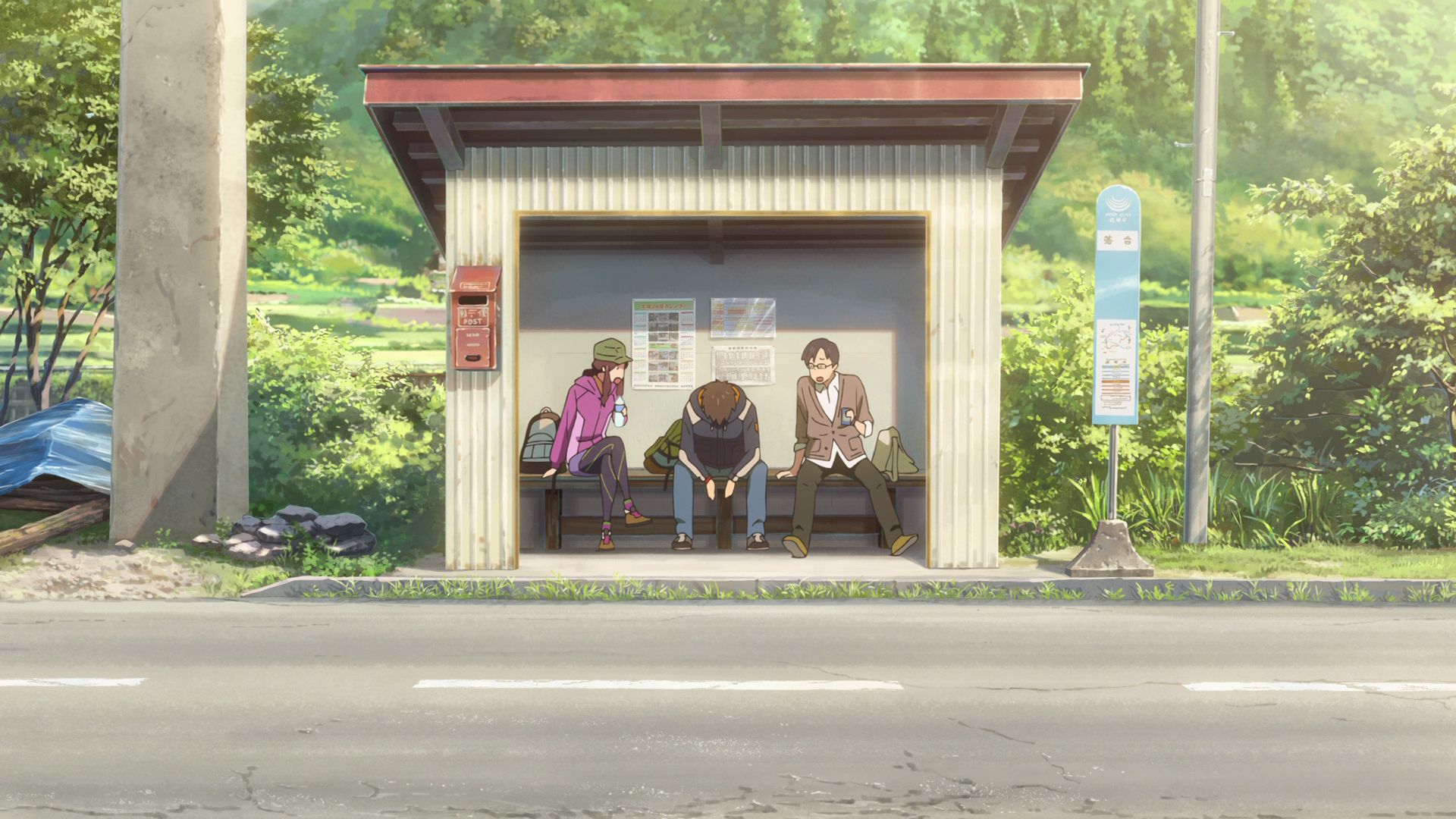
Kawai Miyagawa Bus Stop
This is where Taki, Okudera-senpai, and Tsukasa stopped for a but before heading for a ramen shop.
View in OpenStreetMap View in Google Maps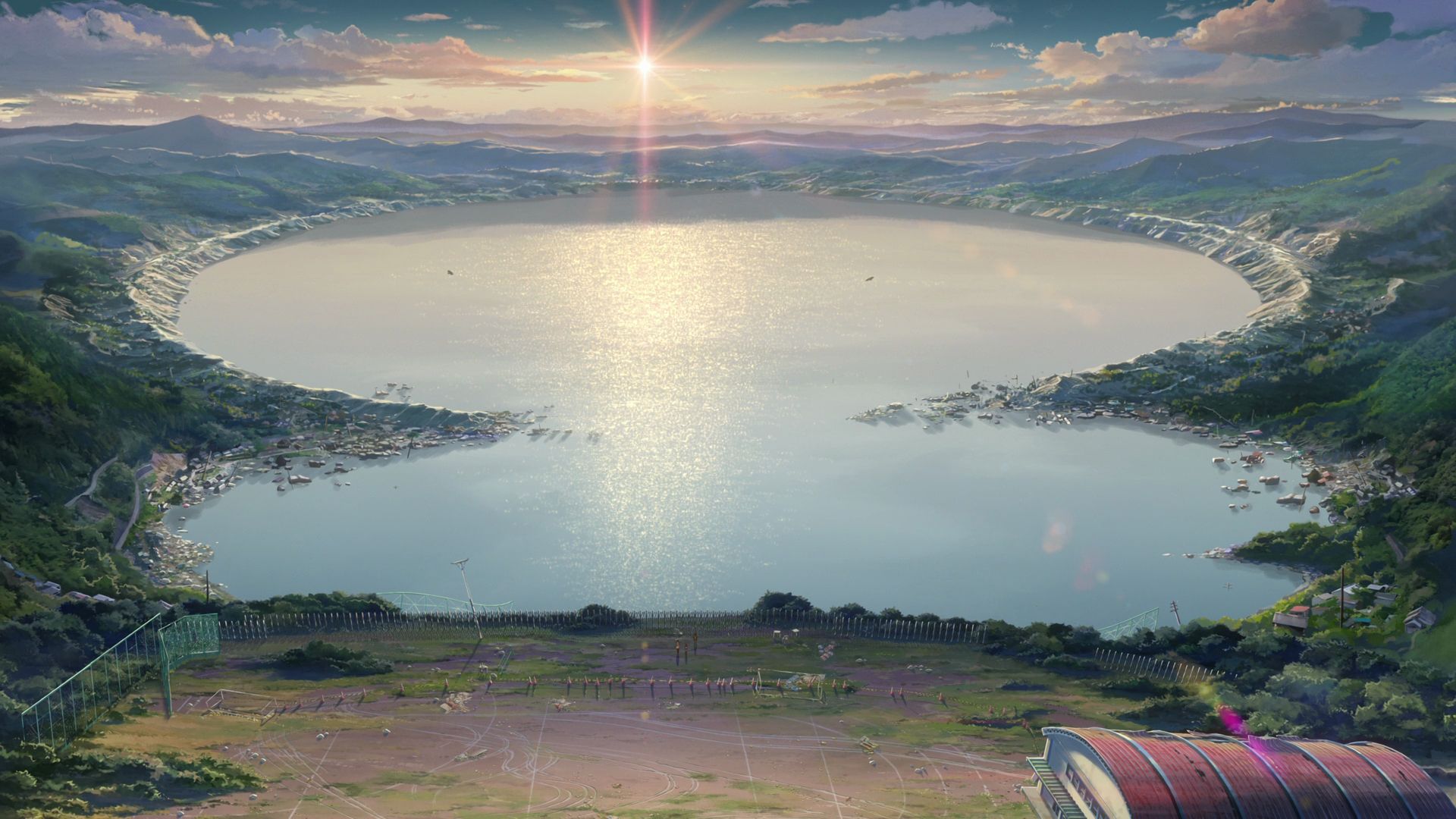
Tateishi Park
A view of Suwa Lake from this park is a very similar view to Itomori Lake seen from Itomori High School.
Official Site (JP) View in OpenStreetMap View in Google Maps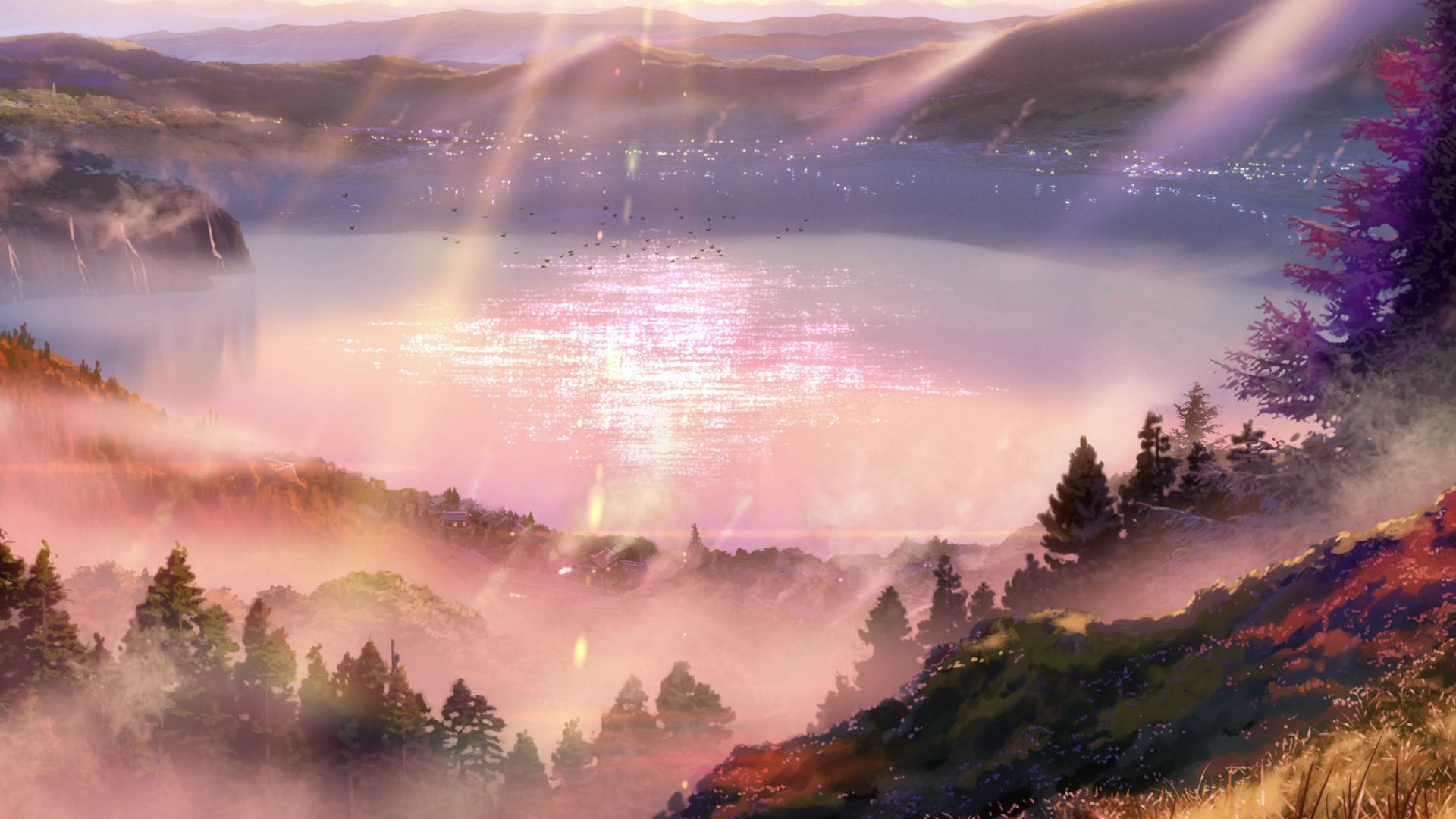
Matsubara Lake
This is one of the Model Locations for Itomori Lake.
View in OpenStreetMap View in Google Maps
Otsuki Lake
This is one of the Model Locations for Itomori Lake.
View in OpenStreetMap View in Google Maps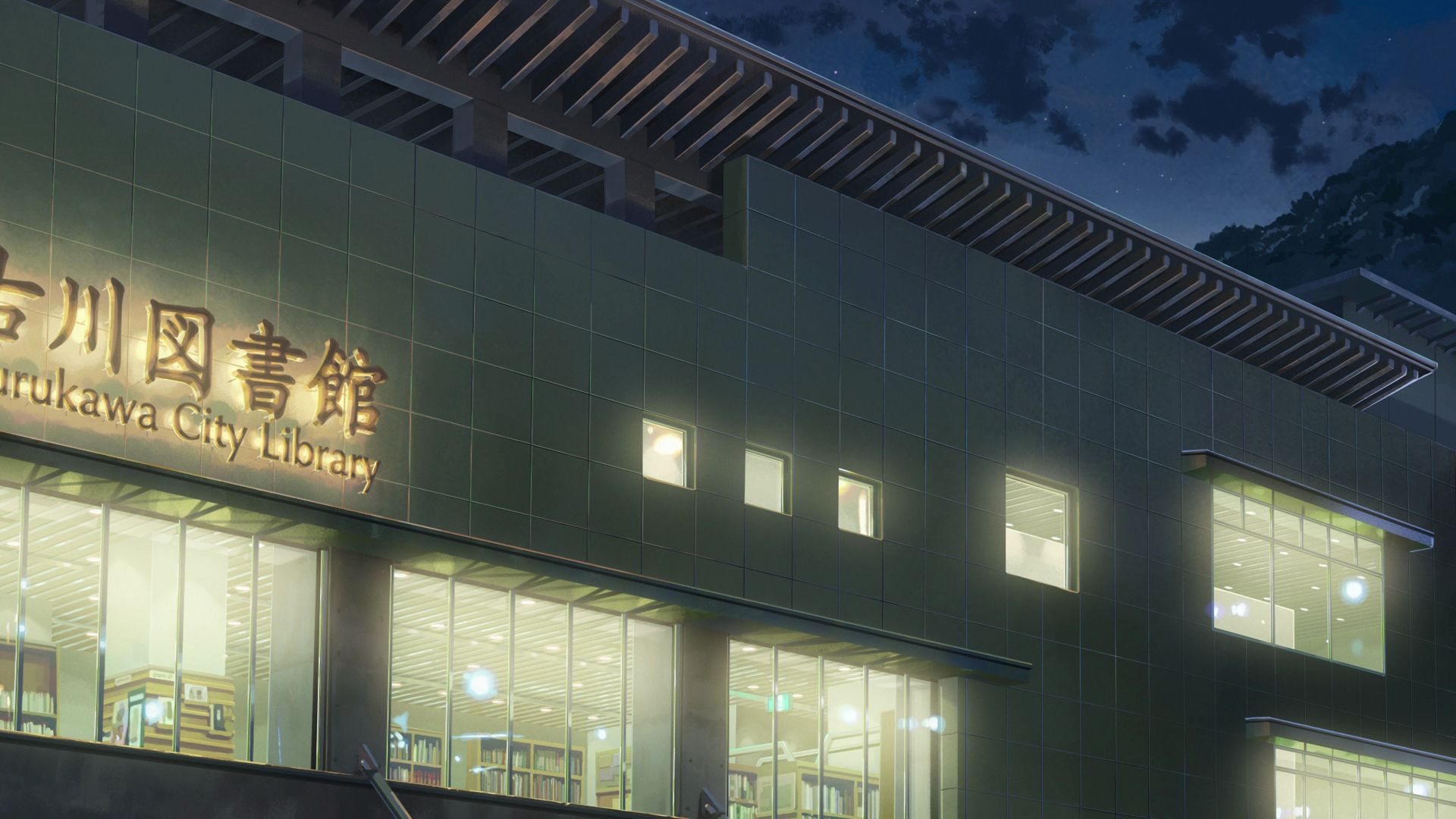
Hida City Library
This is where Taki, Okudera-senpai, and Tsukasa researched into the Itomori Incident and discovers that Mitsuha was among the casualties of the incident.
Official Site (JP) View in OpenStreetMap View in Google Maps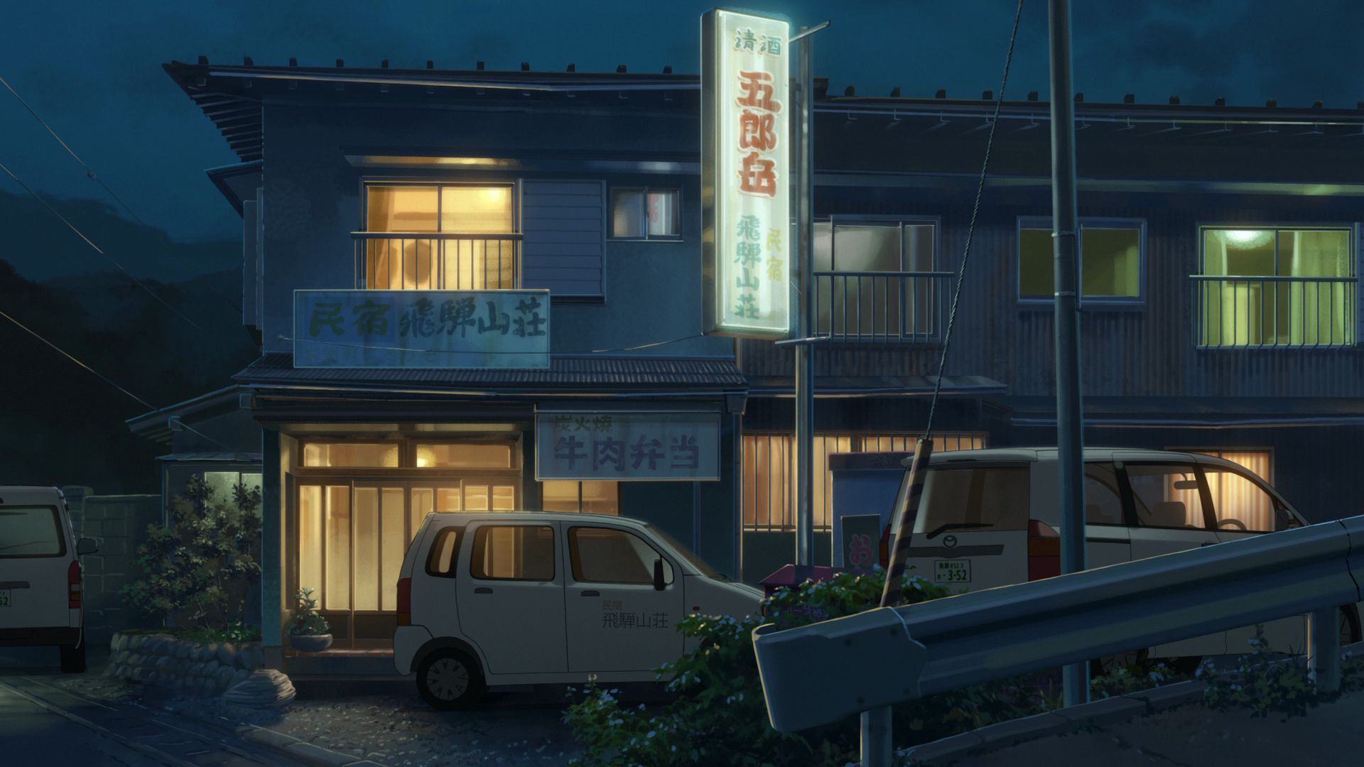
Guesthouse Okuooi
This is where Taki, Okudera-senpai, and Tsukasa spent the night after spending an entire day going to places and discovering the fate of Itomori.
View in OpenStreetMap View in Google Maps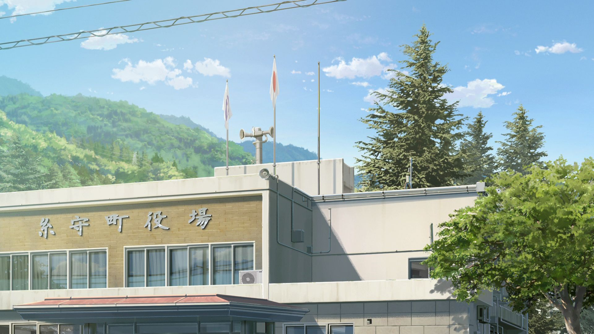
Katsuragi Town Hall
This is the model location for the Itomori Town Hall.
Official Site (JP) View in OpenStreetMap View in Google MapsPart 4
This part covers 01:09:01 to 01:32:00 of the movie.
Maeda-Minami Station
This is a model station for the train station where Mitsuha got on a train to Tokyo to meet Taki in person.
View in OpenStreetMap View in Google Maps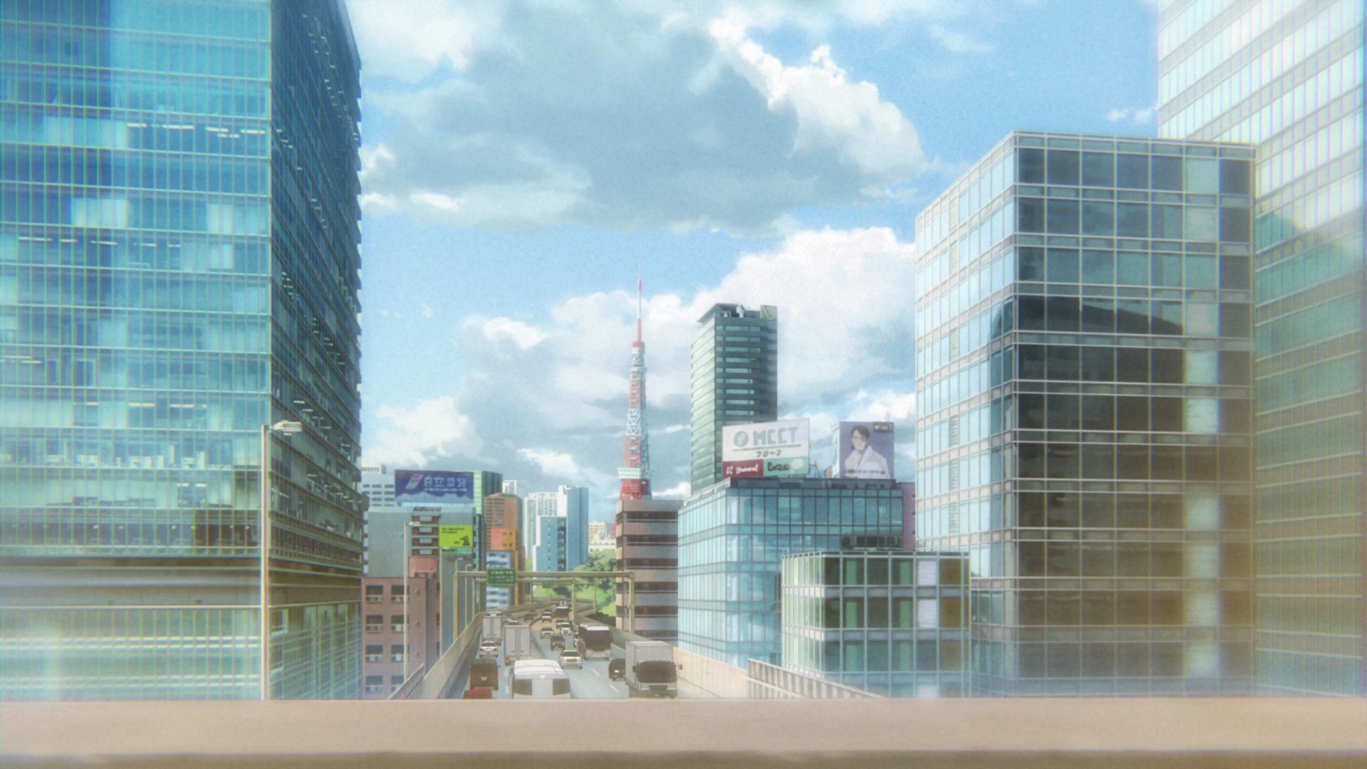
Tokyo Monorail Tokyo Tower Capture Point Near Hamamatsuchō Station
This is a capture point that doesn't align with the anime. In the anime, the Tokyo Tower can be seen from the Tokaido Shinkansen on a railway above the elevated road.
In reality, the Tokaido Shinkansen goes under the elevated road and only the Tokyo Monorail goes above the elevated road, and to top it all off, you cannot see the Tokyo Tower from this location.
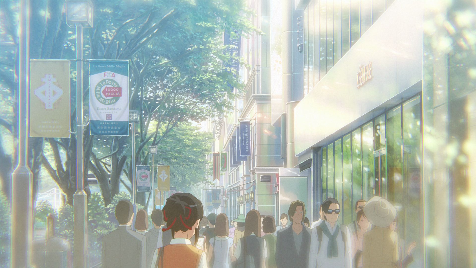
Omote Sando Sidewalk Capture Point
This is where Mitsuha explores Tokyo in an effort to find Taki.
View in OpenStreetMap View in Google Maps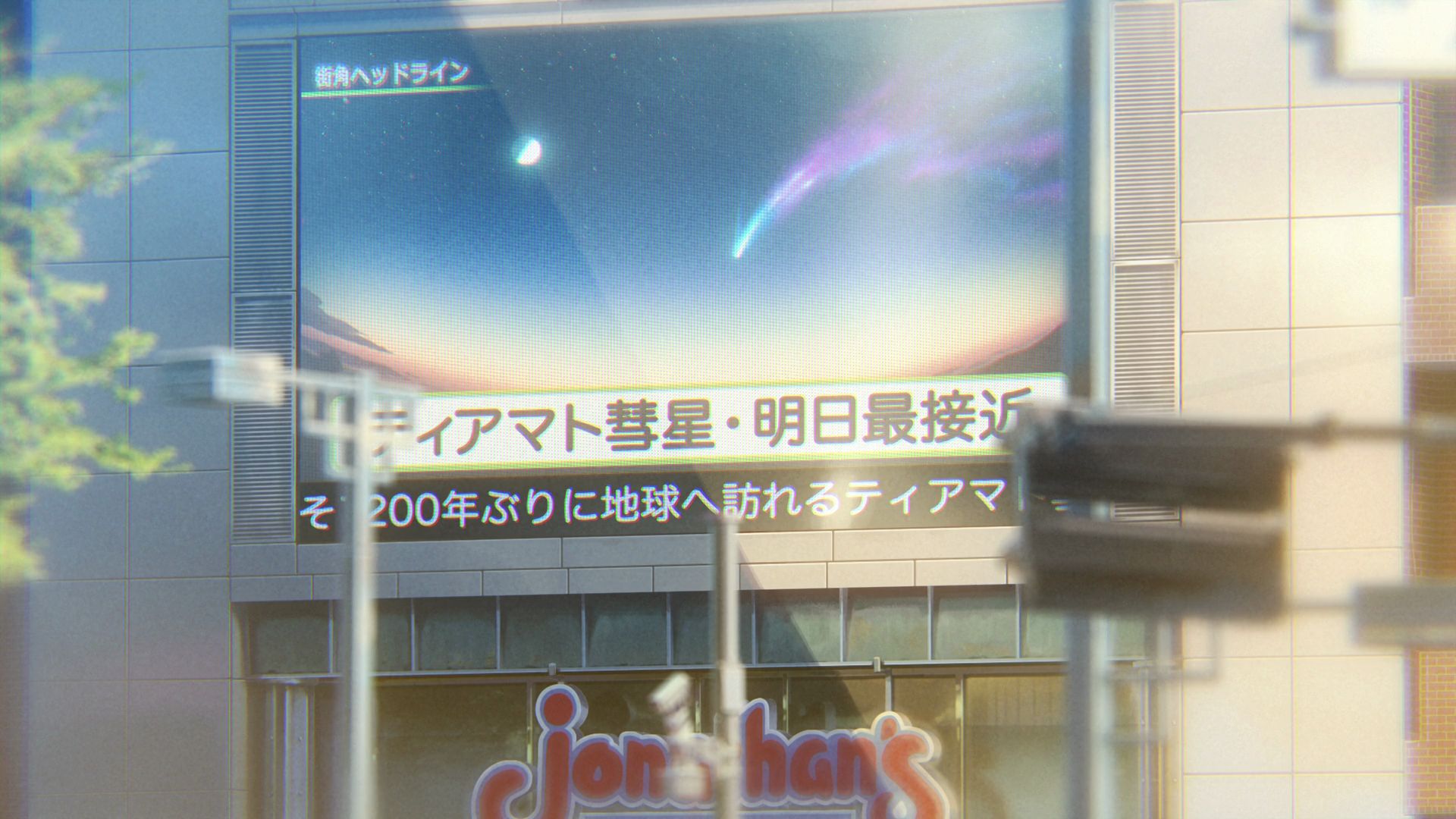
Jonathan's
This was seen as Mitsuha was going around the area trying to look for Taki. The monitor on this building was showing when the comet will be at it's closest.
Official Site (JP) View in OpenStreetMap View in Google Maps
Takabotchi Highlands
The view of Itomori and it's lake from the Goshintai is based on the view of Lake Suwa from this location.
View in OpenStreetMap View in Google Maps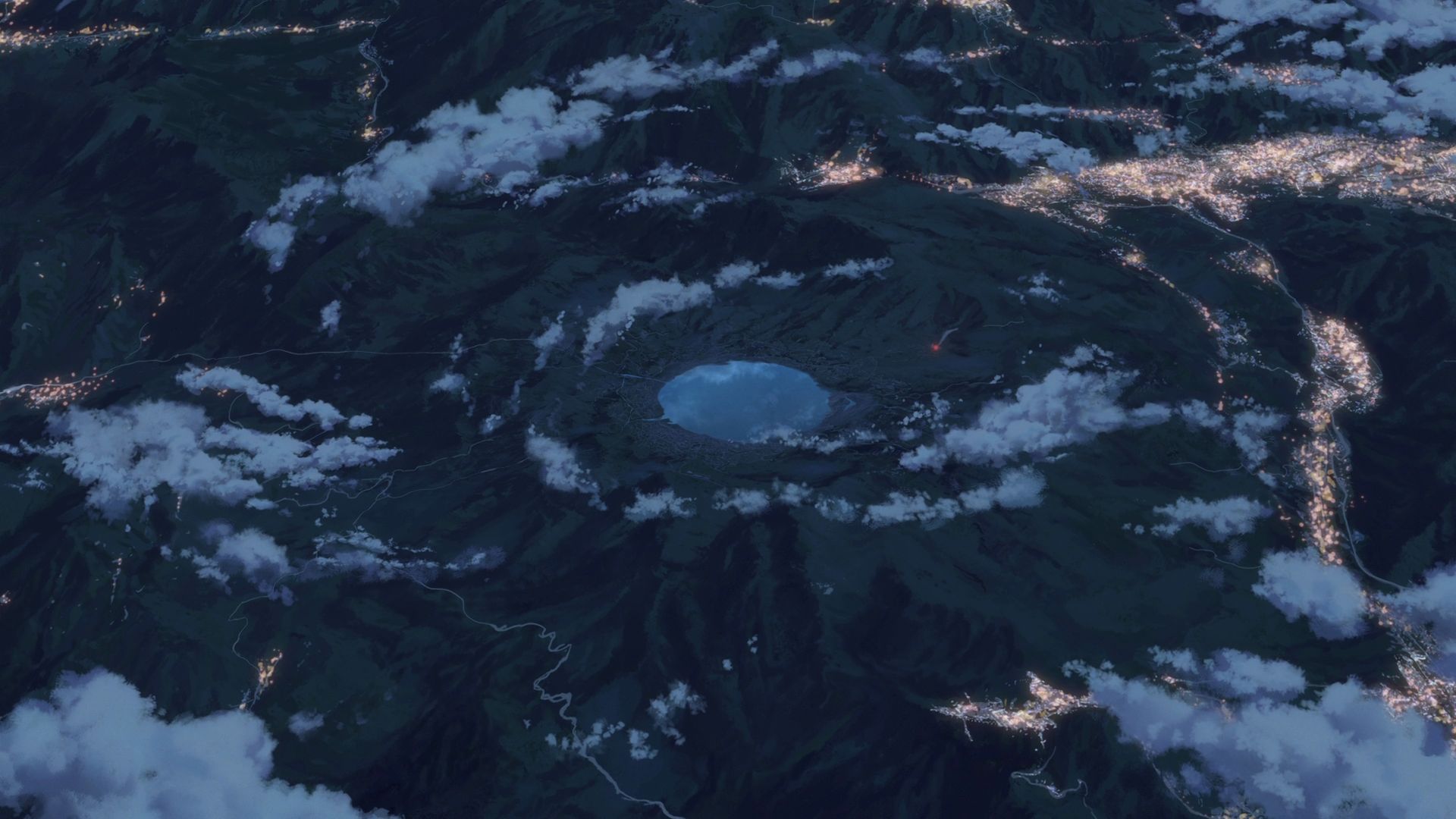
Itomori Town Terrain Model
The pan-out scene for Sparkle shows electricity being cut all throughout Itomori.
This is the terrain model and it has NO LAKE and it is NOT ACCESSIBLE.
Akomu Billboard Capture Point
The comet can be seen breaking just above the billboard of this building.
View in OpenStreetMap View in Google MapsPart 5
This part covers 01:32:01 to the end of the movie.
Yoyogi Station
Taki leaves the train here after catching a glimpse of someone who seems to be wearing the braided cord of Mitsuha.
Taki got off the train at Platform 3.
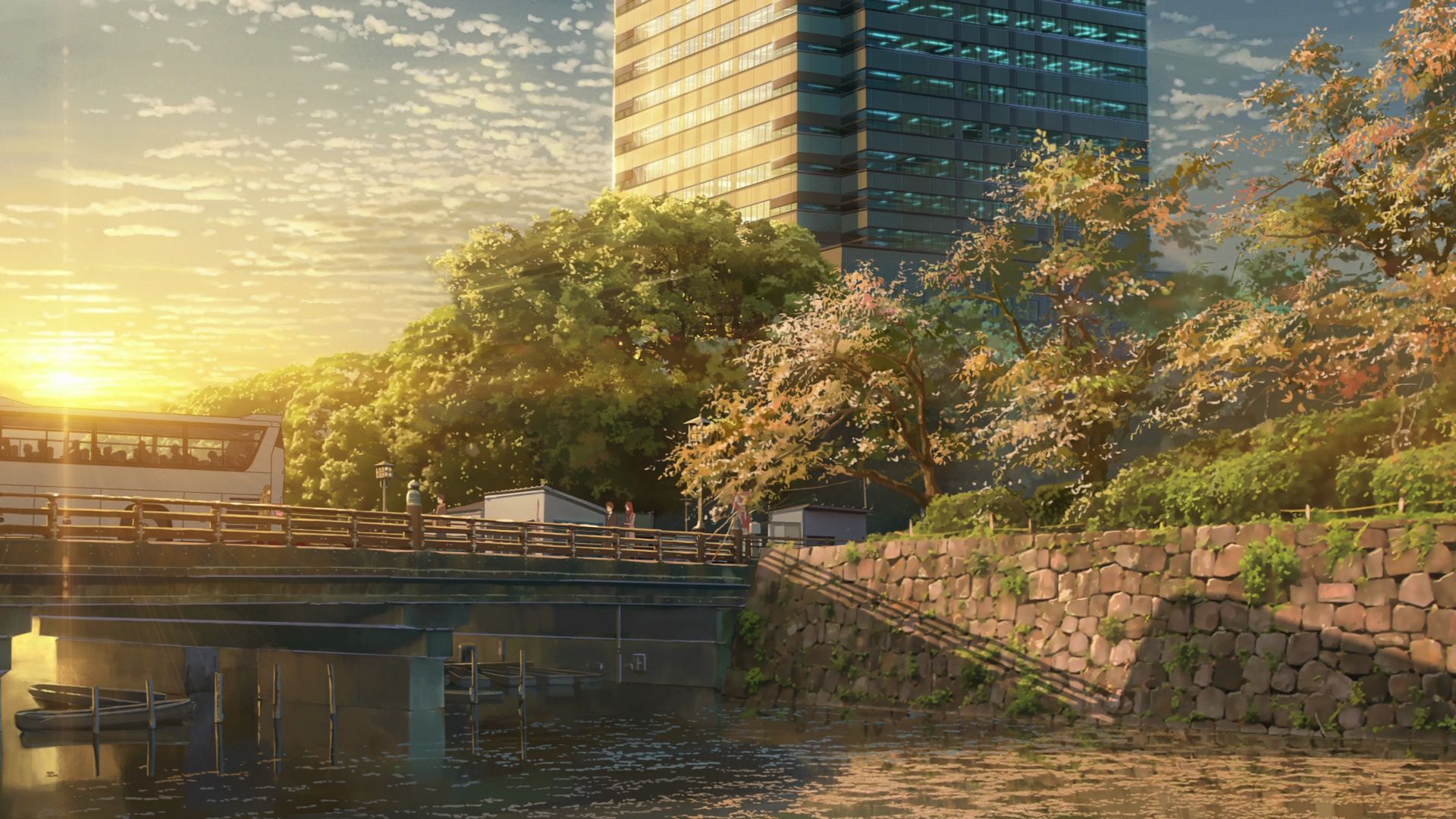
Benkei Bridge
This bridge was featured as Taki and Okudera reminisce about their trip to Itomori.
Official Site View in OpenStreetMap View in Google Maps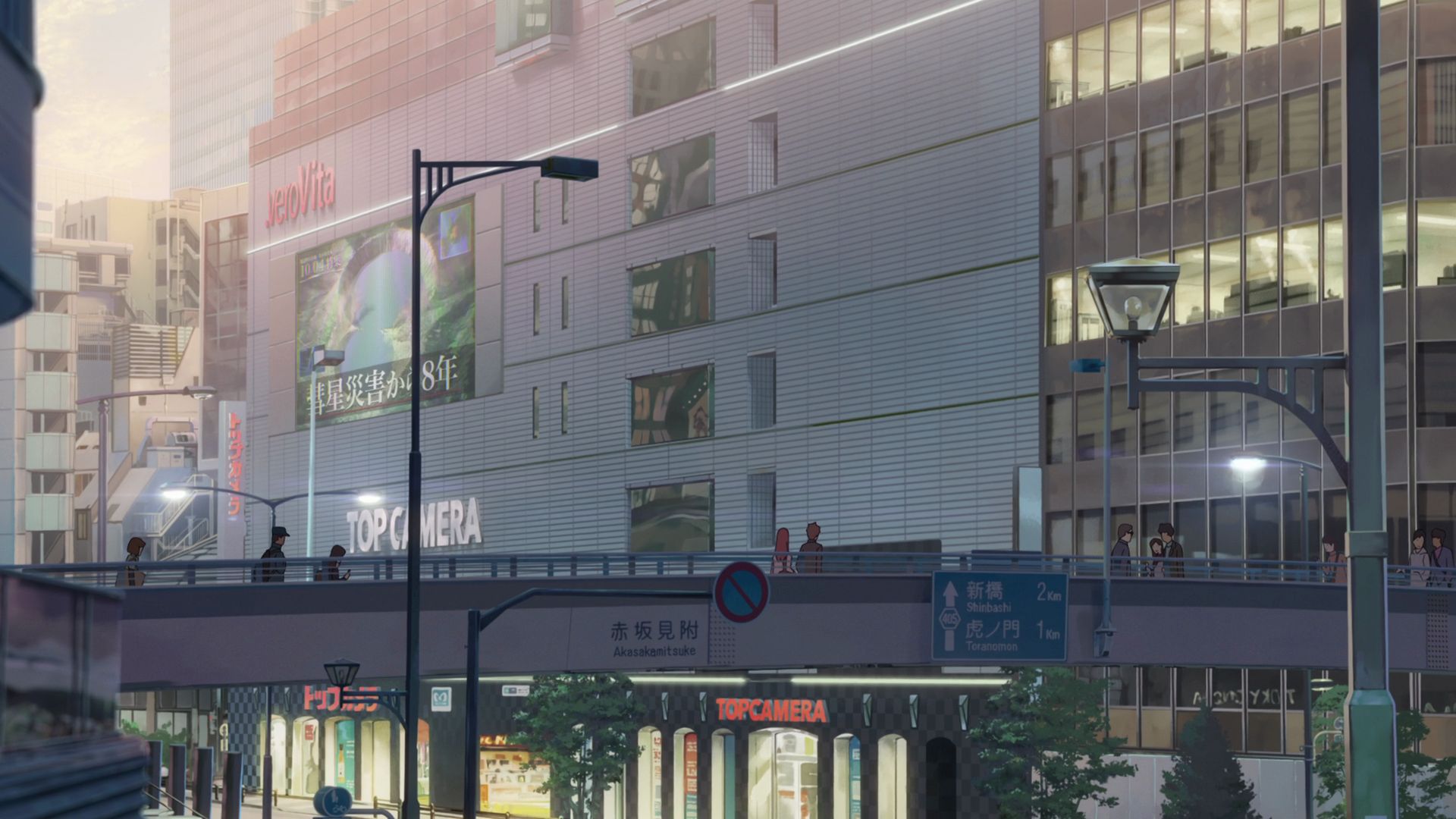
Akasaka Excel Hotel Tokyu Capture Point
Taki and Okudera walk on the footbridge as they continue to talk about their trip to Itomori.
View in OpenStreetMap View in Google Maps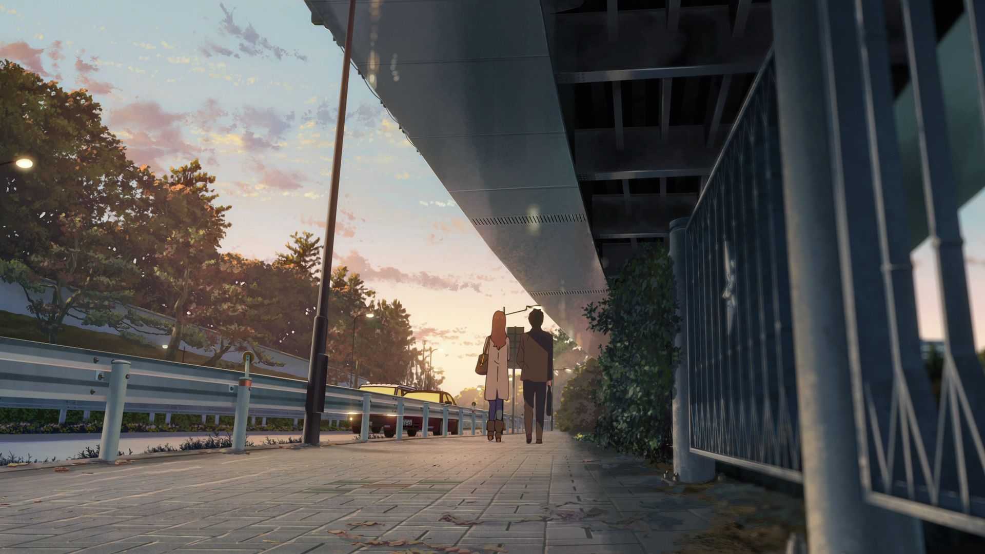
Footpath Beside Sotobori-dori Avenue Capture Point
Taki and Okudera walks here as they continue to talk about their trip to Itomori.
View in OpenStreetMap View in Google Maps
Docomo Tower Capture Point
A shot of the Docomo Tower was taken from this location.
View in OpenStreetMap View in Google Maps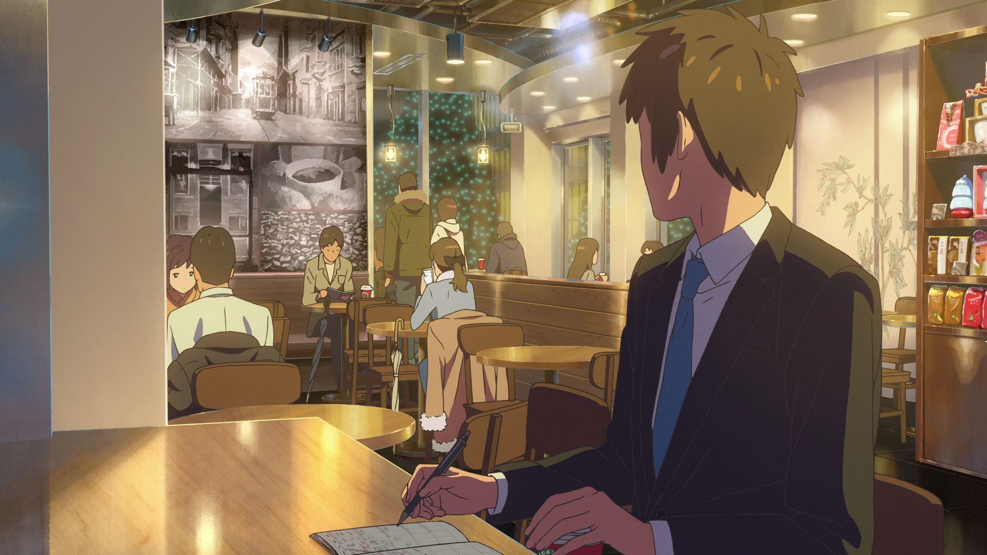
Starbucks Coffee Shinjuku Station
Taki looks through his planner and overhears Sayaka and Tessie talking about bridal fairs. Taki does not recognize them though.
Official Site (JP) View in OpenStreetMap View in Google Maps
Shintoshin Pedestrian Overpass Capture Point
Face the pedestriam overpass from this point and align it naer the bottom of the frame with emphasis on the large buildings behind it.
Official Site (JP) View in OpenStreetMap View in Google Maps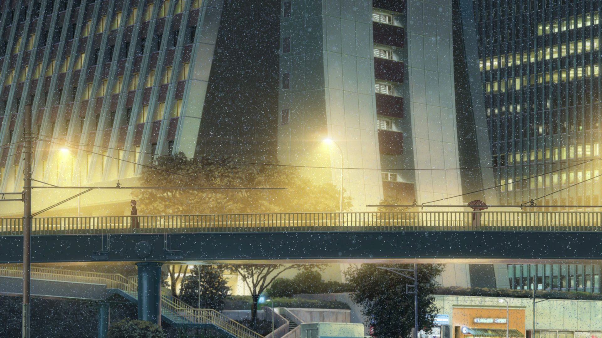
Shintoshin Pedestrian Overpass
Taki and Mitsuha pass by each other without making eye contact on this bridge and they don't recoignize each other.
View in OpenStreetMap View in Google Maps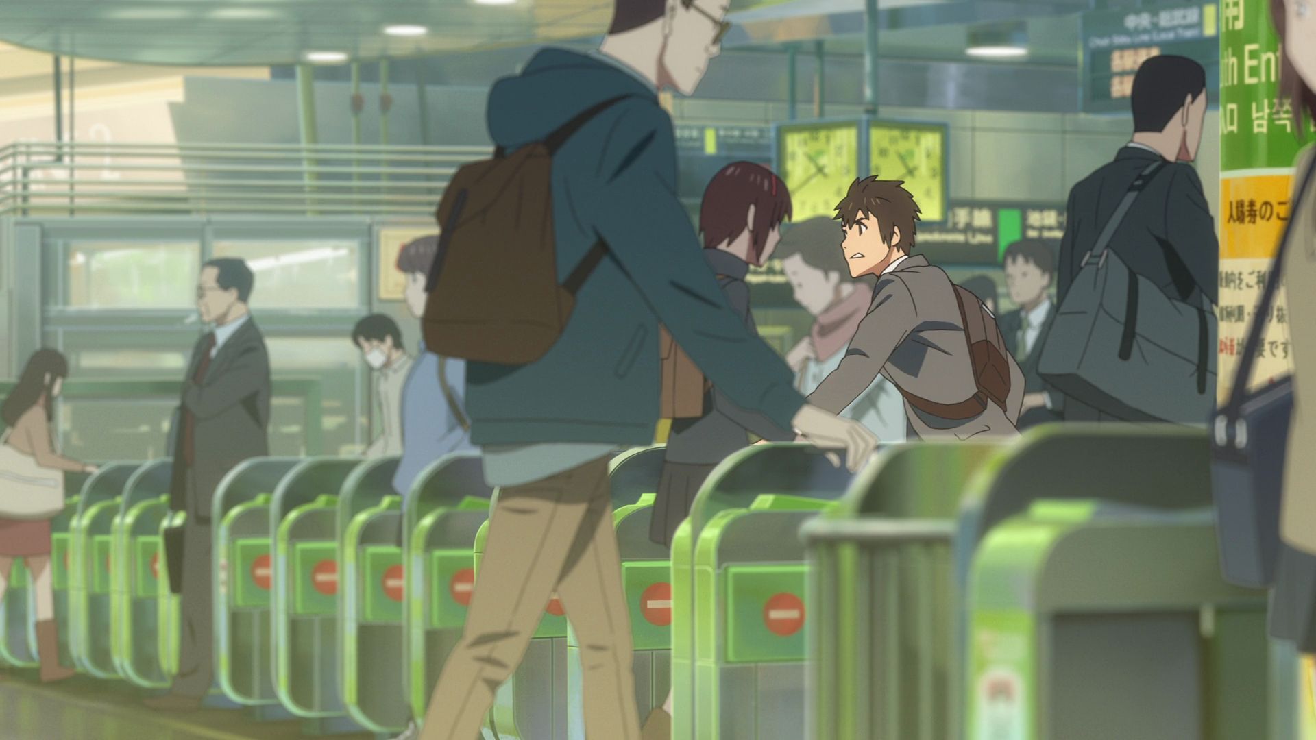
Shinjuku Station
This is the station where Taki runs off from the train he was riding after recognizing Mitsuha on another train headed to Sendagaya Station.
Official Site (JP) View in OpenStreetMap View in Google Maps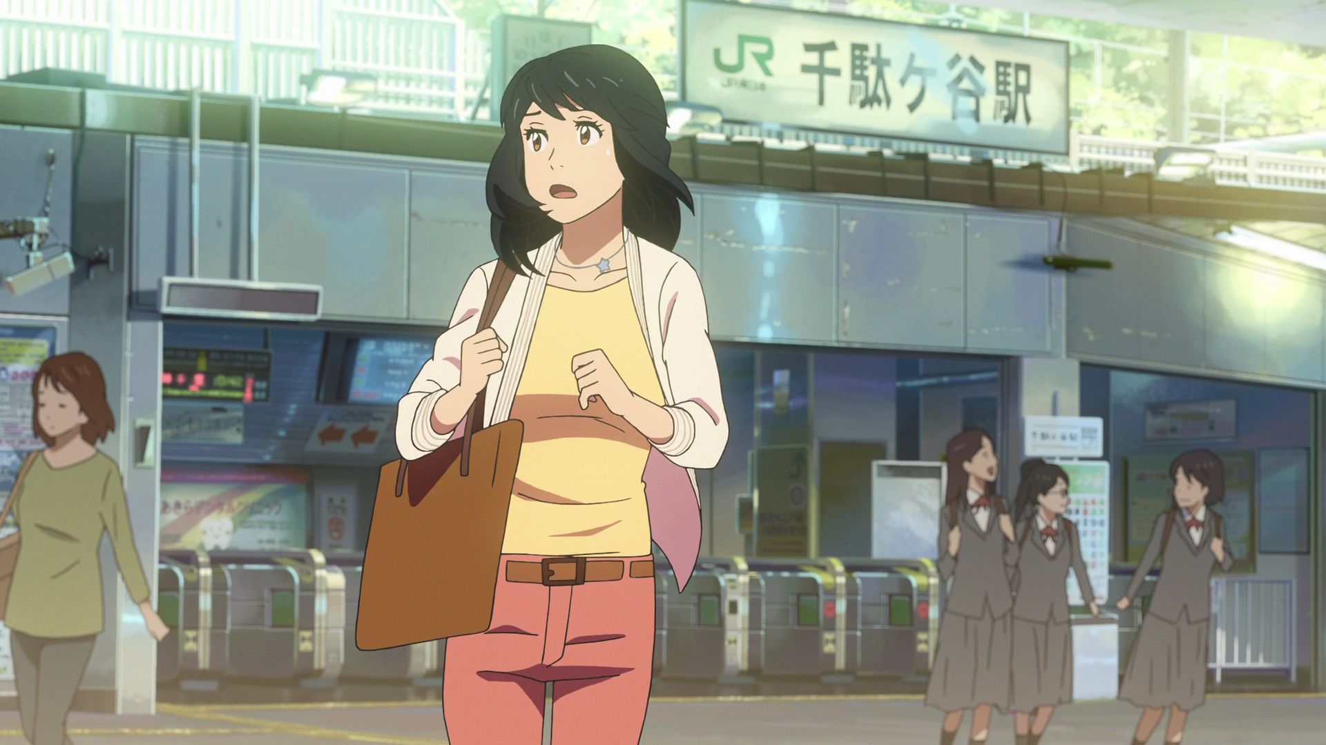
Sendagaya Station
This is the station where Mitsuha runs off from the train she was riding after recognizing Taki on another train headed to Shinjuku Station.
Official Site (JP) View in OpenStreetMap View in Google Maps
Yotsuya Kakusho Bridge Capture Point
This is a bridge that Mitsuha ran past while trying to look for Taki.
Face the elevated road and tall buildings from this location and take a photo.
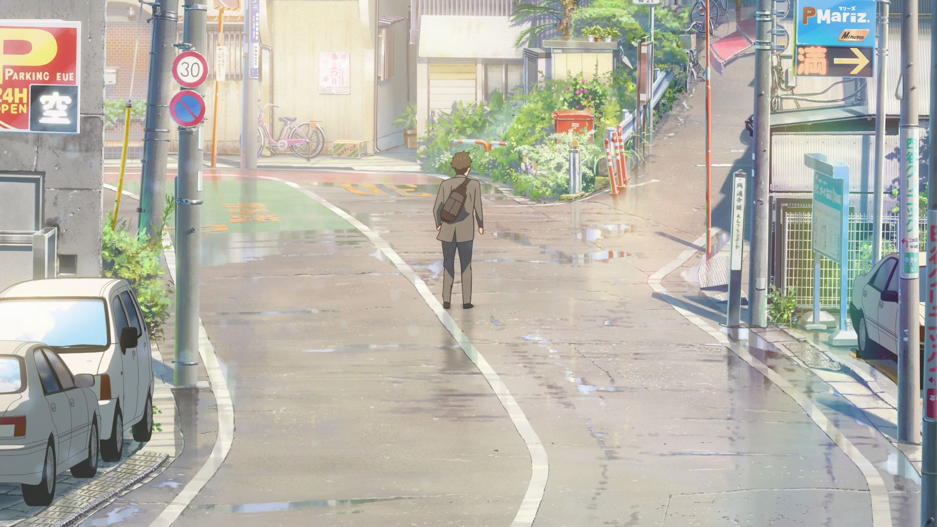
Entsuji-zaka Fork Capture Point
Taki decides which direction to take as he runs trying to look for Mitsuha.
Face the fork in the road from this direction and take a photo.
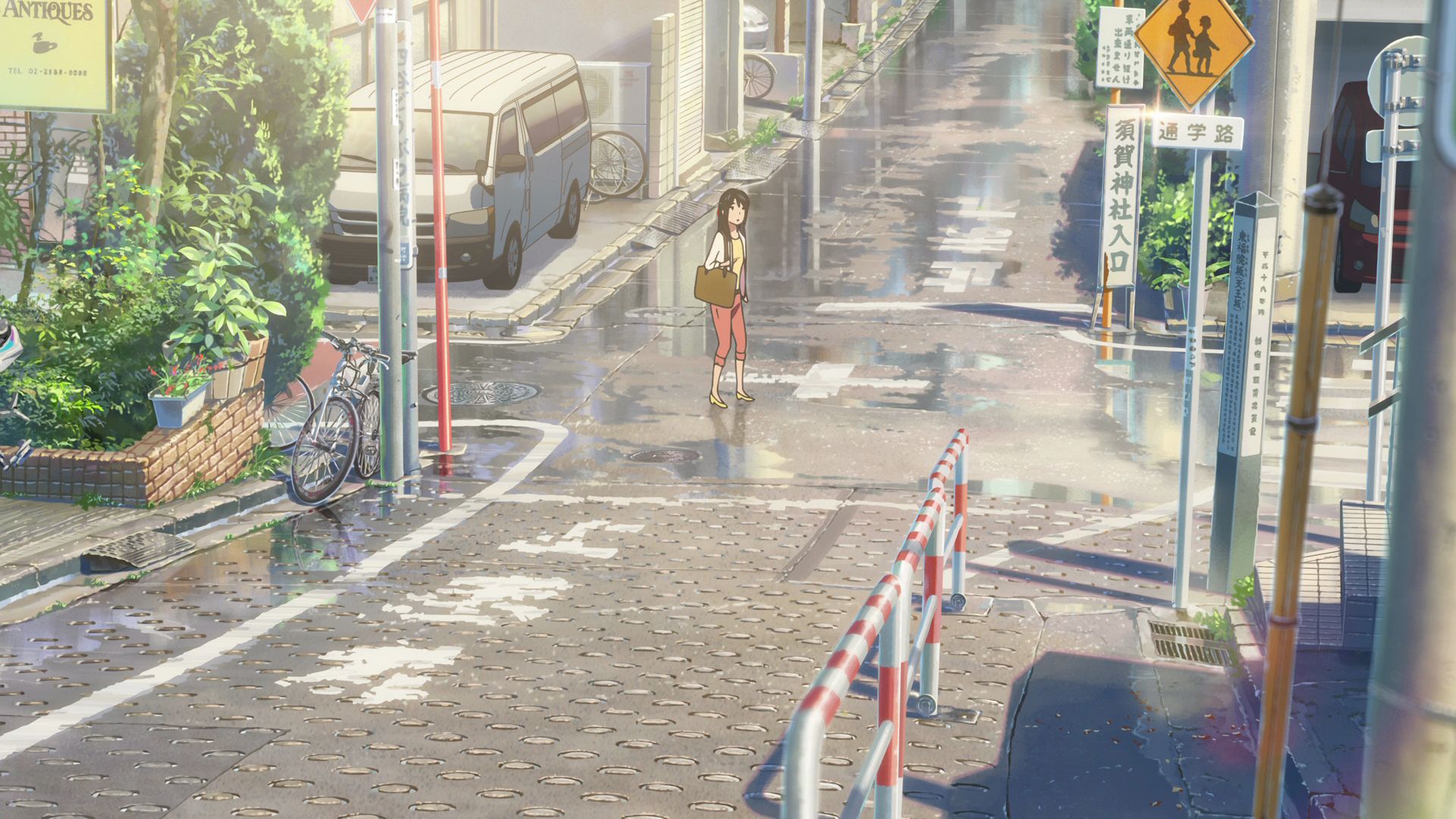
Tofukuin-zaka Capture Point
Mitsuha runs through here as she goes around trying to look for Taki.
View in OpenStreetMap View in Google Maps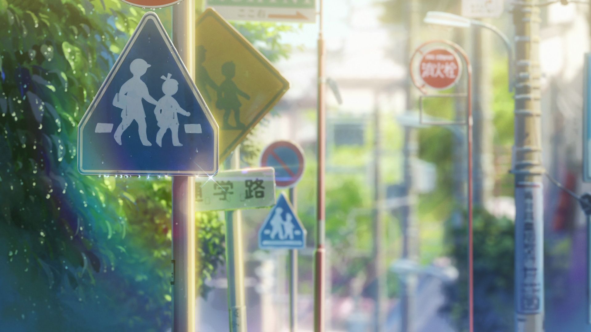
Signs near Yotsuya Elementary School
This is where a shot of street signs were based on.
Some signs got removed.
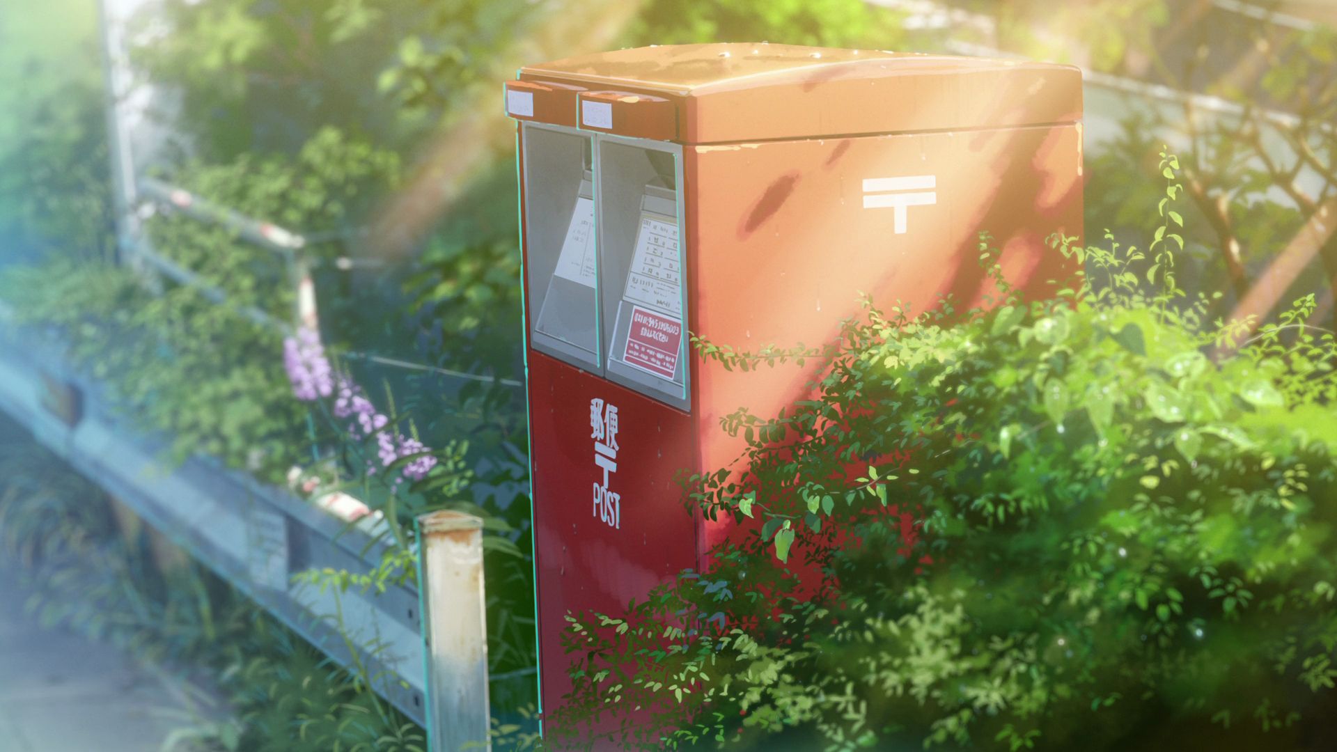
Entsuji-zaka Fork Mailbox Capture Point
This is where that red mailbox in the sequence leading up to the staircase is located.
View in OpenStreetMap View in Google Maps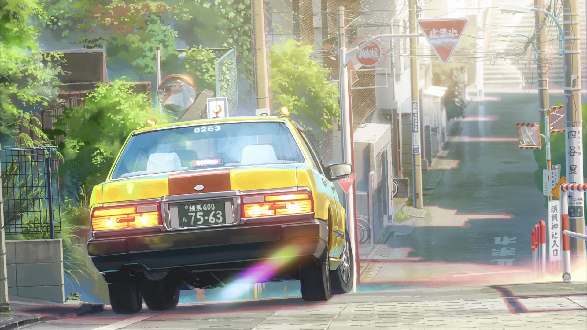
Slope Near Tofukuin-zaka Capture Point
This is where the shot of a street and a yellow car was based on.
View in OpenStreetMap View in Google Maps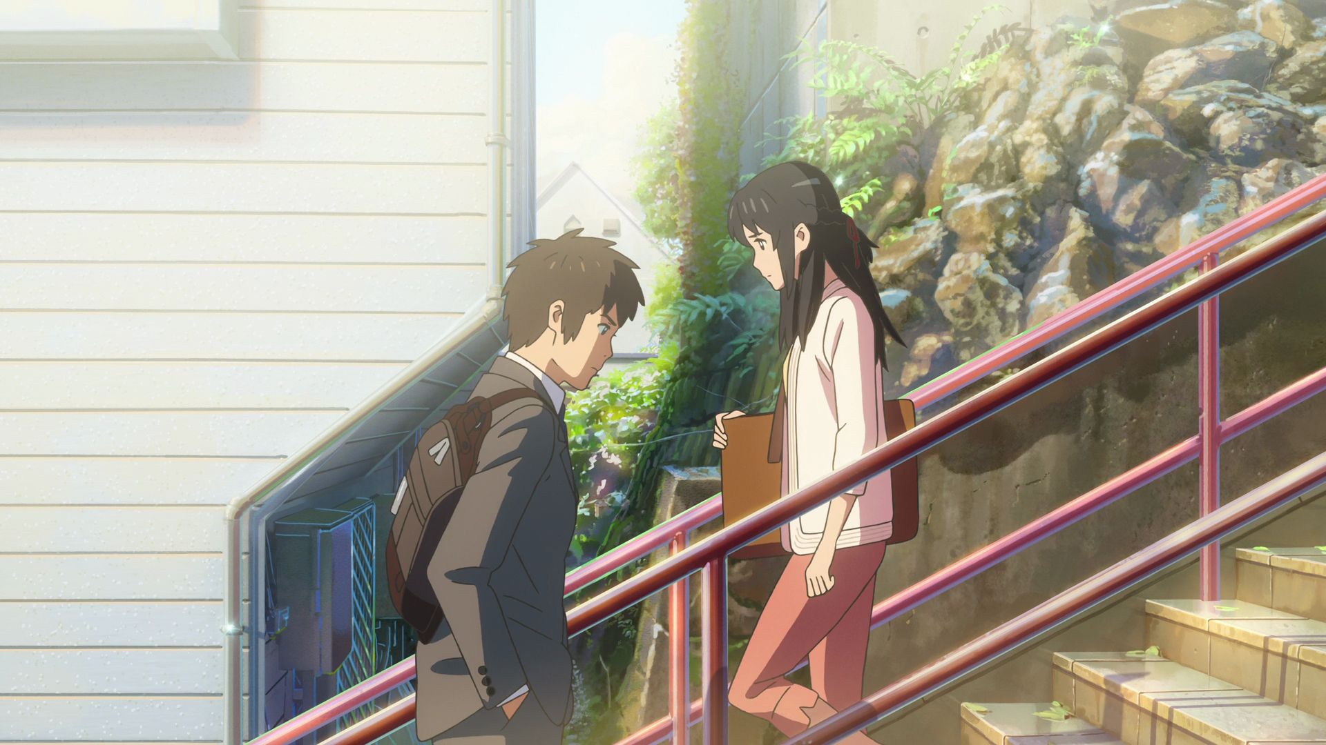
'Your Name' Staircase
This is the famed staircase where Taki and Mitsuha finally meet and ask for their names.
Official Site (JP) View in OpenStreetMap View in Google Maps