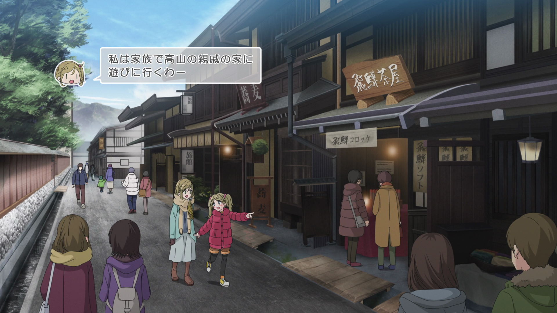
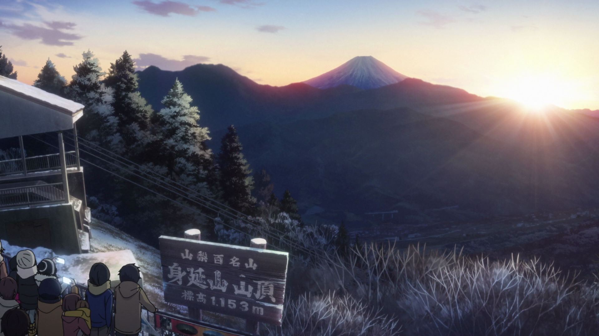
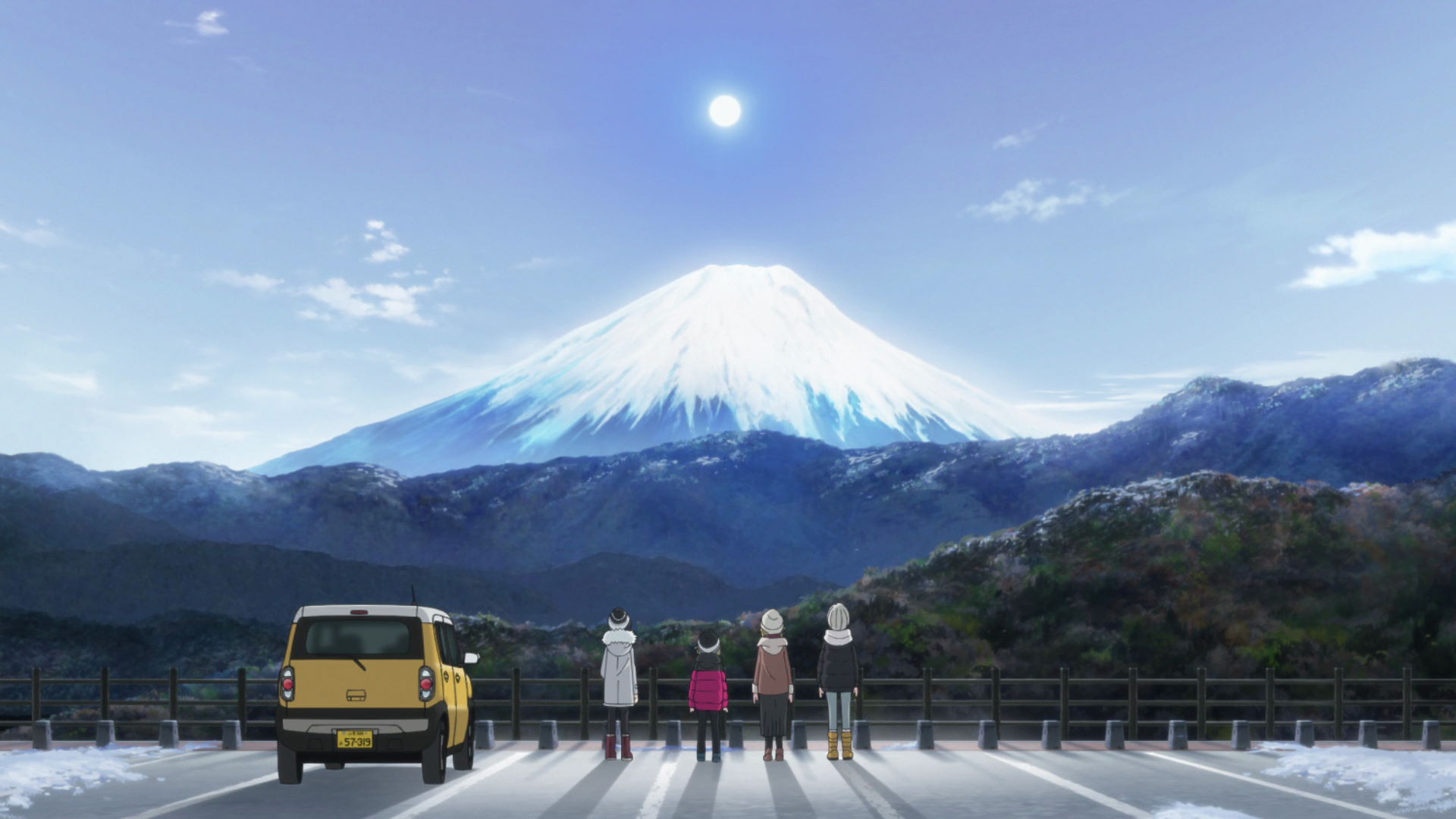
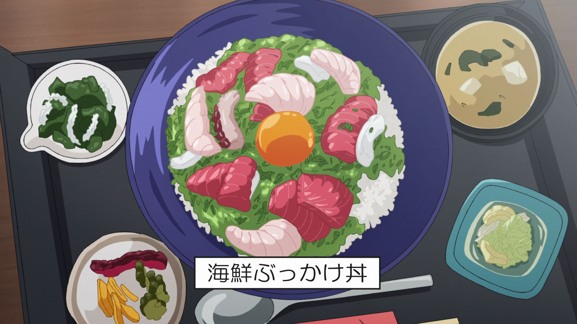
Mount Fuji and Curry Noodles
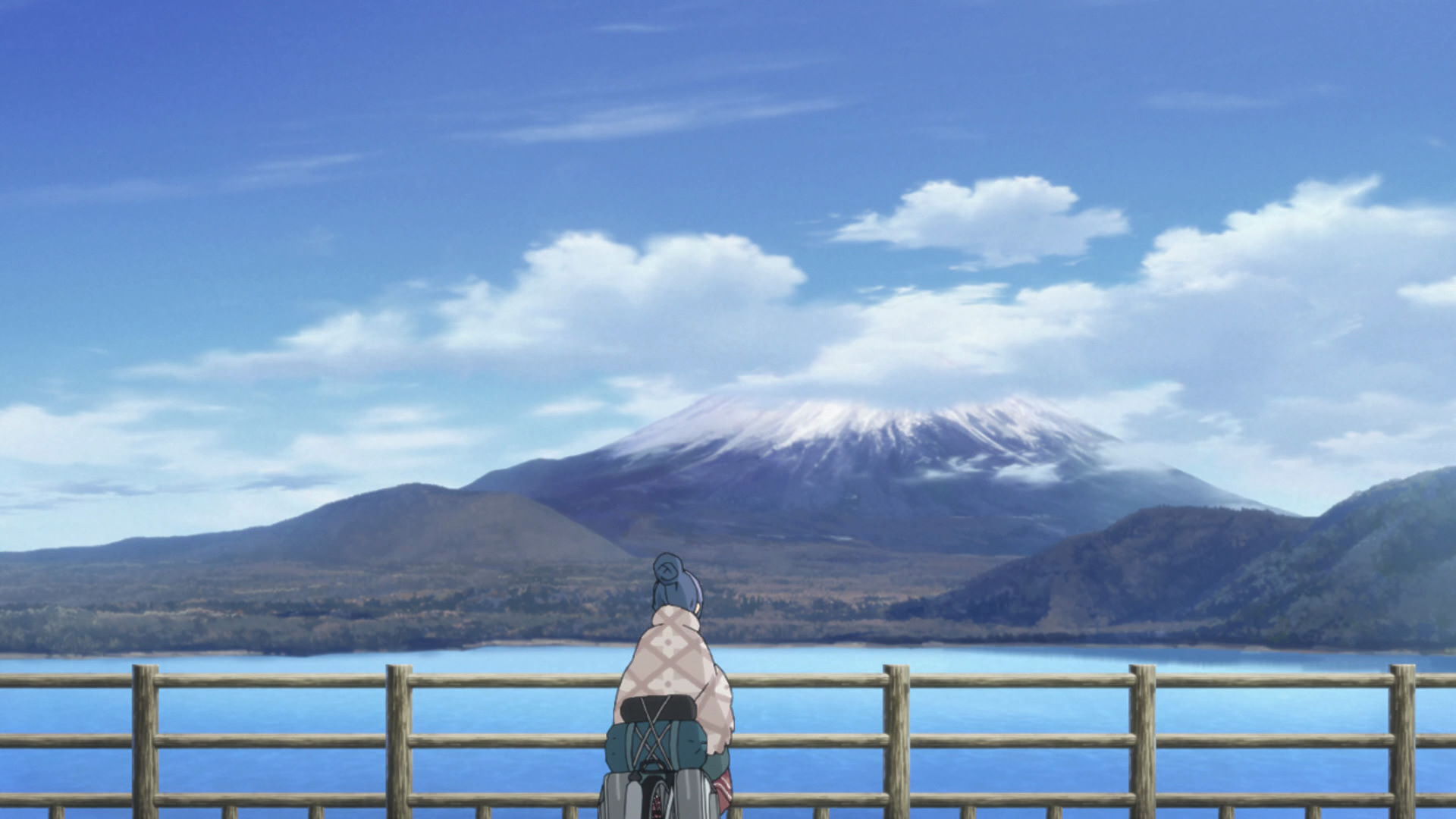
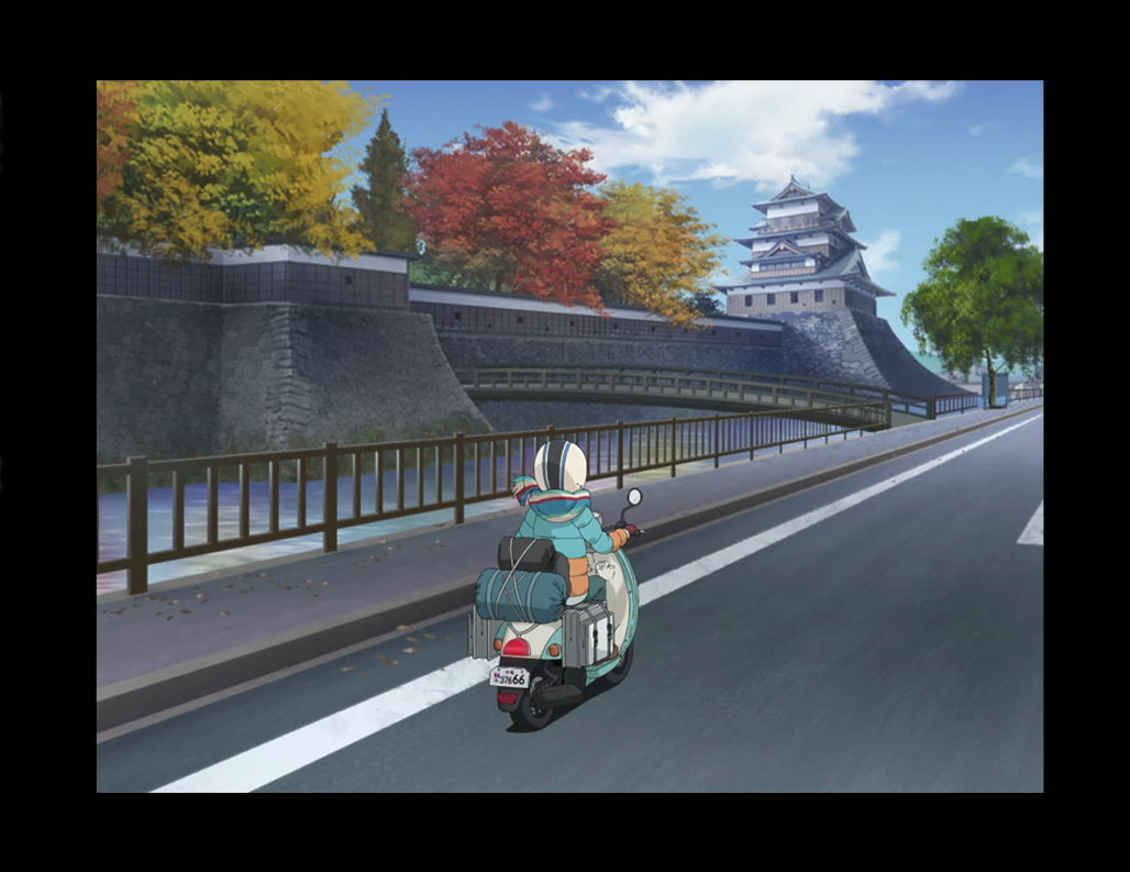
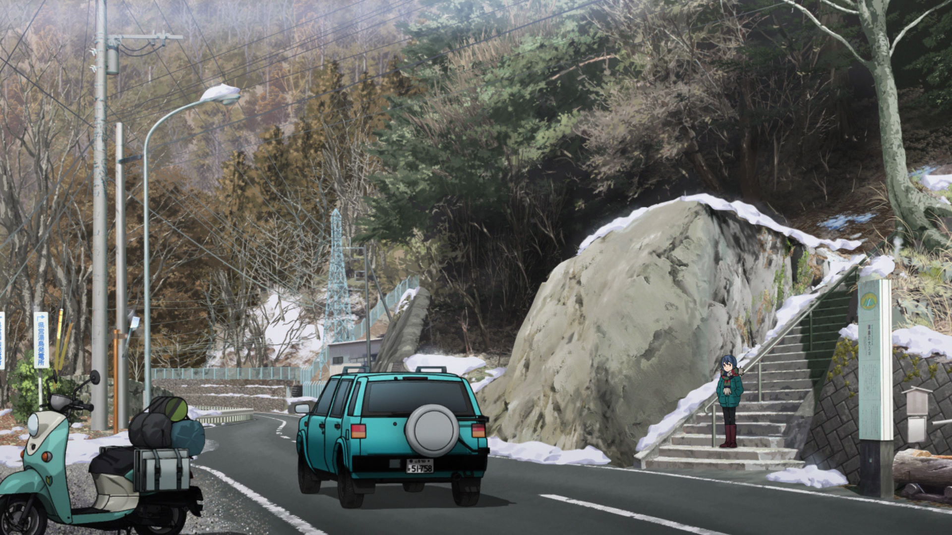
Route 300-709 Intersection and Rin Bike Stop
Rin stops here and checks the time while showing us a great view of Mt. Fuji.
View in OpenStreetMap View in Google Maps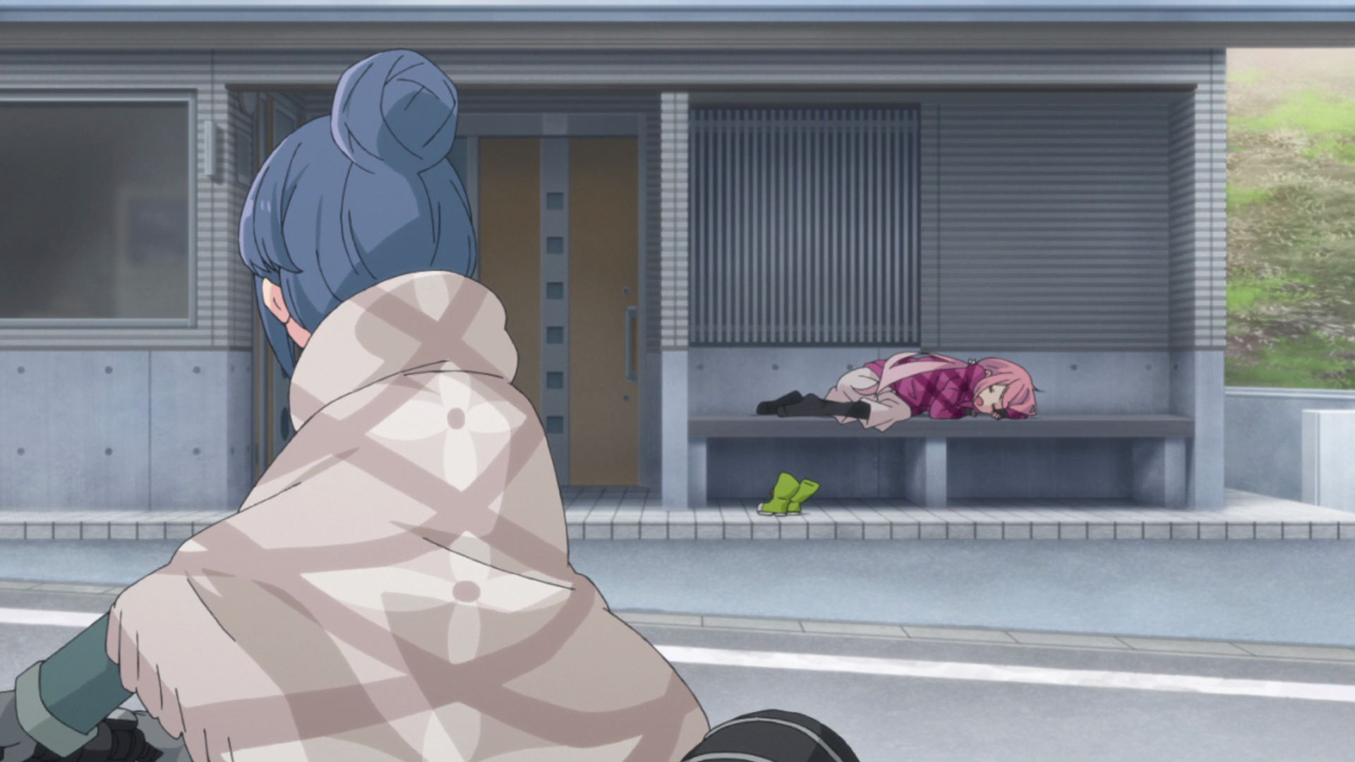
Sleeping Nadeshiko and Public Toilet
Rin first encounters Nadeshiko sleeping here, on a bench near the door of the public toilets.
View in OpenStreetMap View in Google Maps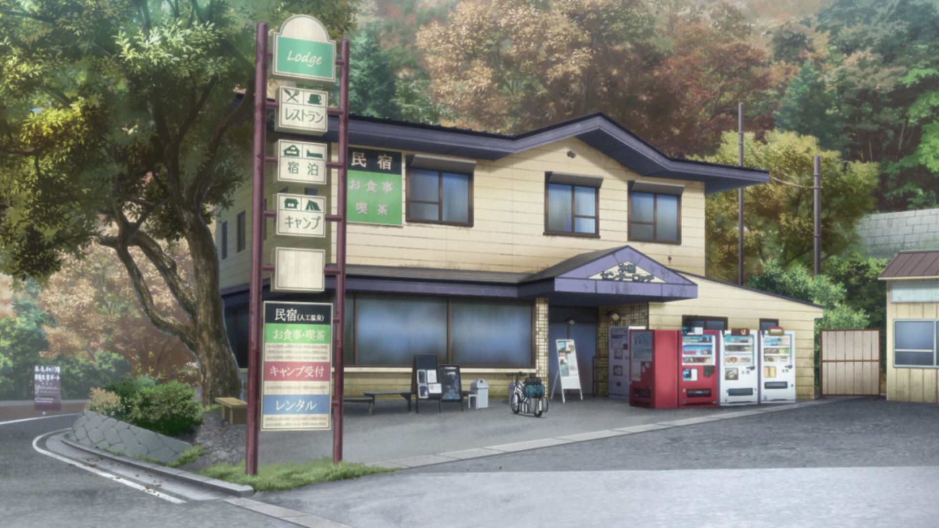
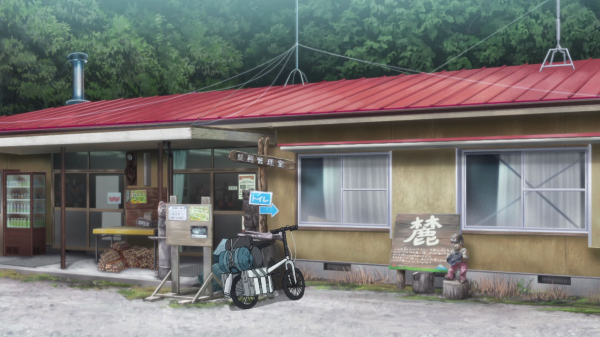
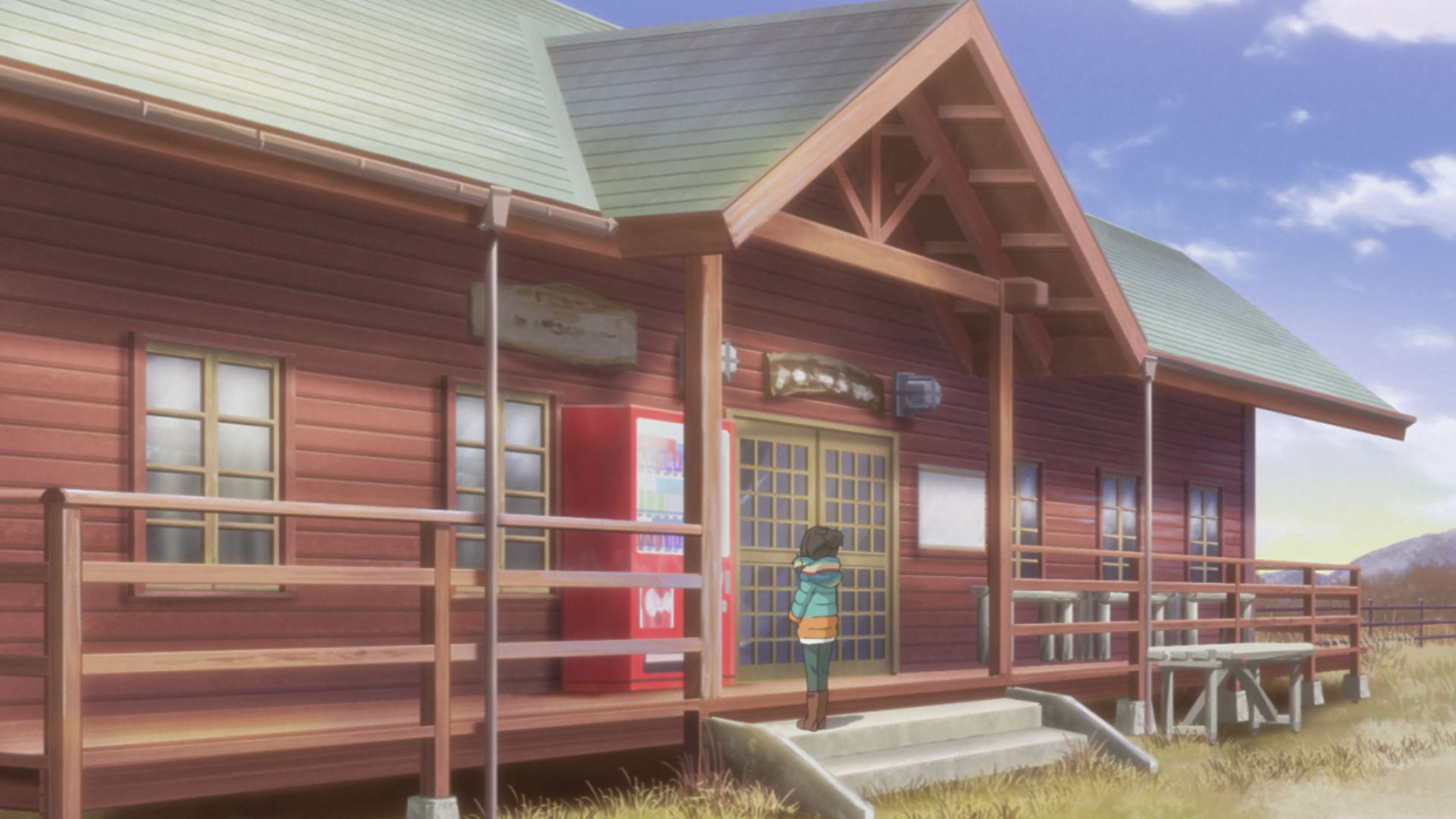
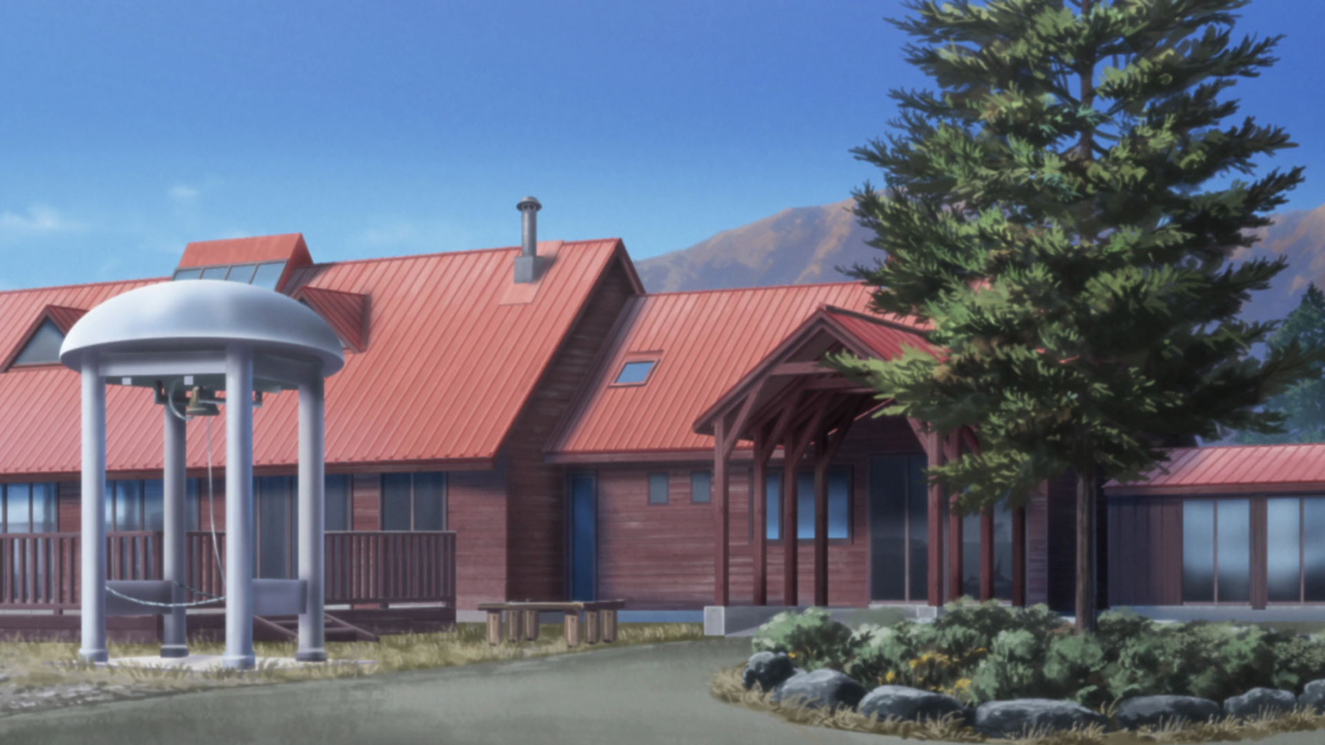
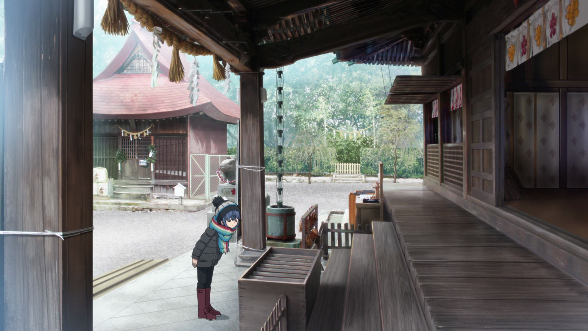
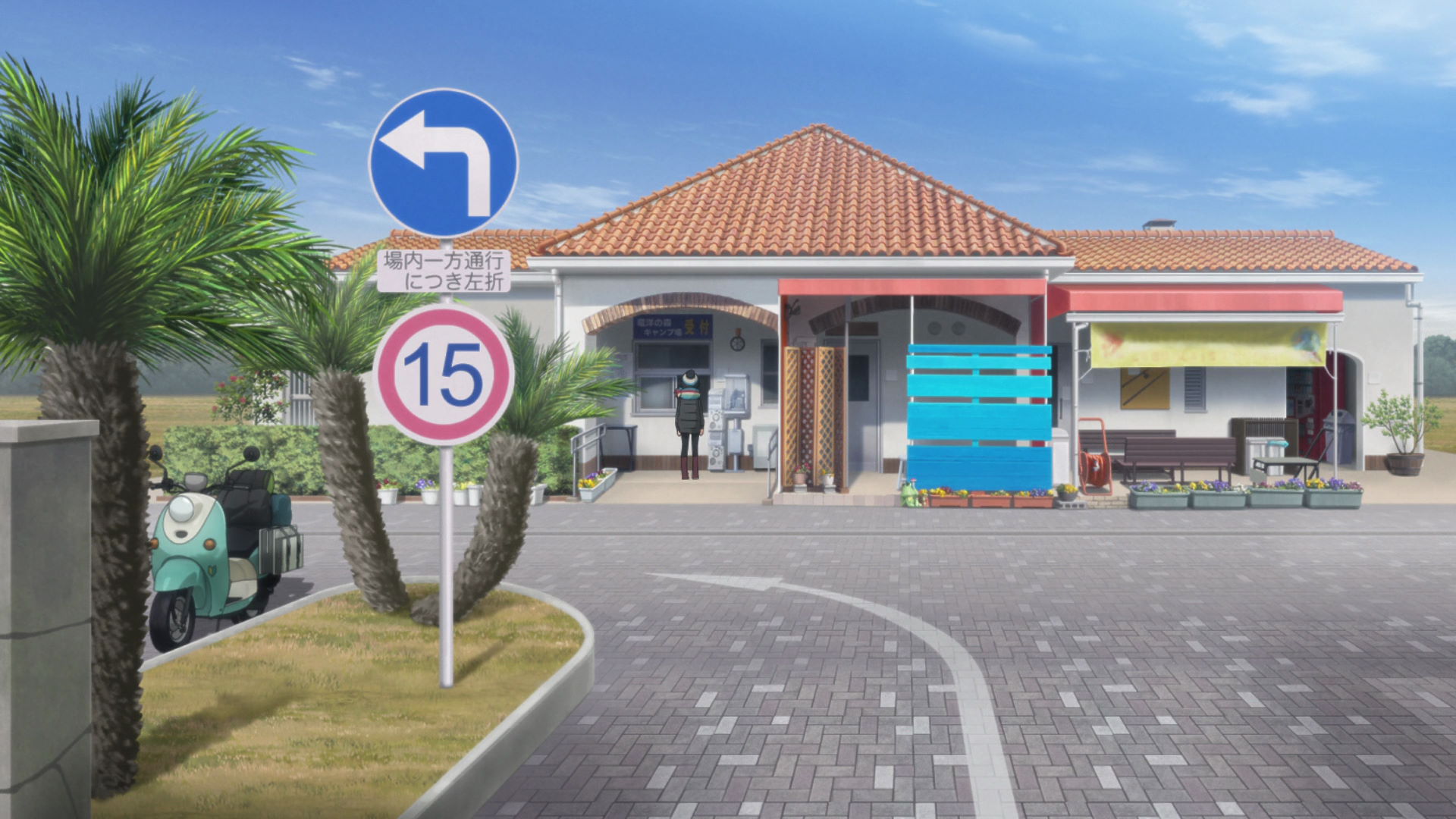
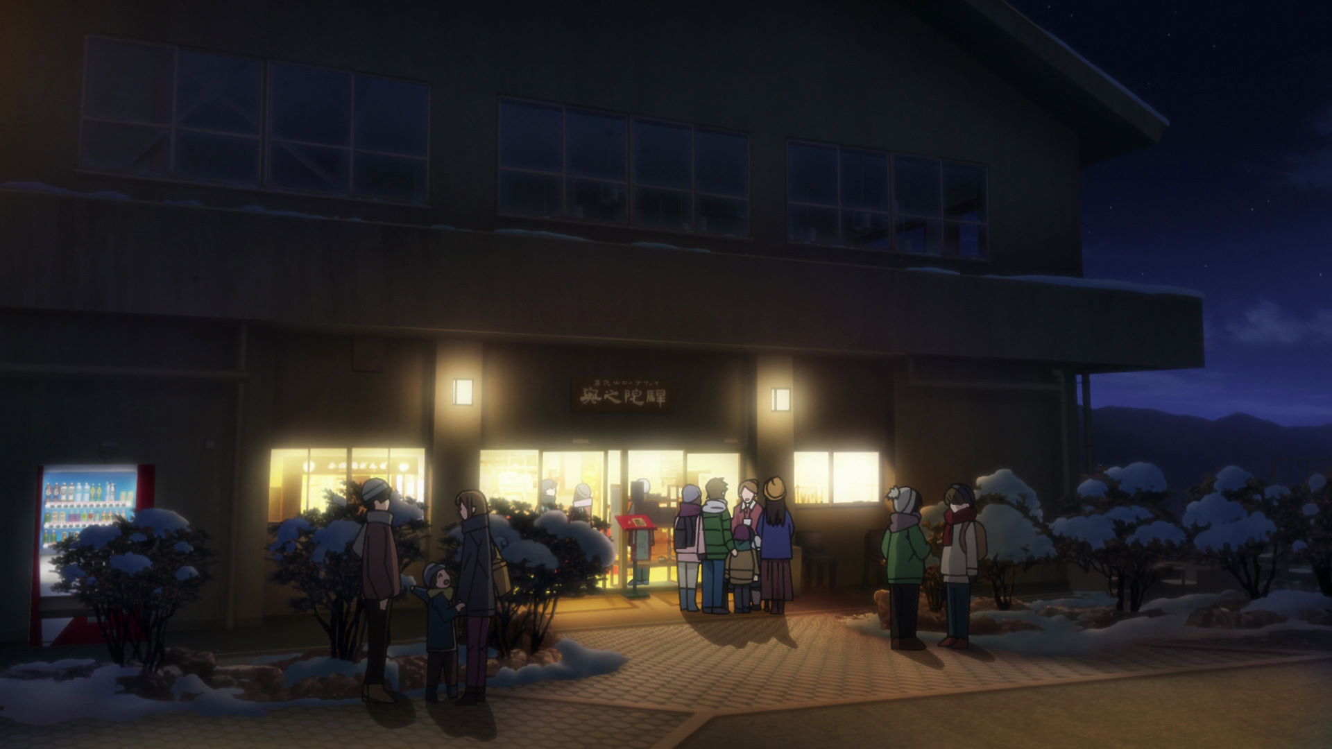
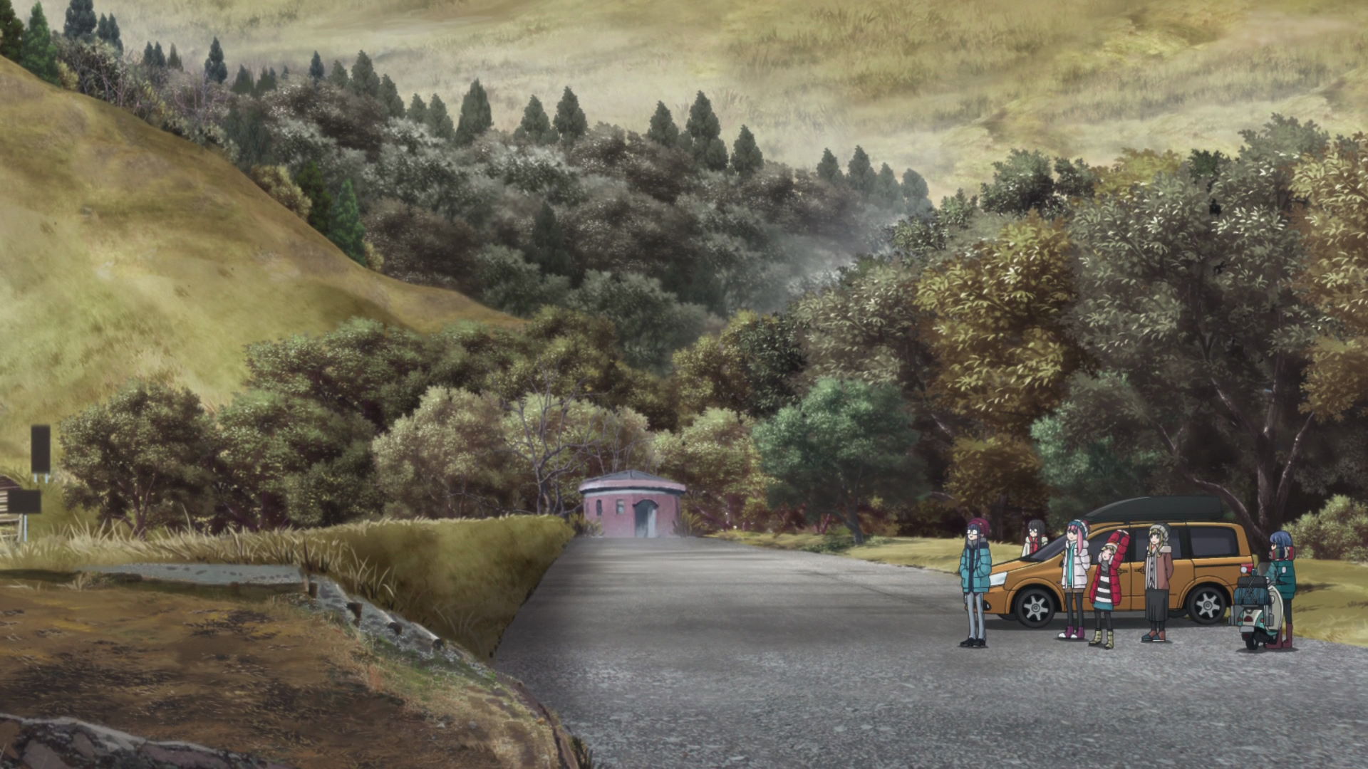
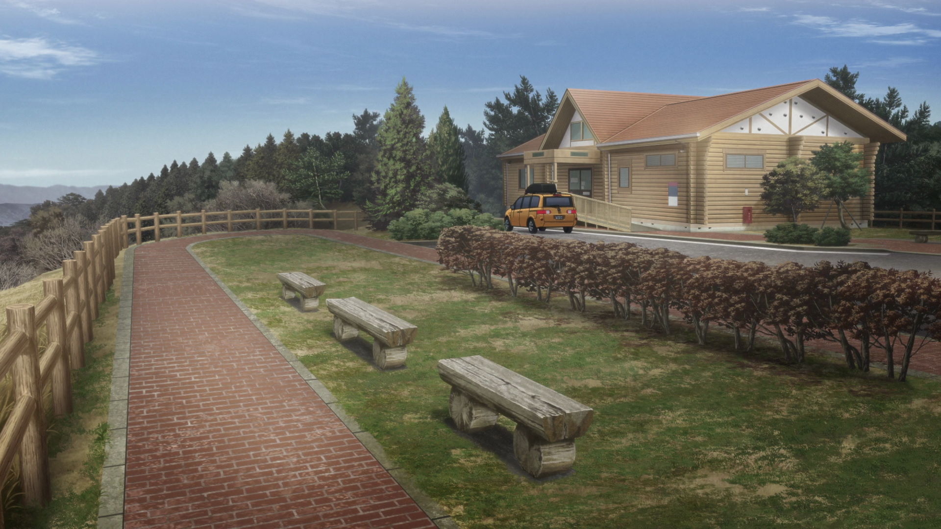
Lake Motosu Camp Check-in Building
This is where Rin checks in for the Lake Motosu Campsite.
Yuru Camp△ merchandise and promotion available here!
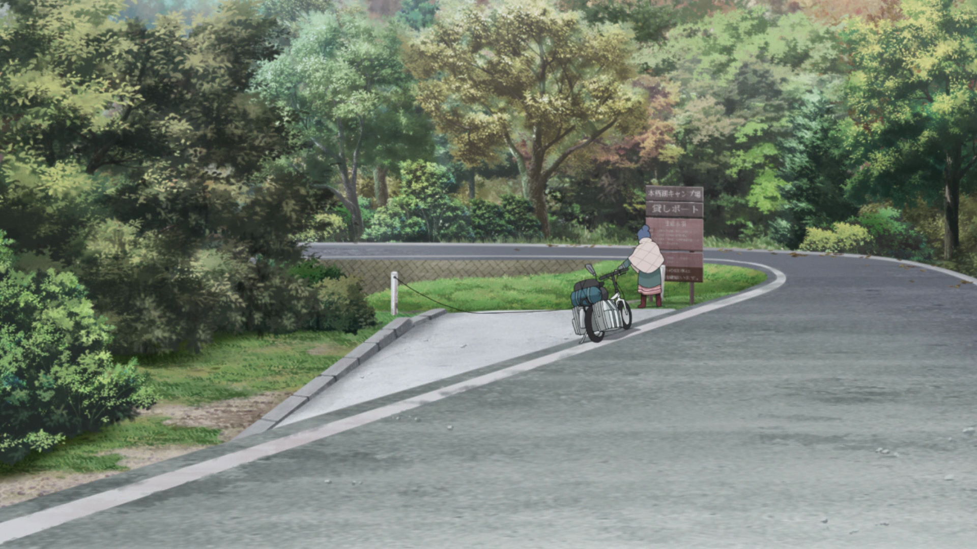
Path to Lake Motosu Campsite
Rin rides her bike down here to the lakeside. Nadeshiko also chases a scared Rin down the path later that night.
View in OpenStreetMap View in Google Maps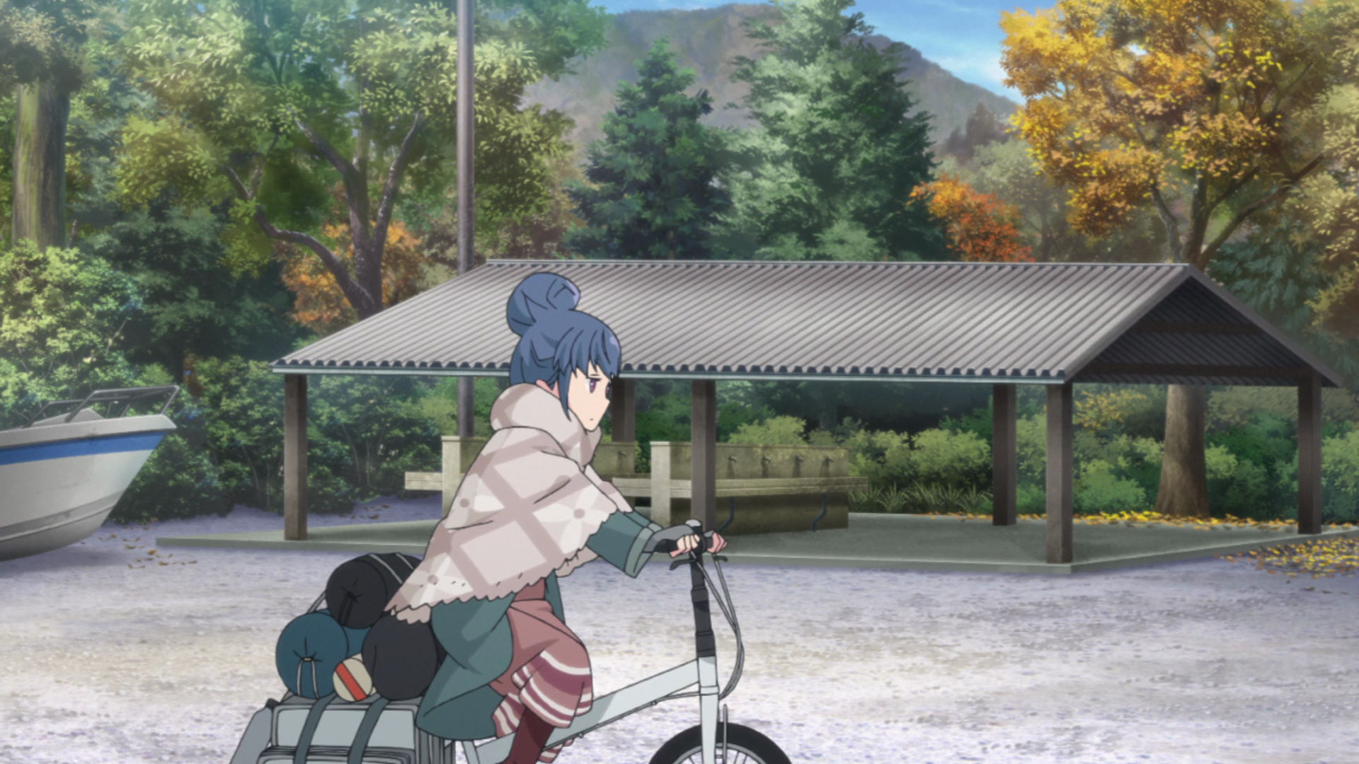
Lake Motosu Campground Washing Area
Rin cycles through this area as she heads to the lakeside.
View in OpenStreetMap View in Google Maps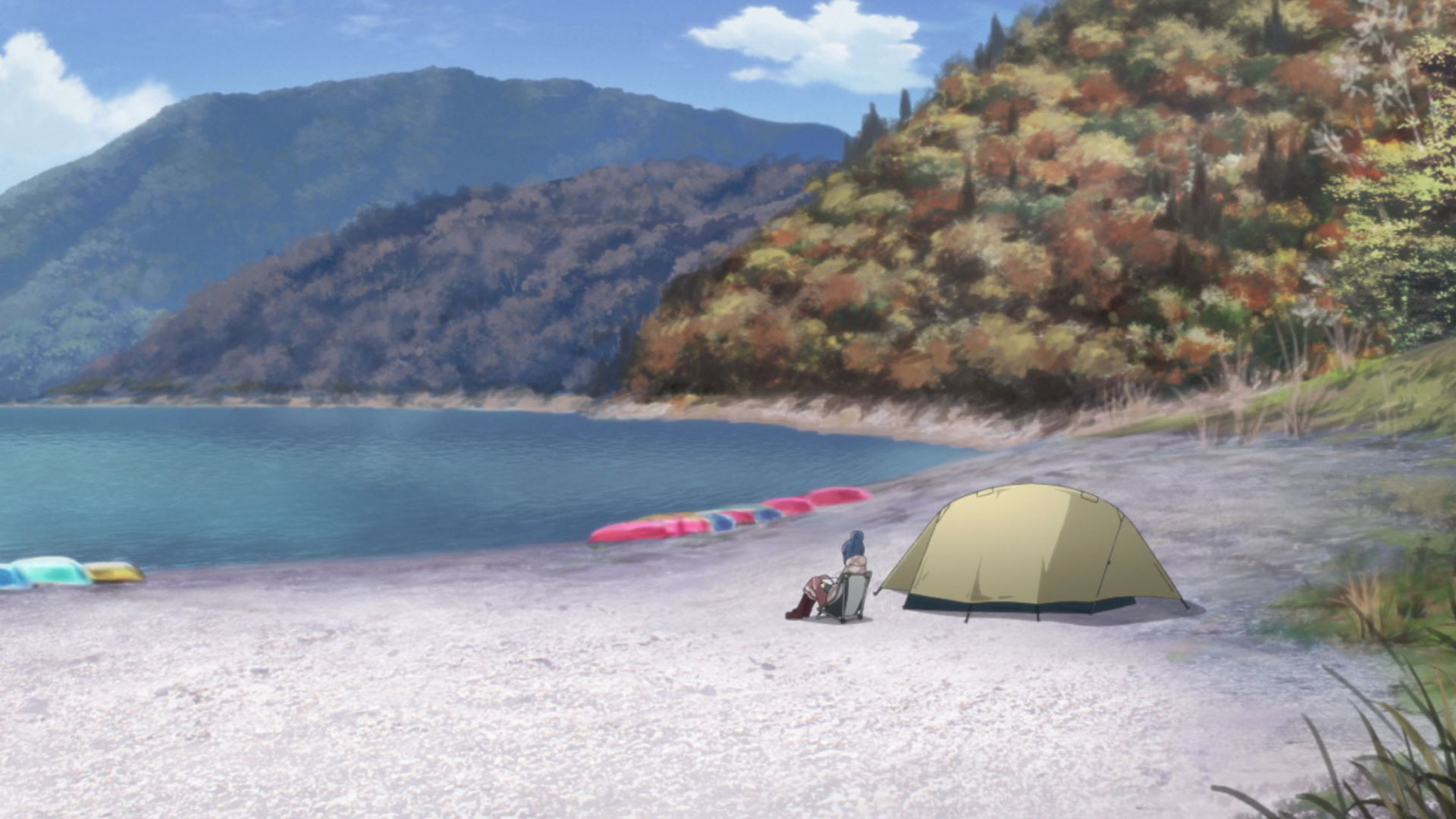
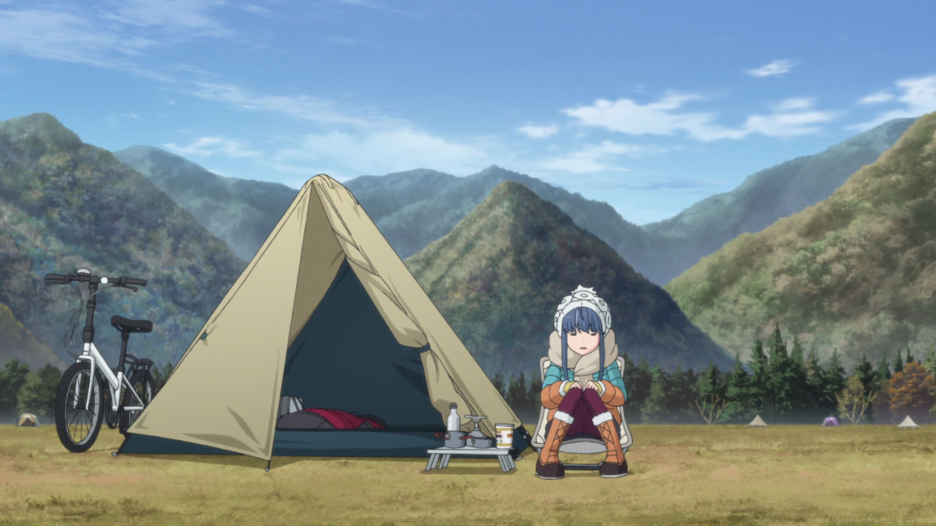
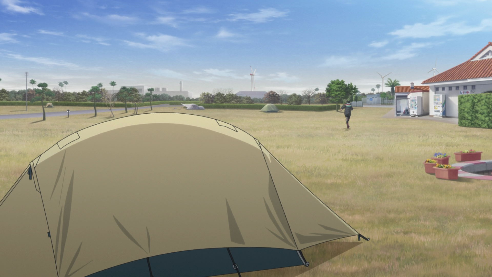
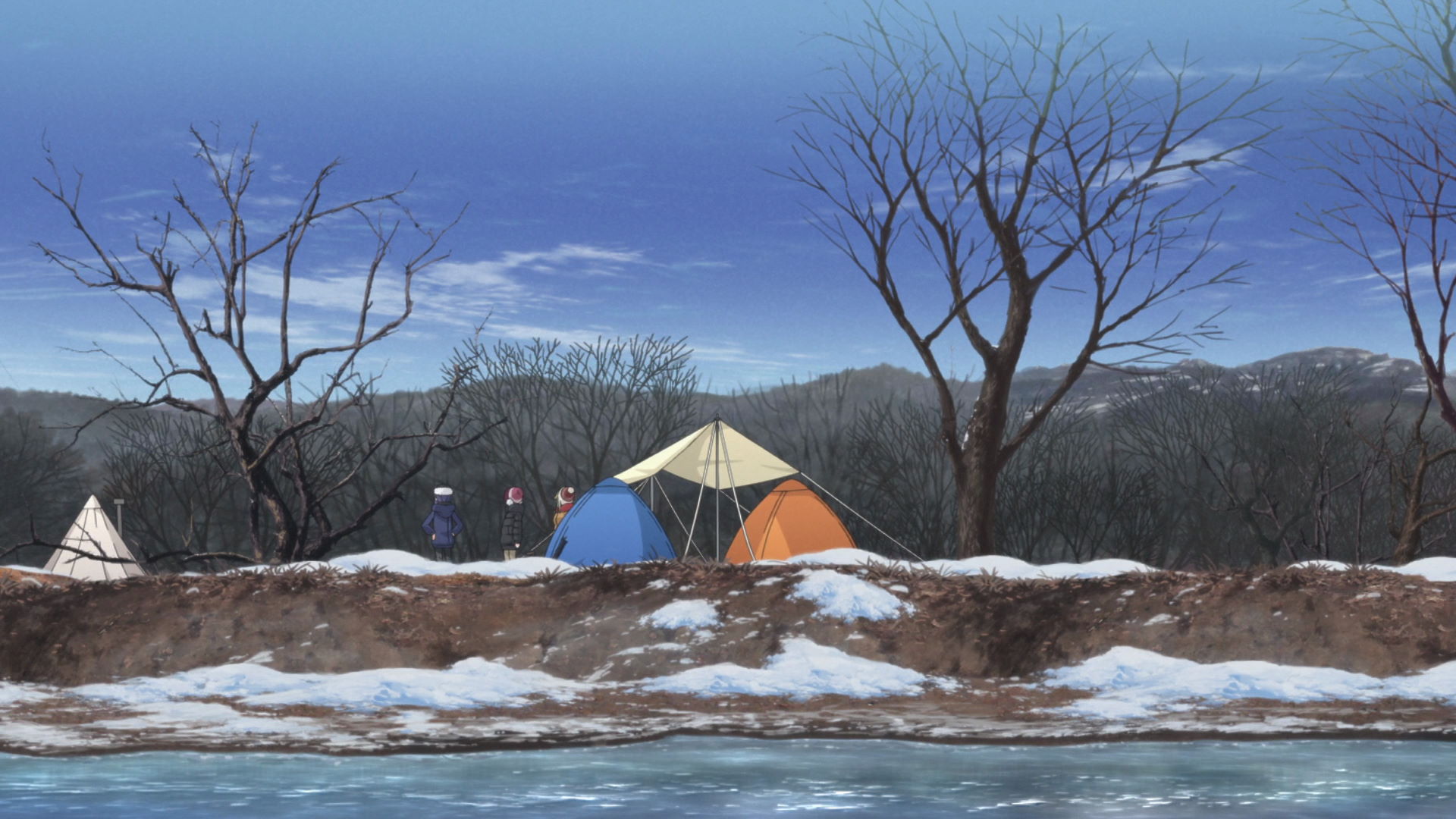
Rin Lake Motosu Tent Location
Rin pitches her tent here beside Lake Motosu.
View in OpenStreetMap View in Google Maps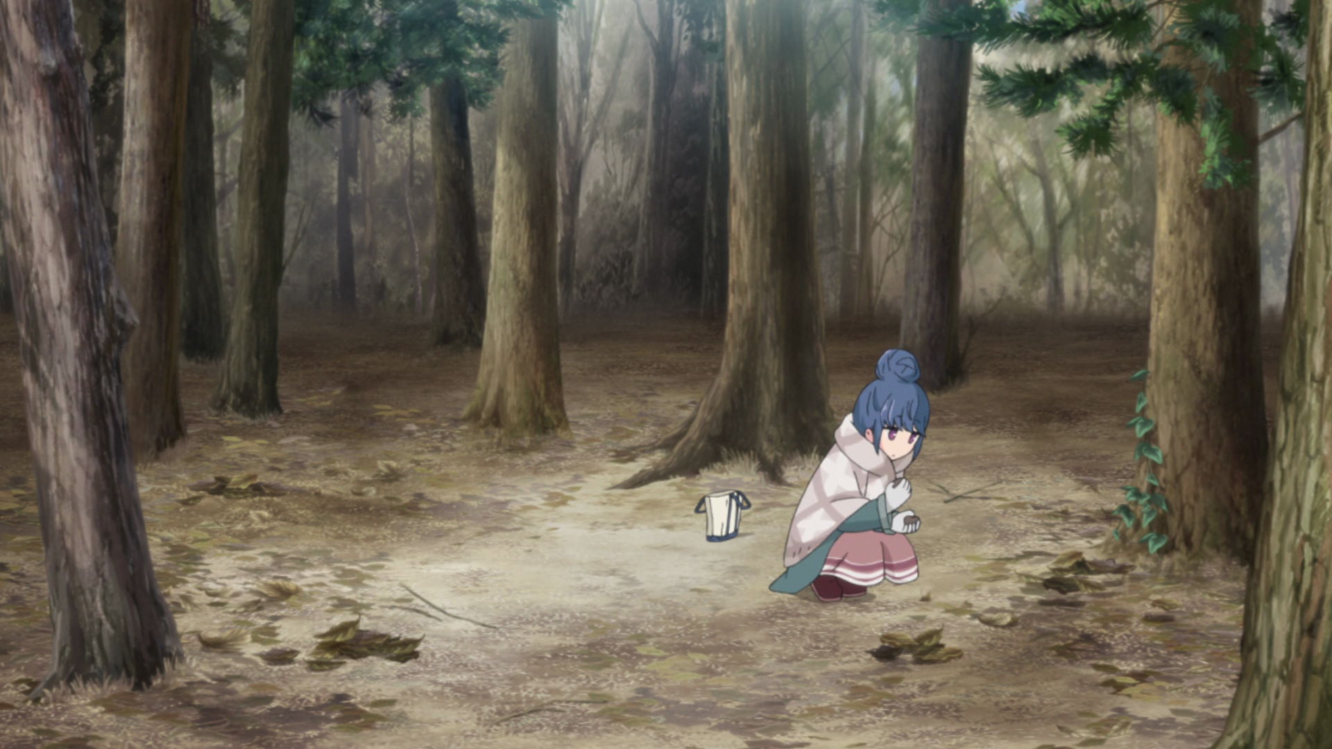
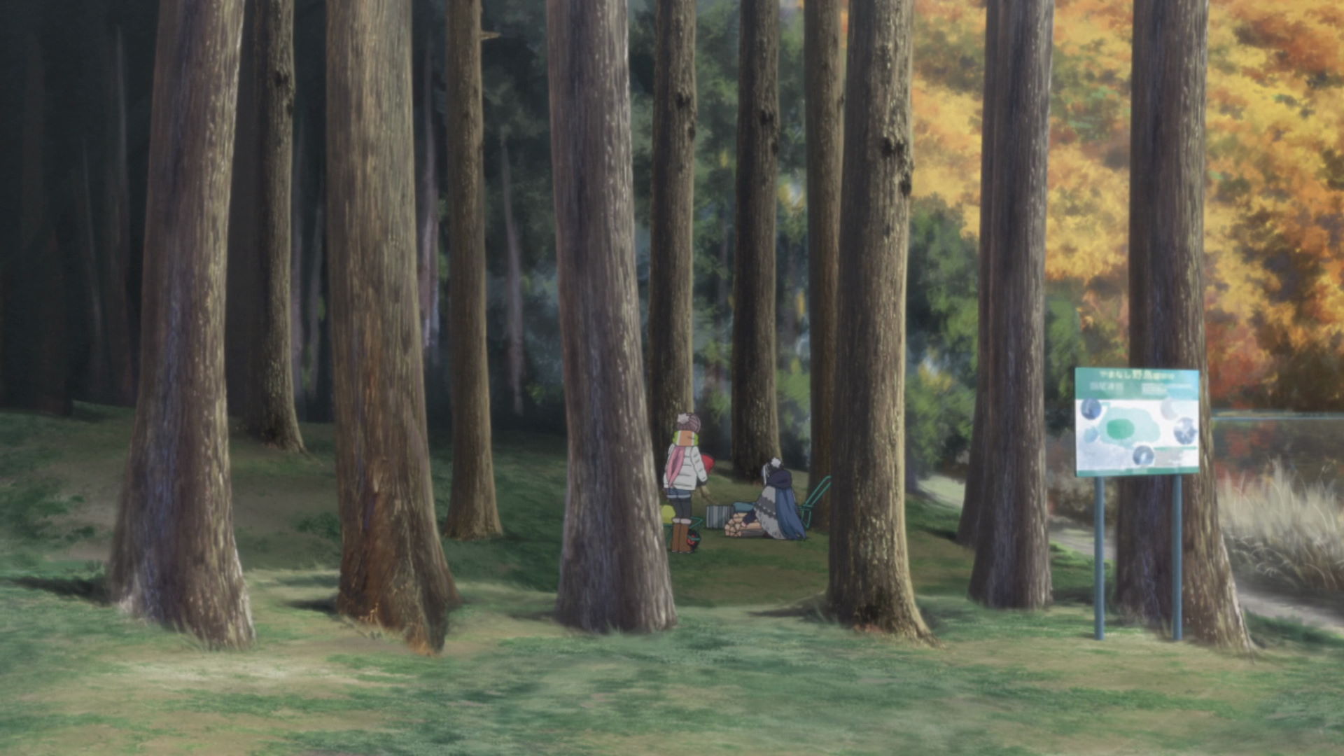
Rin Lake Motosu Firewood Location
Rin gathers pinecones and firewood in this forested area.
View in OpenStreetMap View in Google Maps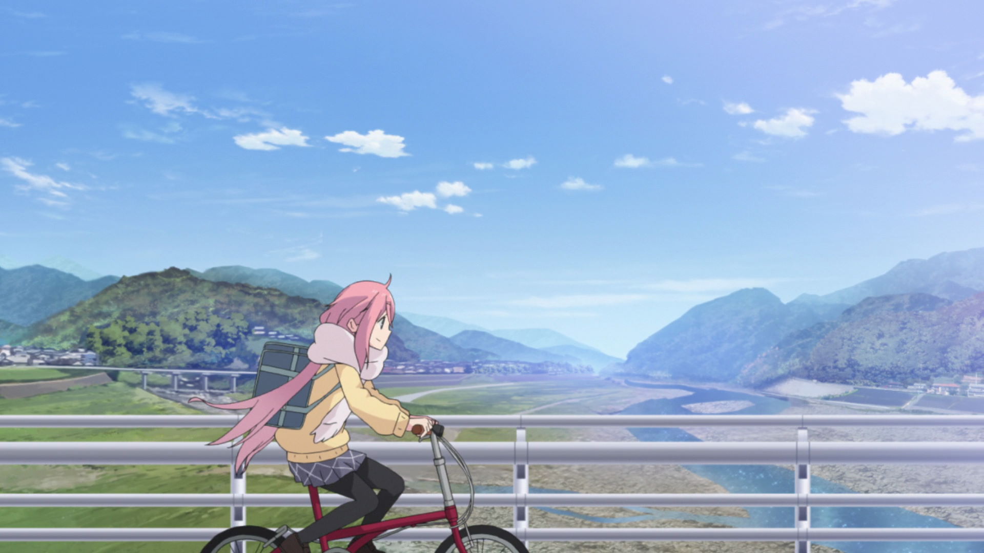
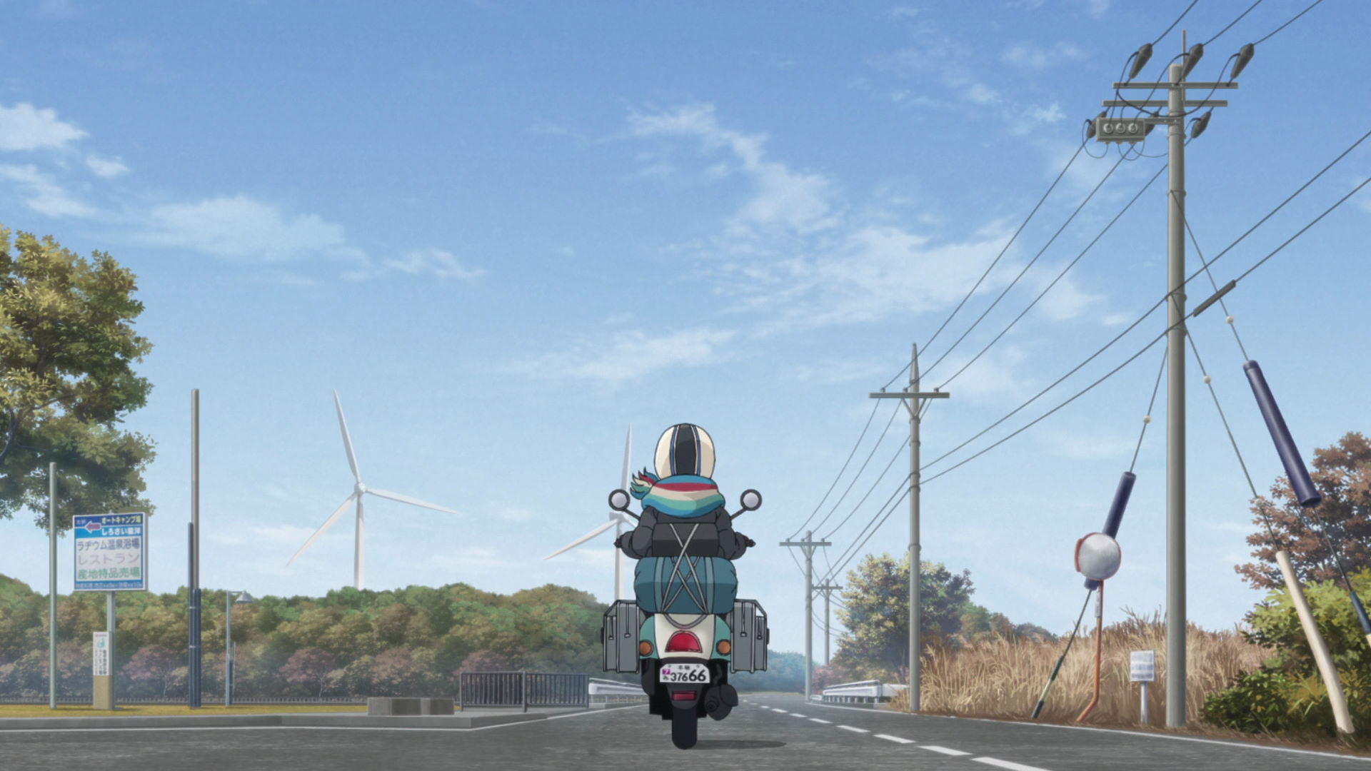
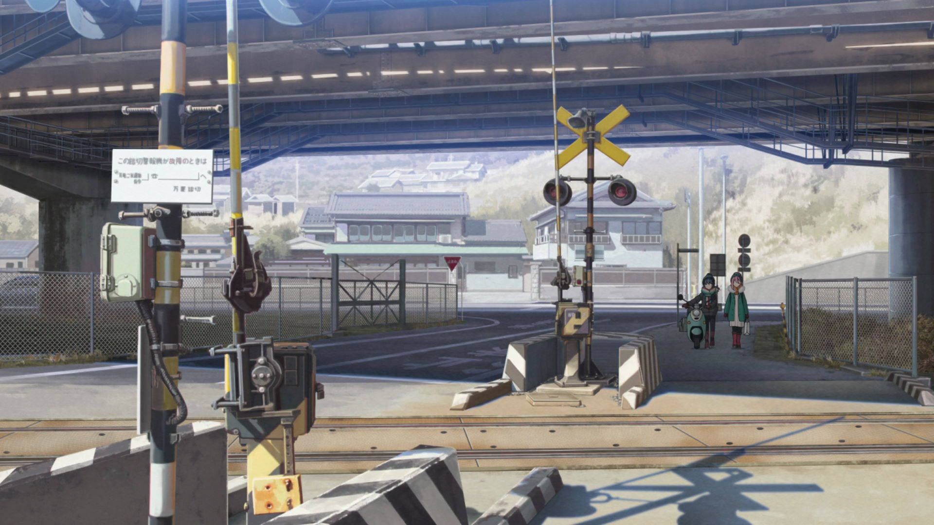
Utsubuna Station Line Bridge
Nadeshiko cycles through this bridge on the way to Utsubuna Station from her home
View in OpenStreetMap View in Google Maps
Old Building Shimobe ES & JHS (Motosu High School)
This is where the main protagonists go to school!
Yuru Camp△ promotion available here!
Welcome to the Outdoor Activities Club!
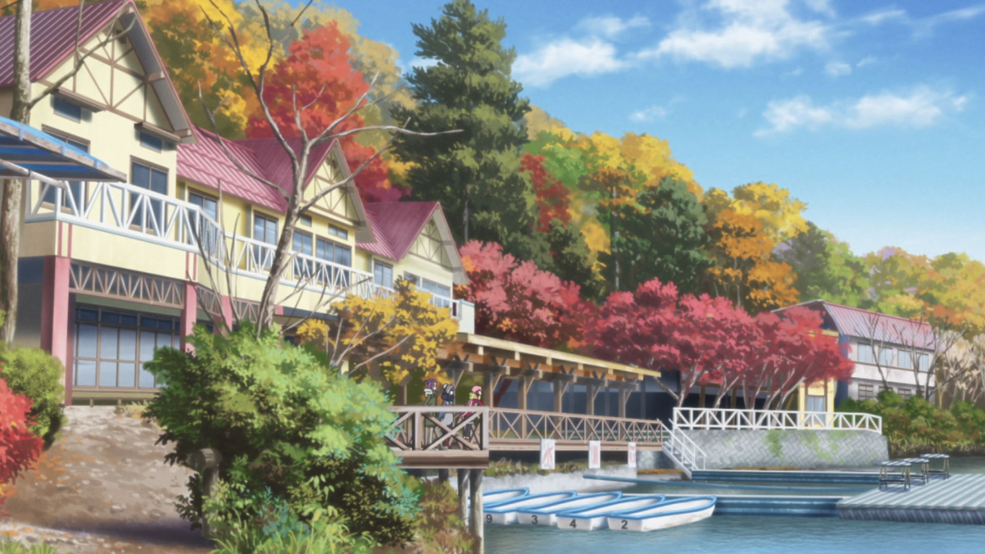
Fumotoppara Campground
Known as Fumoto Campgrounds in the anime, this is where Rin went solo camping during a cold, windy day. Nadeshiko catches up with her after learning from Ena that Rin was camping here.
Yuru Camp△ promotion available here!
Fumotoppara Campground Rin Tent Location
This is the spot where Rin set up camp at the Fumutoppara Campground.
View in OpenStreetMap View in Google Maps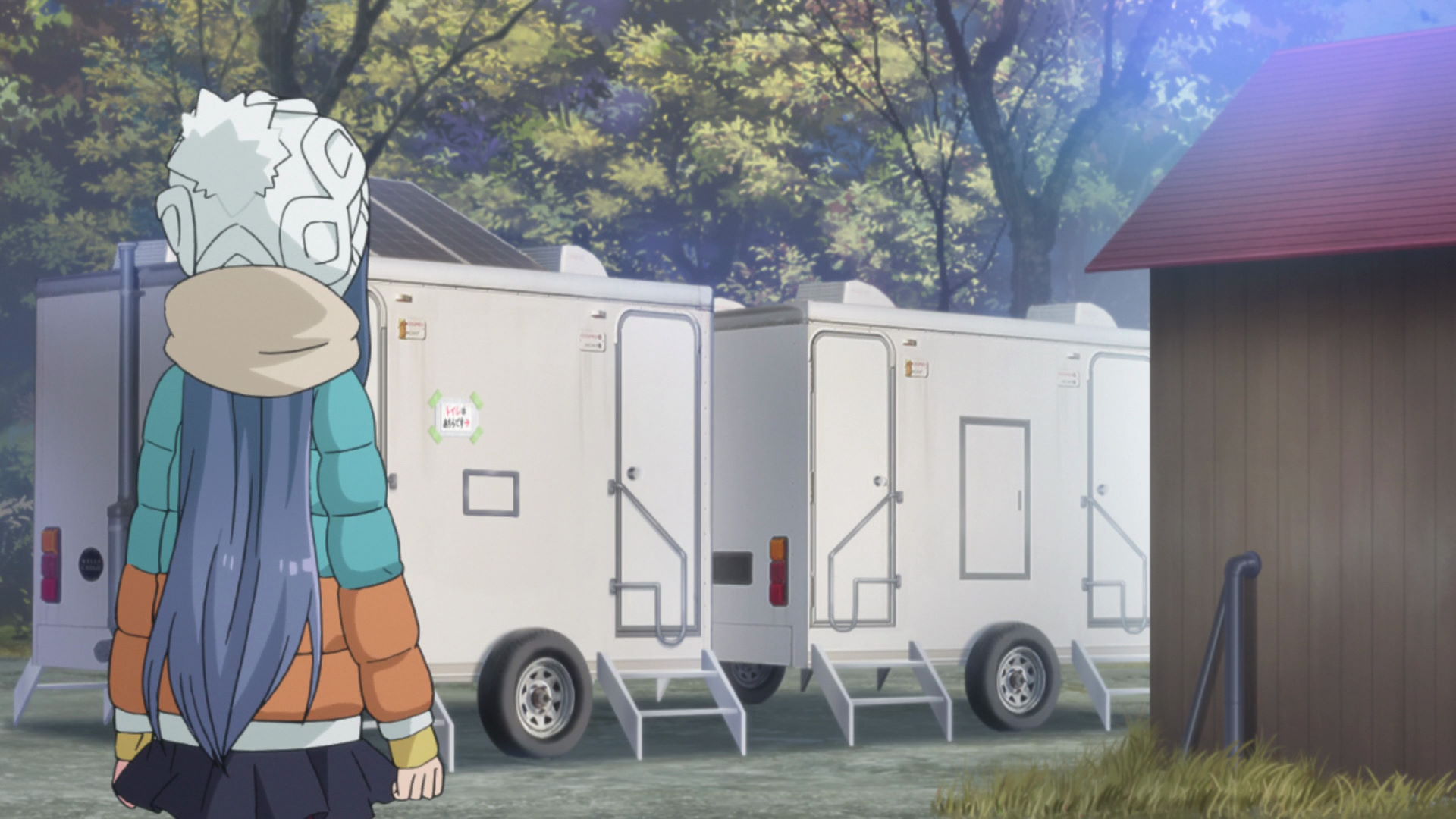
Fumotoppara Campground False Toilet Location
Rin thought that this was the toilet of the campgrounds.
View in OpenStreetMap View in Google Maps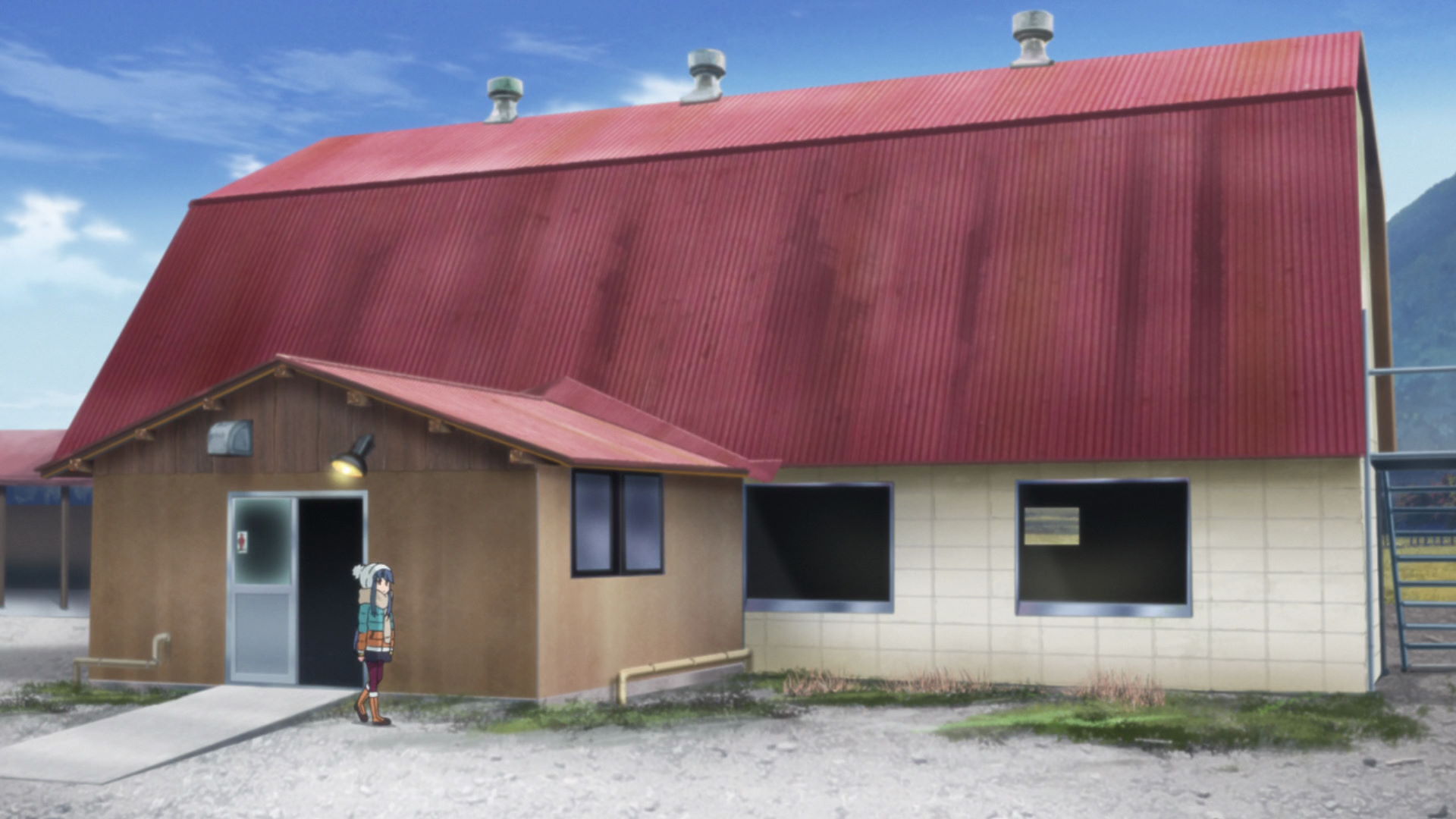
Fumotoppara Campground Real Toilet Location
This is where the real toilet is after Rin misttok the previous location for the toilets.
View in OpenStreetMap View in Google Maps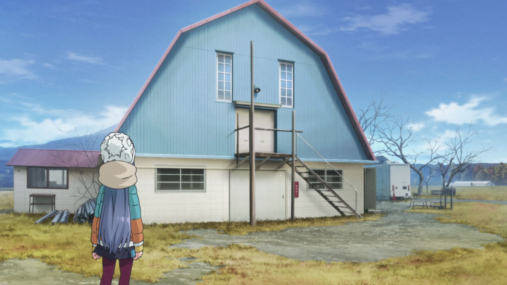
Fumotoppara Campground Face-like Building
Rin takes a photo of this building while strolling at the campgrounds.
View in OpenStreetMap View in Google Maps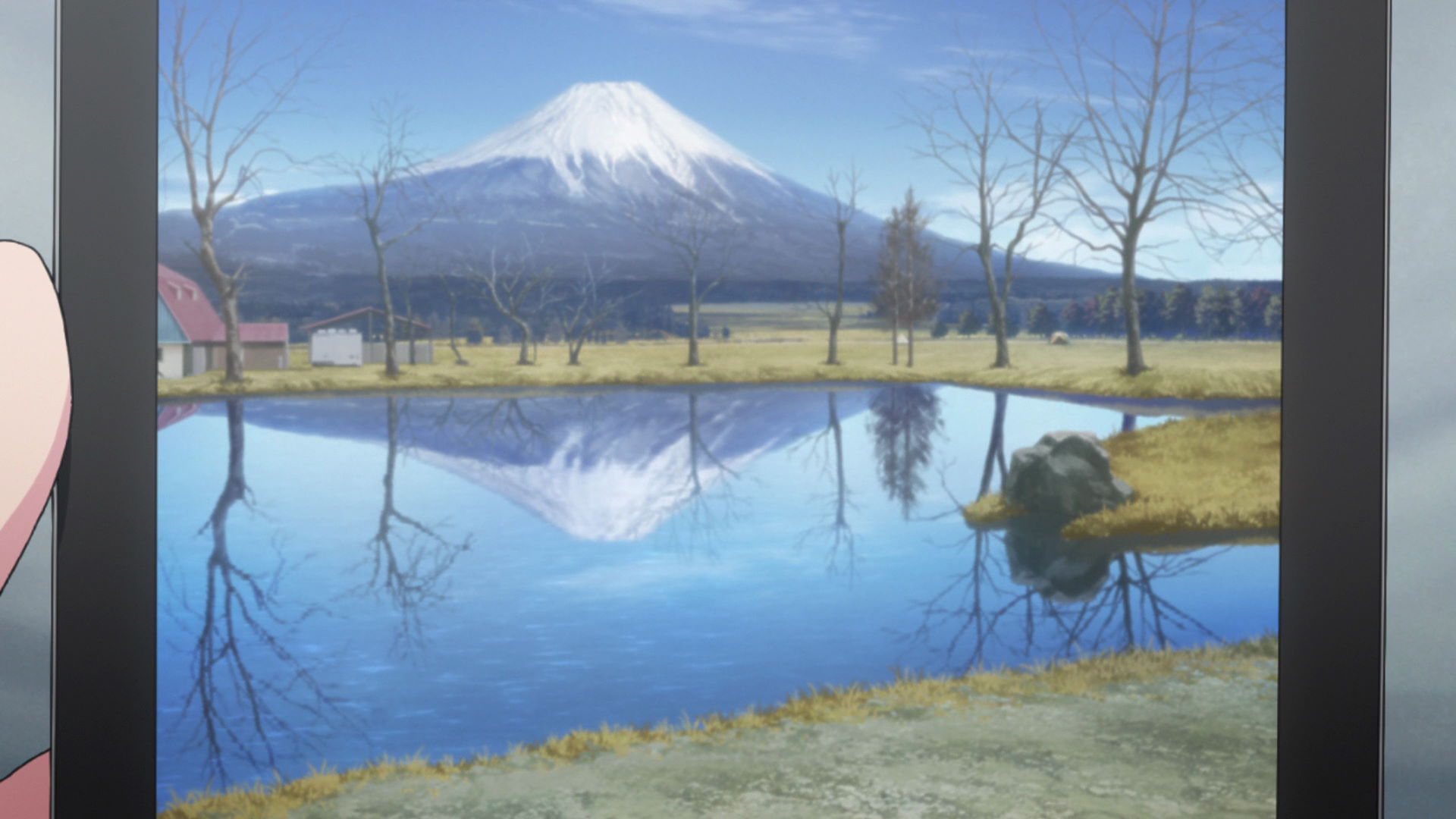
Upside-down Mt. Fuji
Rin took a photo of Mt. Fuji with it's upside-down reflection using the surface of the pond.
View in OpenStreetMap View in Google MapsMount Fuji and Relaxed Hot Pot Camp
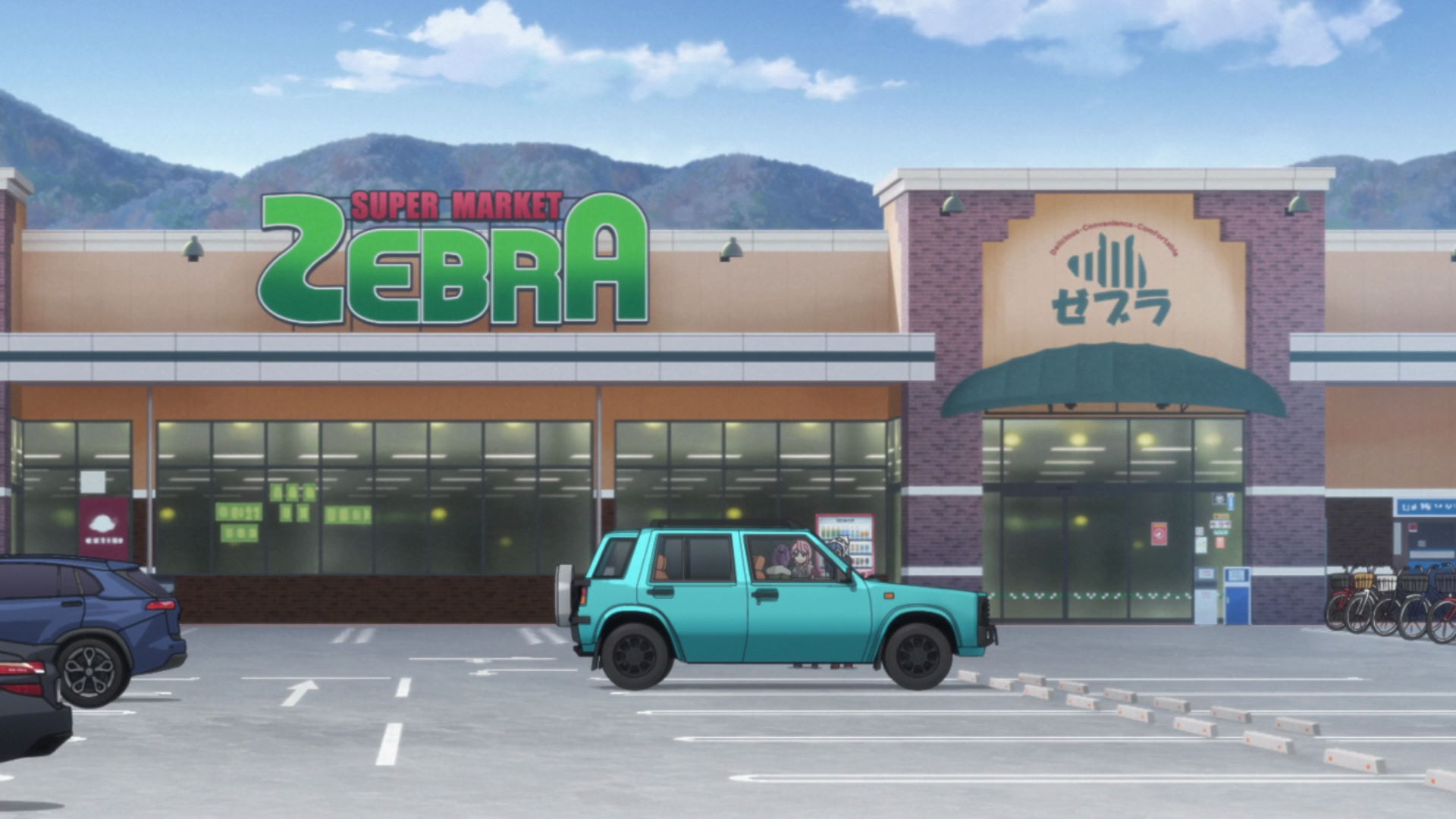
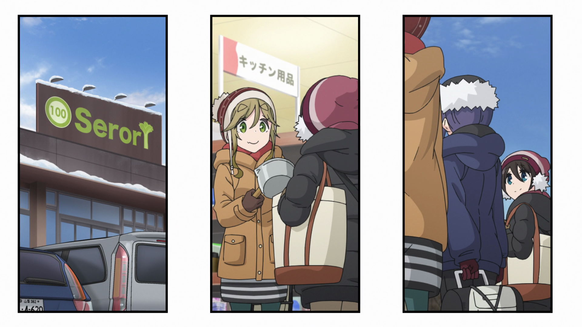
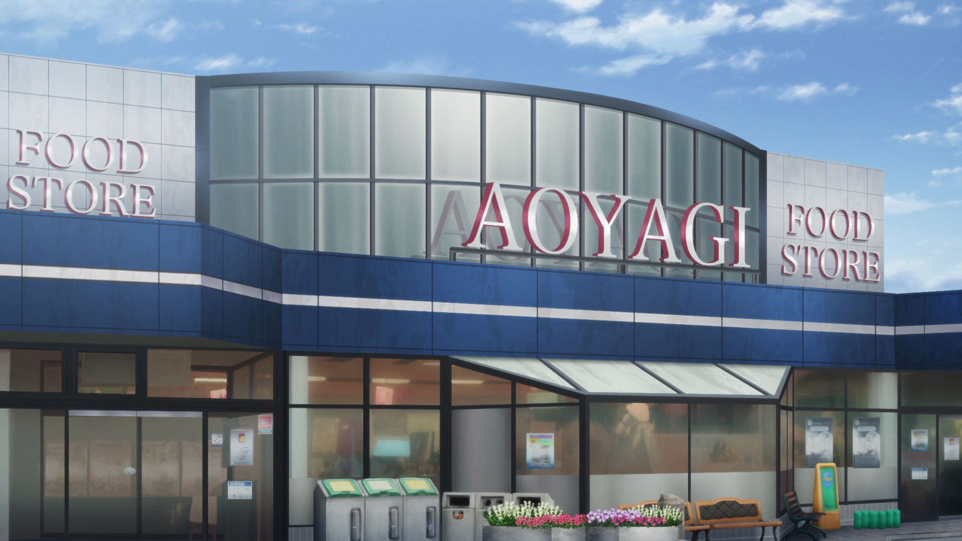
Selva Food Market
Known as Zebra Supermarket in the series, this supermarket is the basis of the supermarket where Aoi works part-time.
Yuru Camp△ promotion available here!
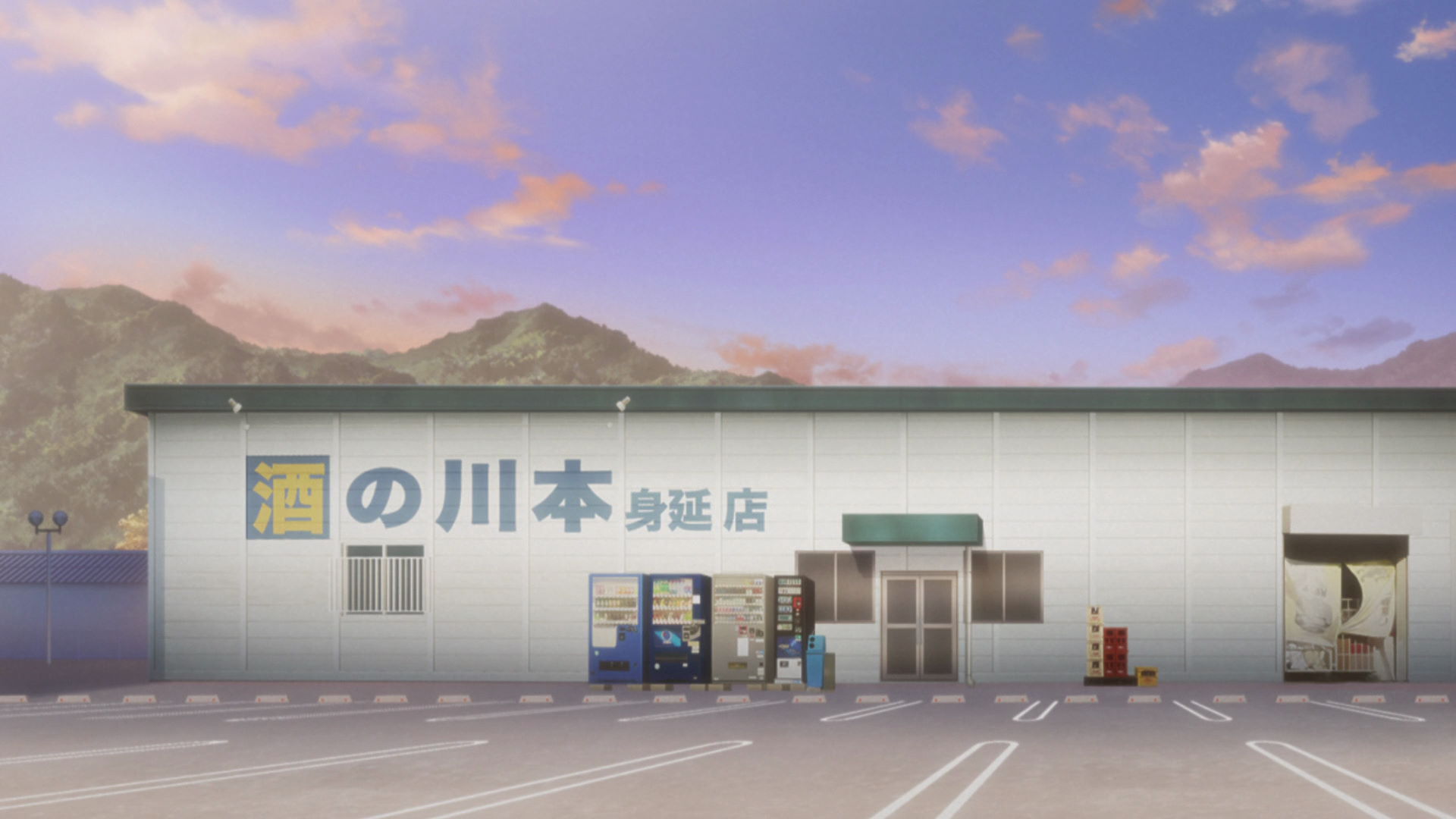
Kawamoto Liquors
This building is the basis of the liquor shop where Chiaki works part-time. It was painted with the name of the building in the anime for promotion but it does not actually sell liquor.
View in OpenStreetMap View in Google MapsThe Outdoor Activities Club and the Solo Camping Girl

Yamanashi City Station
This is where Nadeshiko, Aoi, and Chiaki meet for the first camping trip of the Outdoor Activities Club.
Nadeshiko was late.
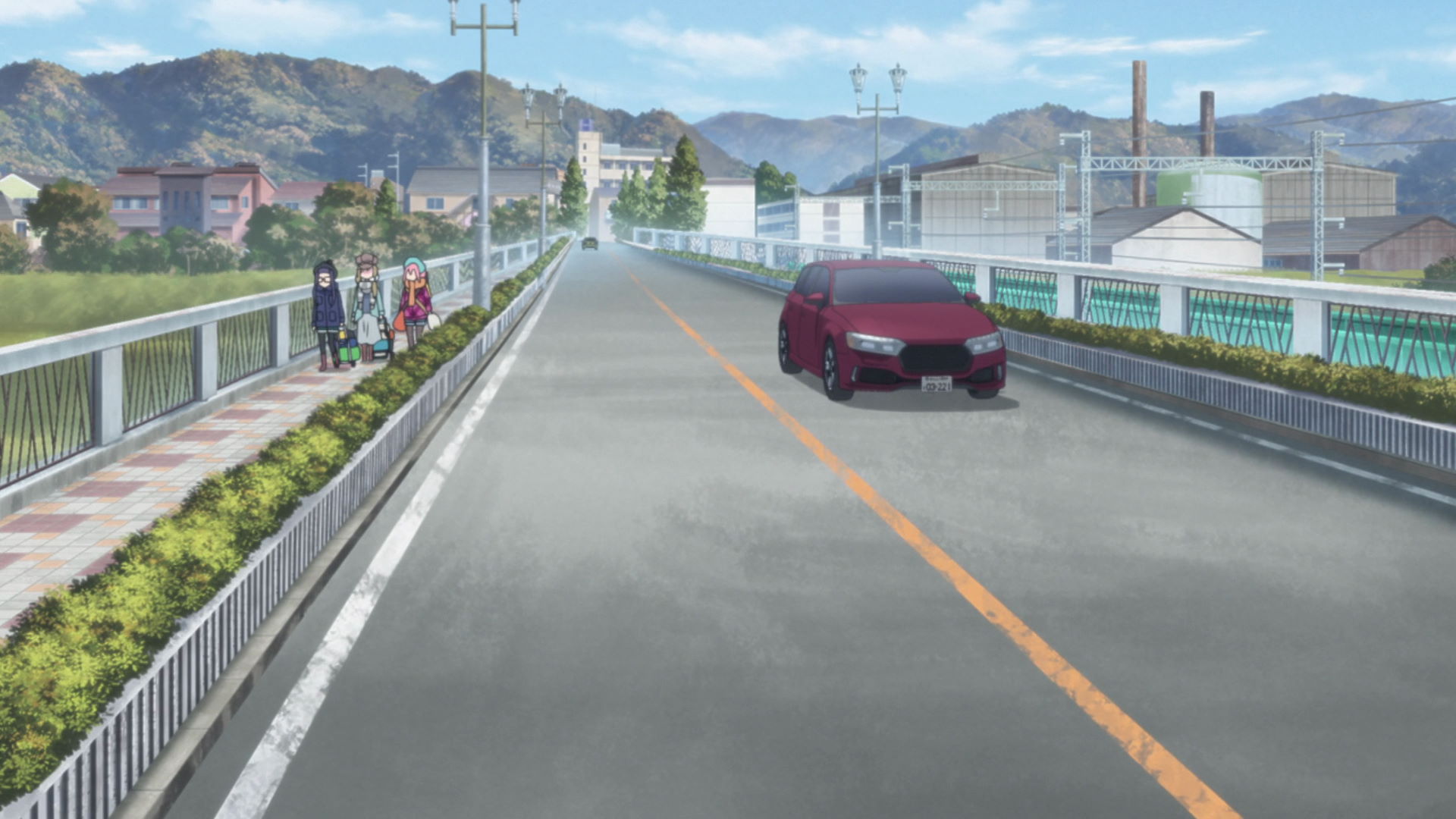
Bridge to Fuefukigawa Fruit Park
Nadeshiko, Aoi, and Chiaki walked down this bridge on the way to Fuefukigawa Fruit Park. Chiaki tries to hitch a ride at the intersection East of the river as the long walk starts to tire her out.
View in OpenStreetMap View in Google Maps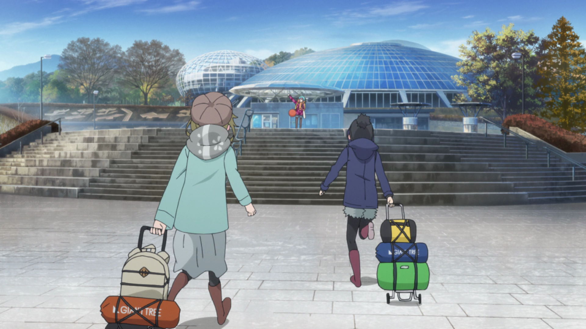
Fuefukigawa Fruit Park
Known as Fuefuki Park in the series, this park is the destination of Nadeshiko, Aoi, and Chiaki who walked from Yamanashi City Station not knowing there is a bus that goes to the park from the station.
Official Site (JP) View in OpenStreetMap View in Google Maps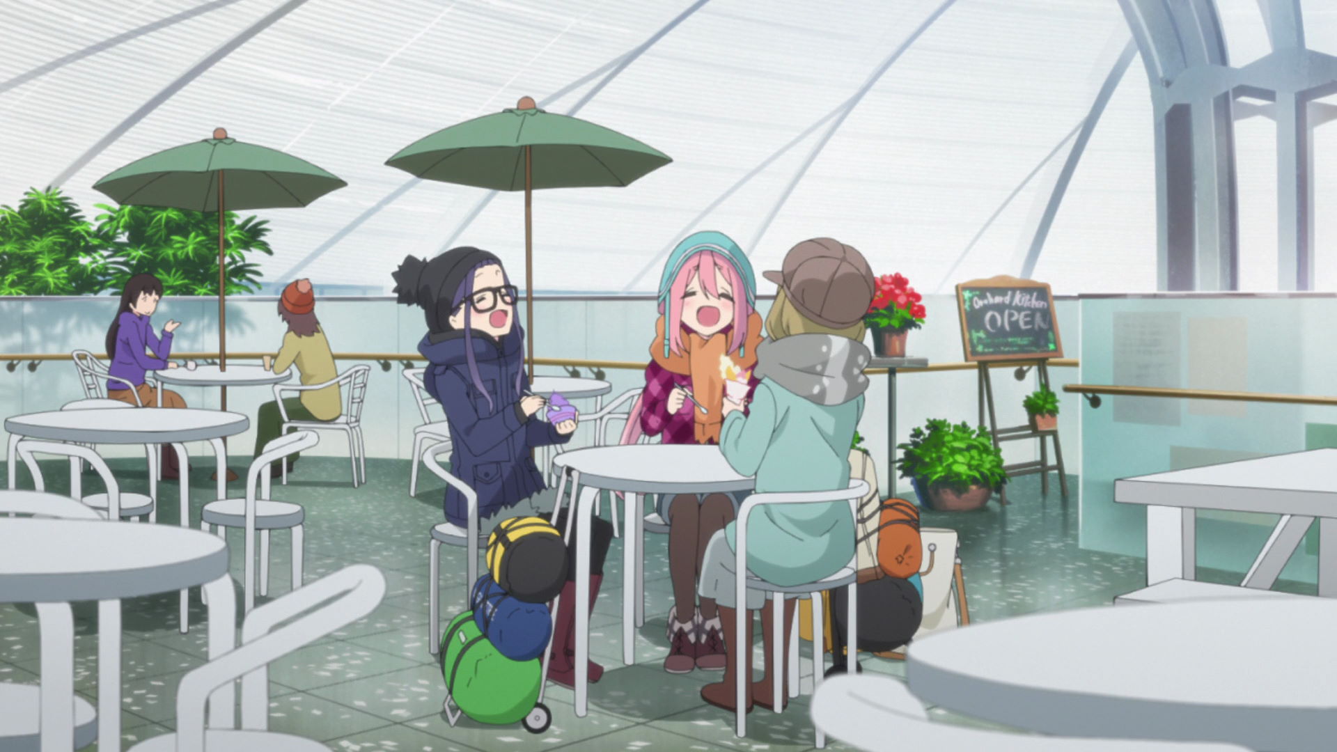
Vineyard kofu Park cafe
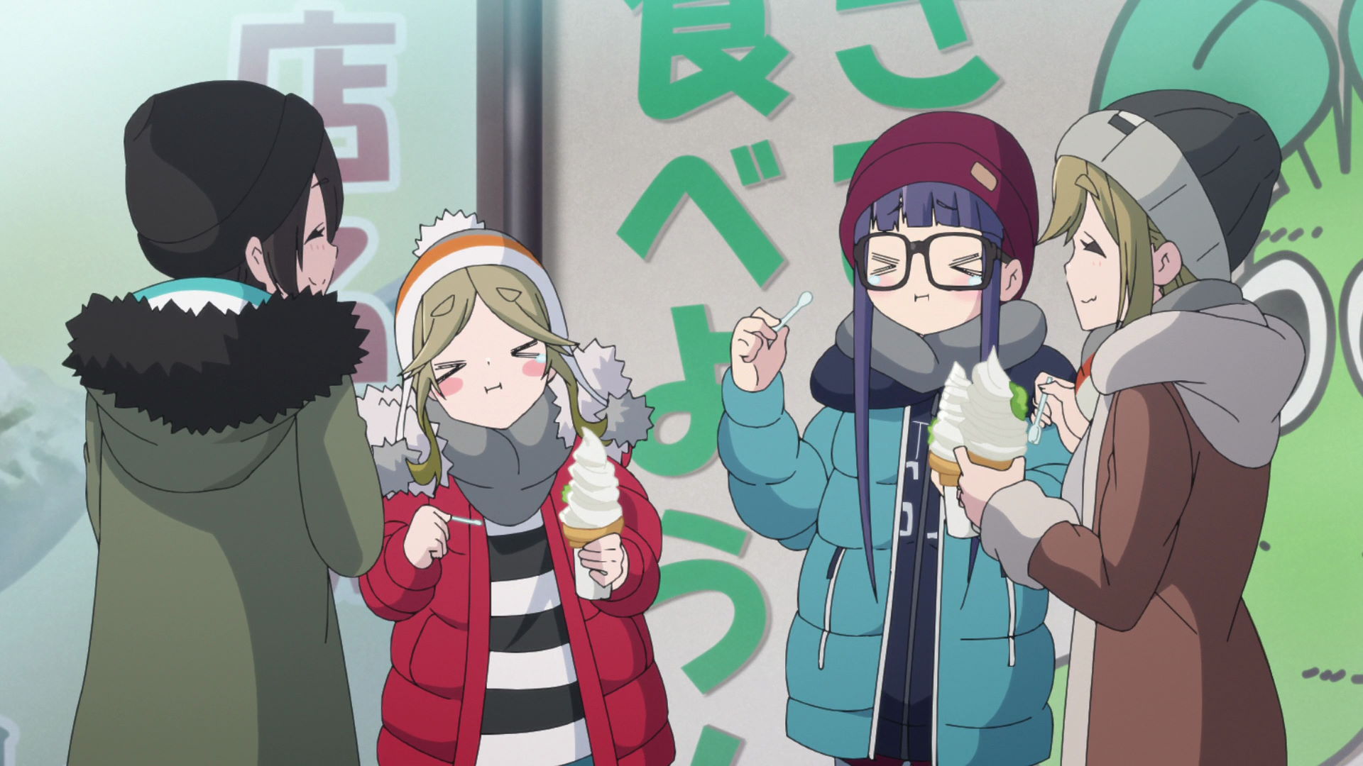
Known as Orchard Kitchen in the series, this is the cafe where Nadeshiko bought vanilla ice cream, Aoi bought a parfait, and Chiaki bought a violet sundae (possibly blueberry).
Yuru Camp△ merchandise and promotion available here!
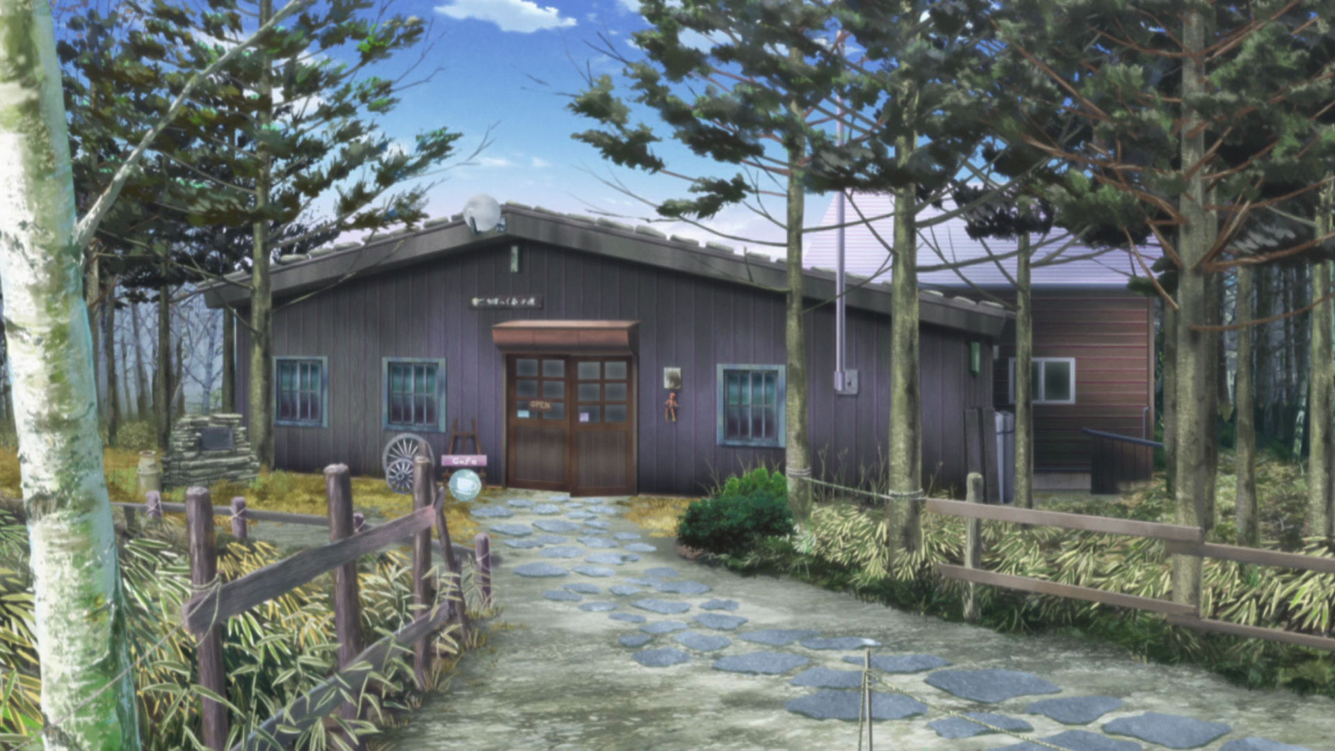
Korobokkuru Hutte
This is where Rin took a break in her journey and whaled on a Borscht Set with a Caramel Macchiato.
Yuru Camp△ merchandise and promotion available here!
Hottarakashi Onsen
This is the onsen where Nadeshiko, Aoi, and Chiaki visited. They overslept in the resting area after a bath so watch out since it can happen to you too!
Official Site (JP) View in OpenStreetMap View in Google Maps
Kirigamine Camera
This is where the actual live camera for the road on Mt. Kirigamine is located. Rin waved here to show Nadeshiko, Aoi, and Chiaki where she was.
Official Site (JP) View in OpenStreetMap View in Google MapsTwo Camps, Two Campers' Views
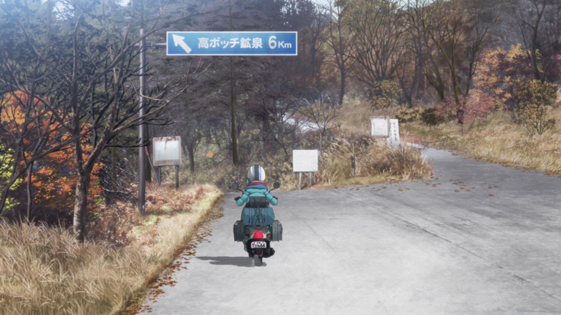
Road to the Abandoned Onsen
This is where Rin's doomed journey to the abandoned onsen starts.
View in OpenStreetMap View in Google Maps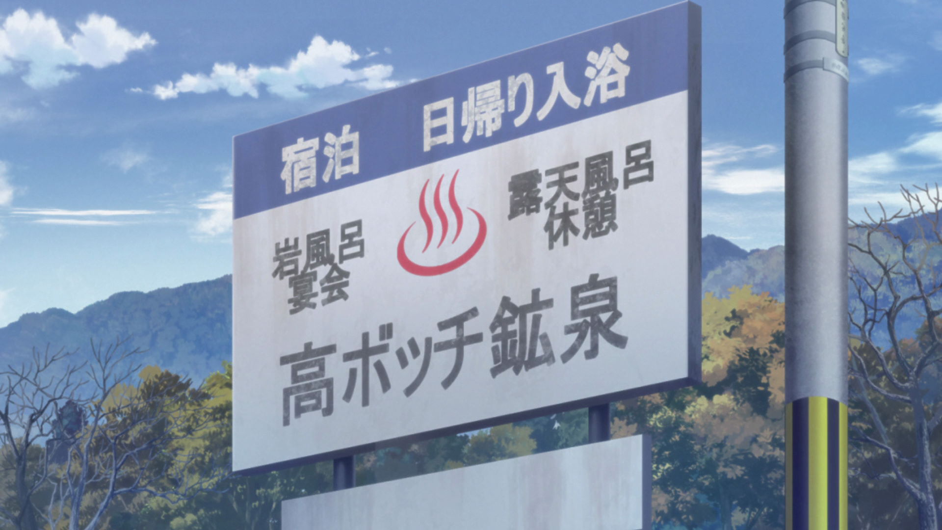
Onsen Sign
This is the sign that marks the entrance to the abandoned onsen.
View in OpenStreetMap View in Google Maps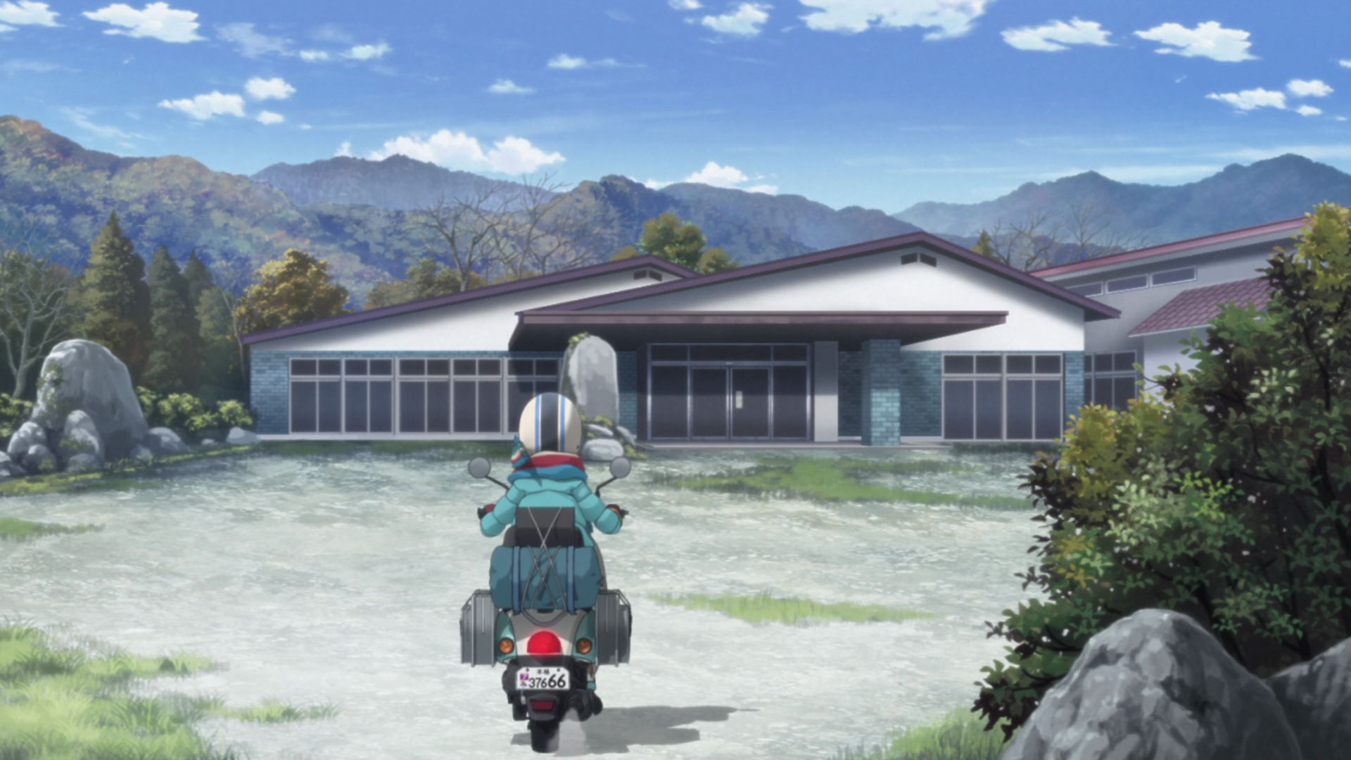
Unnamed Onsen
Known as the Takabotchi Mineral Spings in the series, this onsen is still standing and based on satellite maps, there are few cars parked in this place. It either means the cars are abandoned in an abandoned onsen, or they are customers and that the onsen is still in operation.
The operational status of this onsen is unknown.
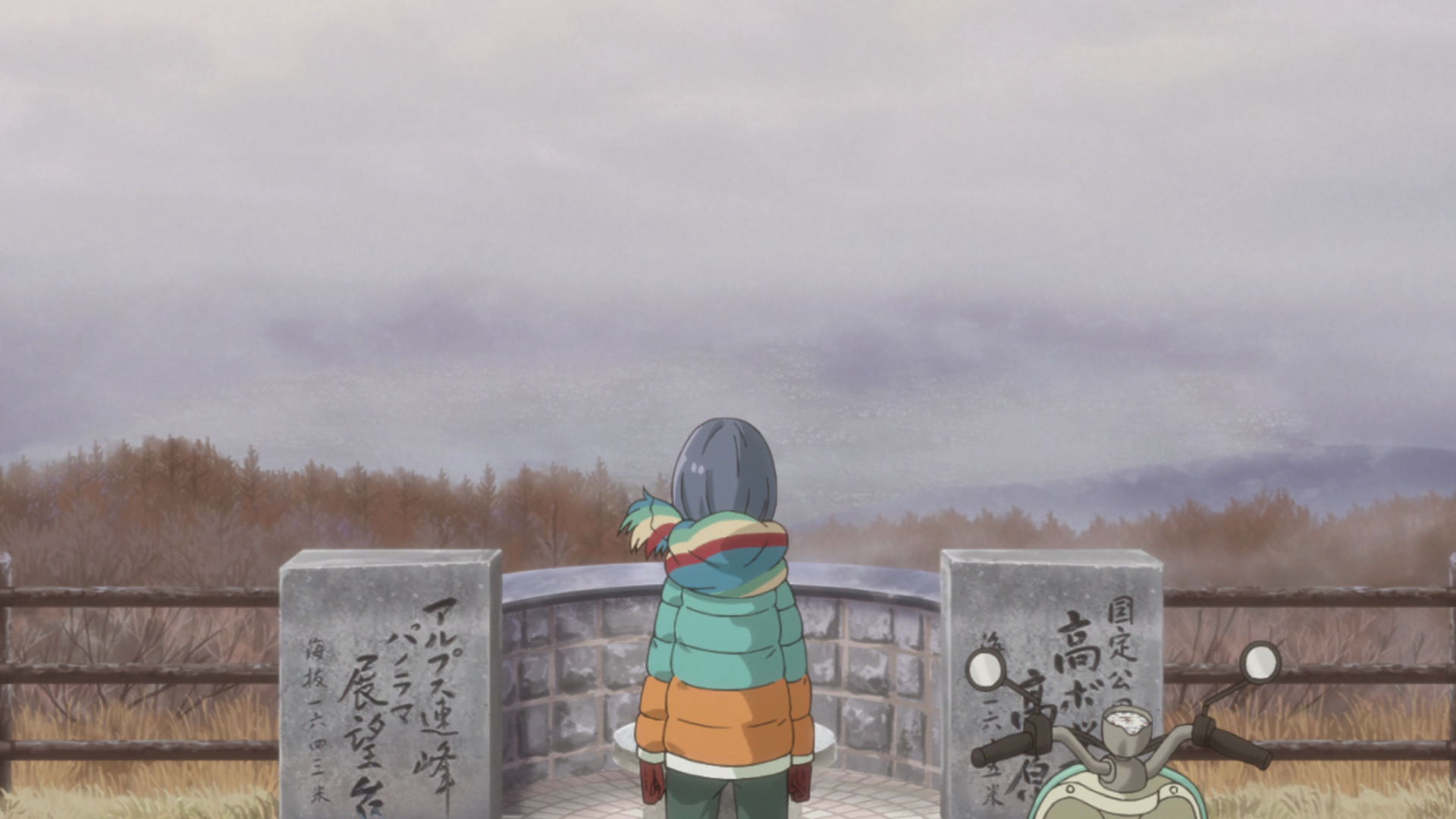
Japanese Alps Panoramic Lookout
This is Rin's first stop after coming back from the disappointing onsen journey. The weather wasn't great on this side of the mountain and cloud cover obstructed her view of the landscape.
View in OpenStreetMap View in Google Maps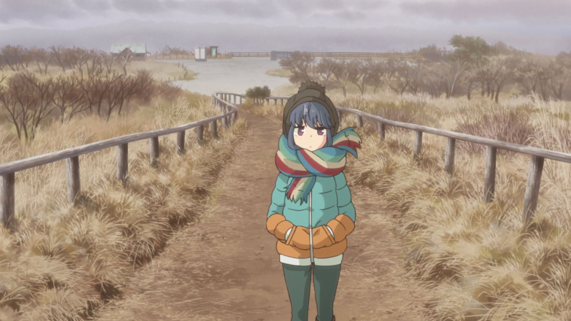
Trail to Mt. Takabotchi Peak
Moving on from the Panoramic Lookour, she heads towards the peak of Mt. Takabotchi.
View in OpenStreetMap View in Google Maps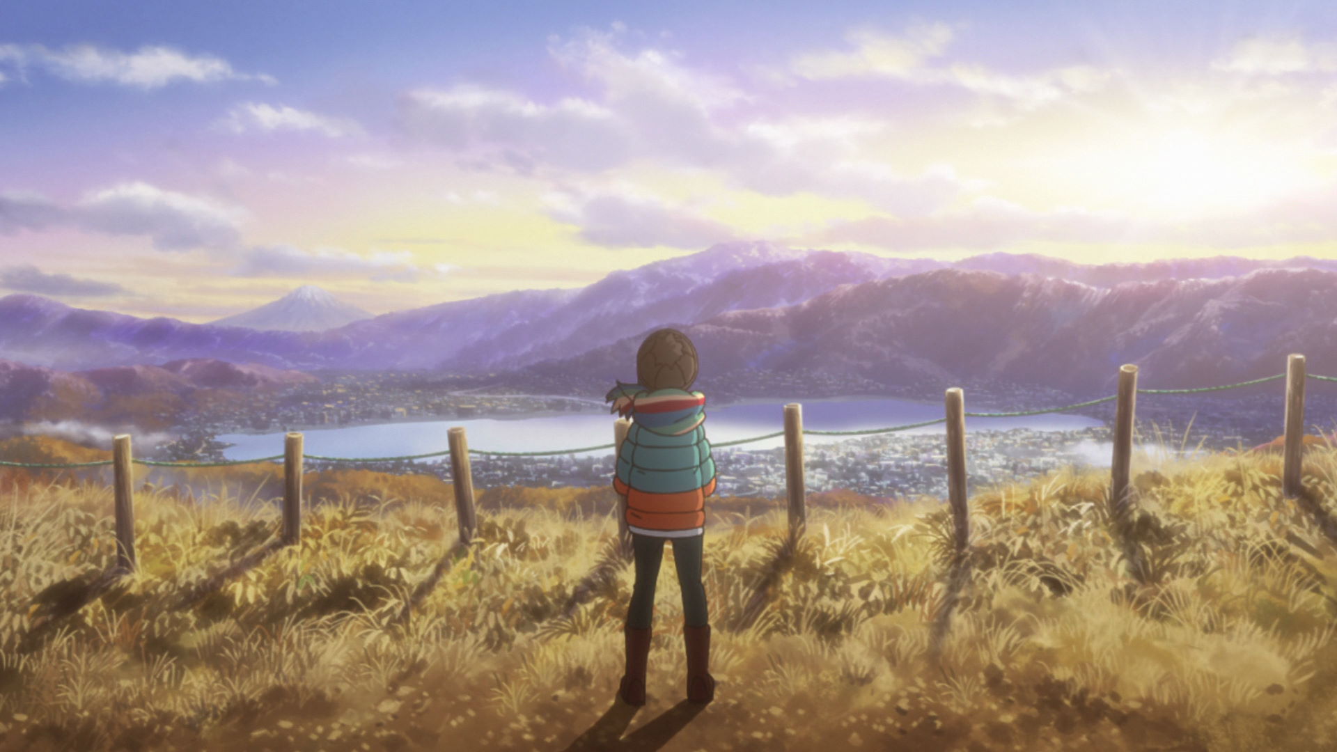
Peak of Mt. Takabotchi
Rin arrives to the peak and notices that there were no clouds covering this side of the mountain, giving a clear view to the town below.
Rin took a night photo of the town this spot overlooks and shared it with Nadeshiko. This location is a must for photographers!
Mt. Takabotchi Vending Machine
Rin wanders here while going around the place.
View in OpenStreetMap View in Google Maps
Mt. Takabotchi Campground
Rin wanders here while going around the place.
View in OpenStreetMap View in Google Maps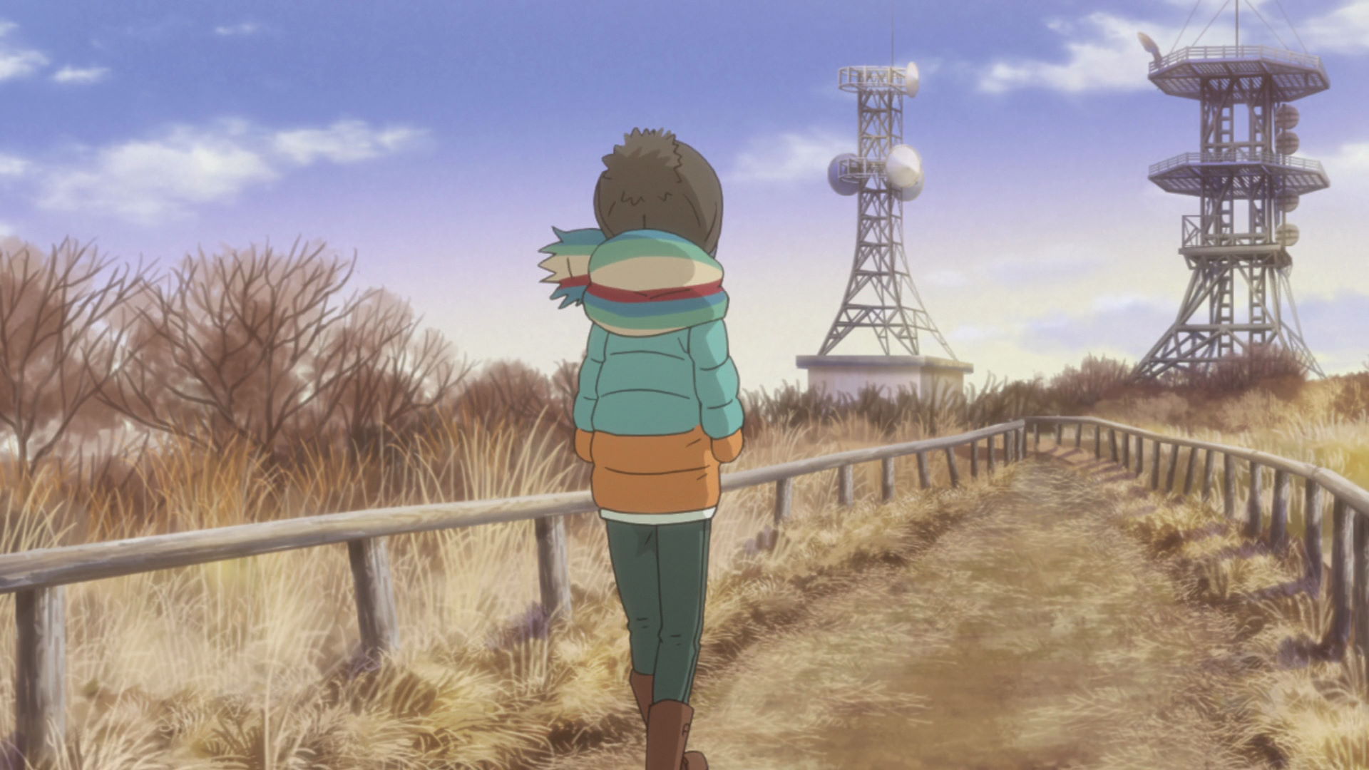
Mt. Takabotchi Antenna Station
Rin wanders here while going around the place.
View in OpenStreetMap View in Google Maps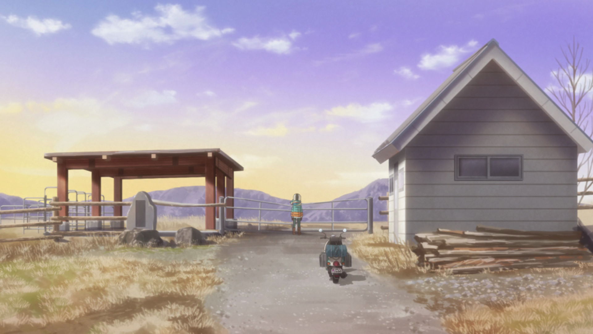
Mt. Takabotchi Pasture
Rin wanders here while going around the place.
View in OpenStreetMap View in Google Maps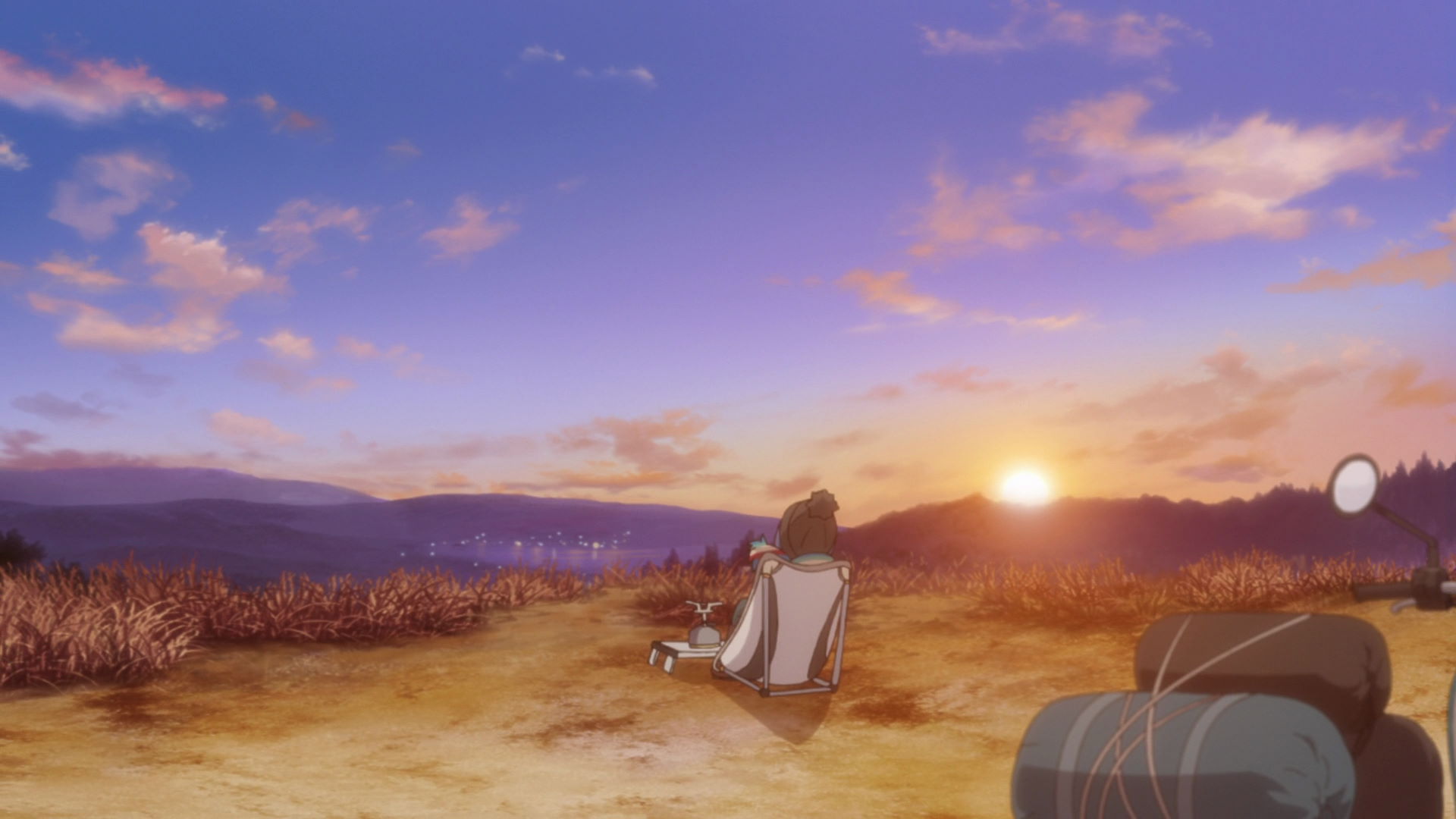
Mt. Takabotchi Rin Tent Location
This is where Rin spent the night in Mt. Takabotchi.
View in OpenStreetMap View in Google Maps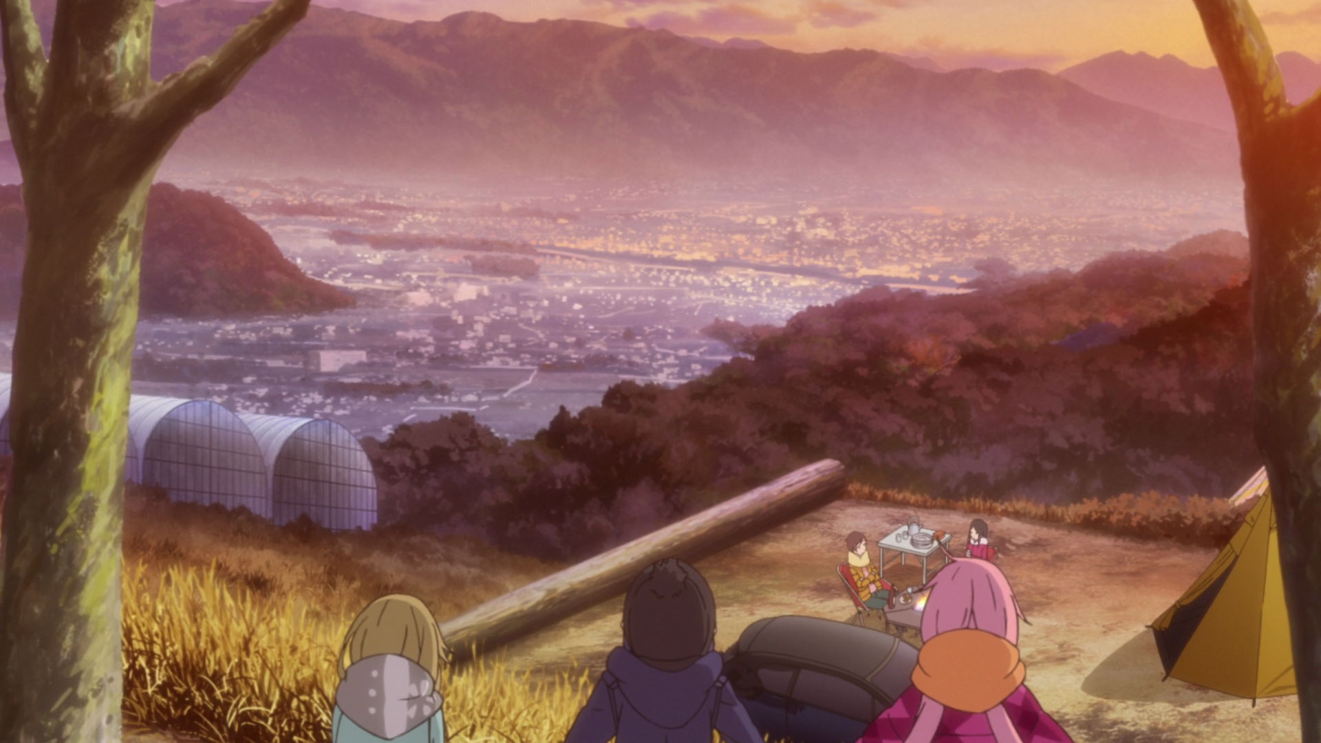
Pine Wood Auto Camping Ground
This marker points at the exact place that Nadeshiko, Aoi, and Chiaki pitched their tent and ate their curry for dinner.
View in OpenStreetMap View in Google Maps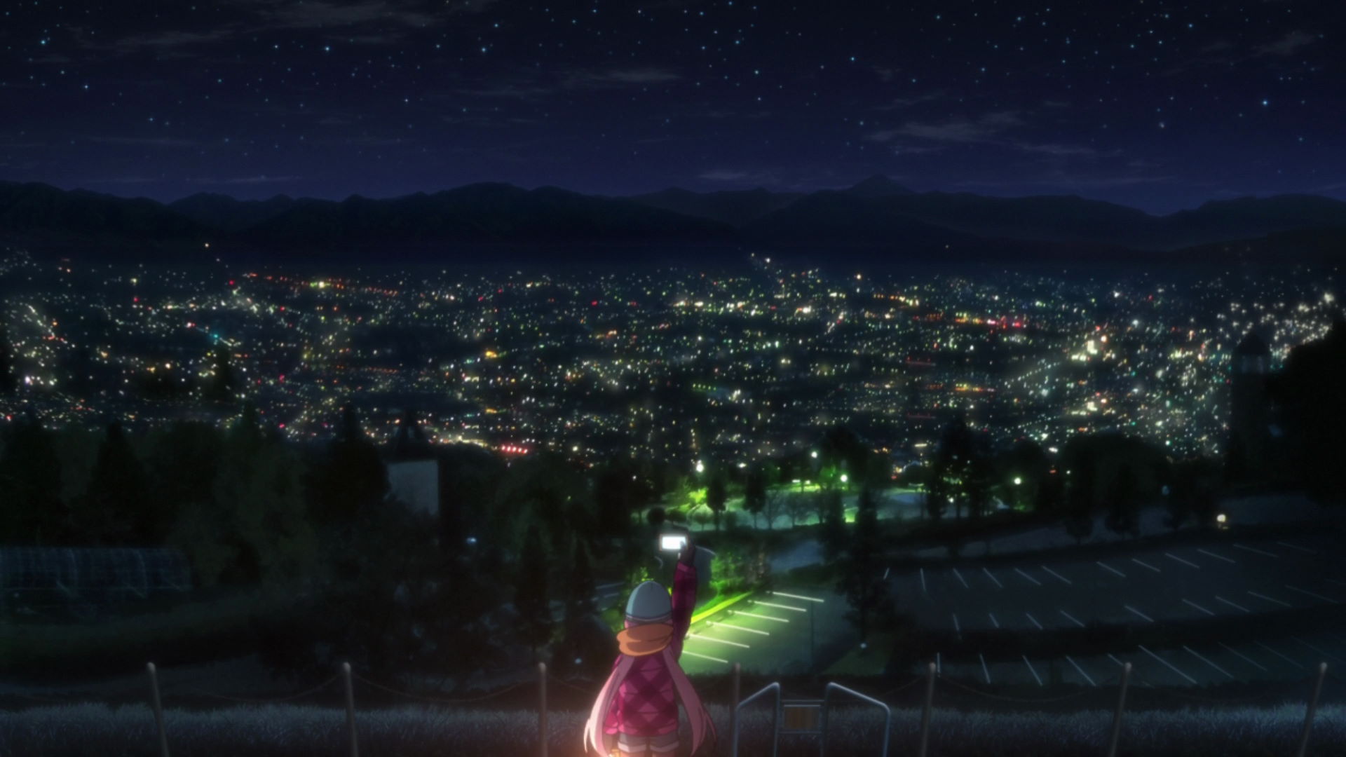
Lovers' Sanctuary
This is where Nadeshiko took a photo of the town below and sent it to Rin during the night.
Single otakus beware!
Takashima Castle
Rin passes through here after her solo camp on Mt. Takabotchi.
Official Site (JP) View in OpenStreetMap View in Google Maps
Katakurakan Day Spa
This is the place where Shimarin took a bath after missing out on the onsen fun that Nadeshiko's group had.
Official Site (JP) View in OpenStreetMap View in Google MapsMeat and Fall Colors and the Mystery Lake
Suimeiso Camping Ground
This is the place where Rin and Nadeshiko went camping by Lake Shibire. The campsites are opposite of this building and you can rent a boat to ride across the lake if you fancy it. There are no electric eels in the lake.
Yuru Camp△ merchandise and promotion available here!
A Night on the Lake Shore and Campers
Suimeiso Rin and Nadeshiko Tent Location
This is where Rin and Nadeshiko pitched their tents by the lakeside.
View in OpenStreetMap View in Google Maps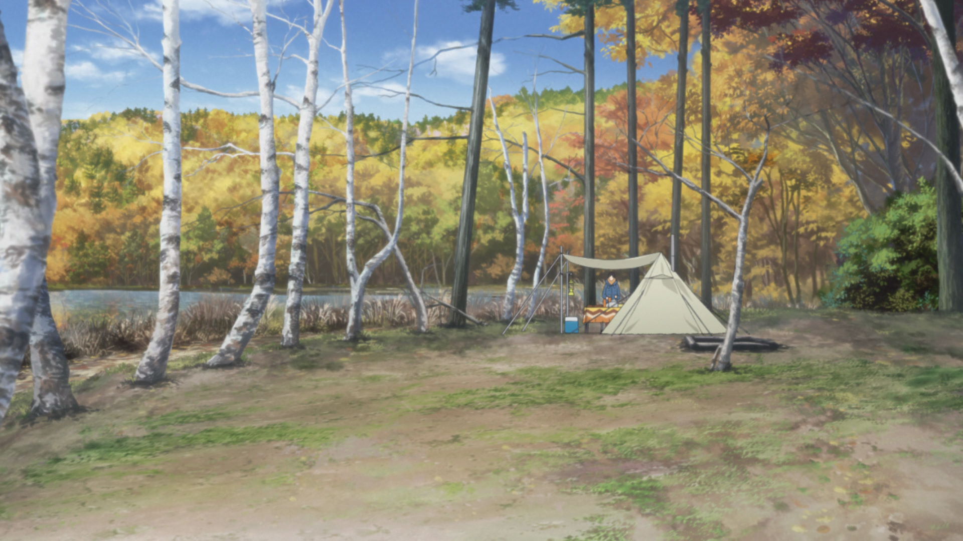
Suimeiso Toba Sisters Tent Location
This is where Rin and Nadeshiko first meet Toba-sensei and her sister.
View in OpenStreetMap View in Google Maps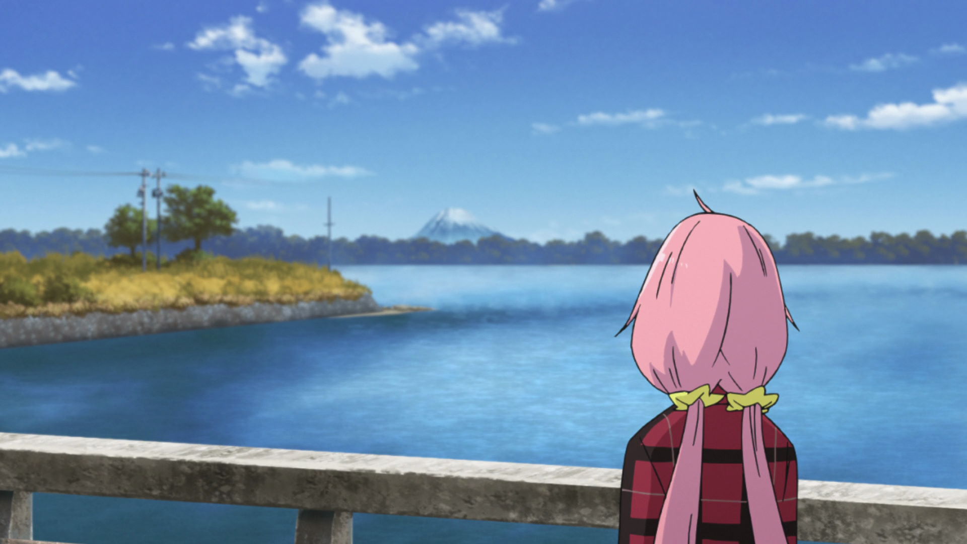
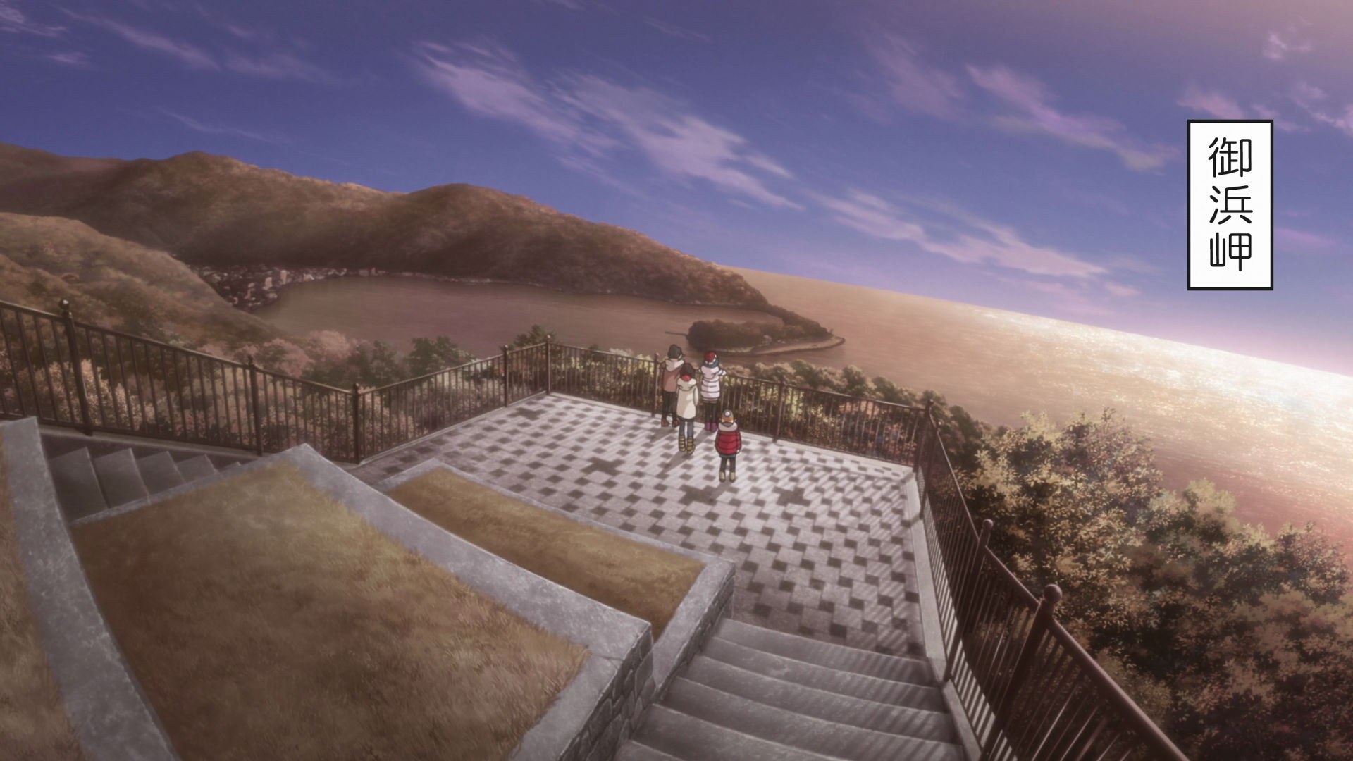
Nadeshiko-Mt. Fuji Lookout Point
This is where Nadeshiko was standing while looking at Mt. Fuji. It's only possible to see Mt. Fuji on a clear day.
View in OpenStreetMap View in Google Maps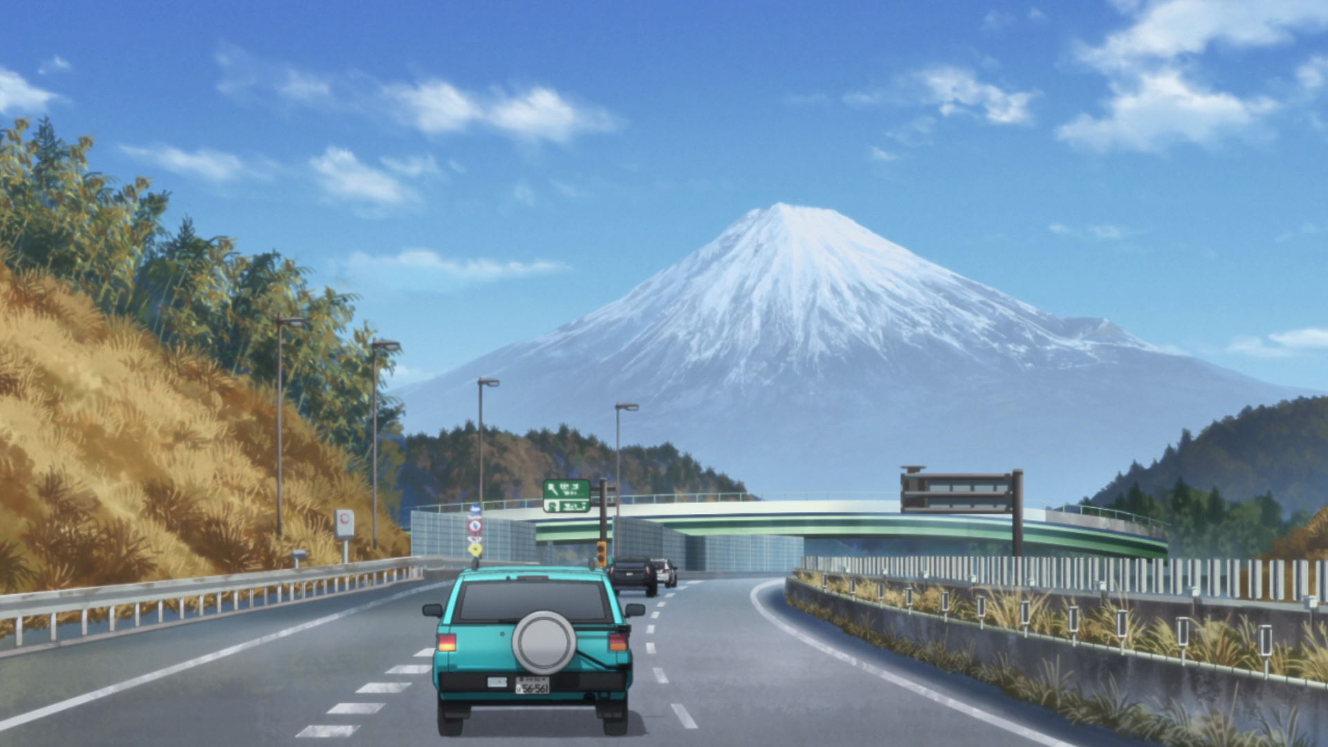
Shimizu-Mt. Fuji View
This is the view that Nadeshiko missed while she was sleeping at the car. Missing this view of Mt. Fuji led her to cycle to Lake Motosu and meet Rin by chance.
View in OpenStreetMap View in Google MapsExams, Caribou, Steamed Buns, Yum!
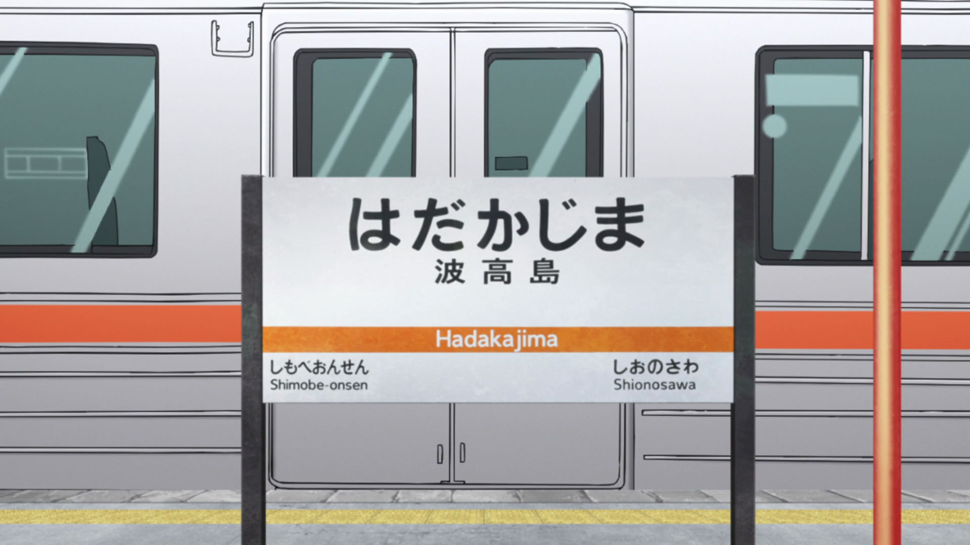
Hadakajima Station
This is Aoi and Chiaki's stop when they go to work at the Zebra Supermarket and the Kawamoto Liquor shop.
View in OpenStreetMap View in Google Maps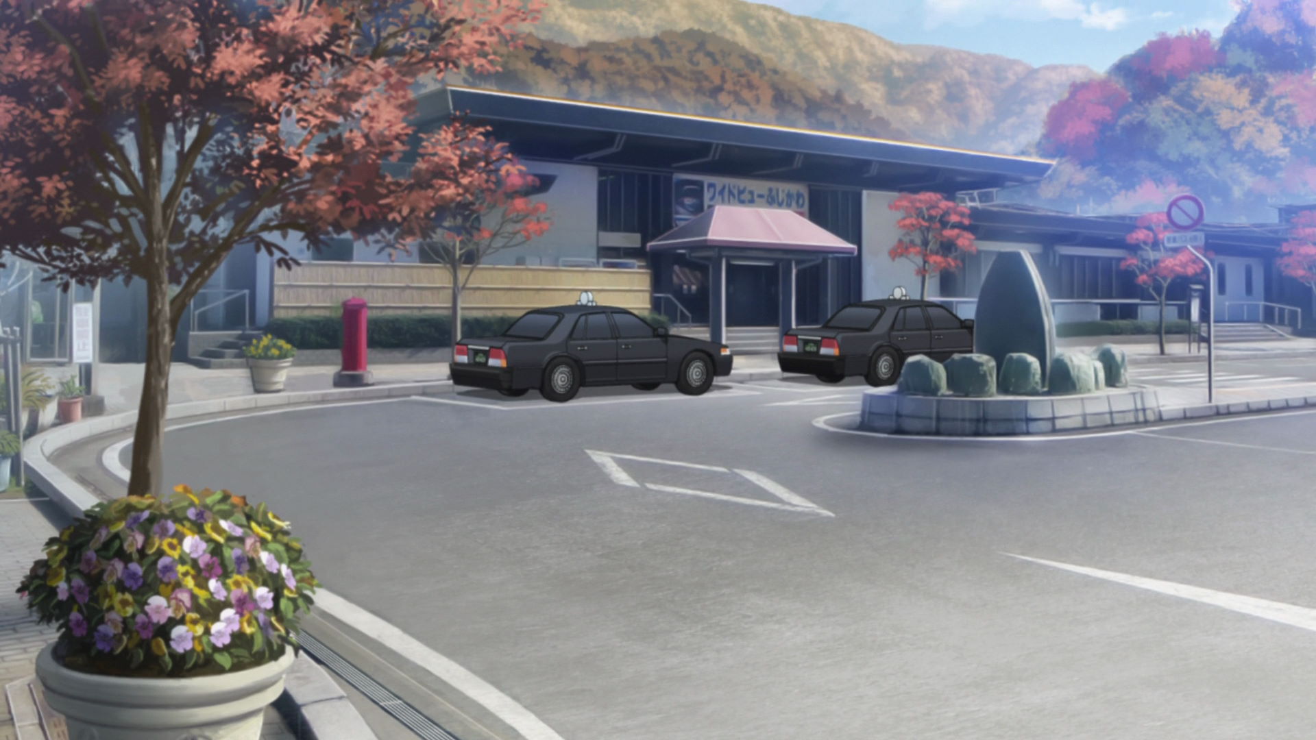
Minobu Station
This is Nadeshiko, Aoi, and Chiaki leave the train as they head towards the Caribou Outdoor Shop.
View in OpenStreetMap View in Google Maps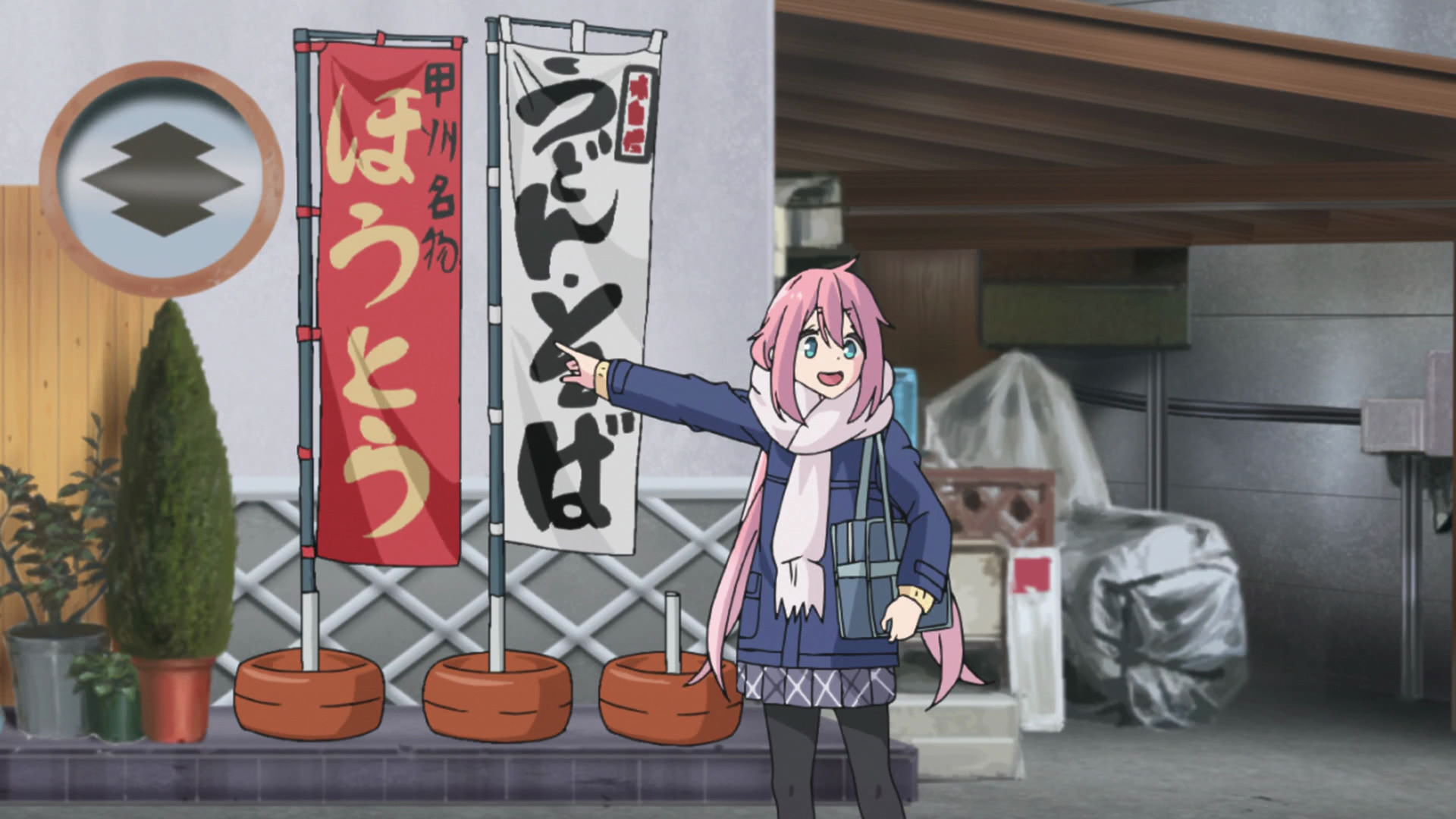
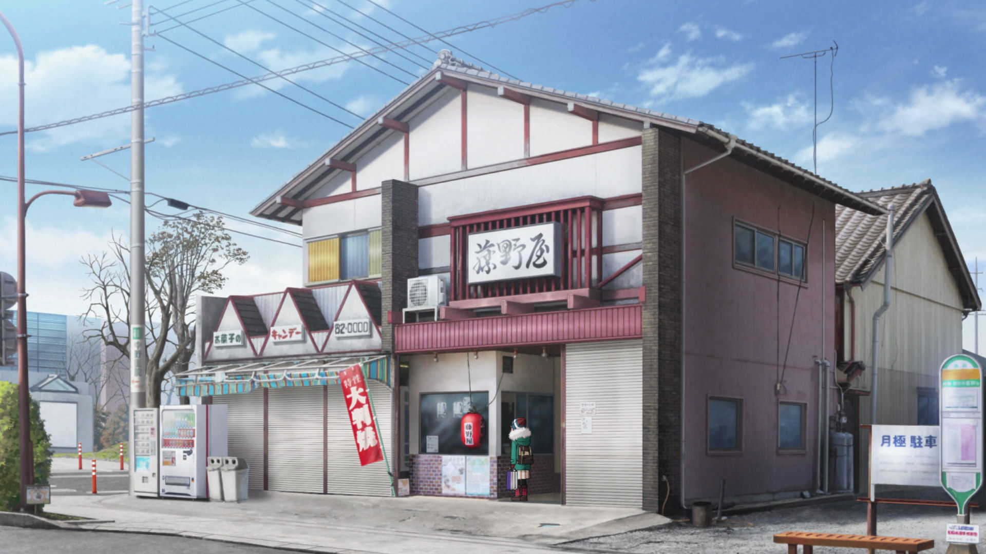
Yutakaya Store
This is a store that Nadeshiko passed by when they arrived at Minobu. They even have a Houtou menu here which was the food Nadeshiko saw on a banner outside the store.
Yuru Camp△ merchandise and promotion available here!
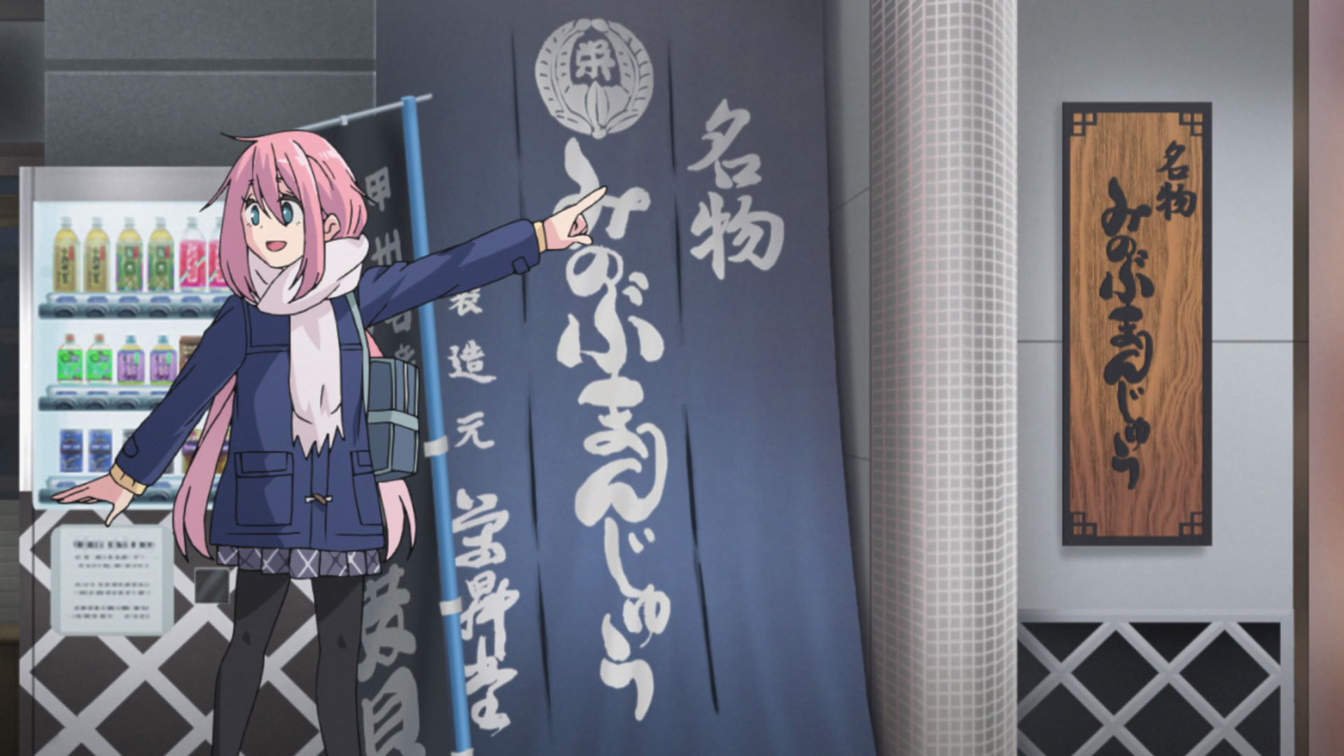
Eishodo
This is the place where Nadeshiko, Aoi, and Chiaki bought Minobu Manjuus. All three of them went back for seconds so make sure to buy enough!
Yuru Camp△ merchandise and promotion available here!
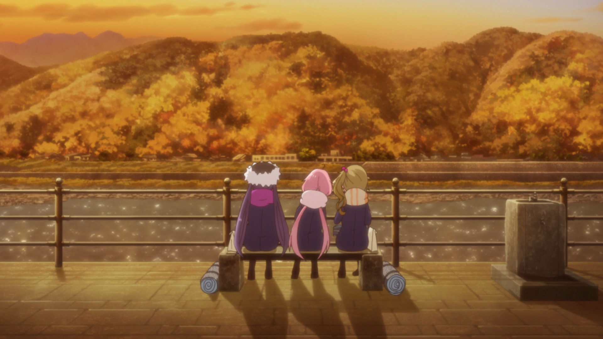
Minobu Bun Bench
This is where Nadeshiko, Aoi, and Chiaki sat down and ate the Minobu Manjuus they bought.
View in OpenStreetMap View in Google MapsA Night of Navigator Nadeshiko and Hot Spring Steam
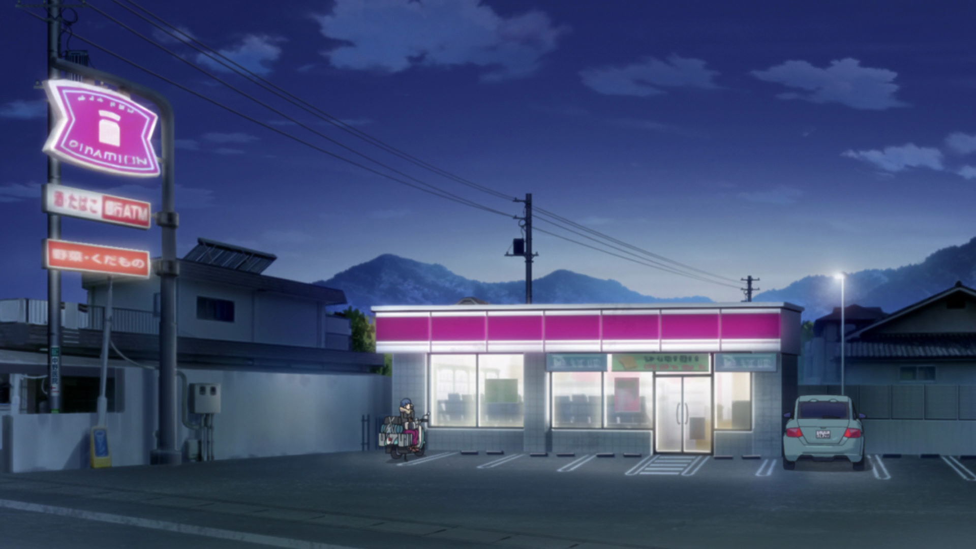
Lawson Minami Alps Kaido Shop
This is where Rin stops to answer Nadeshiko's call.
Official Site (JP) View in OpenStreetMap View in Google Maps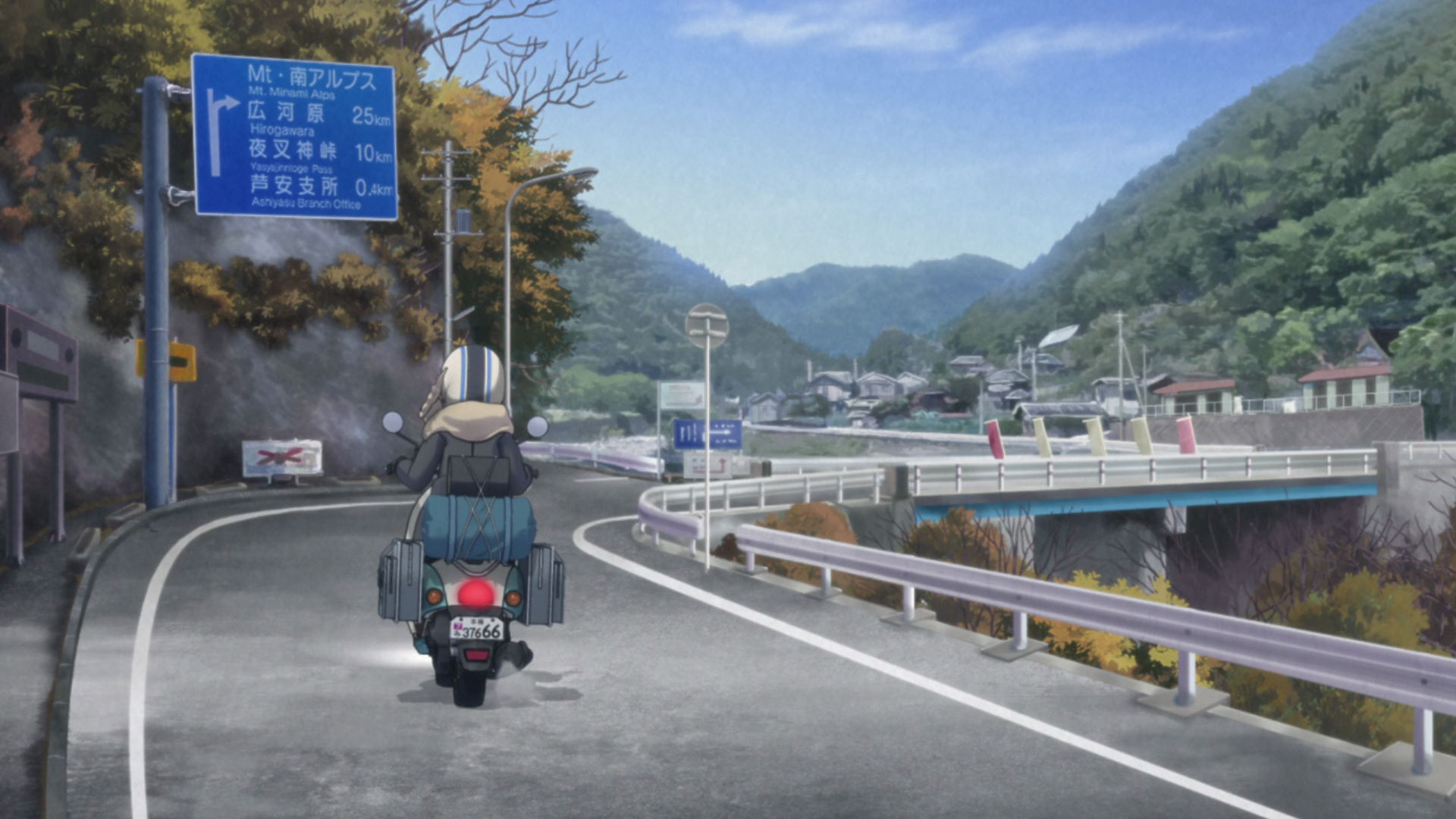
First Yashajin Pass Bridge
This bridge is the model of tha bridge that Rin crosses at the base of Minami Alps.
View in OpenStreetMap View in Google Maps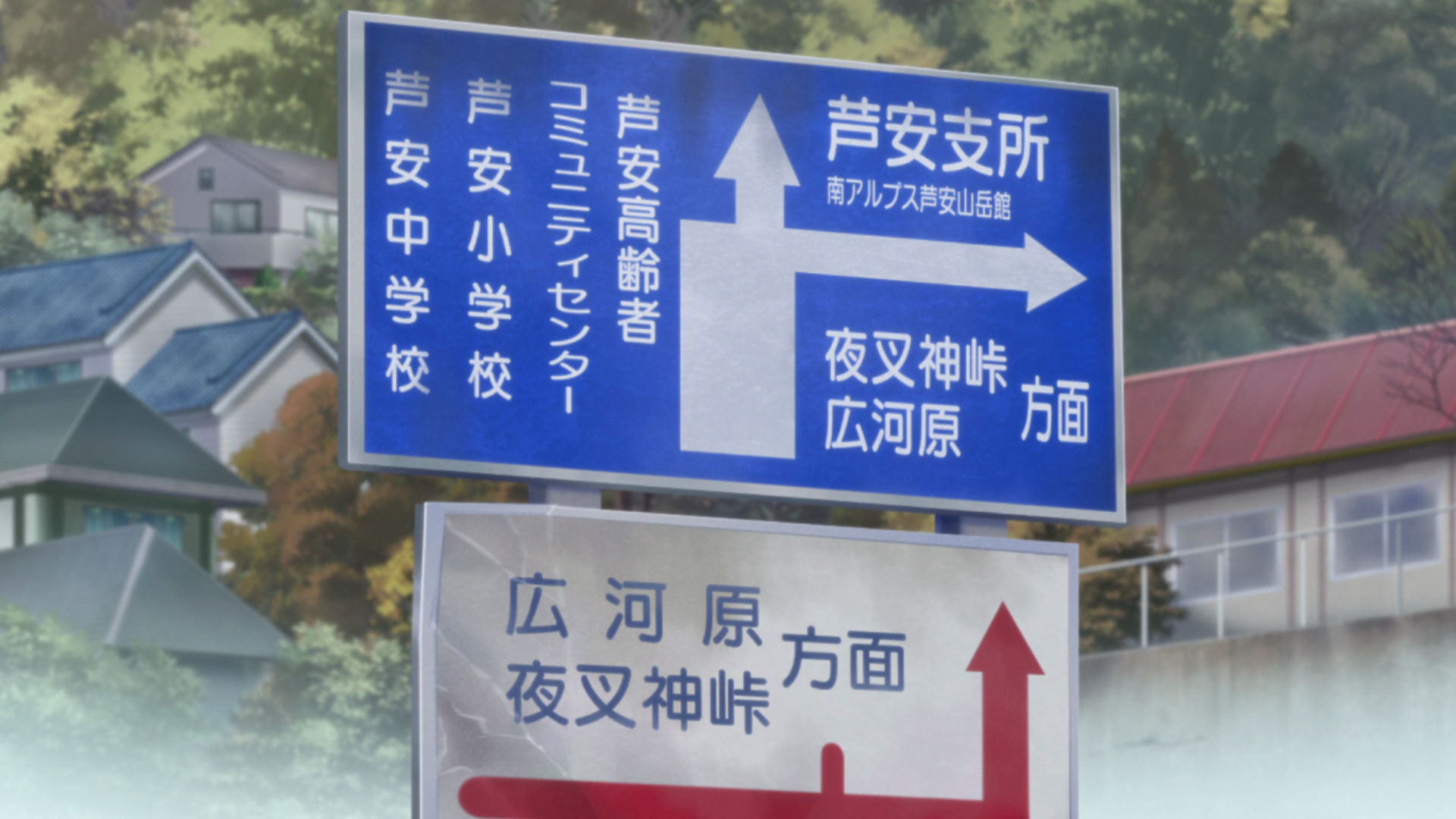
First Yashajin Pass Bridge Sign
Rin looks at this sign and was astounded by the name of the pass she was headed to.
View in OpenStreetMap View in Google Maps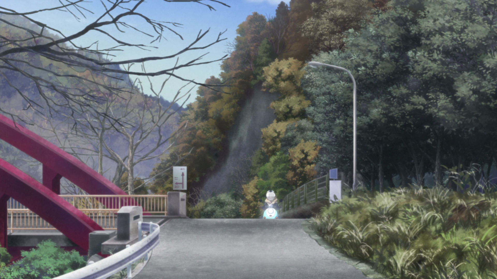
Second Yashajin Pass Bridge
This Red Arch bridge is the second bridge seen as Rin makes her way through Yashajin Pass,
View in OpenStreetMap View in Google Maps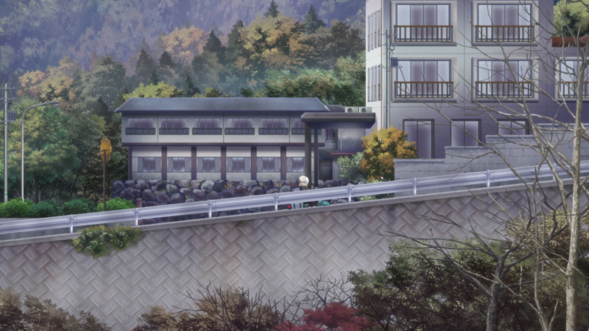
Ashiyasu Onsen Iwazonokan
Rin passes through these onsen buildings as she drives through Yashajin Pass.
The capture point is on the road across the river!
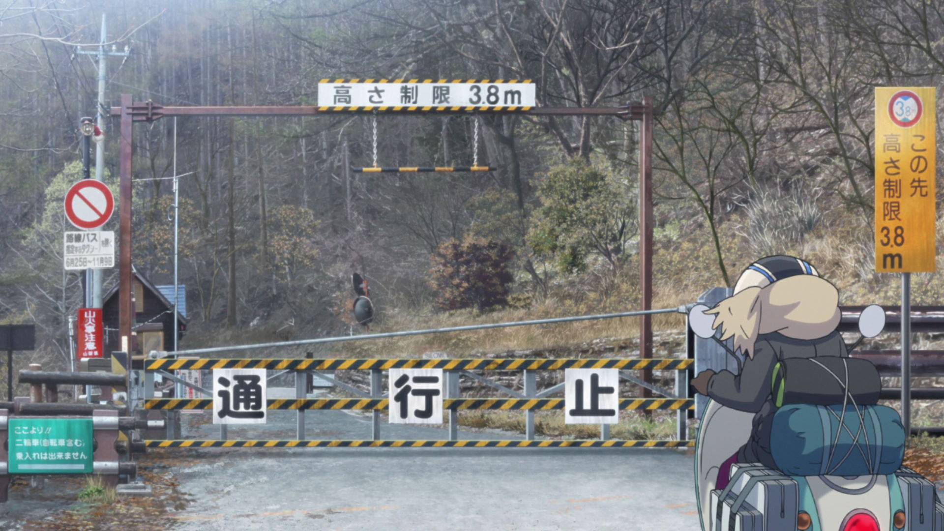
Yashajin Pass Parking Lot
This is where Rin found out that the road up ahead cannot be used by private vehicles.
There may be wild animals such as bears in the area! Please be cautious of your surroundings!
Yashagami Hutte
This is where Rin got a drink from a vending machine as she takes a break after finding out about the restricted road.
There may be wild animals such as bears in the area! Please be cautious of your surroundings!
Yuru Camp△ promotion available here!
Minami Alps Mt. Houou Hikers Hut
This is where Rin rests and meets Subaru-san the Tea Lady who was waiting for her companion that ran late.
There may be wild animals such as bears in the area! Please be cautious of your surroundings!
Minami Alps Mt. Houou Mountain Trail
This is where Rin sees Subaru-san off and was given tea.
There may be wild animals such as bears in the area! Please be cautious of your surroundings!
Tsuetsuki Pass Observation Cafe Kaze no Uta
This is where Rin was when Nadeshiko asked for her location. It's directly south of Lake Suwa and there is an observation deck nearby.
They are only open from April to the end of November. Opening hours: 10:00 - 15:00 (Closed on Wednesdays).
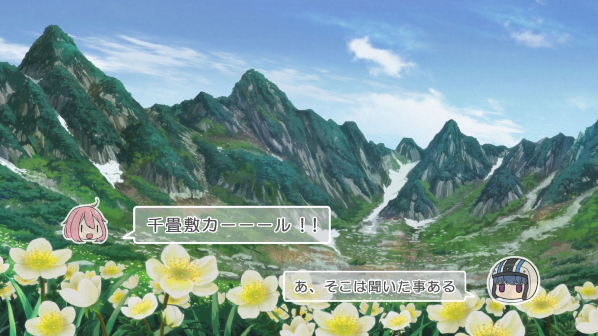
Senjoujiki Curl
This mountainous area was one of the places that Nadeshiko suggested though Rin didn't actually come to this place. The northeast direction fromt this spot has the same area of the curl used in the anime.
View in OpenStreetMap View in Google Maps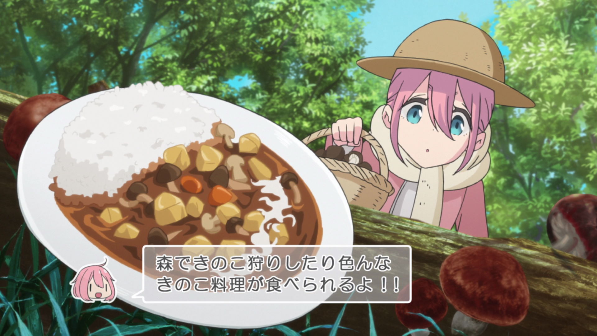
Mushroom Kingdom
This place was one of the places that Nadeshiko suggested though Rin didn't actually come to this place. It is a ski resort in the winter and a mushroom kingdom on warmer seasons.
They are open from April 25 - May 31, 10:00 - 16:00 with last admission at 15:30. They are closed on Thursdays. (Subject to change if Thursday is a national holiday.)
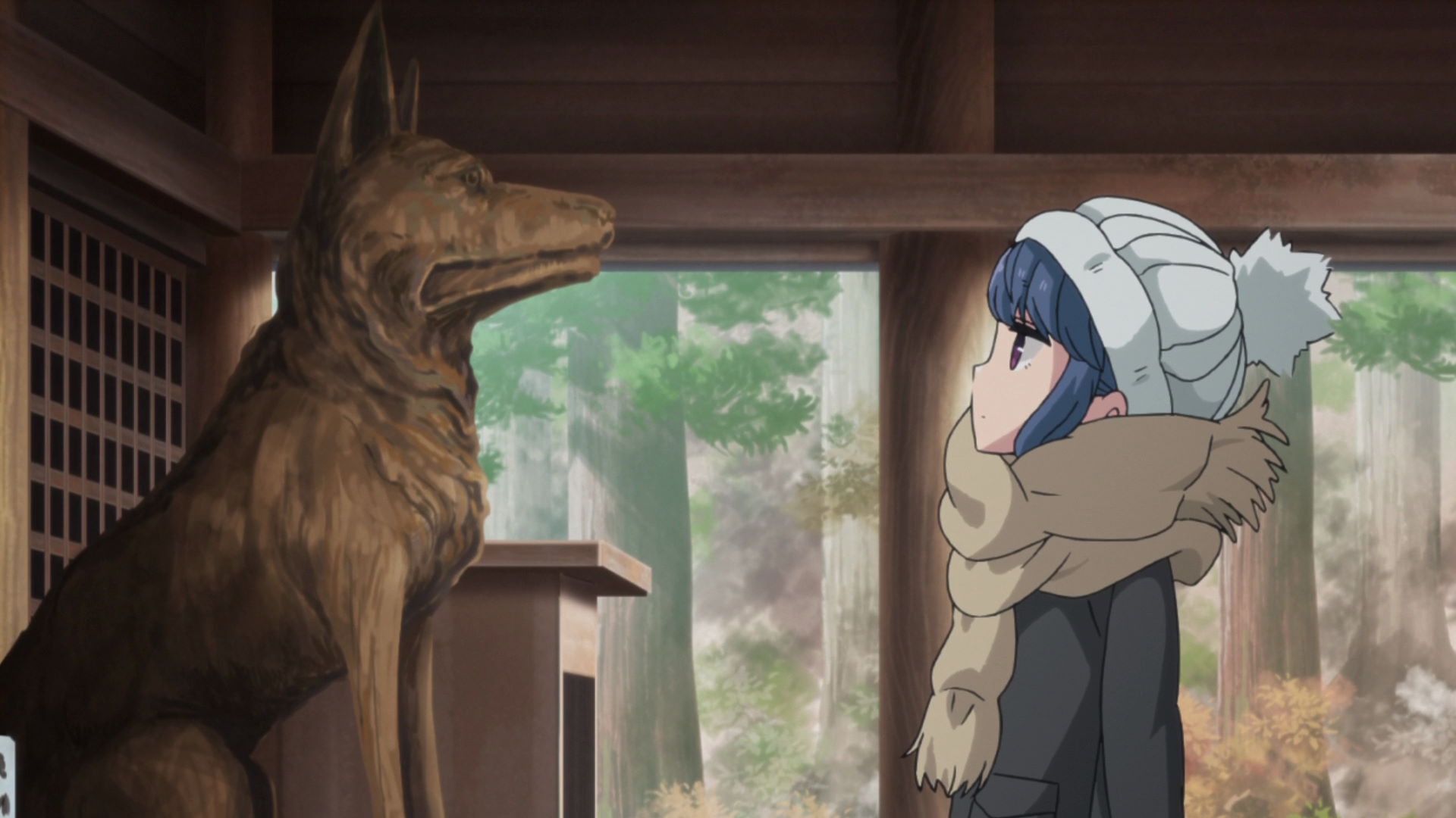
Hoshakuzan Kozenji Temple
This is the temple where Rin stops by. It is famous for it's legendary dog, which is the reason why Rin visited the place.
Yuru Camp△-related promotion available here!
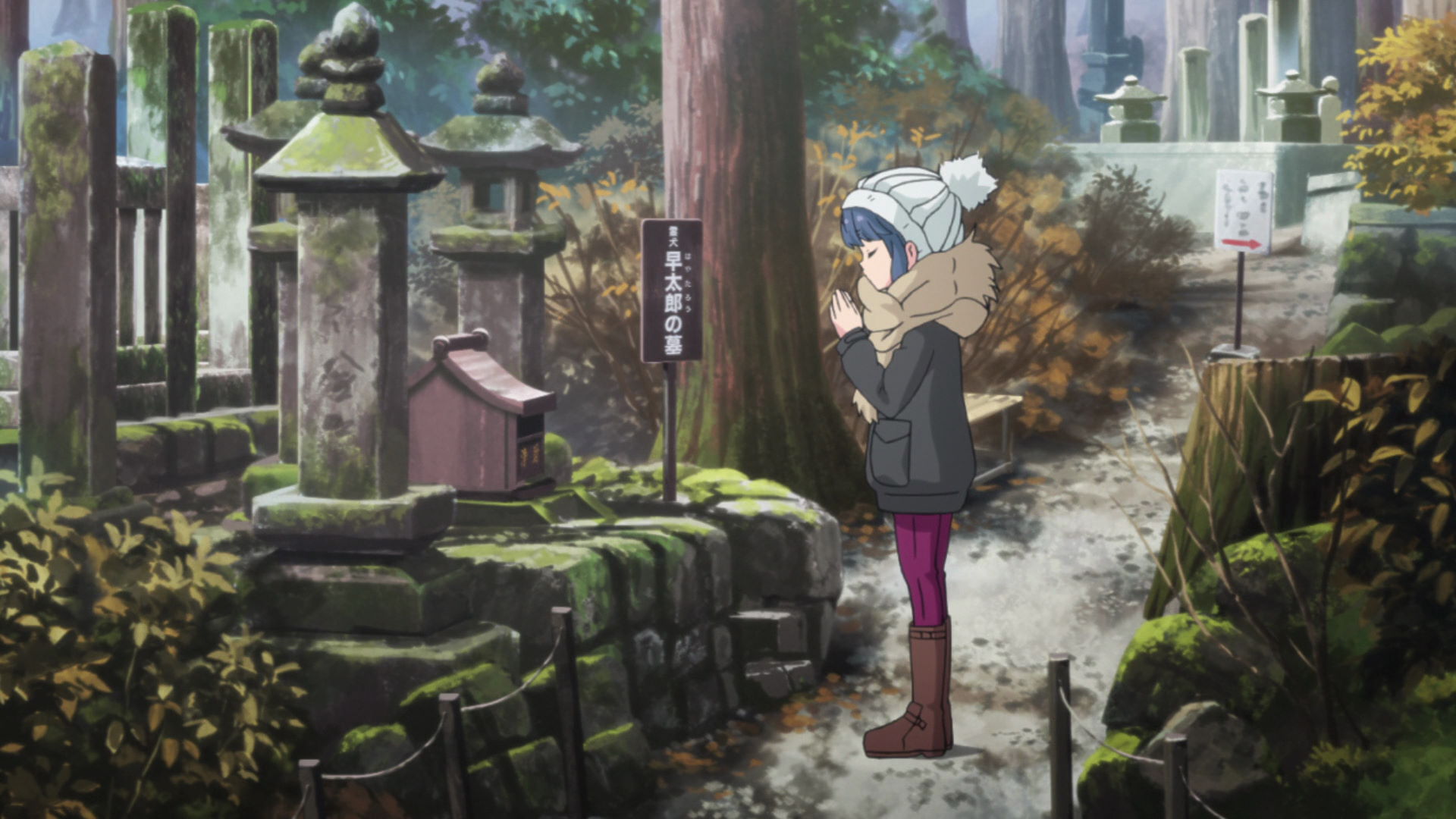
Hayatarou Grave
This is where Rin pays her respects for the hero dog that the temple enshrines.
View in OpenStreetMap View in Google Maps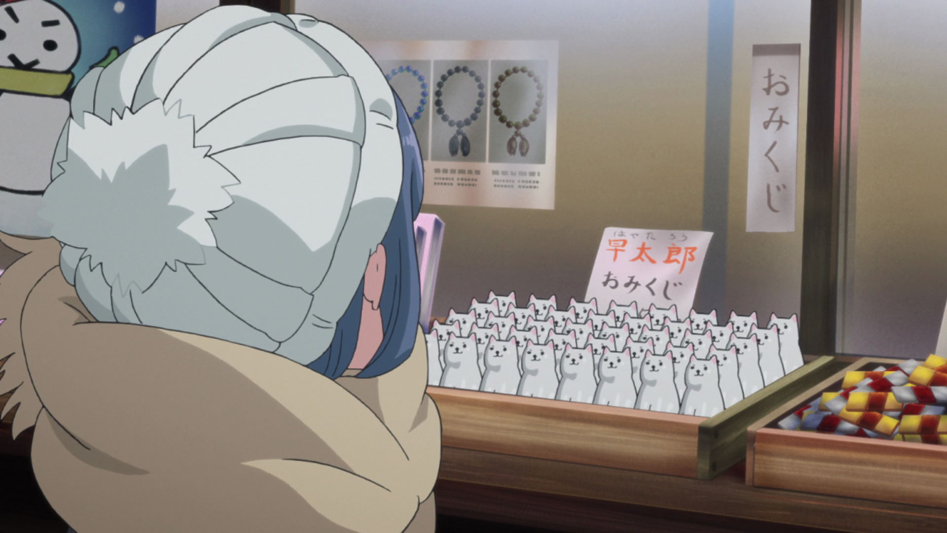
Kozenji Temple Building
In the series, this part of the temple is where Rin bought one of the cute dog fortunes and got one that says small luck.
Official Site (JP) View in OpenStreetMap View in Google Maps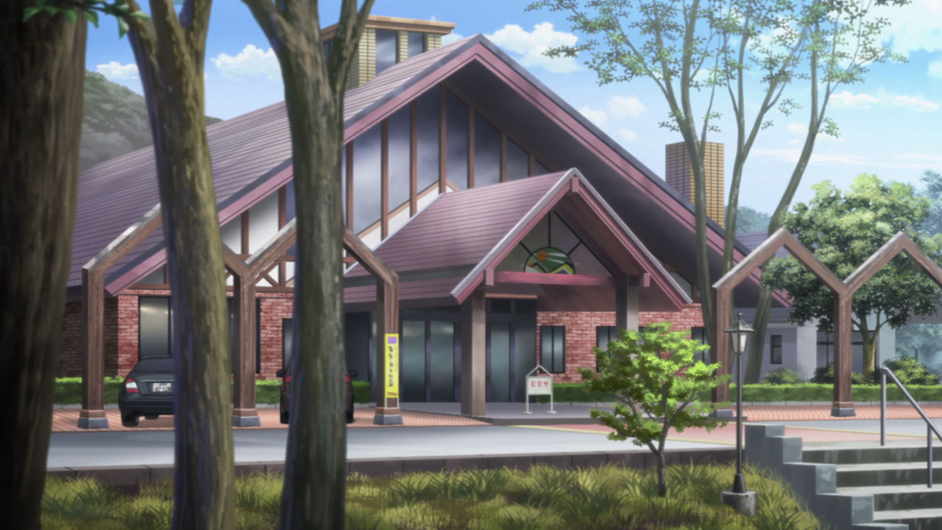
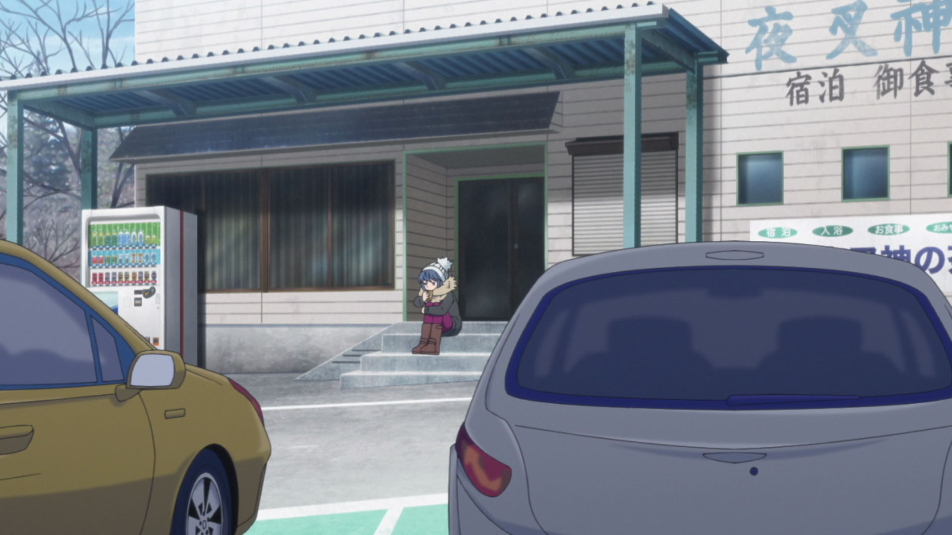
Hayataro Onsen Komakusa-no-yu Hot Spring
This is where Rin rests and grabs a bottle of tea after visiting the Kozenji Temple. She oversleeps out of exhaustion from her trip.
Organization Site (JP) View in OpenStreetMap View in Google MapsClumsy Travelers and Camp Meetings
FamilyMart Uwabukita
Rin bought a juicy pork bun from here as she headed to the campgrounds.
Official Site (JP) View in OpenStreetMap View in Google Maps
Mount Jinbagata Road Stop Sign
Rin sees a stop sign at the side of the road and stops. She is later told by Chiaki that the sign was just left there and that the road is apssable. She then gets off her moped and walks to the campground.
View in OpenStreetMap View in Google Maps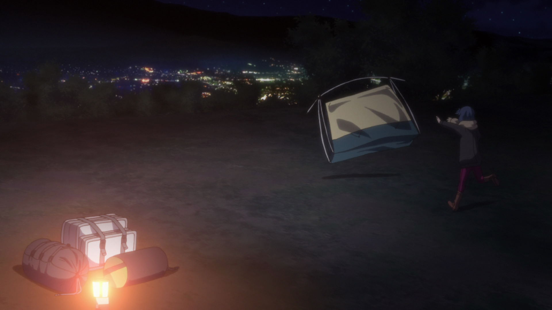
Mount Jinbagata Campground
This is the campground where Rin arrives late after oversleeping at the Hayataro Onsen.
Official Site (JP) View in OpenStreetMap View in Google Maps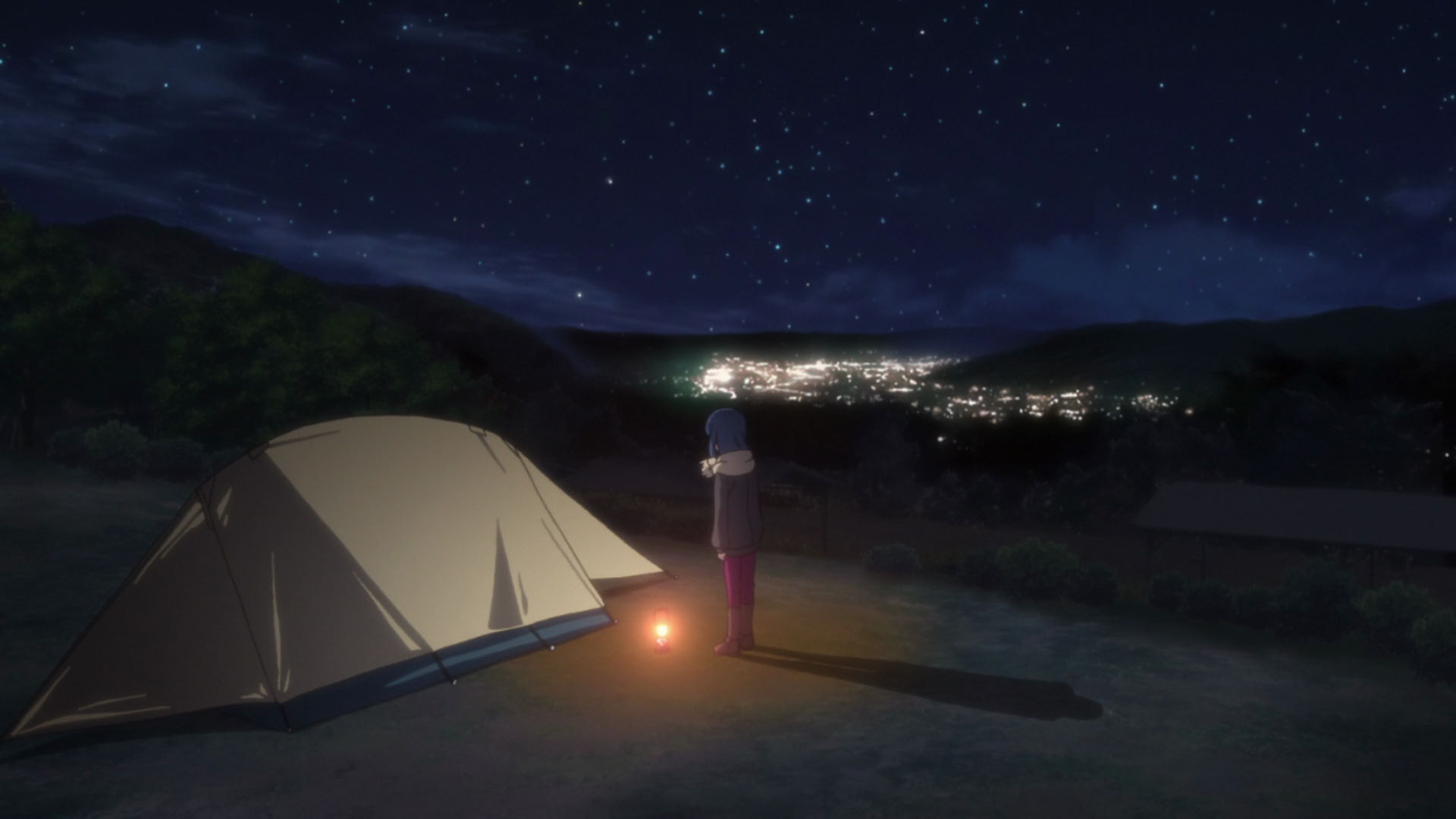
Mount Jinbagata Rin Tent Location
This is where Rin pitched her tent in the Jinbagatayama Campground.
View in OpenStreetMap View in Google Maps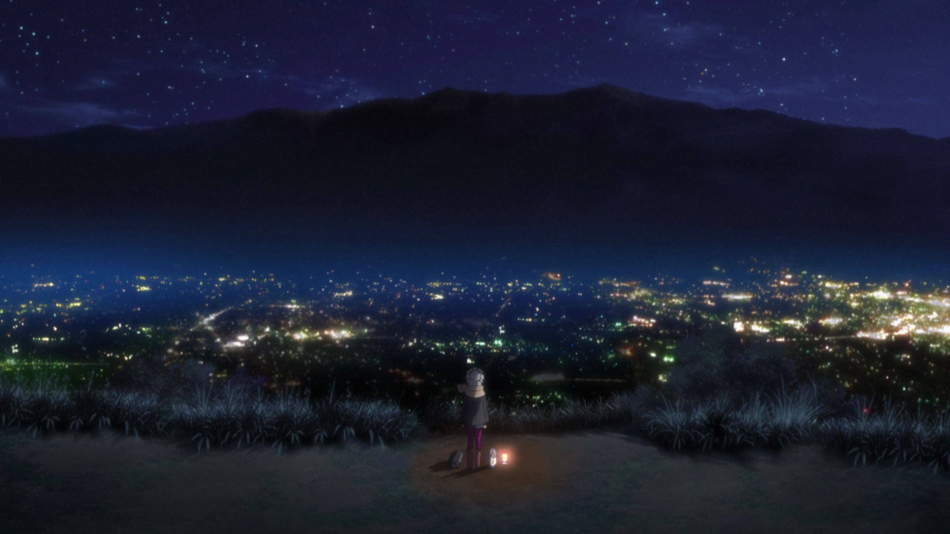
Mount Jinbagata Summit Observatory
This is where Rin sat down on her low chair and cooked her juicy pork bun that she bought from the convenience store.
Official Site (JP) View in OpenStreetMap View in Google MapsChristmas Camp!
Mount Fuji YMCA Global Eco Village
This is where Rin, Nadeshiko, Aoi, Ena, and Toba-sensei had their christmas camp!
Official Site (EN switch at top-left) View in OpenStreetMap View in Google Maps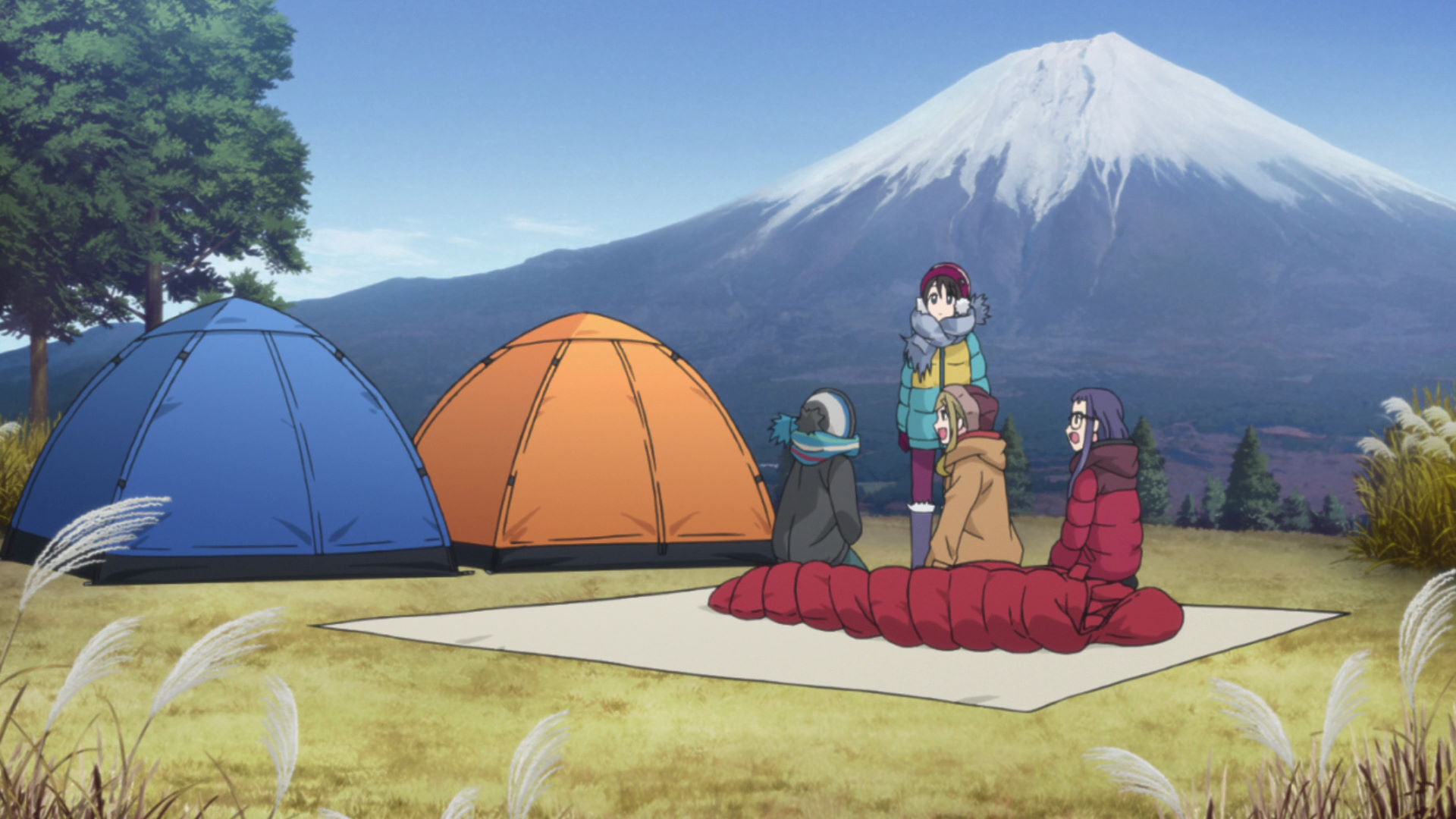
Mt. Fuji YMCA Tent Location
This is where the campers pitched their tent in the campgrounds.
View in OpenStreetMap View in Google Maps
Natura Vita
This is the cafe of the Makaino Farm. This is the place where
Aoi and Chiaki ate dessert
while Rin, Nadeshiko, and Toba-sensei were at the campgrounds.
Yuru Camp△ merchandise and promotion available here!
Mount Fuji and the Laid-Back Camp Girls
There are no new locations in this episode!
Curry Noodles Are the Best Travel Companion
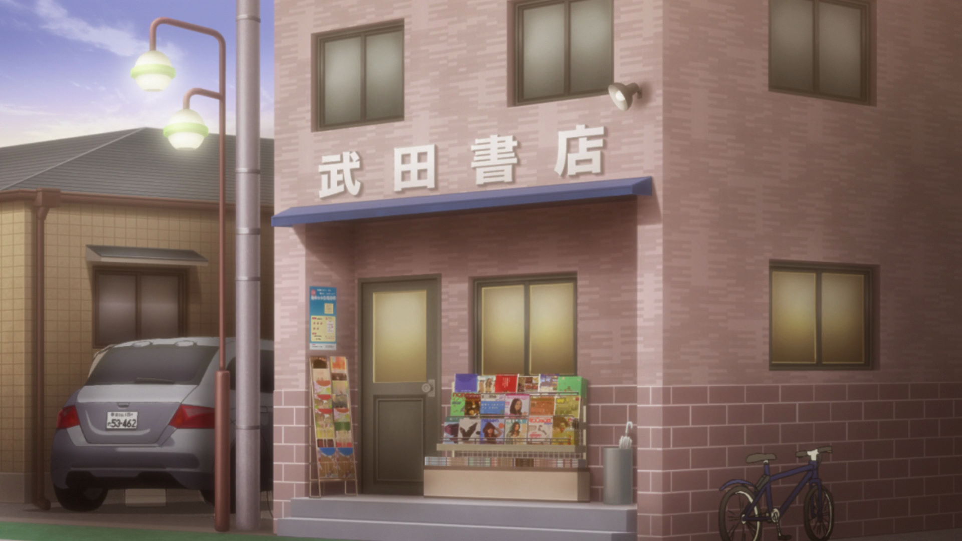
Old Furuseki Post Office
This former post office building is the model building for Takeda's Bookstore where Rin works part-time.
View in OpenStreetMap View in Google Maps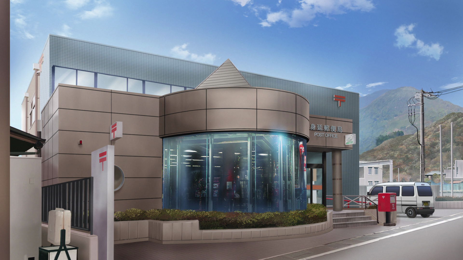
Minobu Post Office
This is where Nadeshiko works part-time to earn money for her camping equipment,
Yuru Camp△ promotion found here!
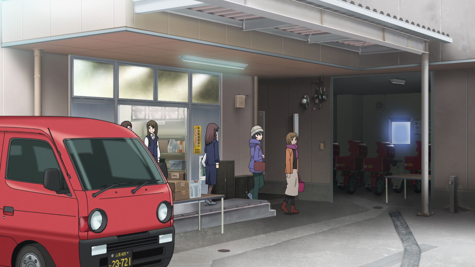
Minobu Post Office Side Entrance
This is where Ena exits the post office building with Nadeshiko waiting for her outside the entrance.
Official Site (JP) View in OpenStreetMap View in Google Maps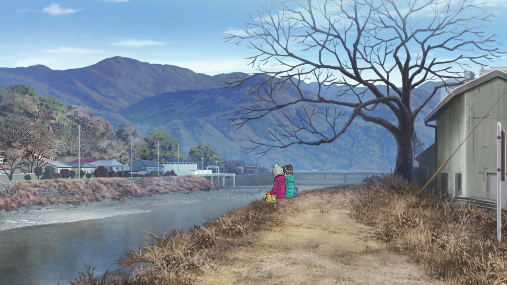
Minobu Riverside Lunch Spot
This is where Nadeshiko and Ena ate their lunch while chatting.
View in OpenStreetMap View in Google Maps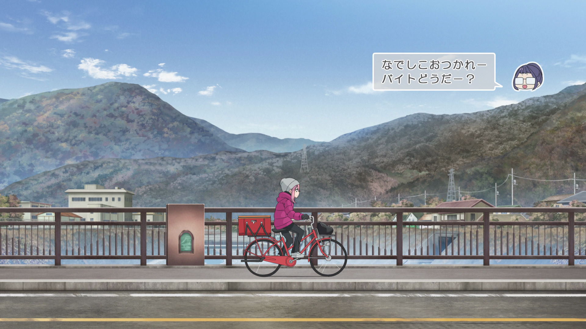
Nadeshiko Minobu Cycle Bridge
Nadeshiko drove through this bridge as she was delivering mail.
Take a photo facing the West or Upstream part of the river to get a similar photo from the anime .
Takayama Capture Point
Aoi and Akari walked through these streets in a cutscene.
Face the Southern part of the road from this point to get a photo similar to the anime frame.
New Furuseki Post Office
This is the first recognizable scene from Rin's New Year's solo camping trip.
Official Site (JP) View in OpenStreetMap View in Google Maps
Kikuya Store Furuseki Intersection Capture Point
This is the second recognizable point in Rin's New Year's solo camping trip.
Face the intesection from this point to get a photo similar to the anime frame.
Tokiwa River Bridge
Rin drives through this bridge early morning on her New Year's solo camping trip.
The capture point is at the southern side of the river. You either have to be creative or get a drone for the shot.
Minobu Line-Route 300 Rail Intersection Capture Point
This is the fourth recognizable route in Rin's New Year's solo camping trip.
Face the North side from this point to take a photo similar to the anime frame.
Uenotaira Scenery
This scenery is the fifth recognizable point in Rin's New Year's solo camping trip.
Face the East and include the distant bridges when taking a photo to make it similar to the anime frame.
Fuji River Scenery
This is the sixth recognizable point in Rin's New Year's solo camping trip.
Face the North while including the bend and the river to get a photo similar to the anime frame.
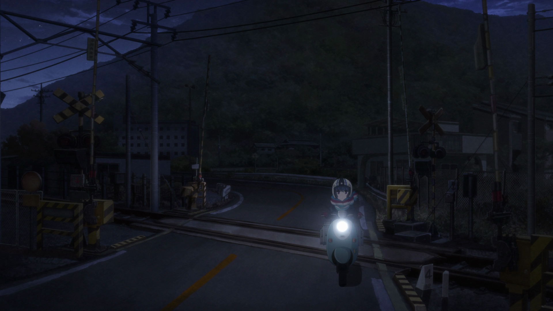
Utsubuna Station Line Bridge Intersection
This is where Rin and Nadeshiko meet up by chance as Nadeshiko was buying snacks for break time while Rin was driving to her New Year's solo camping trip destination.
View in OpenStreetMap View in Google MapsNew Year's Solo Camper Girl
Omaezaki Lighthouse Observation Platform
This is where Rin was enchanted by the sea so much that she wanted to shout in exclamation.
View in OpenStreetMap View in Google Maps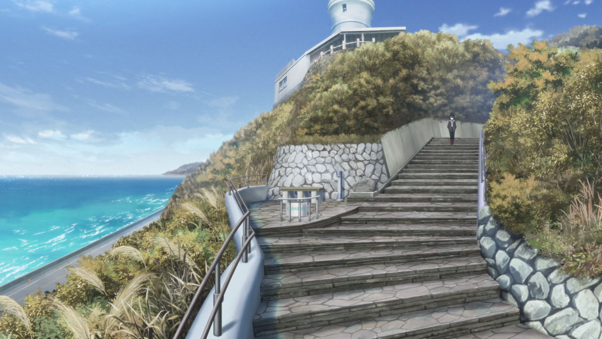
Omaezaki Platform Stairway to Seaside
This is the staircase that Rin uses to go to the seaside. Watch out for dog paw prints on the steps and be sure to capture them when you find them!
View in OpenStreetMap View in Google Maps
Kimikura
This is the place where Subaru-san the Tea Lady from Yashajin Pass works. There is a green tea cafe in the second floor of this place.
The tea Rin bought is called "Himekura". At the cafe, she bought a matcha tiramizu and green tea set.
Yuru Camp△ merchandise and promotion available here!
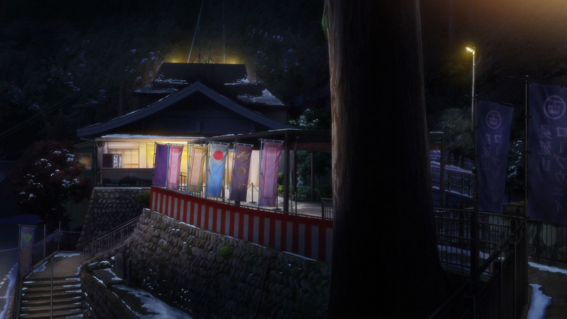
Mitsuke Tenjin Shrine
This is the shrime that Rin visits on her New Year's Solo Camp. It is related to the dog of the Hoshakuzan Kozenji Temple that she visited in Season 1, Episode 9.
Yuru Camp△ merchandise available here!
Ryuyokaiyo Koen Auto Camping Ground
This is the camping grounds Rin chose for her New Years Solo Camping Trip.
Yuru Camp△ promotion available here!
Ryuyokaiyo Koen Auto Camping Ground Rin Tent Location
This is where Rin pitched her tent while camping in this camping ground. The anime frame is panning through this scene so it may be wise to take a panoramic shot over a wide angle shot from this point.
View in OpenStreetMap View in Google Maps
Ryuyo Shiosai Wind Power Plant Kazaryu
This windmill is a very recognizable feature in the anime and it's possible to see it from the camping grounds and the surrounding area.
Official Site (JP) View in OpenStreetMap View in Google Maps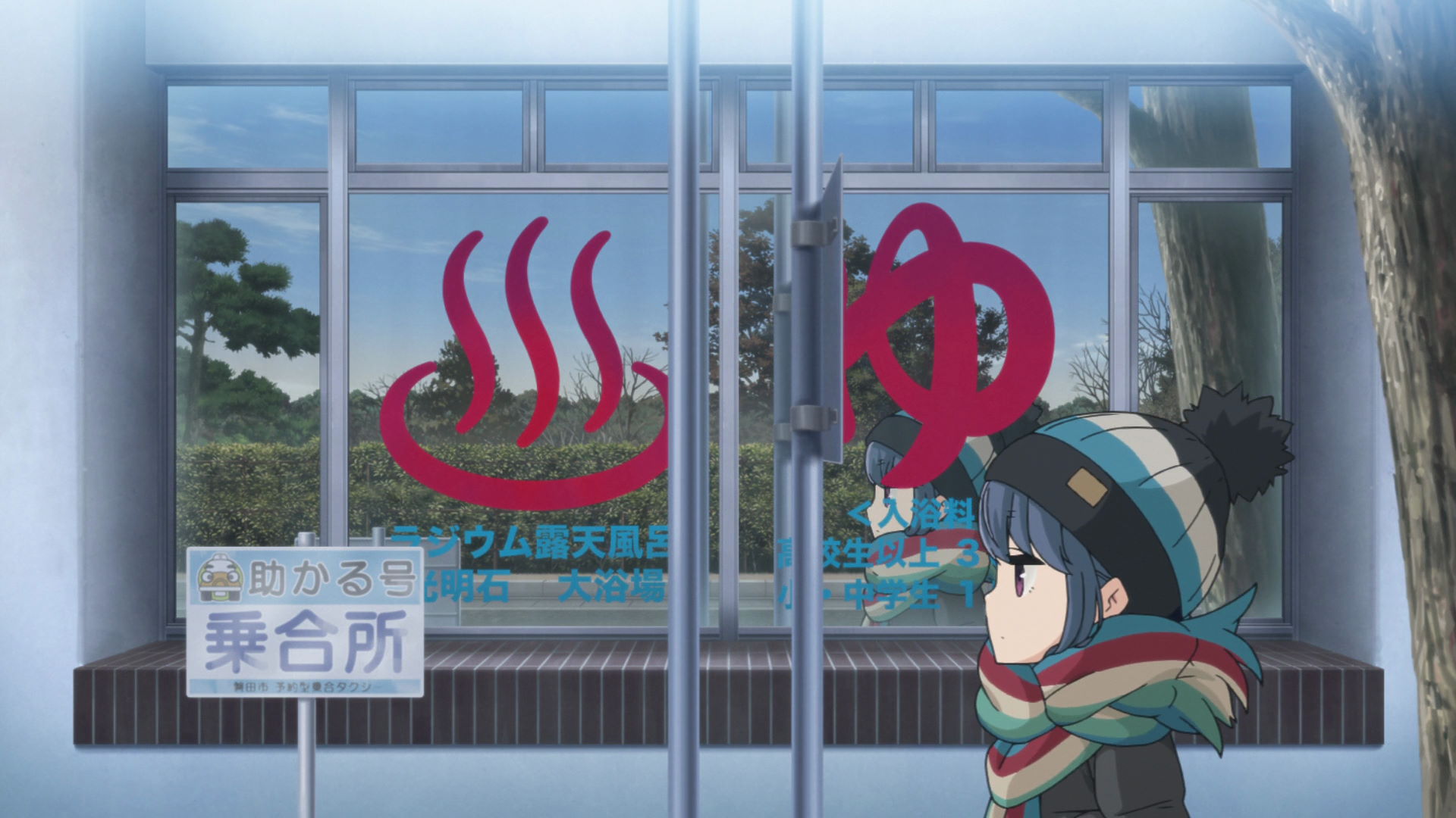
Ryuyokaiyo Koen Onsen Capture Point
Rin walks past the glass panel with the onsen icon and the「♨」 symbol and「ゆ」character. The lamp posts separate the icon and the characters in between.
View in OpenStreetMap View in Google Maps
Ryuyokaiyo Koen Park Capture Point
Rin walks through this pathway as she heads to the lighthouse. Face the North-Northwest side of the pathwalk and take a photo above your height and with the frame tilted a little to the left. A wide angle lens may be needed for this shot.
View in OpenStreetMap View in Google Maps
Ryuyokaiyo Koen Seawall Capture Point
Face the seawall from this direction while includiing the tree in front of the hedge and the tall tree at the right.
View in OpenStreetMap View in Google Maps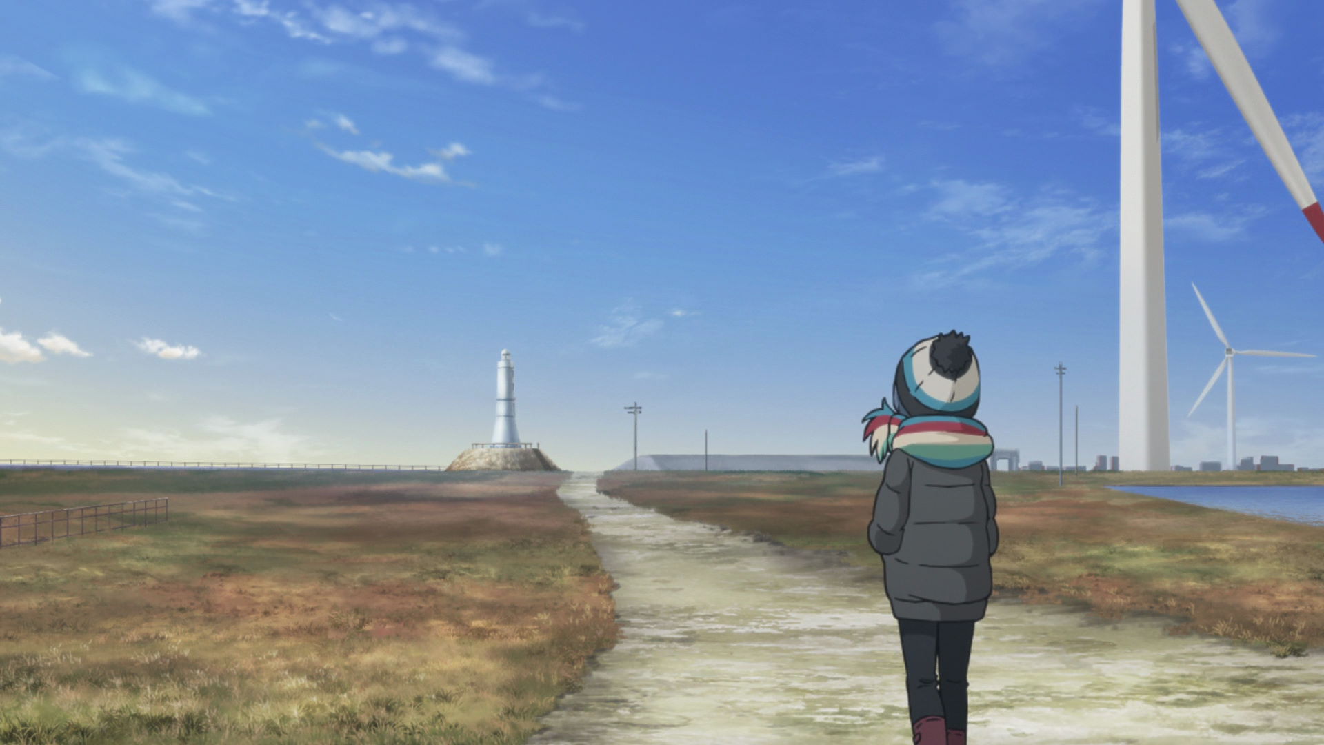
Kaketsuka Lighthouse Capture Point
Face the lighthouse from this direction while including the windmill in your shot.
View in OpenStreetMap View in Google Maps
Kaketsuka Lighthouse
Rin stops here to take in the beautiful scenery of the place. She also saw a very small part of Mt. Fuji from this location.
It may be possible to see Mt. Fuji on a very clear day.
Fukudakaigan Parking Lot
Rin parks her moped in this area. It was parked in front of a sign.
View in OpenStreetMap View in Google Maps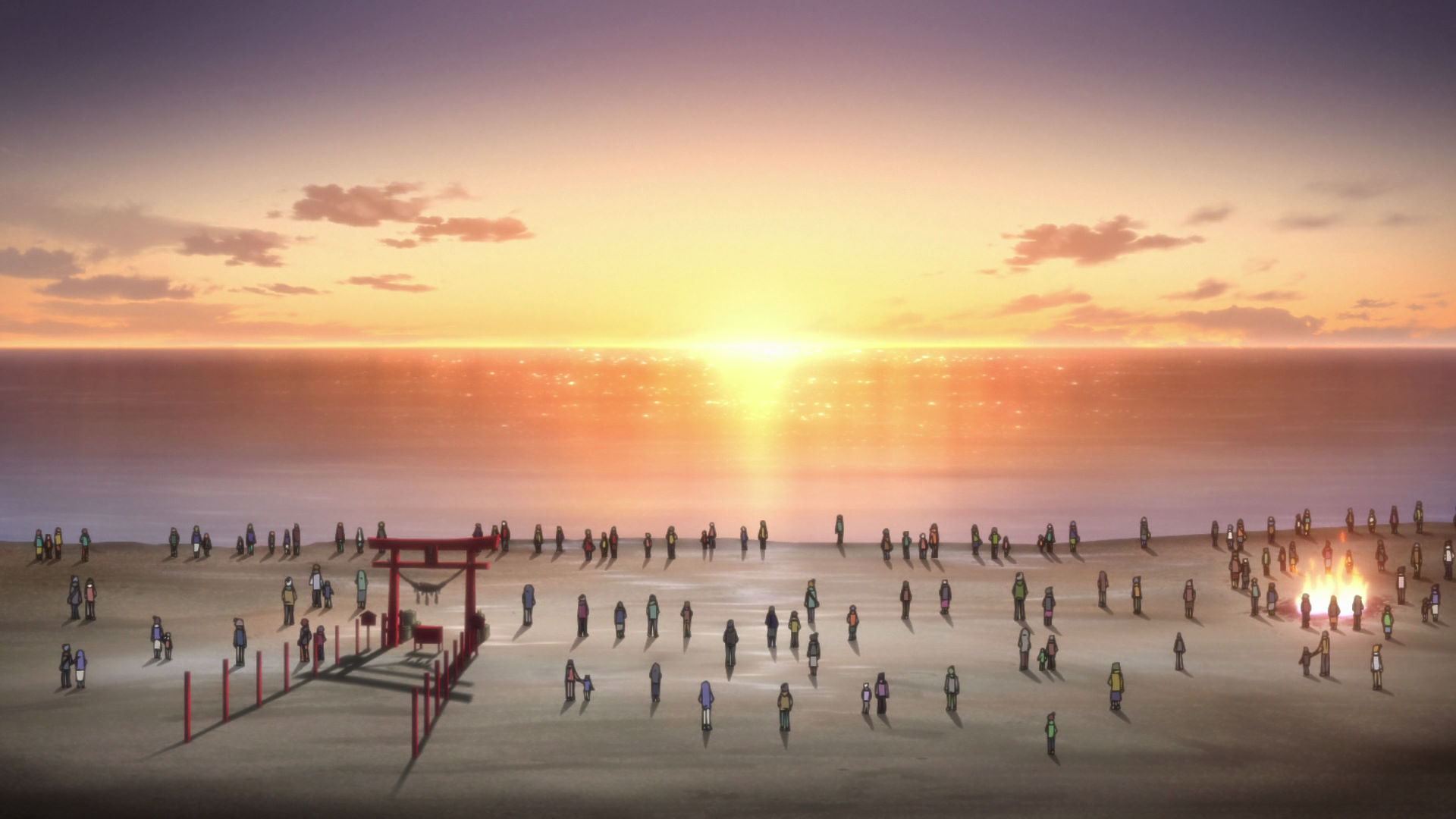
Fukude Coast
During New Year's Eve, a Torii Gate is erected on the beach. The Torii gate on the beach is aligned with the sunrise over the horizon, making for an amazing photo for the New Year.
There may also be people giving out mochi during New Year. Rin got a lot.
Mt. Minobu Ropeway Kuonji Station
This is the station at the lower part of the mountain where Aoi, Akari, Chiaki, and Toba-sensei used to get to the temple at the upper part of the mountain.
Yuru Camp△ promotion available here!
Mt. Minobu Ropeway Okunoin Station
This is the station at the upper part of the mountain where Aoi, Akari, Chiaki, and Toba-sensei used to get to the temple at this side of the mountain.
Yuru Camp△ promotion available here!
Mt. Minobu Observation Deck
This capture point has the Mt. Minobu sign and viewing binoculars seen in the anime.
View in OpenStreetMap View in Google Maps
Staircase to Temple Capture Point
Facing the top, this place has the same view as in the frame in the anime.
View in OpenStreetMap View in Google Maps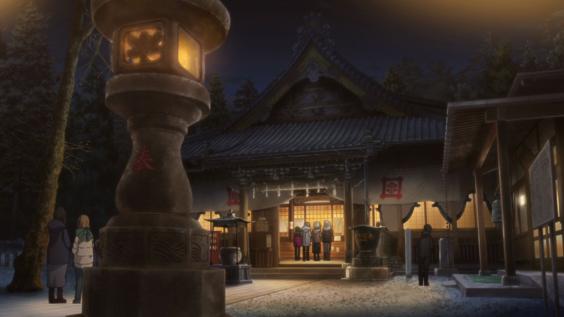
Kuonji Temple
This is the Temple where Aoi, Akari, Chiaki, and Toba-sensei went for their New Years shrine visit.
Official Site (JP) View in OpenStreetMap View in Google Maps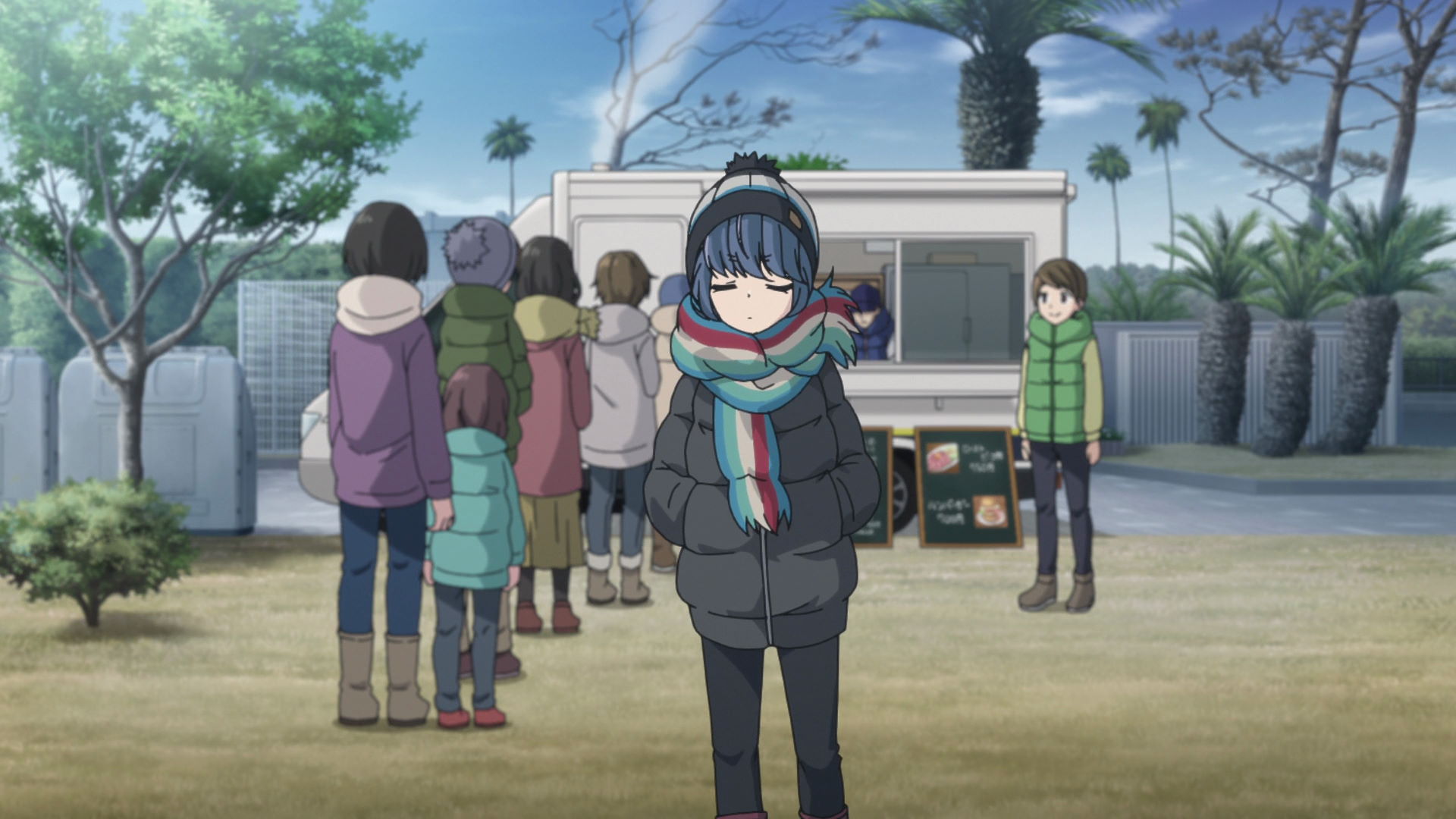
pizza NAO
This is the store that owns the truck where Rin bought pizza from. If the truck is not at the campgrounds, you can just come here and taste for yourself.
Rin ordered a Margherita and pot-au-feu.
Diamond Fuji Spot Parking Lot
This is the place where Toba-sensei rushed to get to in order to witness the Diamond Fuji event.
The capture spot is just a few meters south from this location.
Surprise Camping and Some Deep Thoughts
Windmill and Small Bridge Capture Point
This is where Rin drove through with her moped as she moves to another camping ground. Include the blue and white sign, the two windmills visible in the frame, and the convex mirror below one of the electric posts.
View in OpenStreetMap View in Google Maps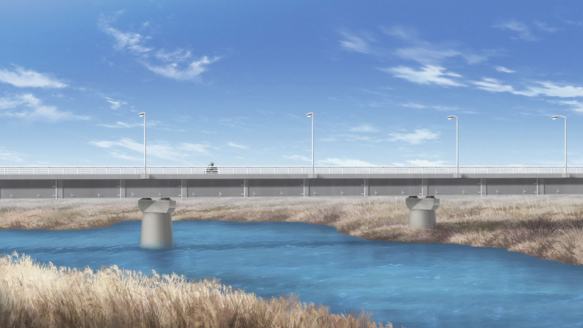
Enshuo Bridge Capture Point
A zoom lens may be needed for this capture point.
This is the point in Enshuo bridge where Rin is seen driving on. Do not capture the whole bridge. Just include the two bridge piers from the island across.
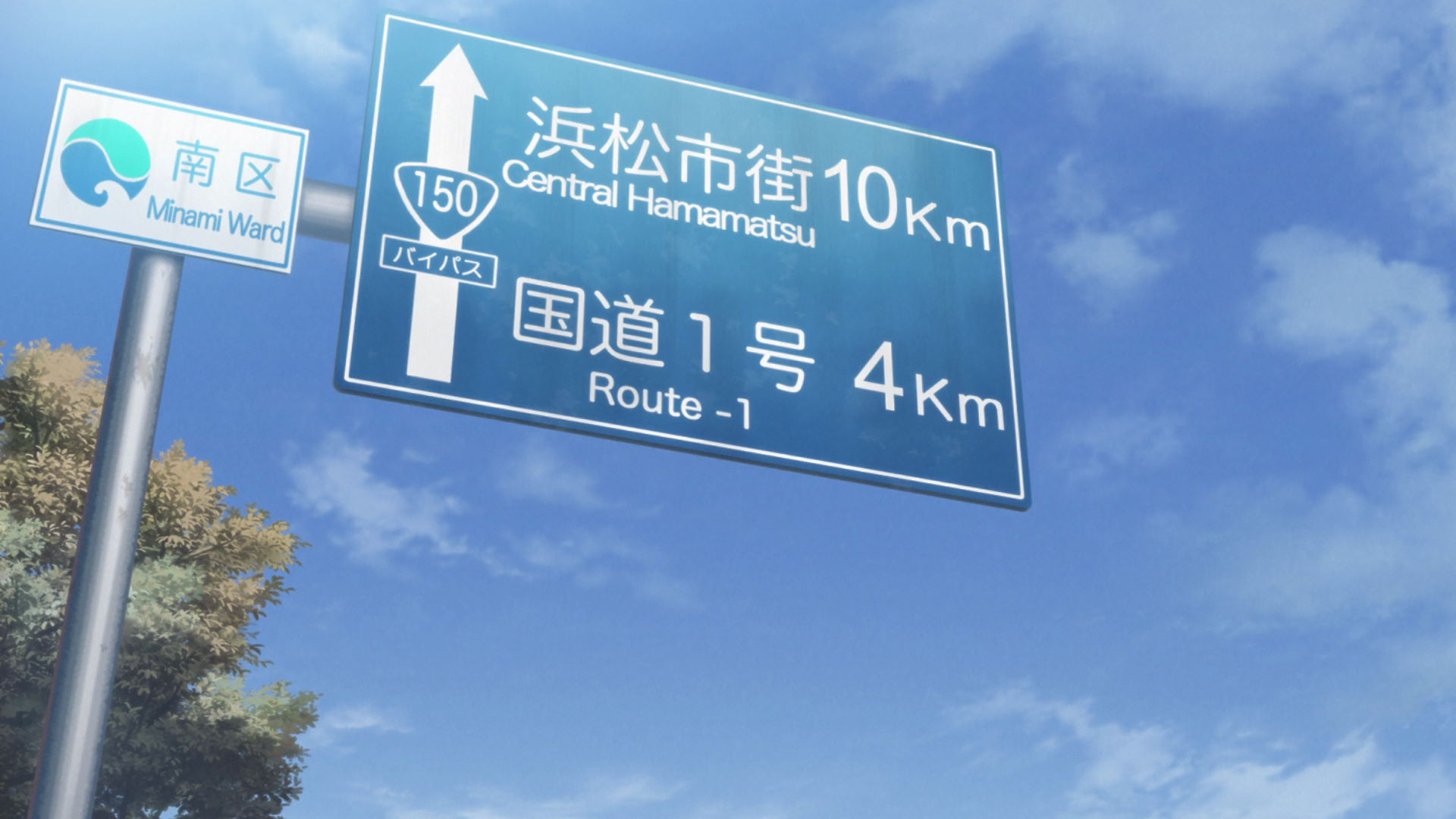
Minami Ward Route 150 Sign
This is the sign where Rin drives under as she drives to another campground.
View in OpenStreetMap View in Google Maps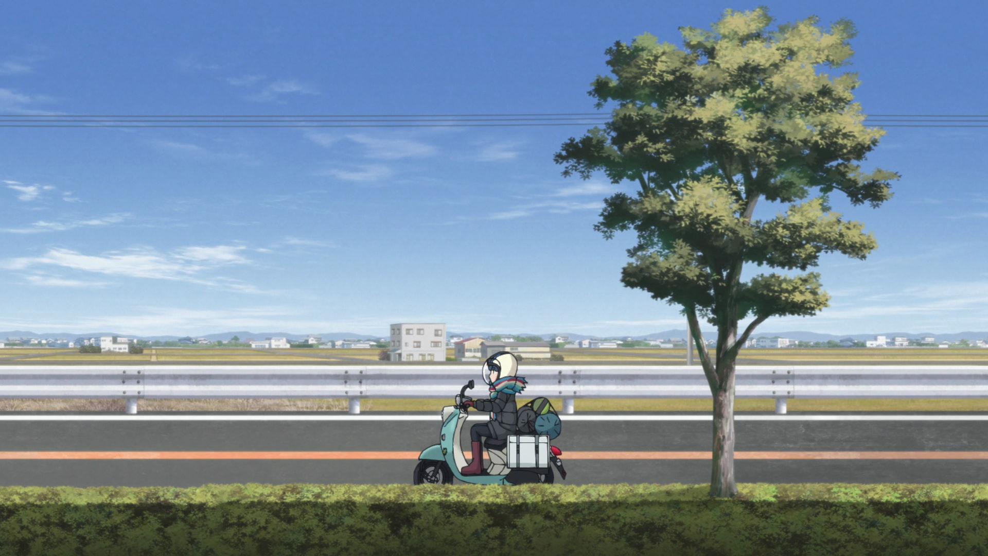
Minami Ward Route 150 Field Buildings
These buildings are the basis for the building found in the anime along Route 150.
View in OpenStreetMap View in Google Maps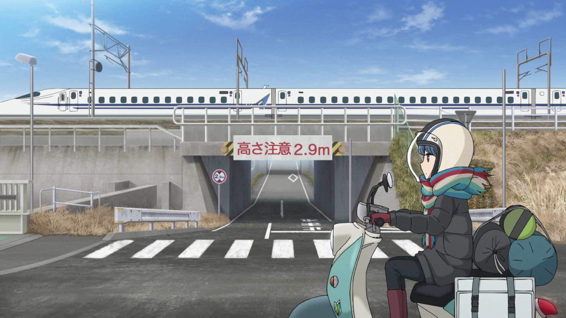
Tokaido-Shinkansen Line 2.9-Meter Tall Underpass
Rin drives through this spot on her way to the Nagisaen Camping Grounds.
View in OpenStreetMap View in Google Maps
Benten Bridge
Rin drives through this spot on her way to the Nagisaen Camping Grounds.
View in OpenStreetMap View in Google Maps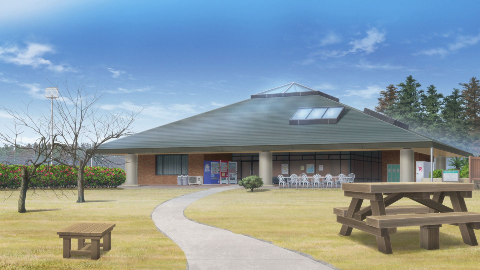
Nagisaen Camping Ground
This is where Rin camped for the night to meet up with Nadeshiko the next day.
Official Site (JP) View in OpenStreetMap View in Google Maps
Nagisahashi Bridge Capture Point
This is where Rin drive through after she checks in at the Nagisaen Camping Grounds. Inluced the two lamp posts on the left side when taking a photo.
View in OpenStreetMap View in Google Maps
Hamamatsu City Maisaka Omotehama Parking Lot
This is where Rin parks her moped to visit the beach under the Hamanao Bridge.
View in OpenStreetMap View in Google Maps
Hamanao Bridge Pathway
This is the road Rin used to get to the beach. The right-most visible part of the bridge must benear the very left part of the frame in a disappearing-like composition. Include a little bit of the stair railings too.
View in OpenStreetMap View in Google Maps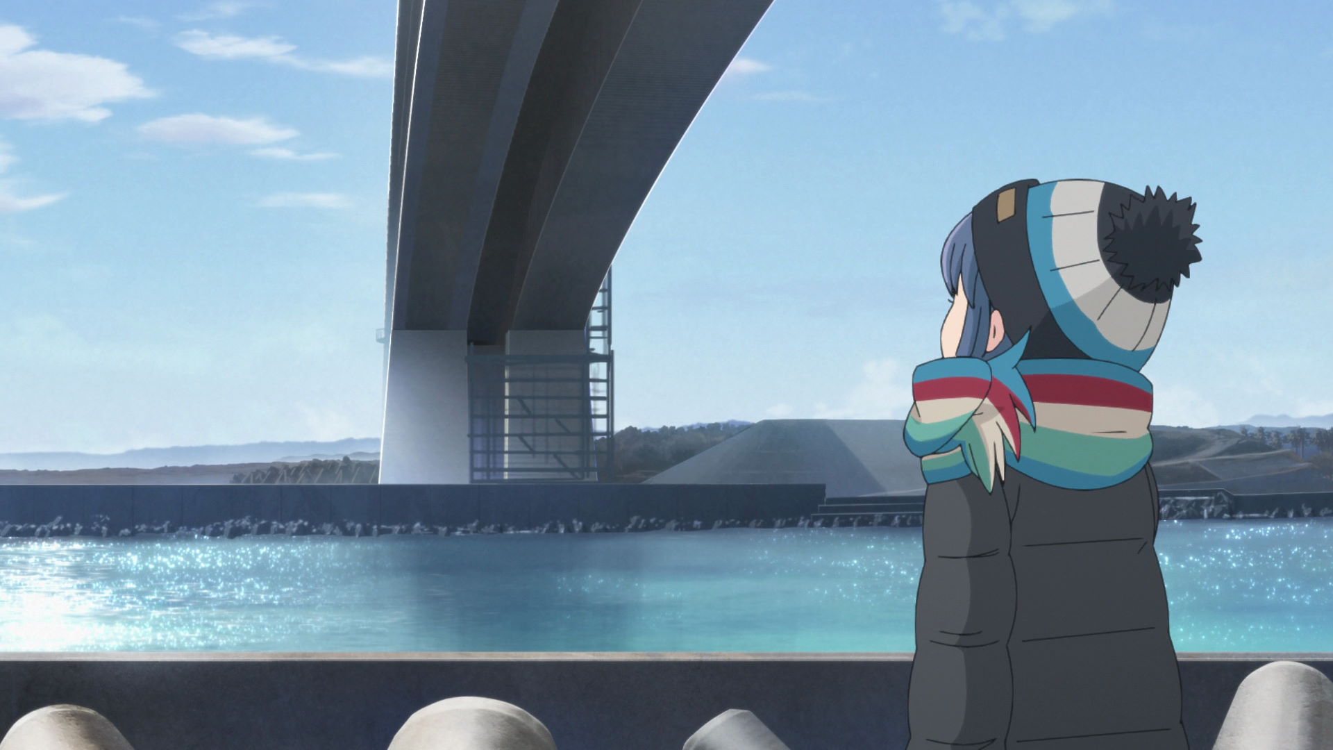
Under the Hamanao Bridge
Take a photo if the pylon across the water from this location.
View in OpenStreetMap View in Google Maps
Ima-Kiriguchi Maisaka Tsutsumi
This is where Rin sets up her low chair and reads a book.
View in OpenStreetMap View in Google Maps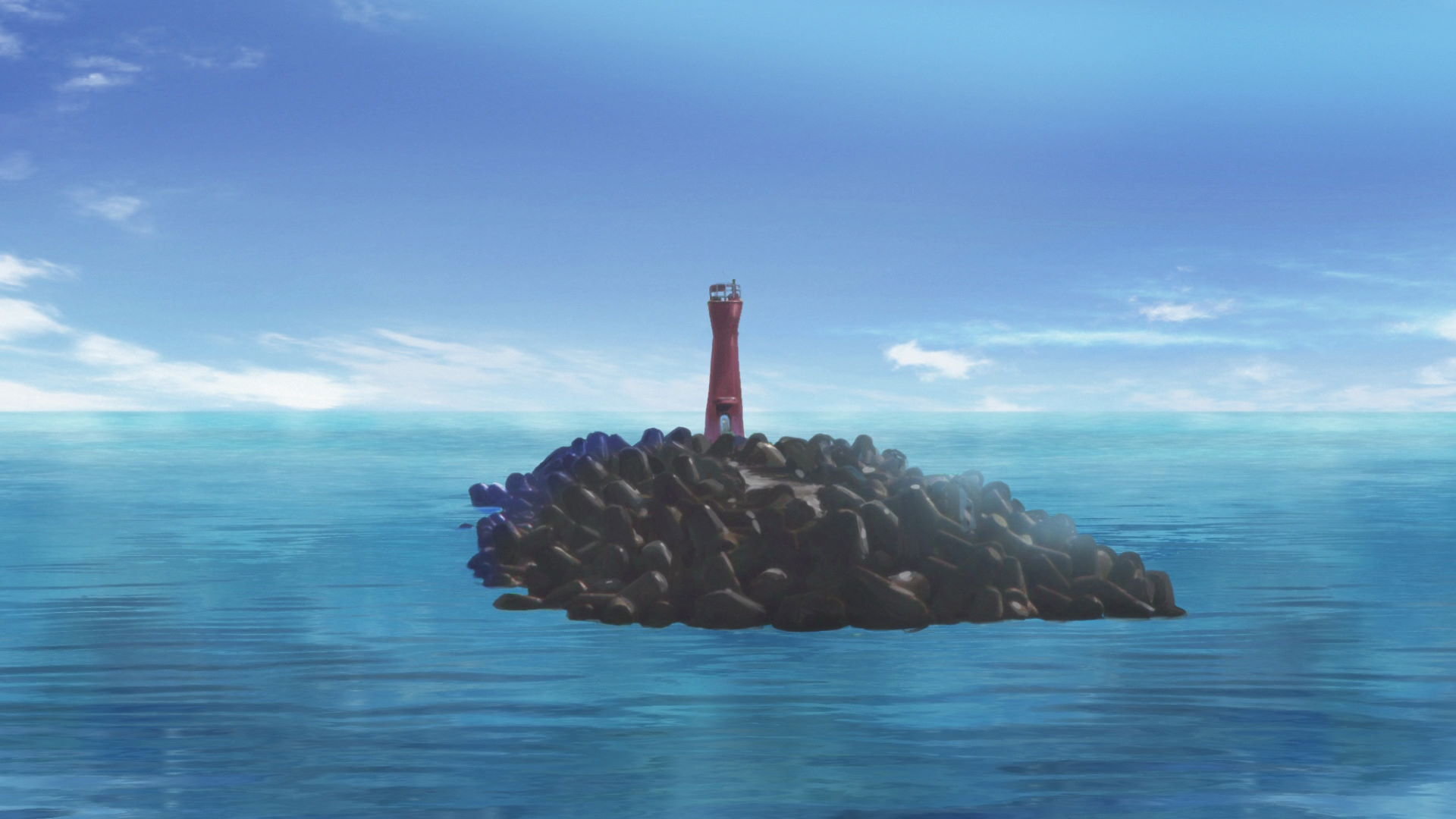
Lake Hamana Imakiri Red Light Stand
This location was seen in a cutscene from the anime.
View in OpenStreetMap View in Google Maps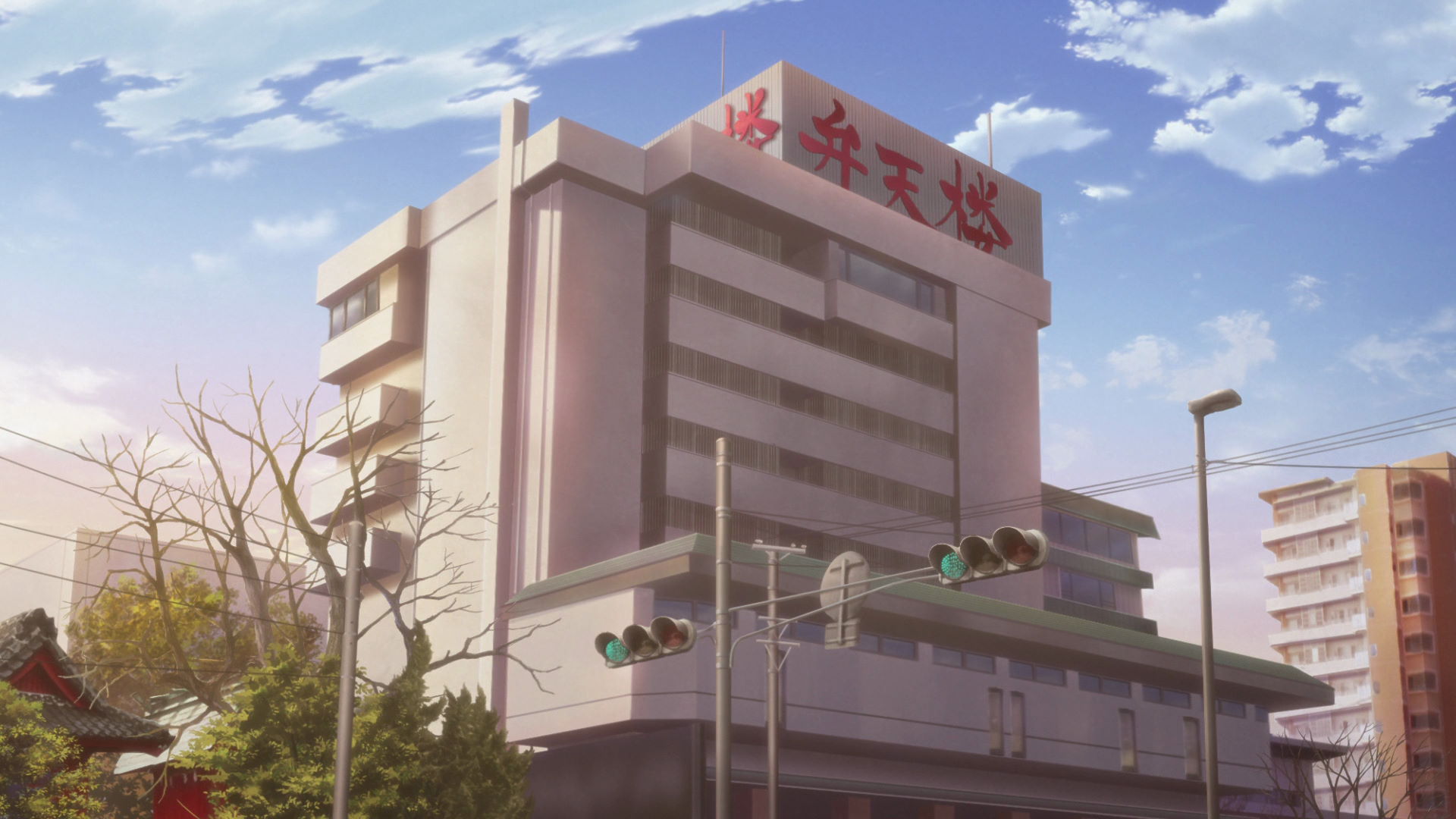
Kaishunro
This is where Rin took a bath after visiting the Hamanao Bridge.
View in OpenStreetMap View in Google Maps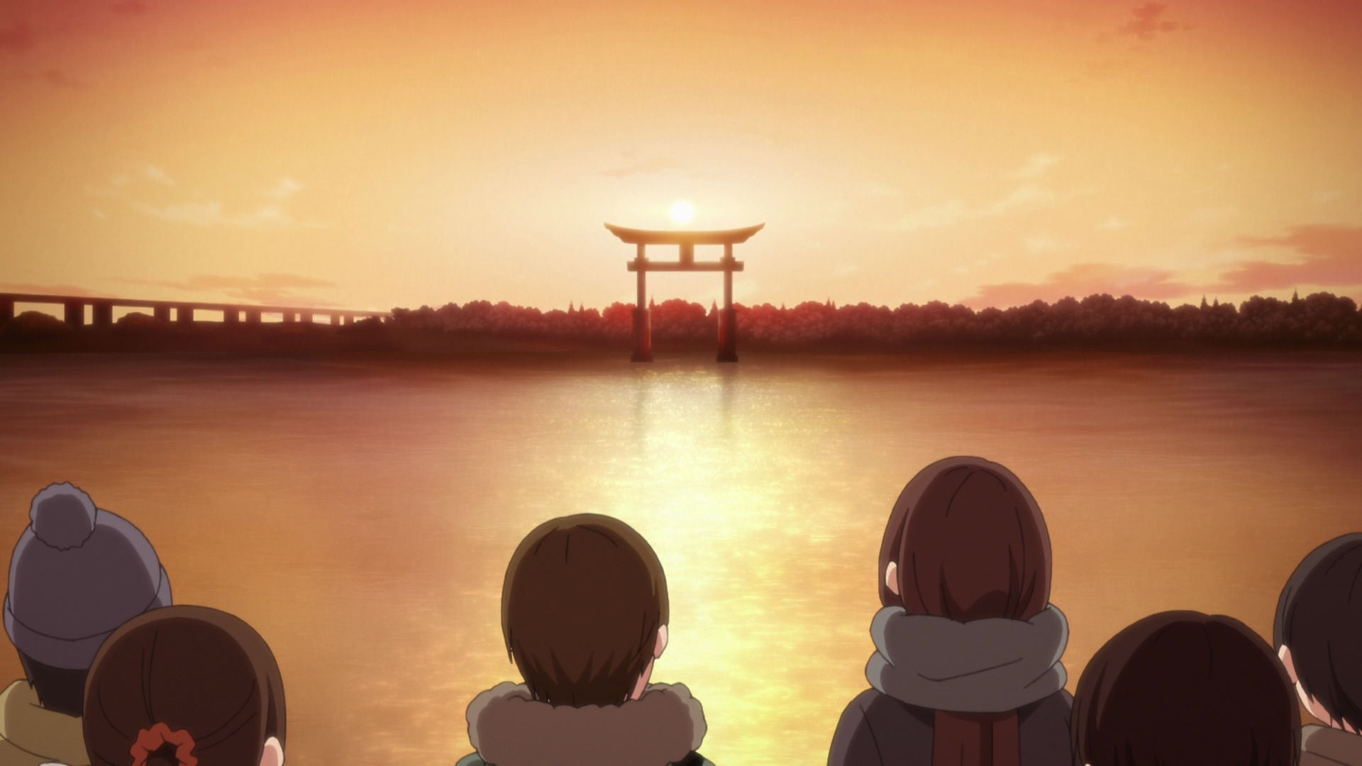
Bentenjima Red Torii Gate
This is the Torii gate where Rin watched the sun set over.
Official Site {JP) View in OpenStreetMap View in Google Maps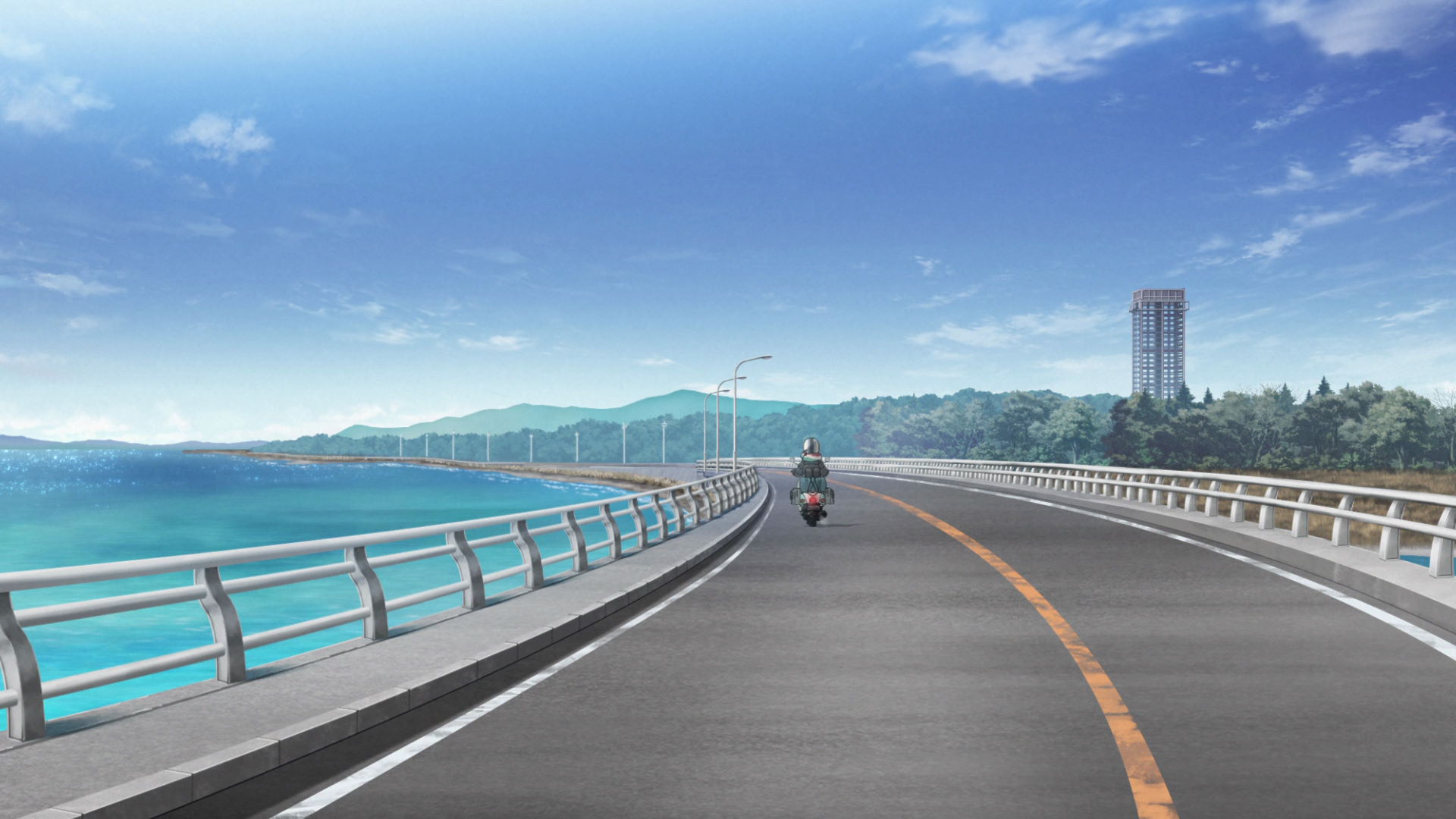
Hamanako Bridge Capture Point
Rin drives through here as she heads North to buy Ichigo Kirameki.
View in OpenStreetMap View in Google Maps
Hamamatsu Street Sign Capture Point
This sign was featured in a cutscene in the anime.
View in OpenStreetMap View in Google Maps
Eel Restaurant Street Capture Point
The yellow building on the left was seen as Rin walks through the street filled with eel restaurants.
View in OpenStreetMap View in Google Maps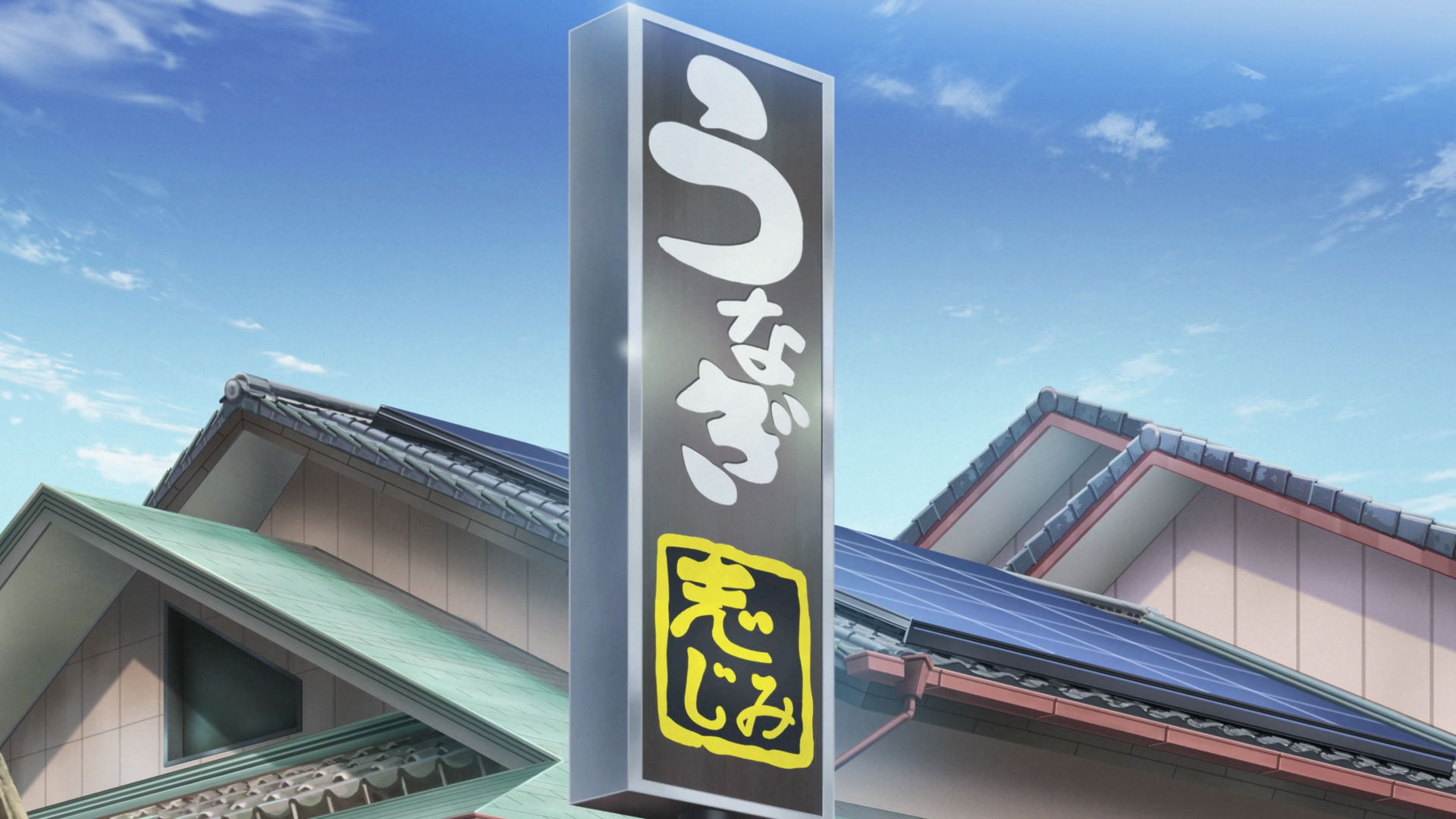
Shibuki
The sign of this buiding was seen in the anime as the temptation to Rin's wallet. She didn't fall for it though.
Official Site (JP) View in OpenStreetMap View in Google Maps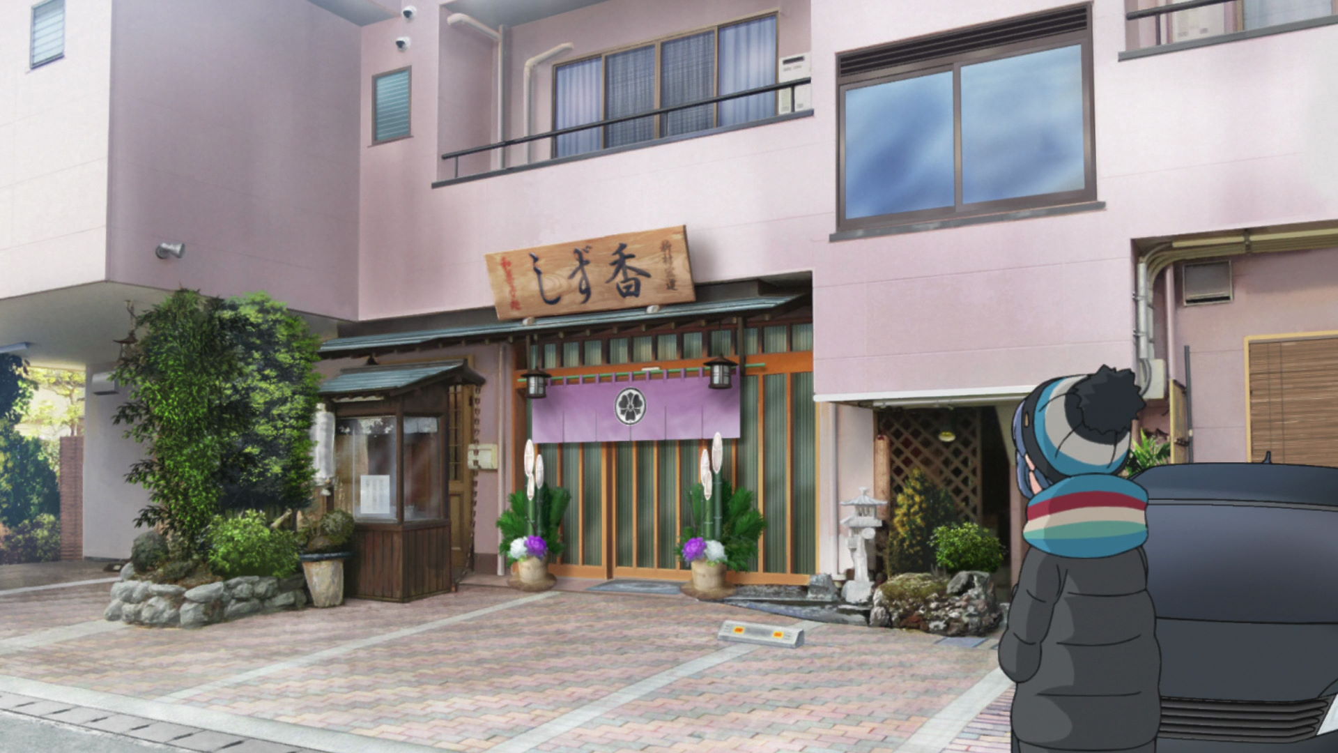
Shizuka Confectionery Shop
This is the shop where Rin bought Ichigo Kirameki. If you arrive before they open, get a number to reserve a spot before the product is sold out!
Yuru Camp△ promotion available here!
Fujitaya
Nadeshiko bought two cream bread-like products from this shop before proceeding to the nearby train station
Yuru Camp△ promotion available here!
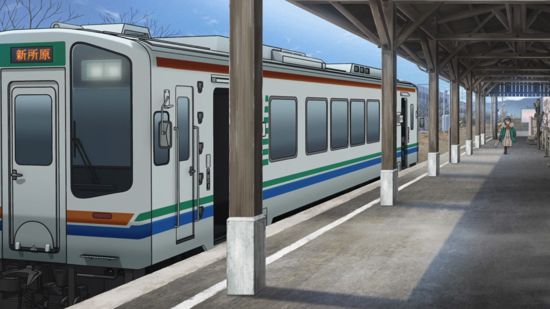
Kiga Station
Nadeshiko rides a train here to the Hamanako-Sakume Station.
View in OpenStreetMap View in Google Maps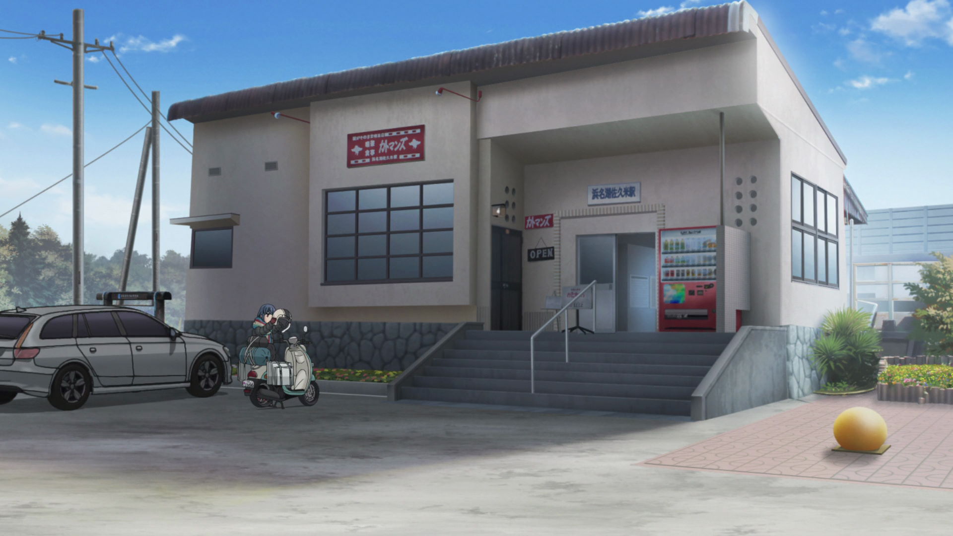
Hamanako-Sakume Station
This is where Rin and Nadeshiko met. There are also lots of birds that loiter in the station to the point where you can see them from satellite-based maps
View in OpenStreetMap View in Google Maps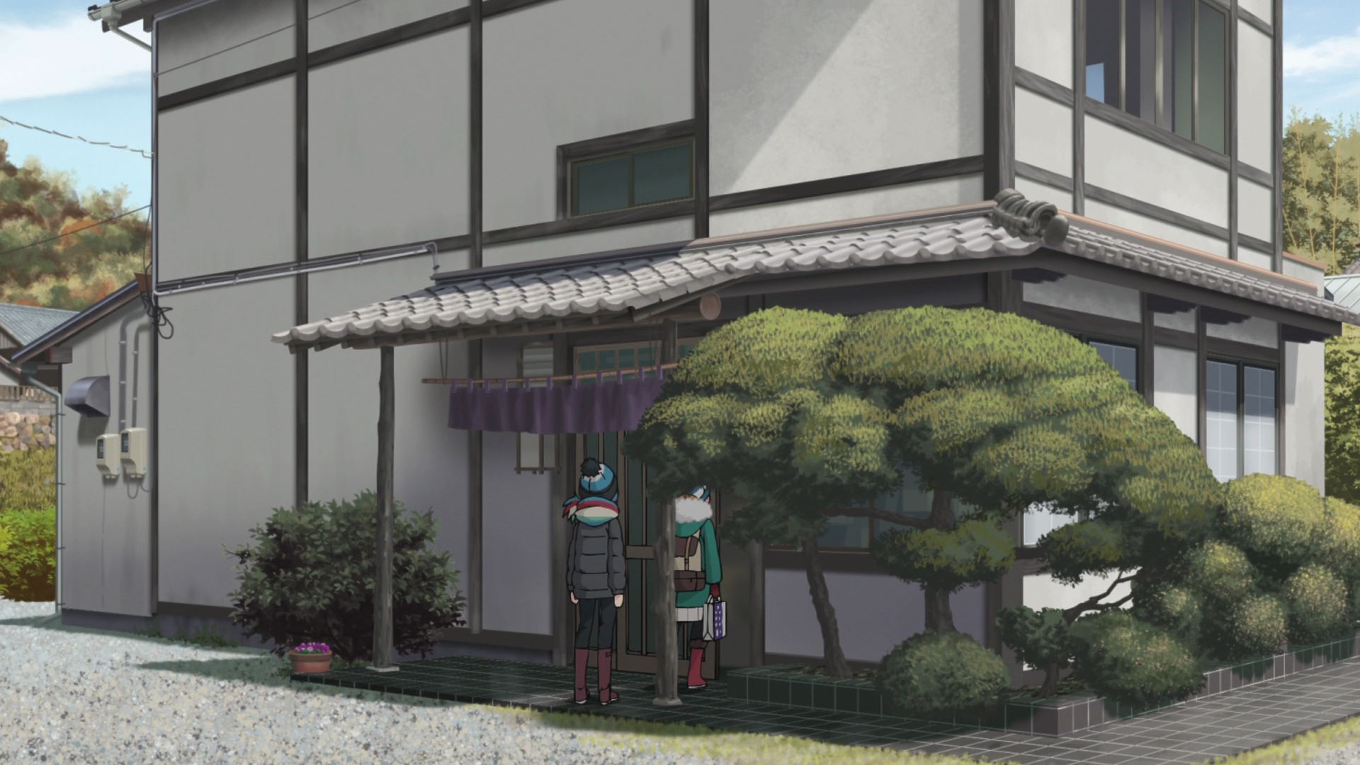
Sakume
This is where your wallet will suffer a violent death as Nadeshiko ordered two top-grade unagi (eel) worth ¥4,000 each. Based on their reactions, the price was worth the meal. Even Rin said she'll return to Laka Hamana just to eat the unagi.
Yuru Camp△ promotion available here!
Tenryu-Hamanako Railway Crossing Capture Point
Face the North and take a photo of the road under the Tomei Expressway. Include the two poles directly to the side of this point.
View in OpenStreetMap View in Google Maps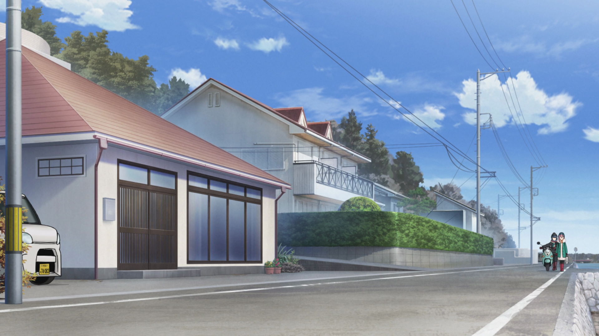
Nadeshiko's Grandma's House
This is where Nadeshiko and her Grandma lives! It's an empty lot in real life though.
View in OpenStreetMap View in Google Maps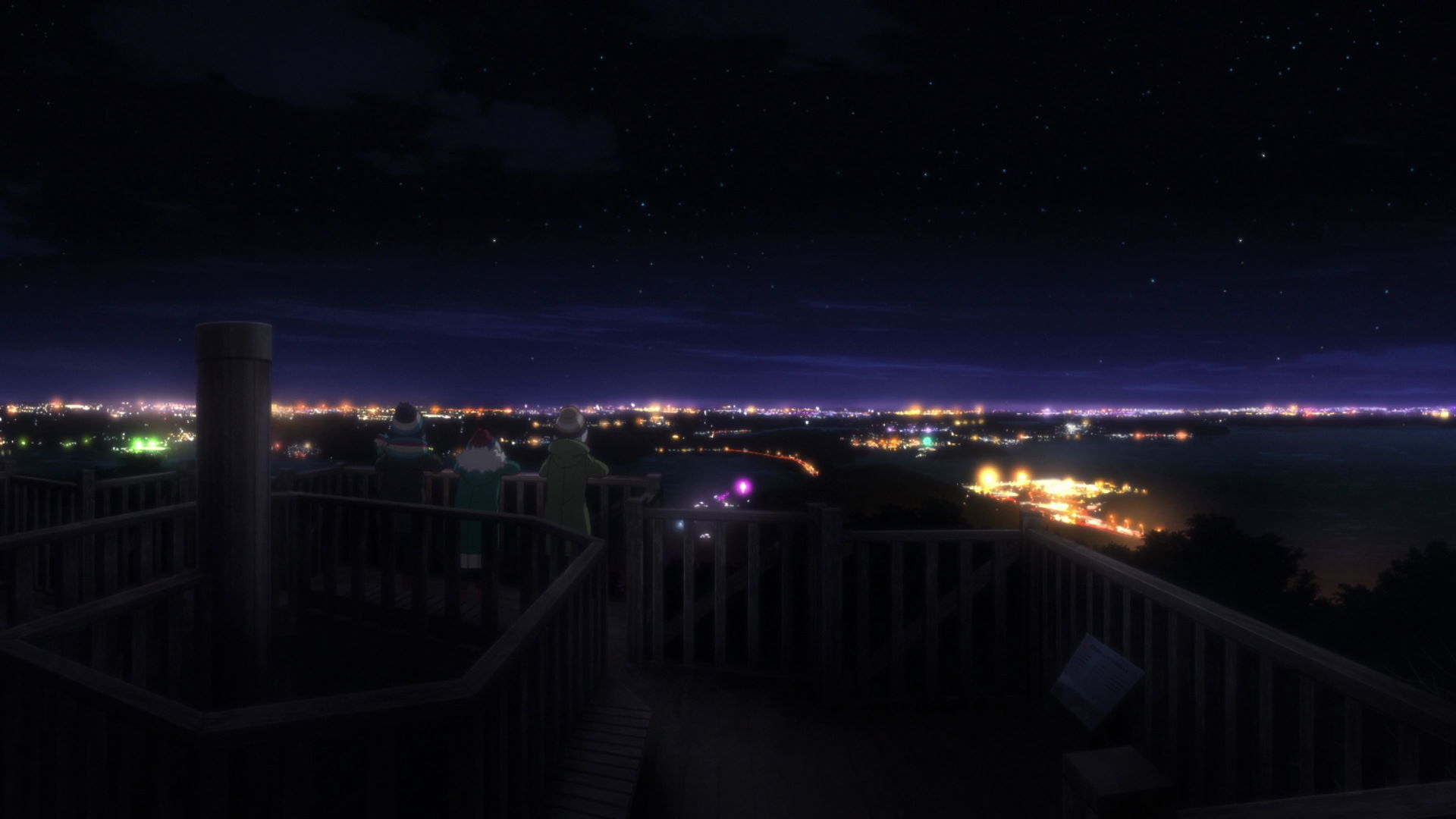
Lake Hamana Observatory Ruins
This is where Rin, Nadeshiko, and Ayano went at night to see the amazing night view of the entire Lake Hamana area.
Unfortunately, the observatory has been removed and only it's foundations remain. Though you will get a similar view if you use a drone especially at night.
What Are You Buying With Your Temp Job Money?
There are no new locations in this episode!
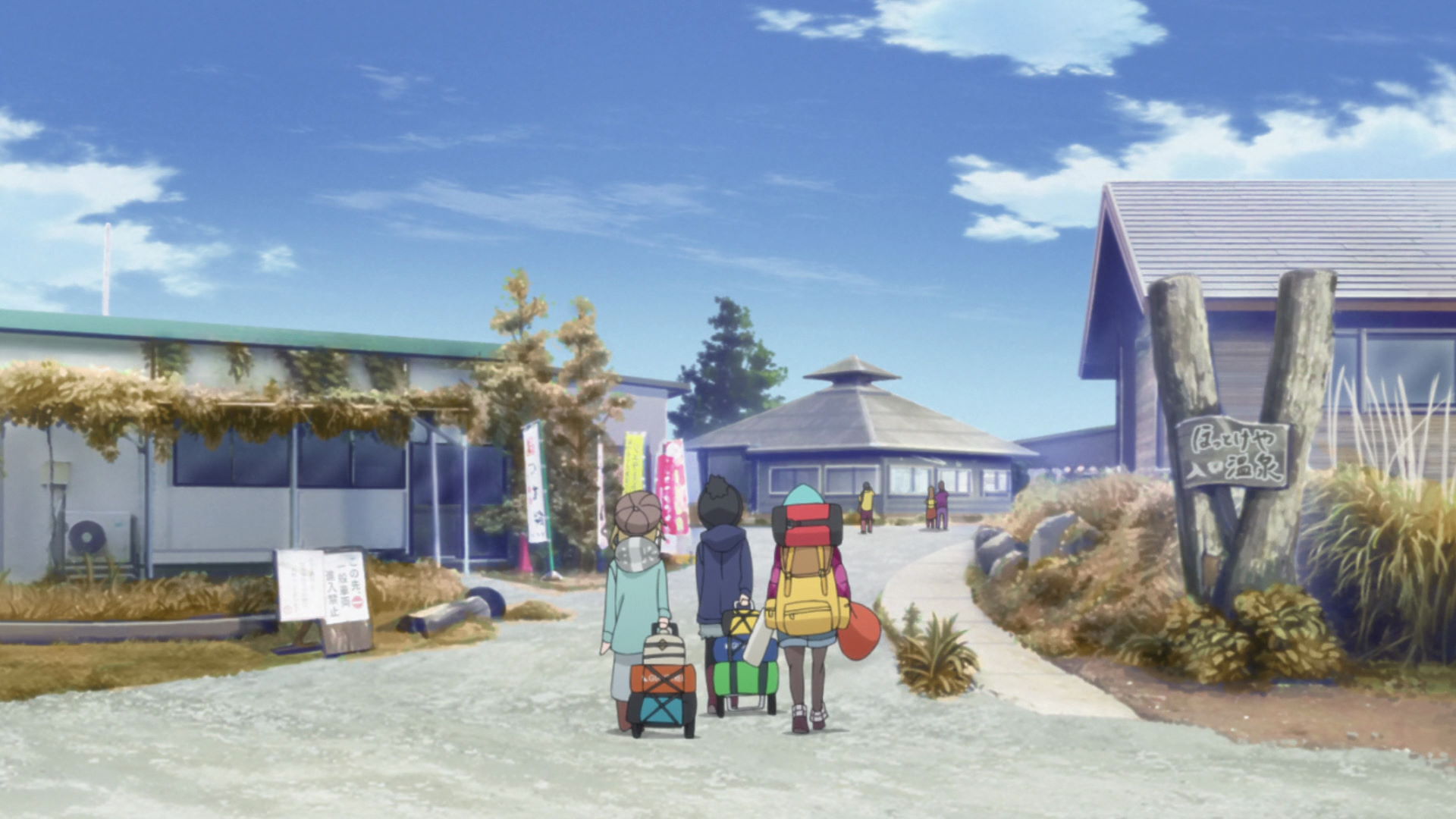
Caribou-kun and Lake Yamanaka
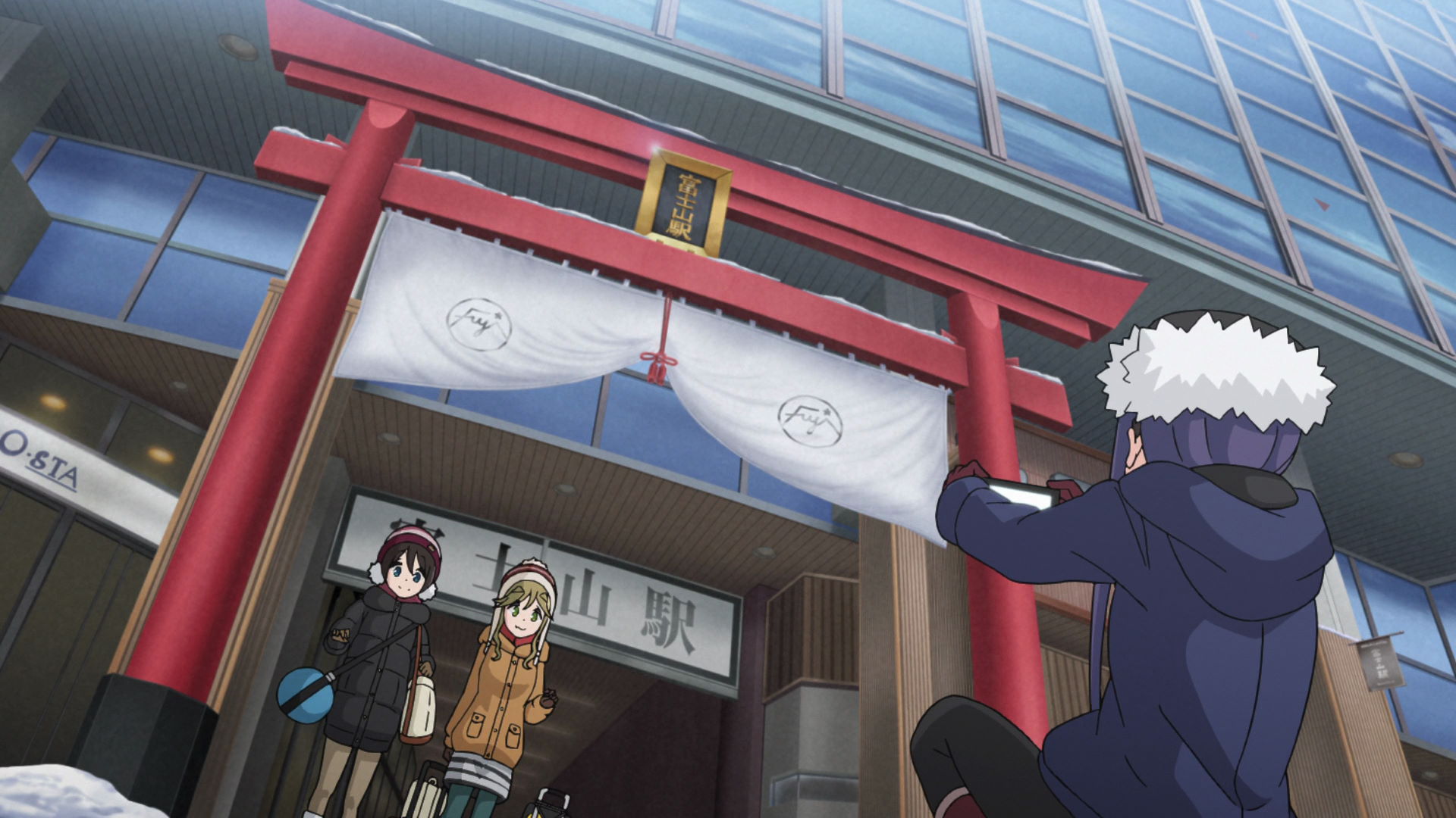
Mt. Fuji Station
Aoi, Chiaki, and Ena arrives here, for their Lake Yamanaka camping trip.
The Torii gate capture point is located at the North entrance to the building.
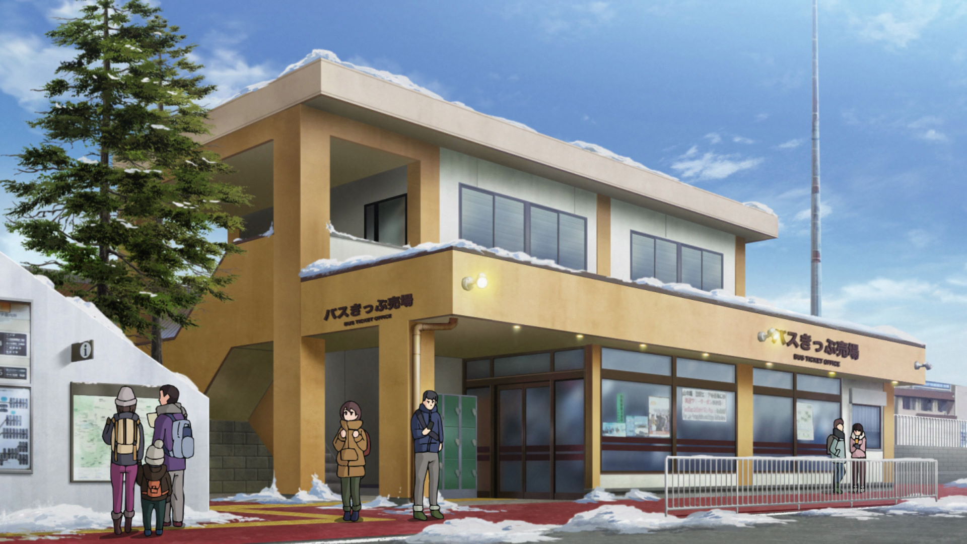
Hataorimachi Information Center
This is where Aoi, Chiaki, and Enagot tickets to use the buses in the area as much as they want for two days.
View in OpenStreetMap View in Google Maps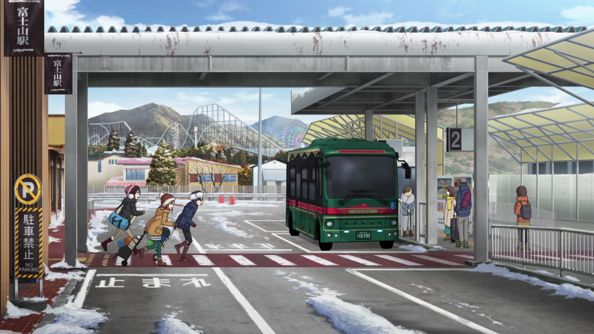
Mt. Fuji Station Bus Stop
Aoi, Chiaki, and Ena rush to the bus before they get left behind.
View in OpenStreetMap View in Google Maps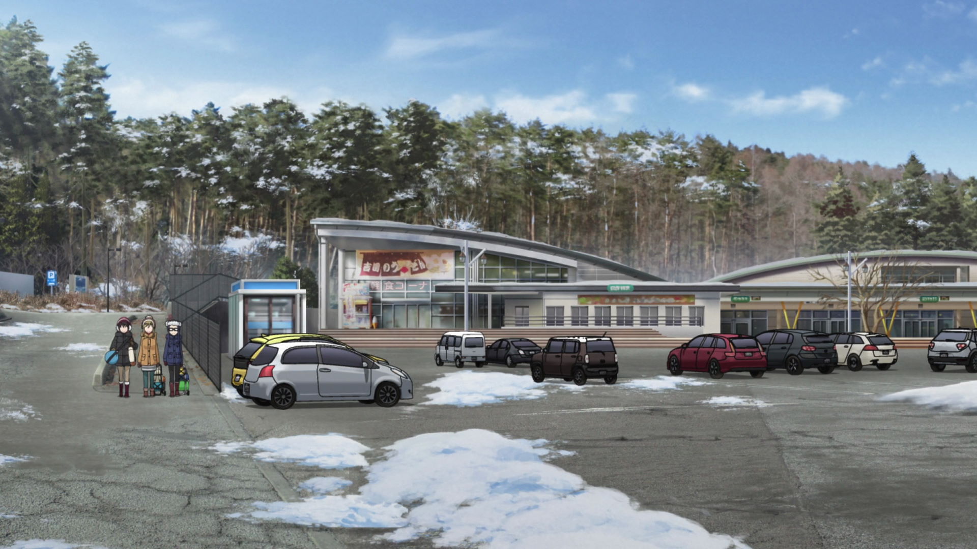
Mt. Fuji Radar Dome Waystation
Aoi, Chiaki, and Ena arrive in this waystation before going to Caribou.
View in OpenStreetMap View in Google Maps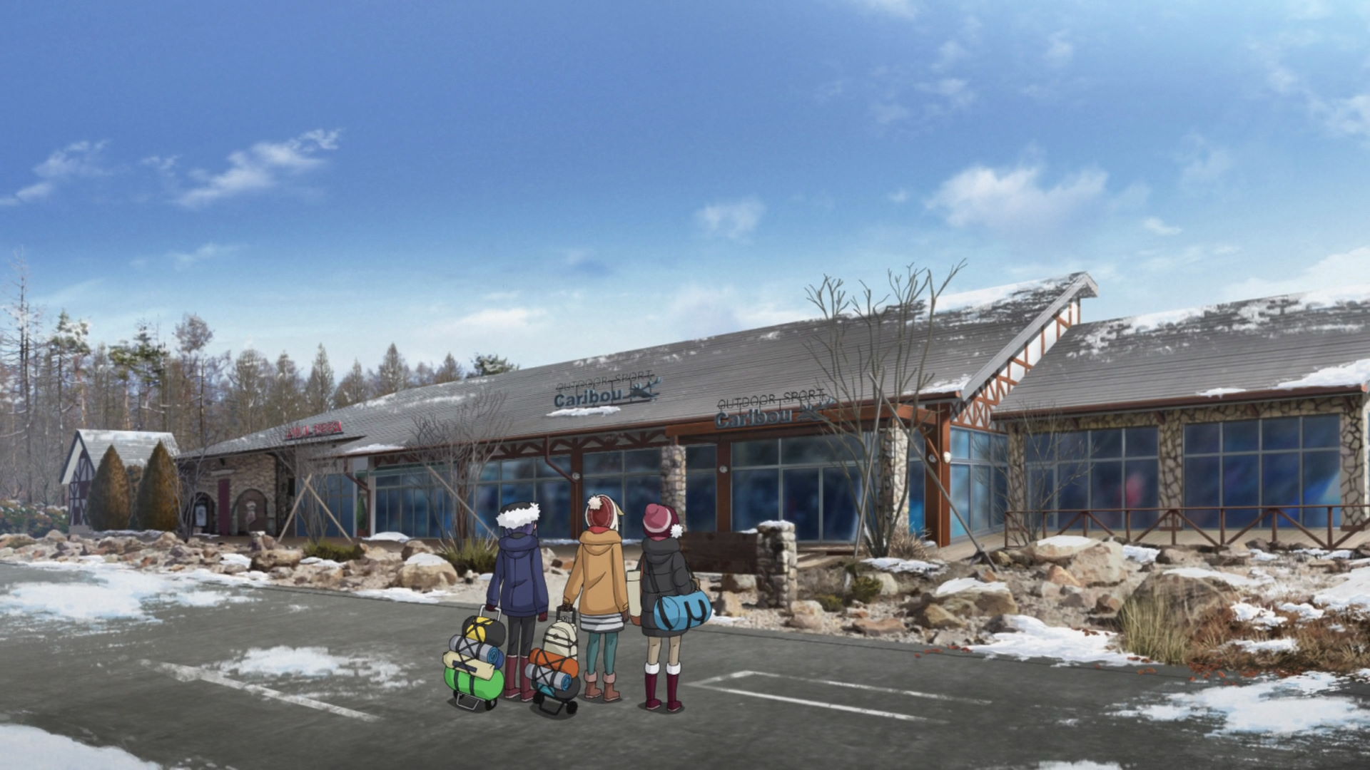
Montbell
This shop was the basis of the design of the Caribou Outdoor Shop in the Mt, Fuji Radar Dome Waystation.
Official Site (JP) View in OpenStreetMap View in Google Maps
Yamanakako Onsen Benifuji no Yu Hot Spring
This is where Aoi, Chiaki, and Ena had their bath on their camping trip. Their open-air bath has a great view of Mt. Fuji, though you might not be able to bring a camera in since it's a bath.
Aoi and Chiaki bought Kinako Rice Cake and Ice Cream while Ena bought Matcha Ice Cream.
Yuru Camp△ merchandise and promotion available here!
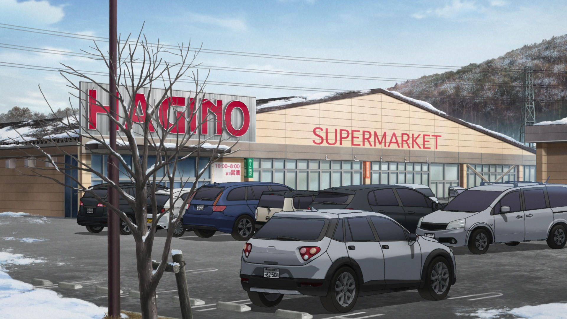
Ogino
This is where Aoi, Chiaki, and Ena bought food to cook for the night at the Lake Yamanaka Campgrounds.
Yuru Camp△ promotion available here!
Seria
This is where Aoi, Chiaki, and Ena bought cooking tools for their camp dinner.
Official Site (JP) View in OpenStreetMap View in Google Maps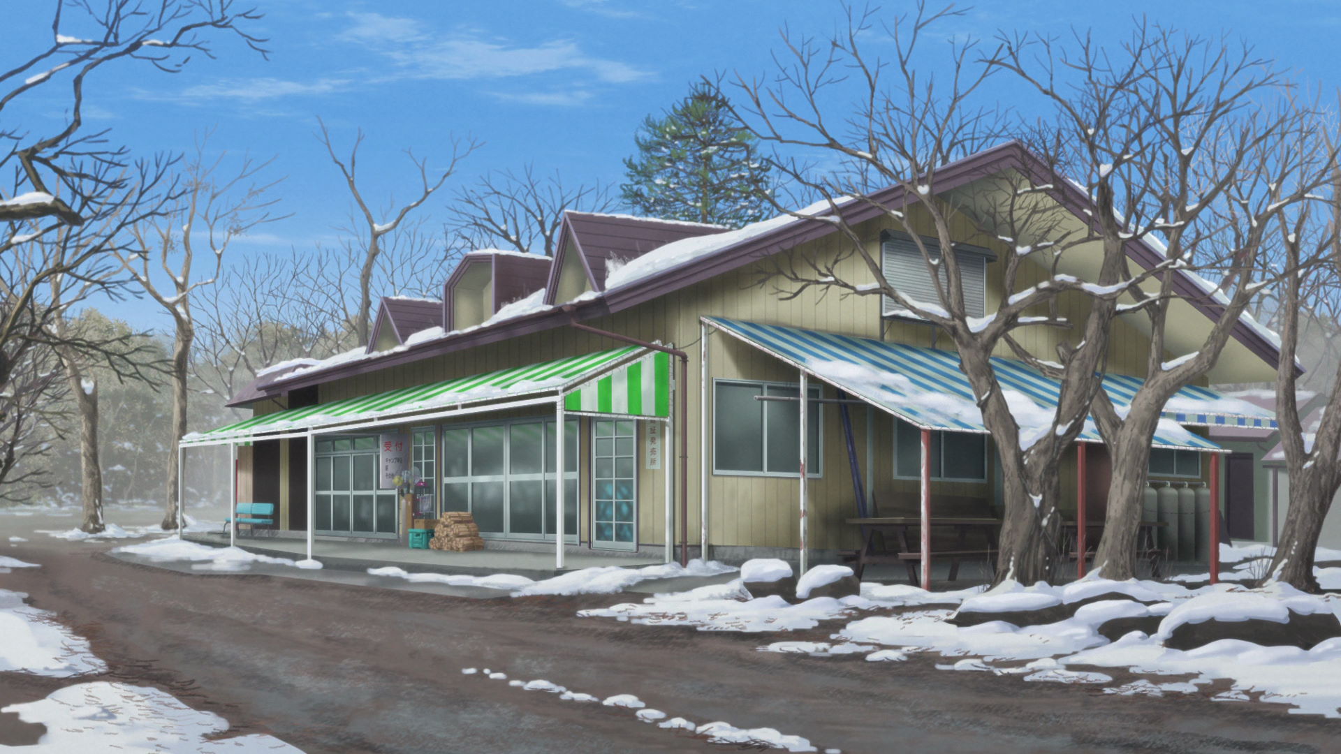
Misaki Campsite
This is where Aoi, Chiaki, and Ena failed to spend the night in their tent due to improper equipment against the cold and not checking the weather beforehand.
Official Site (JP) View in OpenStreetMap View in Google MapsCape Ohmama in Winter
Misaki Campsite Tent Location
This is where Aoi, Chiaki, and Ena pitched their tents for the night.
View in OpenStreetMap View in Google Maps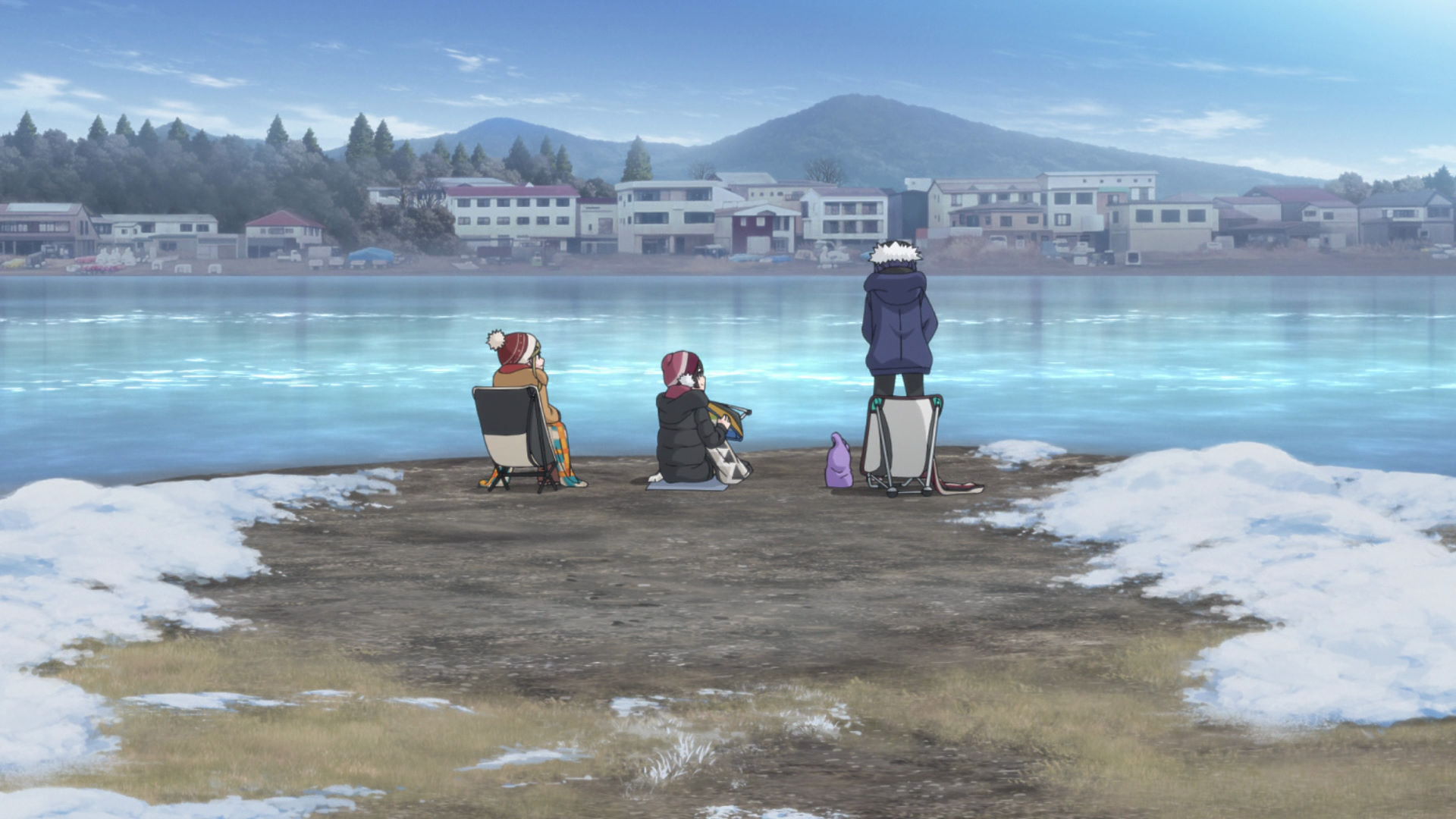
Misaki Cape Point
Aoi, Chiaki, and Ena relax here while watching RC pilots fly their aircraft.
View in OpenStreetMap View in Google MapsNadeshiko's Solo Camp Planning
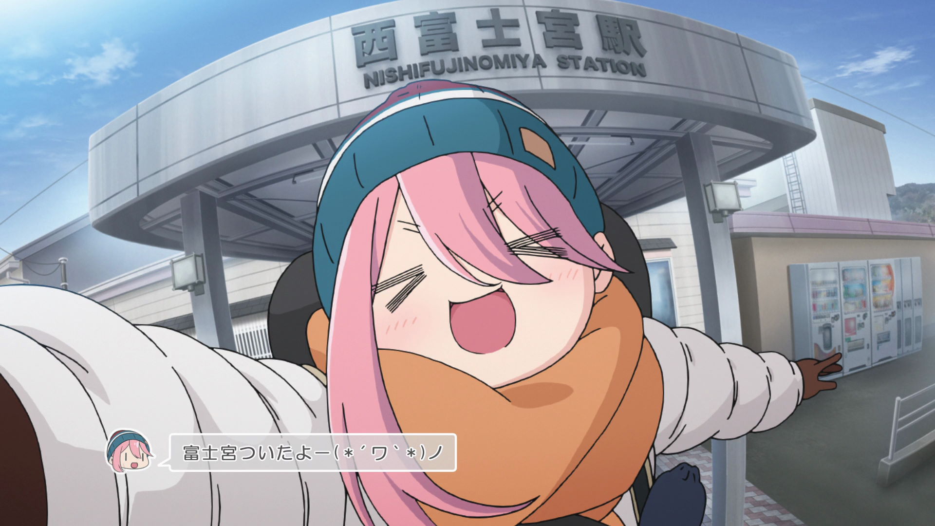
Nishi-Fujinomiya Station
This is where Nadeshiko got off and heads towards to the Nadeshiko Torii Mt. Fuji in Shizuoka Capture Point.
View in OpenStreetMap View in Google Maps
Shimizu-ya Cafe
Rin bought mamemochi and amazake from this cafe.
Yuru Camp△ promotion available here!
Nadeshiko Torii Mt. Fuji in Shizuoka Capture Point
Take a photo on the left side of the Torii gate and include the blocky concrete marker and a thin metal pole on the right of it. Mt. Fuji ust be on the center with a small offset to the right.
View in OpenStreetMap View in Google Maps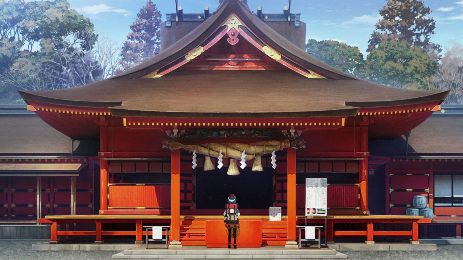
Fujisan Hongū Sengen Taisha
This is where Nadeshiko says her prayers for her first solo camp to be successful.
Official Site (JP) View in OpenStreetMap View in Google Maps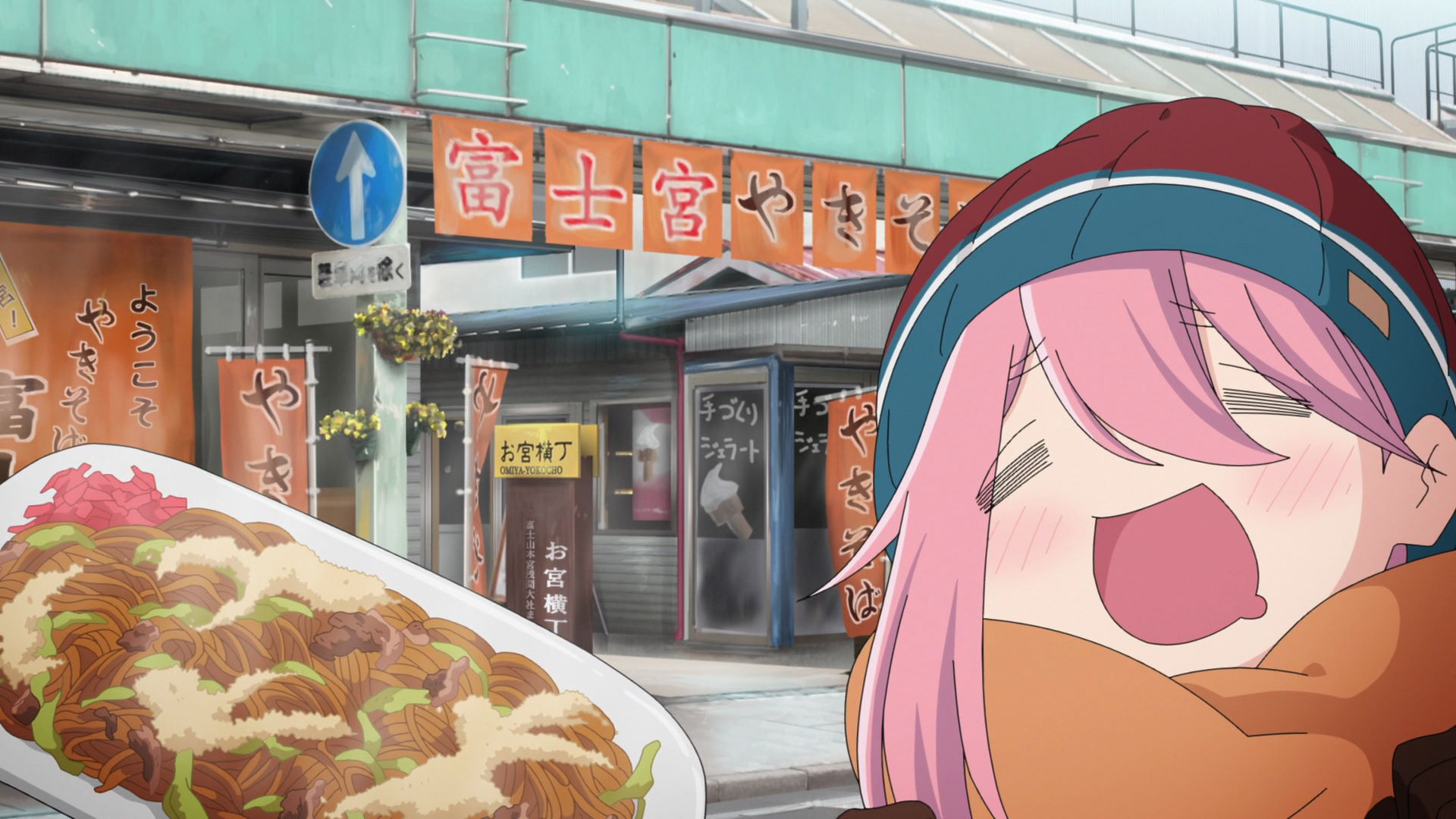
Fujinomiya Yakisoba Antenna Shop
This is where Nadeshiko was lured into after catching a sniff of yakisoba from the Mt. Fuji in Shizuoka Capture Point.
She didn't fall for the temptation and manages to proceed to the Shigure-yaki/Gomoku Shigure store.
Yushima's Great Cedar Tree
This is where Rin stops over during her camping trip across Hayakawa. She also spots a car similar to Nadeshiko's sister not realizing it was really Sakura's car.
Official Site (JP) View in OpenStreetMap View in Google Maps
Okonomiyaki Restaurant Ito
Nadeshiko ordered a Gomoku Shigure/Shigure-yaki and Oden from the counter seat.
Yuru Camp△ promotion available here!
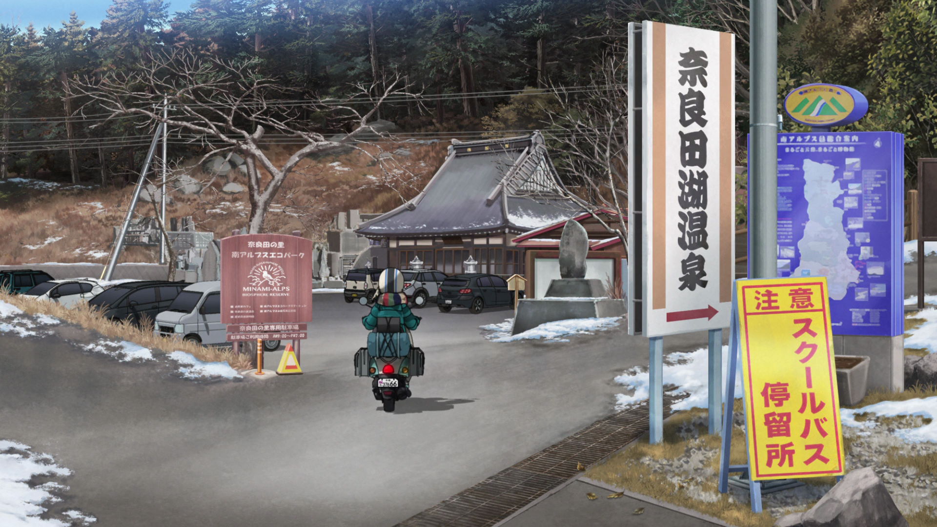
Naradanosato Hot Spring
This is where Rin stops by and realizes that the cars she spotted earlier was Sakura. She sneakily follows Sakura but then gets spotted after her phone vibrated. They both talk about the Moped Journey show and Nadeshiko going on her solo camp.
Official Site (JP) View in OpenStreetMap View in Google Maps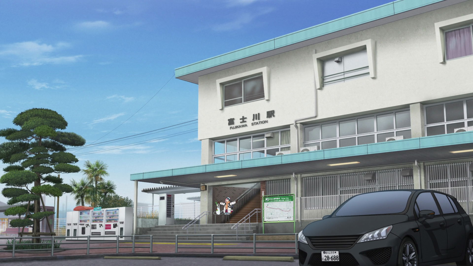
Fujikawa Station
This is where Nadeshiko leaves the train and starts the long walk to the campgrounds.
View in OpenStreetMap View in Google MapsCamping Alone

Nodayama Kenko Ryokuchi Park Fujikawa Campground
This is the campground of Nadeshiko's first solo camp. She meets and offered two little campers some food she cooked later that night.
Official Site (JP) View in OpenStreetMap View in Google Maps
Nodayama Kenko Ryokuchi Park Fujikawa Campground Nadeshiko Tent Location
This is the location where Nadeshiko pitched her tent during her first solo camp.
View in OpenStreetMap View in Google Maps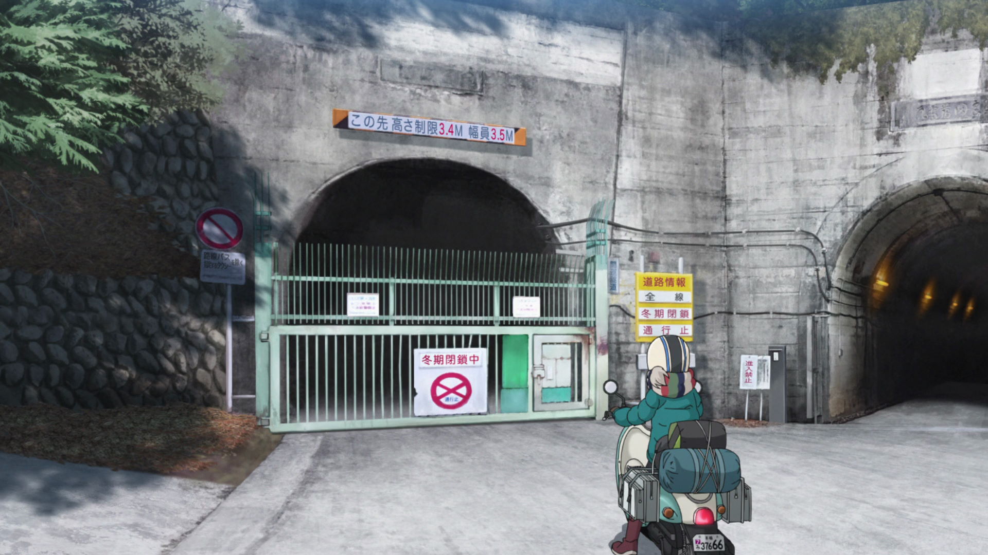
Kaiun Tunnel
This is where Rin stops to take in the wabi sabi aesthetic the tunnels gave out as they were closed in the anime.
View in OpenStreetMap View in Google Maps
Villa Amehata Road Capture Point
Face the Northwest and take a photo while including the small building and the tall one.
View in OpenStreetMap View in Google Maps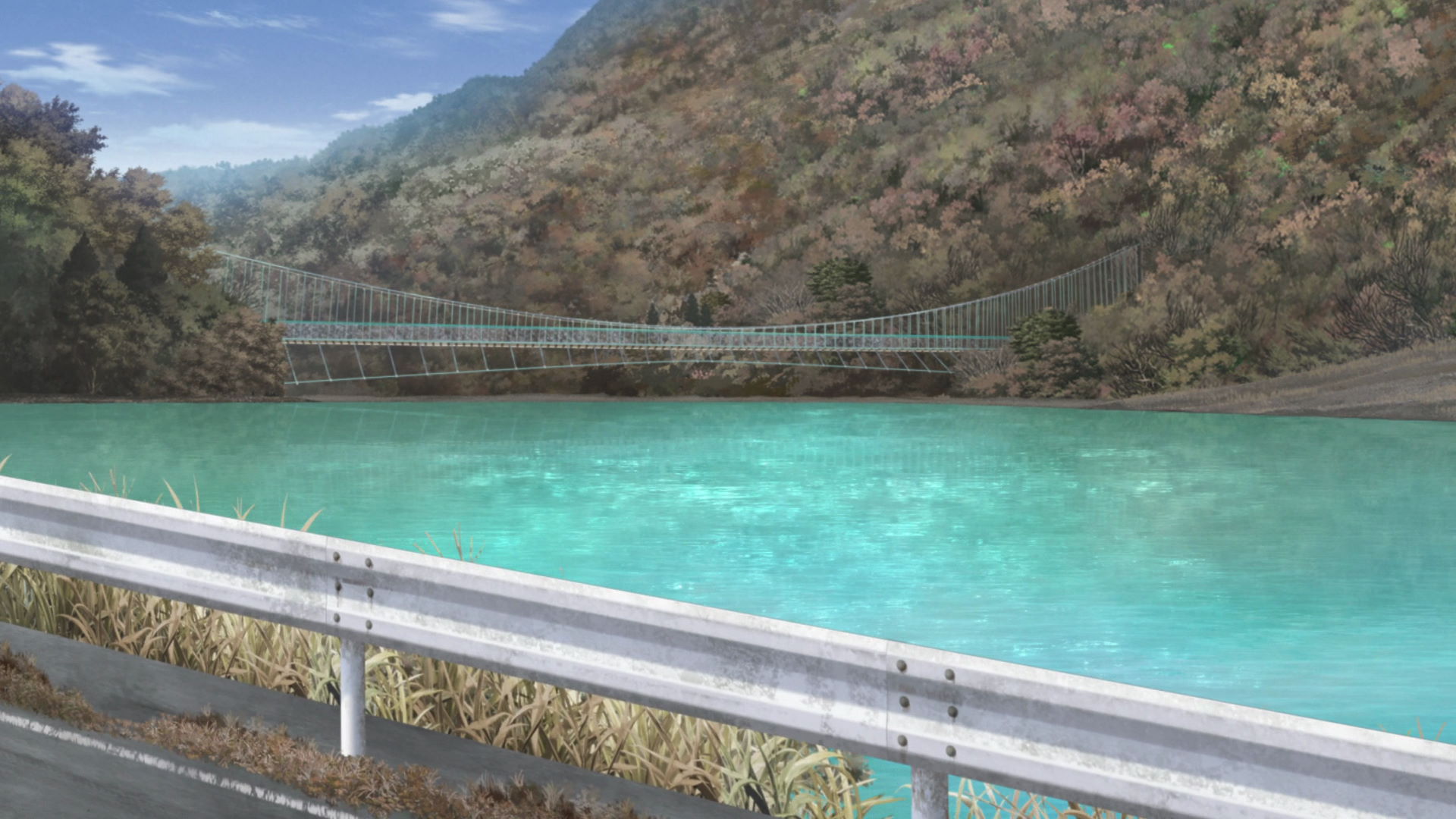
Lake Amehata Suspension Bridge Capture Point
Face the suspension bridge from this point to get an image similar to the anime.
View in OpenStreetMap View in Google Maps
Lake Amehata Suspension Bridge
This is the suspension bridge that Rin tries to cross thinking that the bridge doesn't move much. Howver, the middle parts rocks too much for her taste and decides to head back and and go to the onsen in Villa Amehata.
View in OpenStreetMap View in Google Maps
Yamato
This is where Sakura trues to buy game food (bear, wild boar, etc.) Sakura first considered a bear paw but after realizing the complexity of the dish, she opted for deer meat instead.
Official Site (JP) View in OpenStreetMap View in Google Maps
Villa Amehata
This is where Rin relaxes after she tried to cross the Lake Amehata Suspension Bridge.
Official Site (JP) View in OpenStreetMap View in Google MapsWinter's End and the Day of Departure
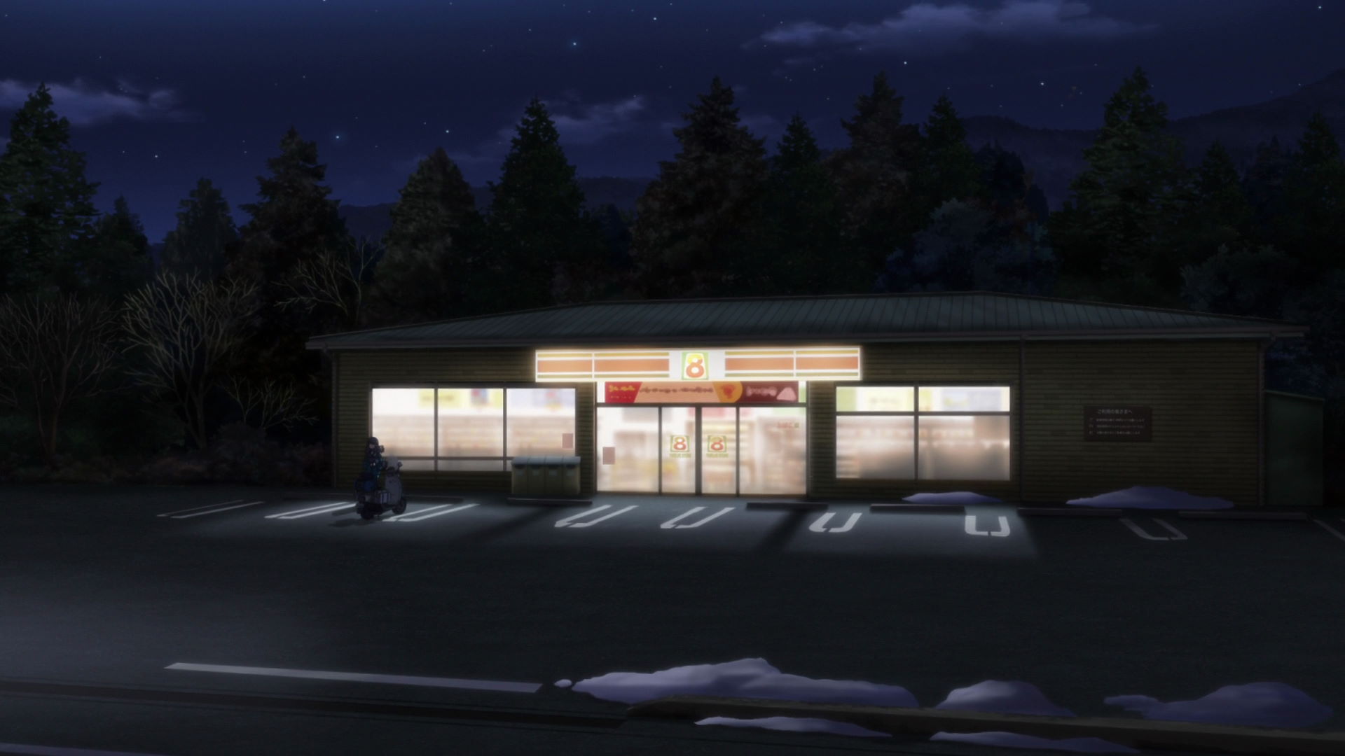
7-Eleven Inokashira
This is where Rin and her grandfather stopped by and to grab a drink before going on their separate ways.
Official Site (JP) View in OpenStreetMap View in Google MapsThe Izu Camp Trip Begins!
Mt. Fuji View Spot Nishiura Eri
Look at the direction of Mt. Fuji and Cape Ose and take a picturesque photo here!
Official Site (JP) View in OpenStreetMap View in Google Maps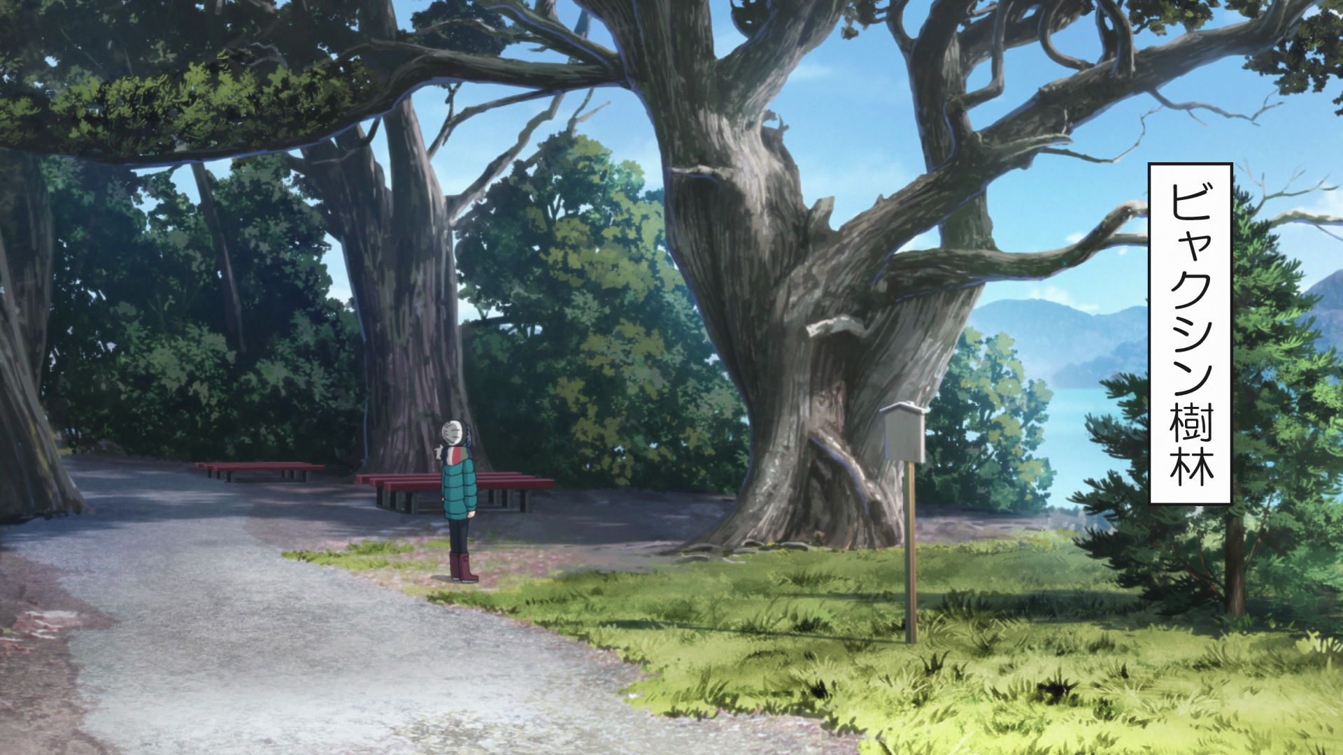
Floresta Yakushin
This forest has old trees that are thought to be older than 1000 years old. Due to it's rarity, it was designated as a National Natural Monument in 1952. and later on selected as one of the 100 Best Treasures of Numazu.
Rin took a photo of the trees before moving on.
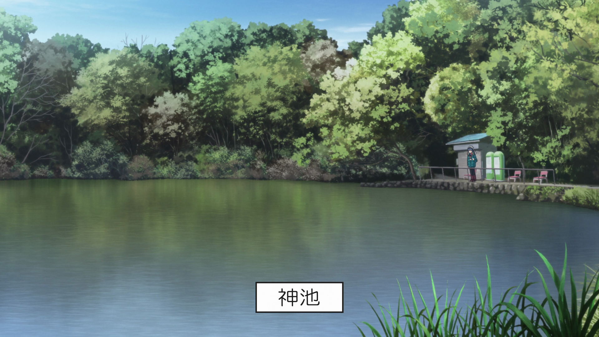
Bench Near Cape Ose Kamike Pond
This is where Rin was feeding the fishes. Be careful not to drop anything in the lake.
View in OpenStreetMap View in Google Maps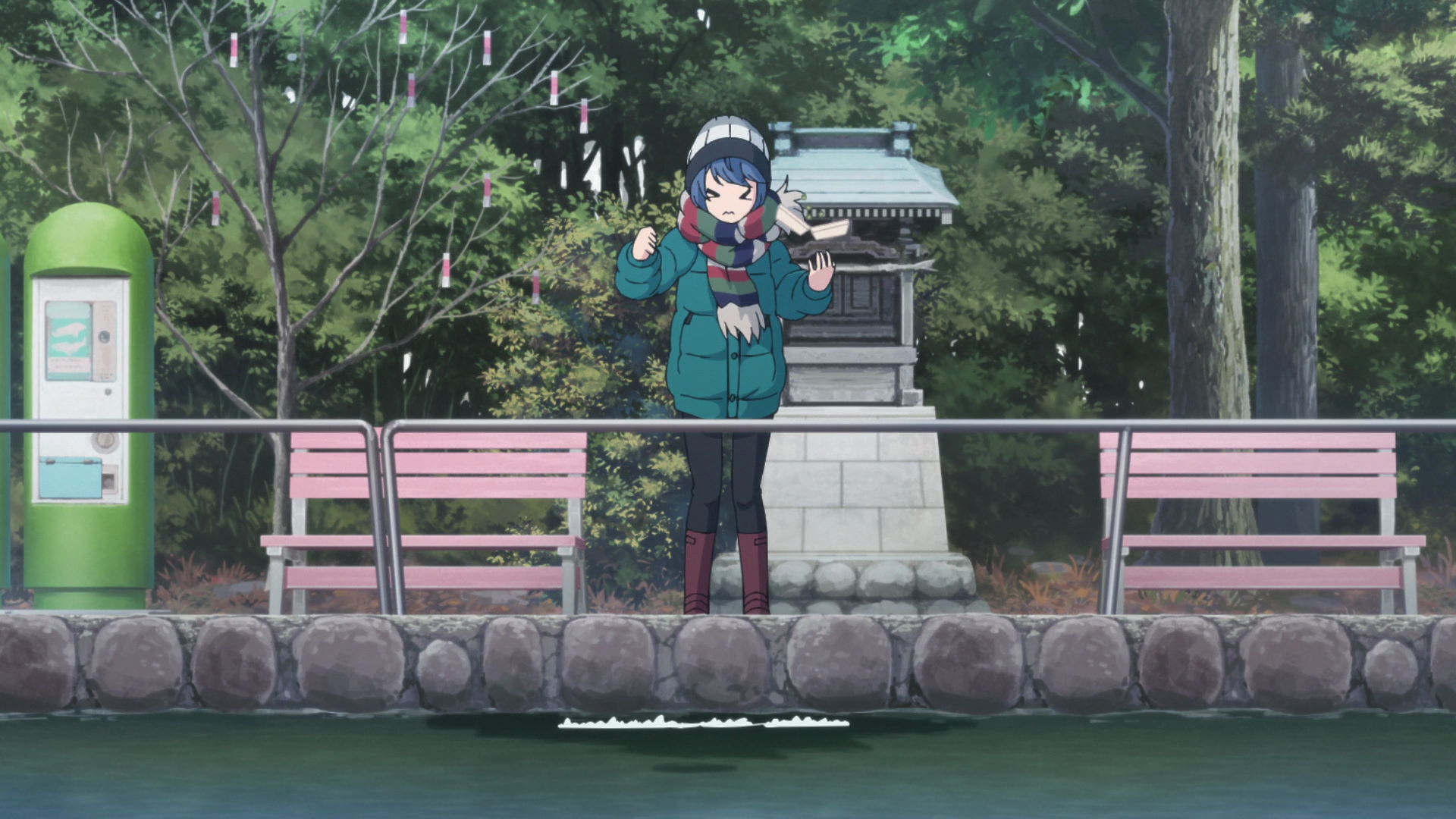
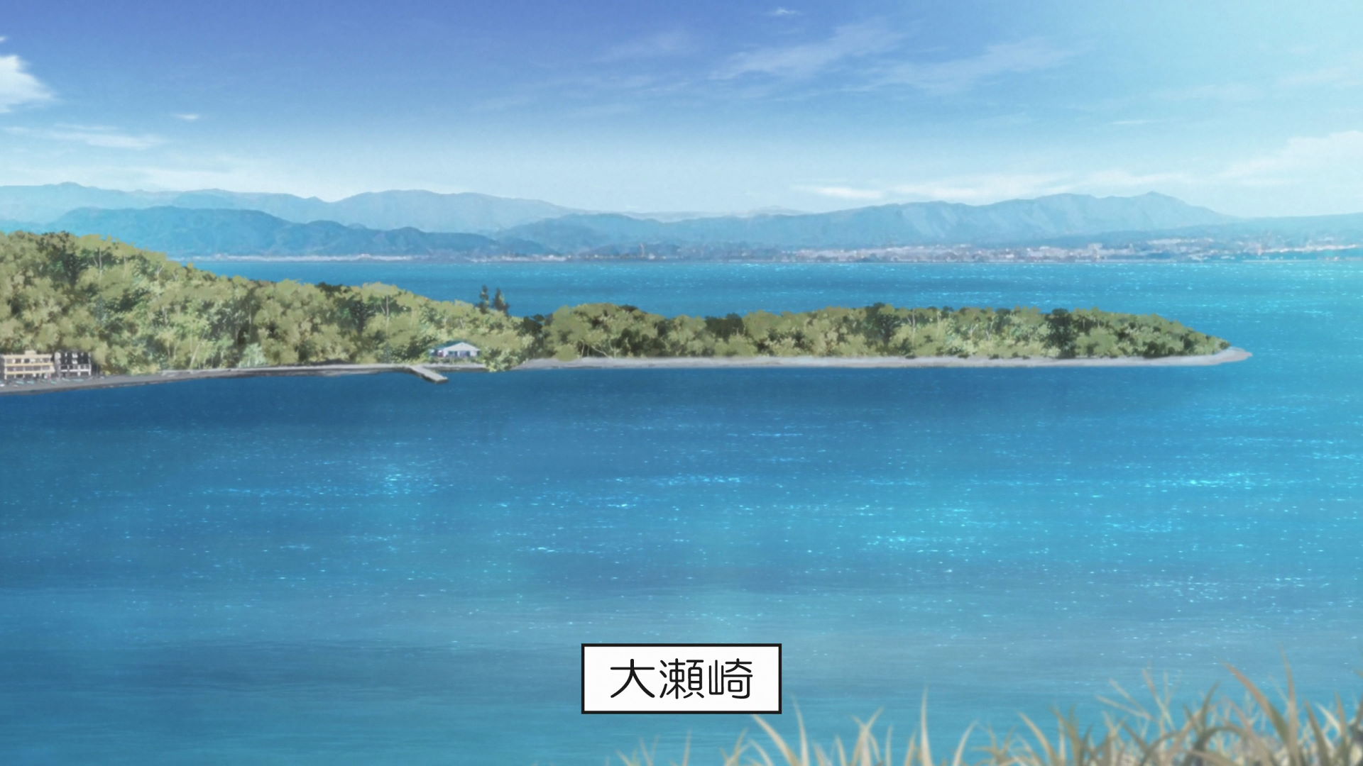
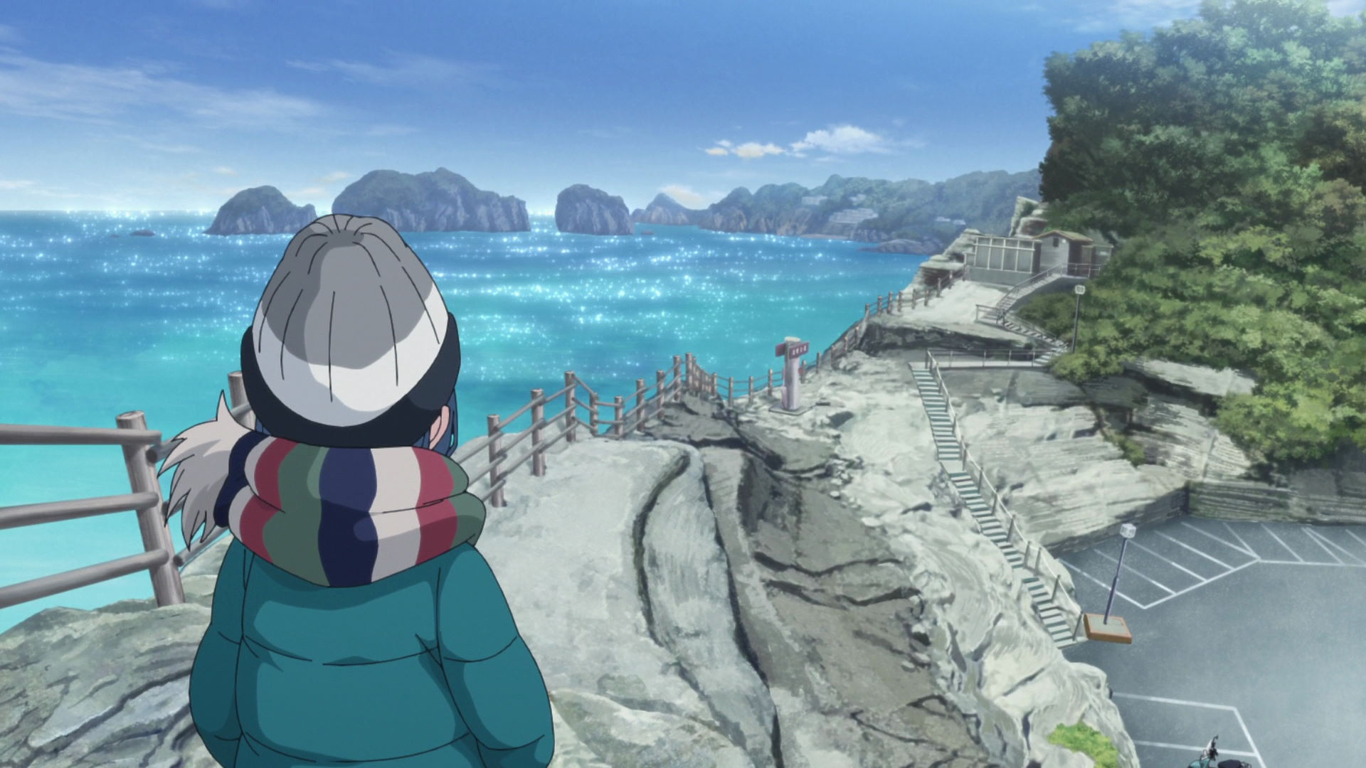
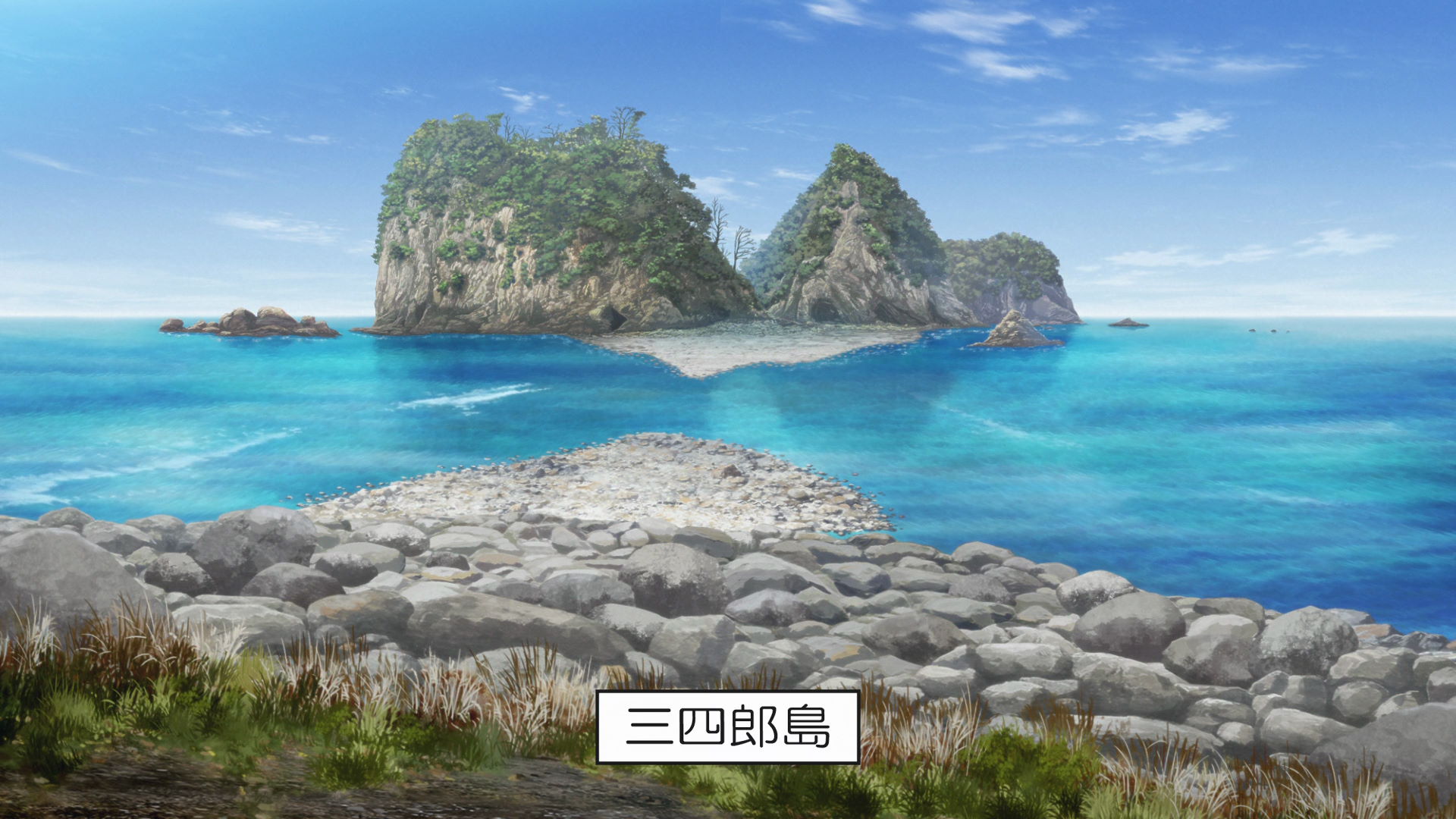
Osezaki Kamike Pond
Kamike Pond, located at the tip of Cape Ose, is a freshwater pond despite being close to the sea, and is one of the Seven Mysteries of Izu.
The origin of the freshwater on the lake is unknown. Many carps are swarming in the pond.
This is the first geospot featured in the season and Rin's first geospot.
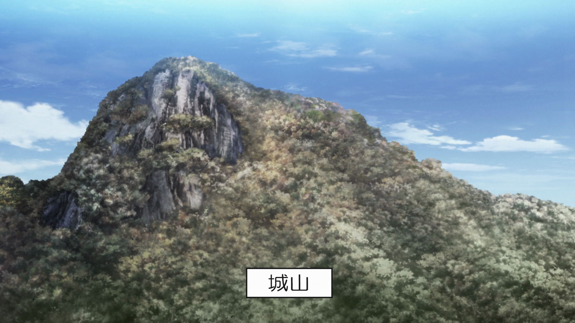
Jouyama
This is one of the famous mountains of Izu and it is formed by upthrusts of magma from tectonic activity.
This is the second geospot featured in the season and the first geospot of Toba-sensei's group.
Roadside Station Amagigoe
Aoi, Akari, Ena, and Chiaki bought some wasabi ice cream while Nadeshiko was asleep in the car.
View in OpenStreetMap View in Google Maps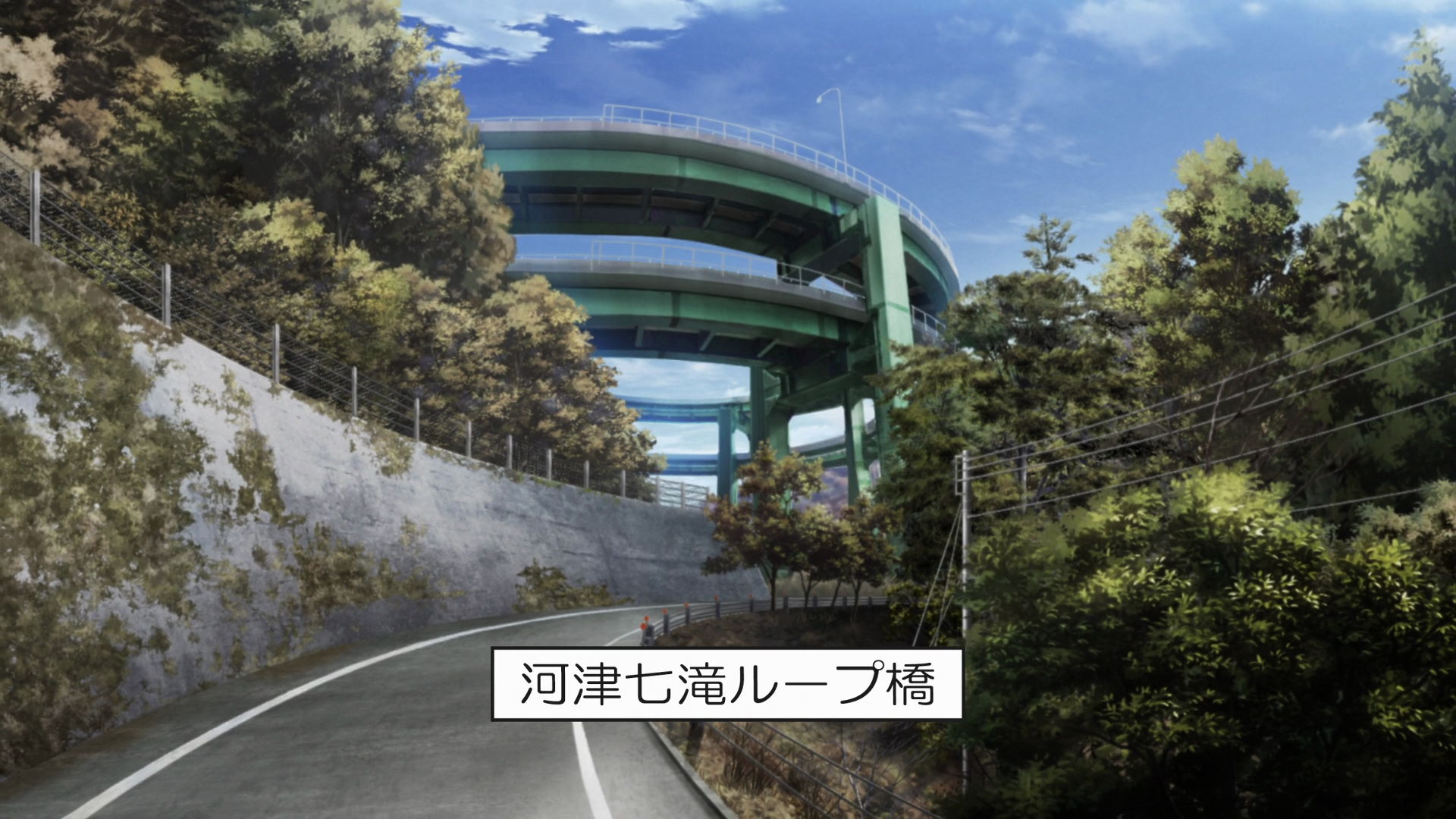
Kawazu Nanadaru Loop Bridge
This very unique bridge loops traffic around twice in order to connect to the road below as the sides of the mountains are so steep that building a road at the same height on both sides is impossible.
View in OpenStreetMap View in Google Maps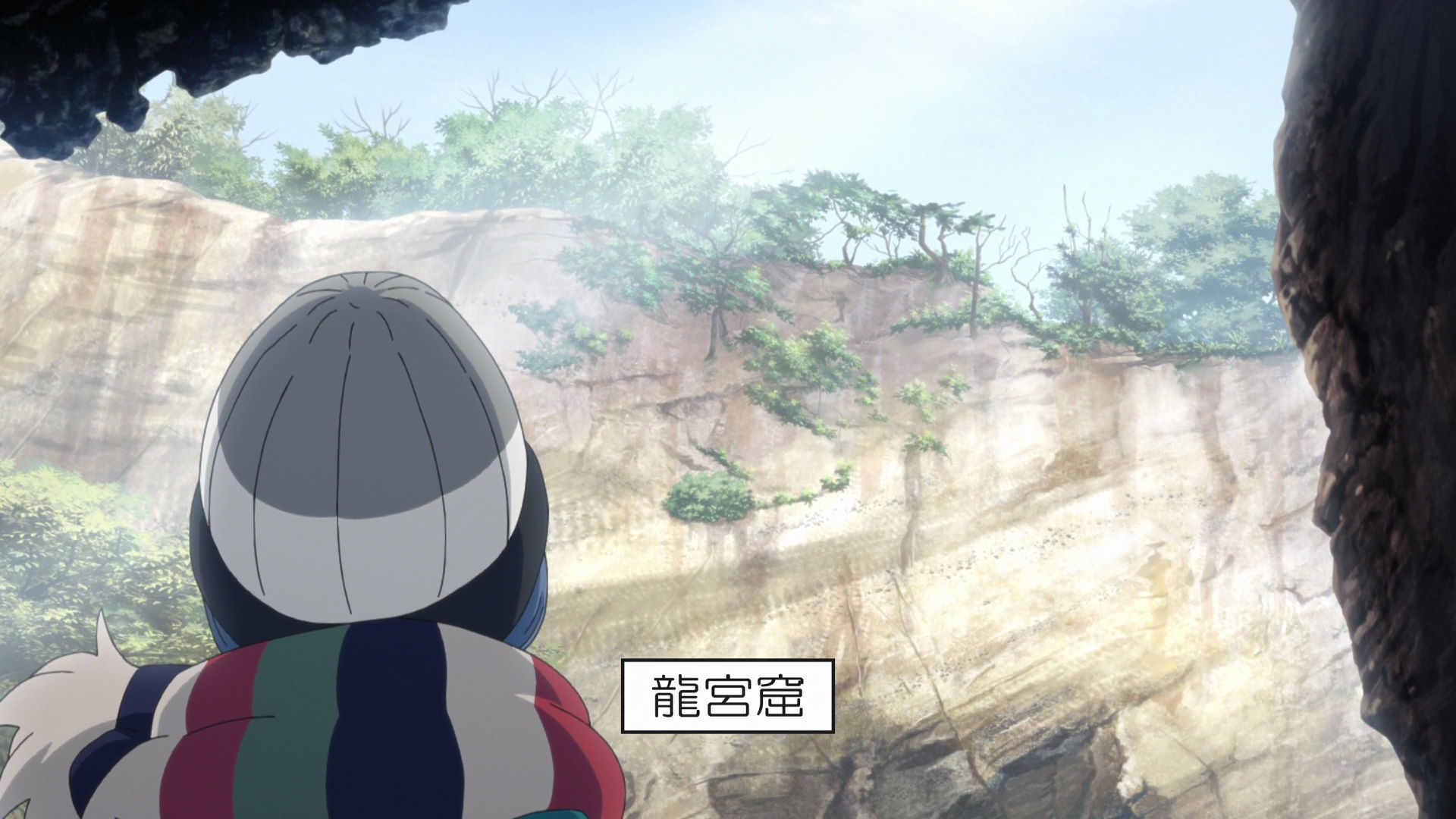
Ryugu Sea Cave
Rin walked down the staircase and views the Ryugu Sea Cave from inside.
There is a promenade that overlooks the Ryugu Sea Cave, allowing visitors to observe this mysterious sea cave from various locations. The view of the Izu Islands in the distance through the trees is also beautiful.
This is the third geospot featured in the season and Rin's second geospot.
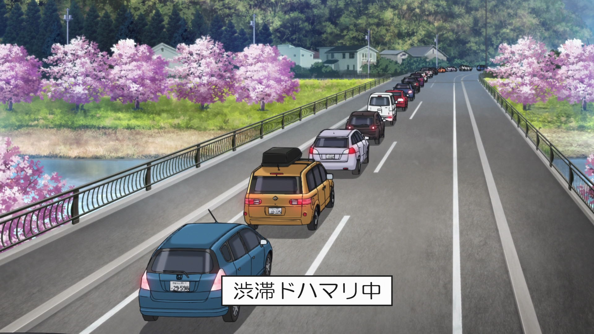
Kawazuideyu Bridge
This is where Toba-sensei's group got stuck in traffic due to the Kawazu City Cherry Blossom Festival, where some of the
Akari managed to buy some cherry blossom steamed buns due to the traffic buildup on the road.
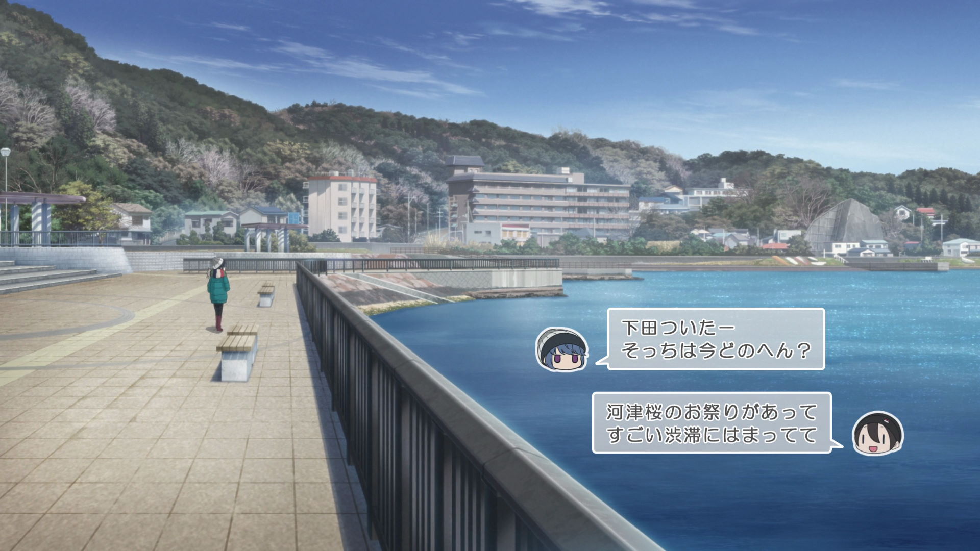
Madogahama Umiyu Park
This is where Rin enjoys a foot bath while waiting for Toba-sensei's group who got stuck in traffic because of the Kawazu Cherry Blossom Festival. This is also where they meet up some time later.
Official Site (JP) View in OpenStreetMap View in Google Maps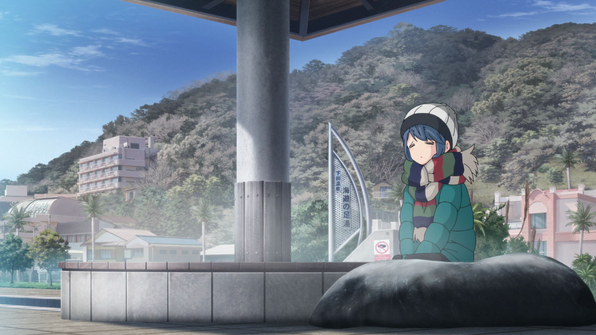
Madogahama Umiyu Park Foot Bath
This is where Rin sat down and got a foot bath while looking at the scenery surrounding the area.
View in OpenStreetMap View in Google Maps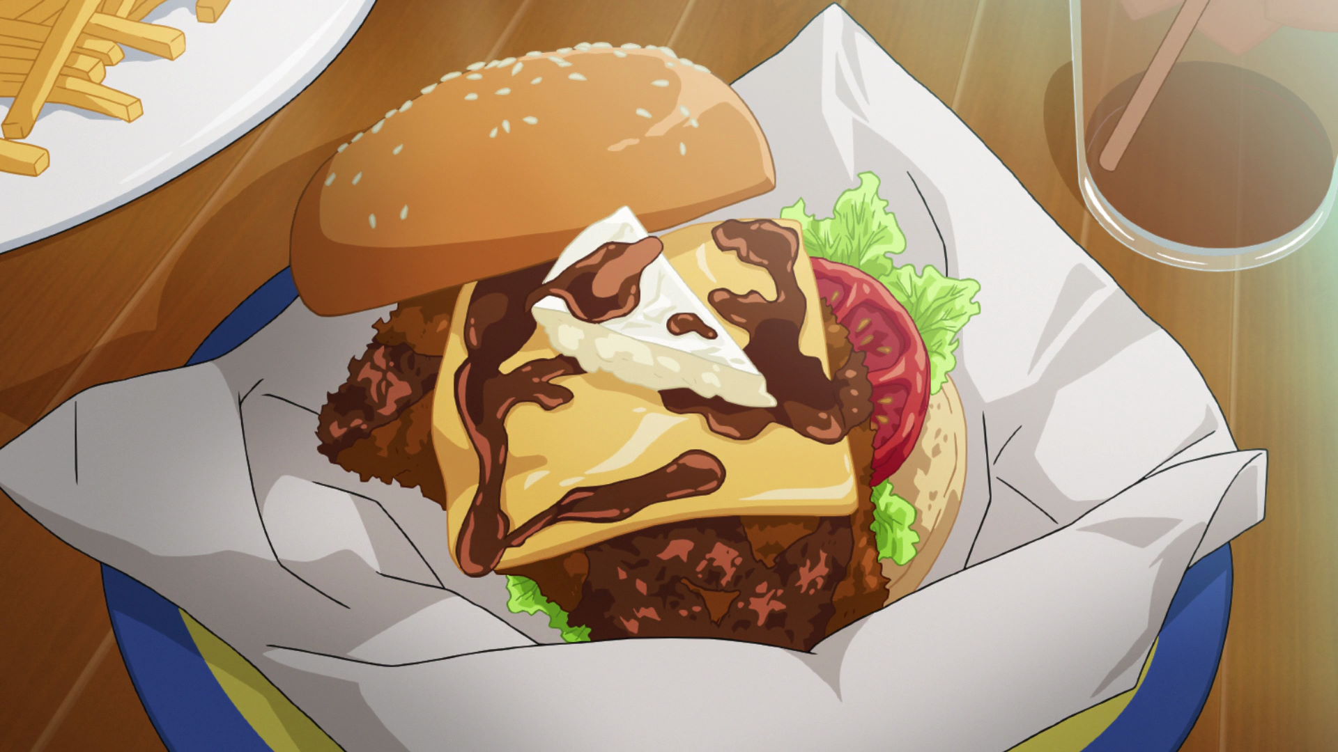
Ra-maru
This is where the group bought a burger with sweet-and-spicy sauce, camembert cheese, and fried kinmedai (al
Yuru Camp△ promotion available here!
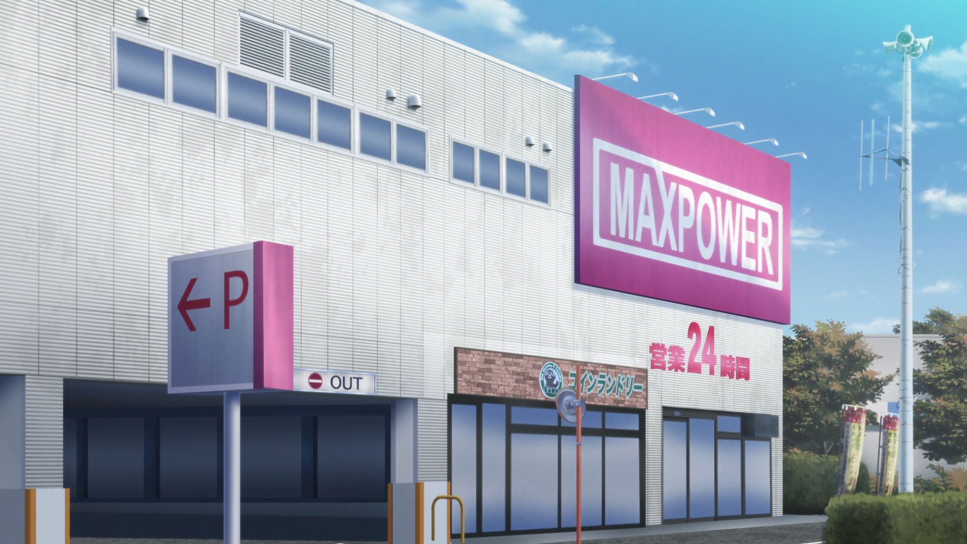
Maxvalu Izushimoda Shop
Known in the anime as the Maxpower Shop, this is where the group bought their ingredients for their camp dinner later in the night.
Official Site (JP) View in OpenStreetMap View in Google Maps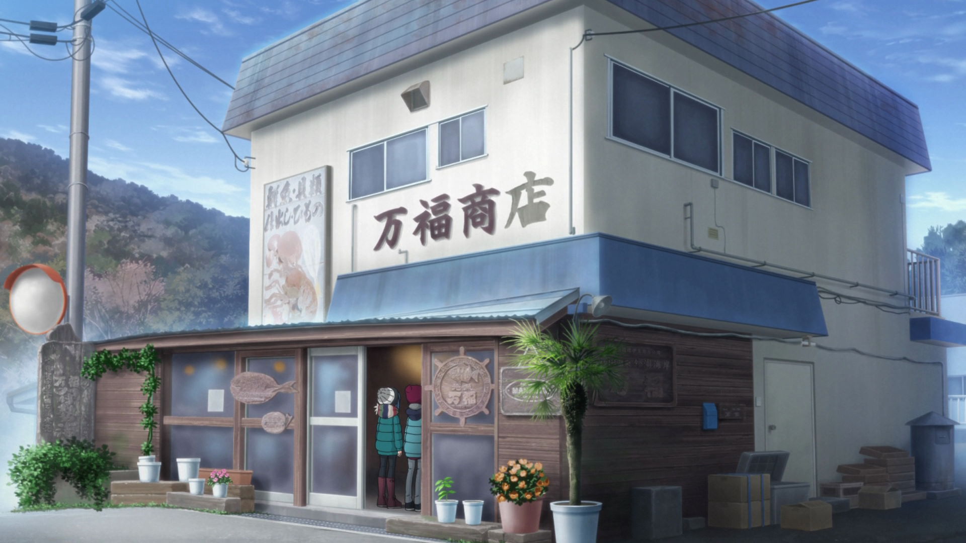
Manpo Store
This is where Nadeshiko bought Premium Shimoda Dried Alfonsino and Toba-sensei bought spiny lobster for Operation Shrimp as planned by Chiaki.
Yuru Camp△ promotion available here!
Cape Tsumeki Shimoda Ward Information Shed
This is where Toba-sensei discovers that the land owner has instituted an all-year camping ban in the Cape which ruined the inital plan to camp in the area.
View in OpenStreetMap View in Google Maps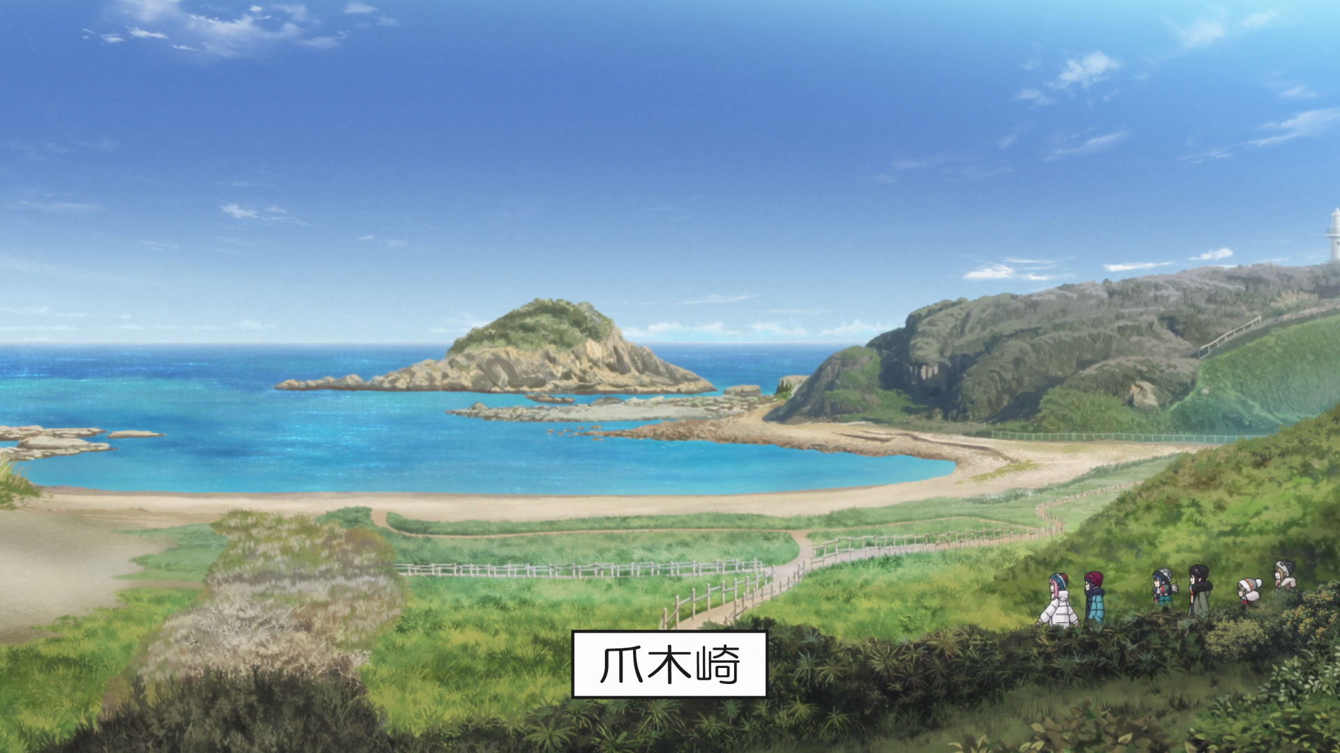
Cape Tsumeki
This location is known for it's daffodil colonies and it's interesting rock formations.
This is the fourth geospot featured in the season and it is Rin's fourth geospot and the second geospot of Toba-sensei's group.
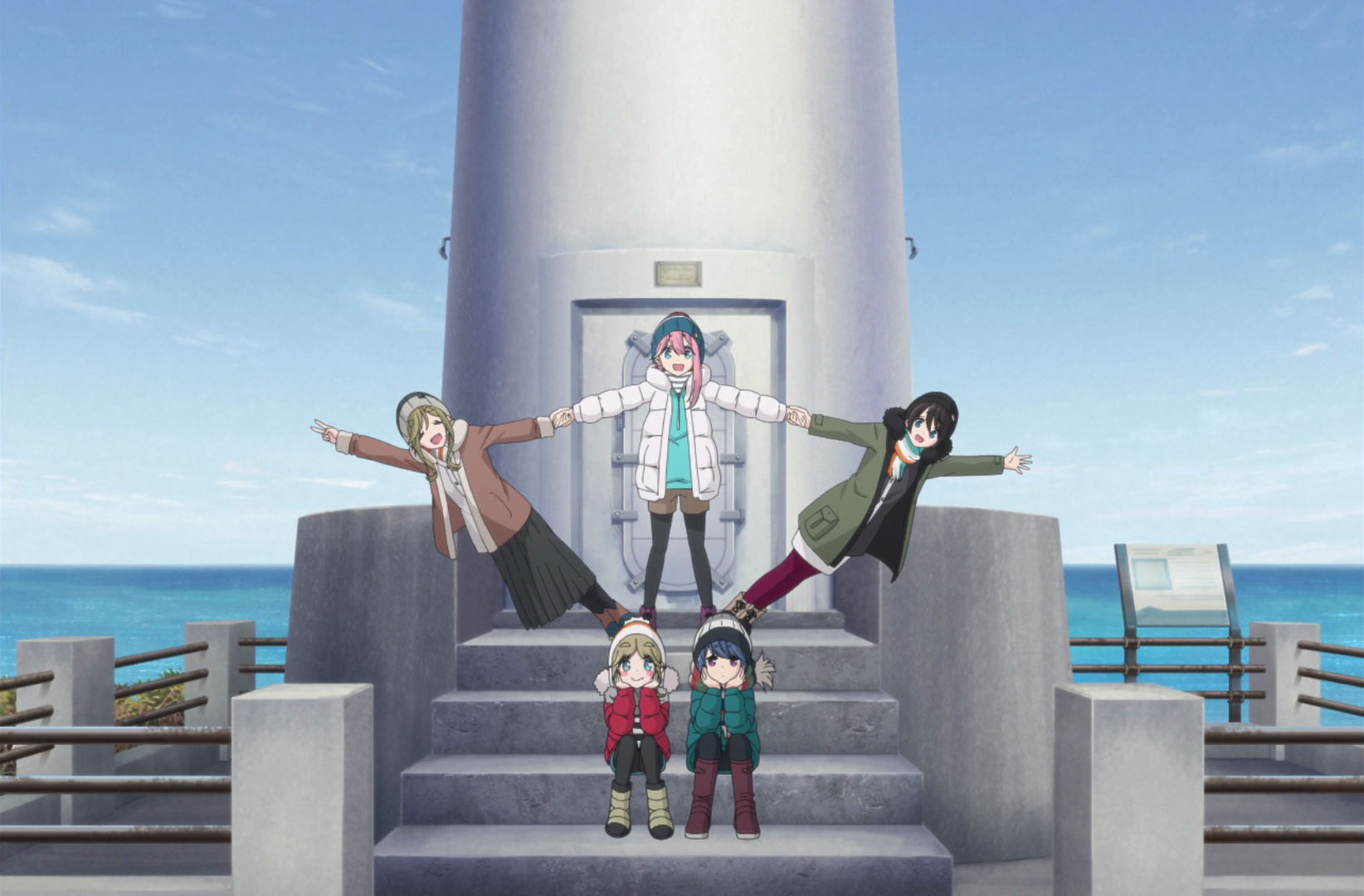
Cape Tsumeki Lighthouse
Chiaki took a photo of the rest of the group (excluding Toba-sensei) at the staircase of the lighthouse. There are also strong gusts of wind here.
Official Site (JP) View in OpenStreetMap View in Google Maps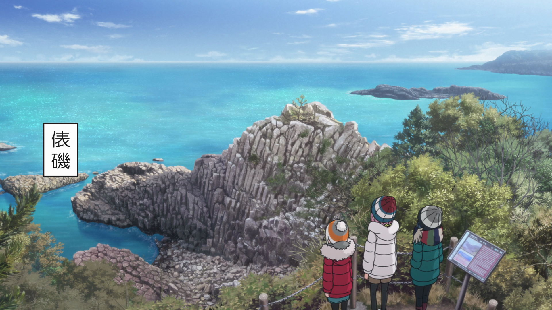
Cape Tsumeki Columnar Joints
This area is called "Tawaraiso Beach" in the episode. The unique rock formation was compared to a bunch of hexagonal pencil heads without erasers.
Official Site (JP) View in OpenStreetMap View in Google Maps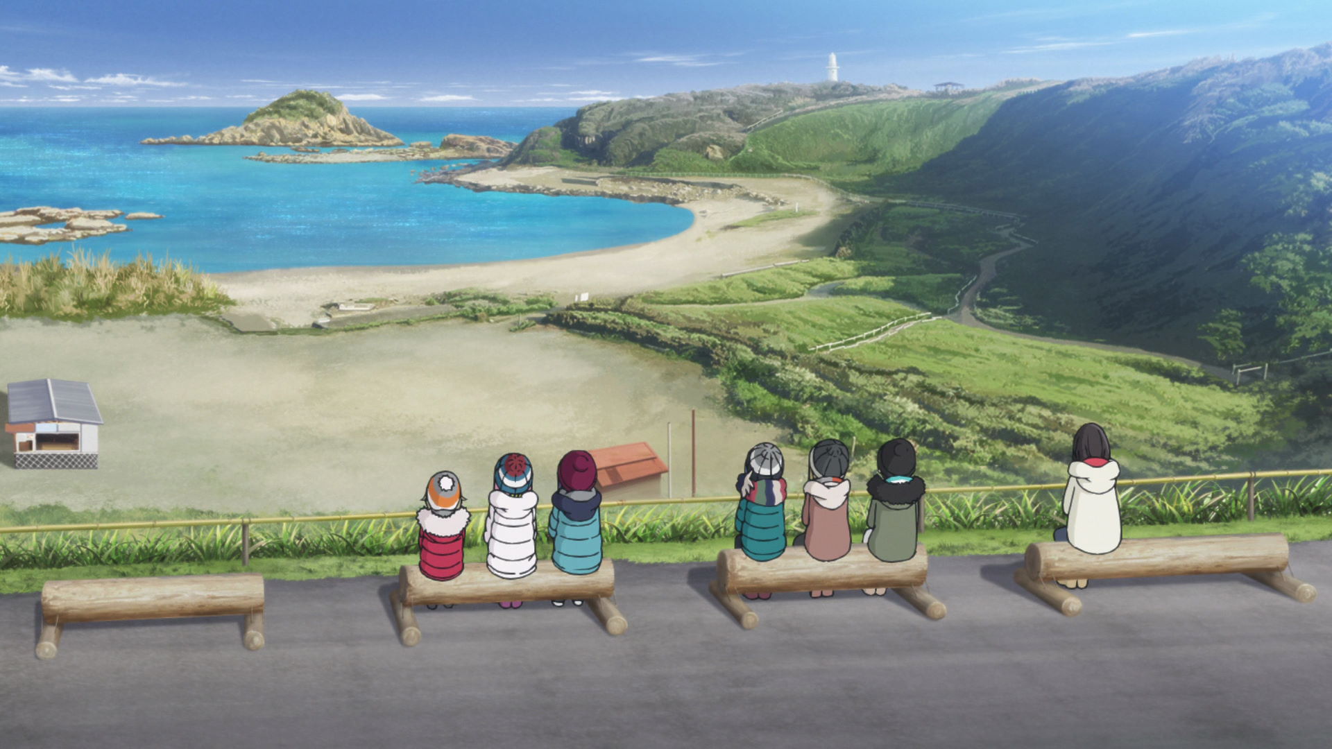
Benches Overlooking Cape Tsumeki
The group sat down and drank some Chunky Red Bean Soup while Toba-sensei is trying to find other suitable locations for camping out.
View in OpenStreetMap View in Google Maps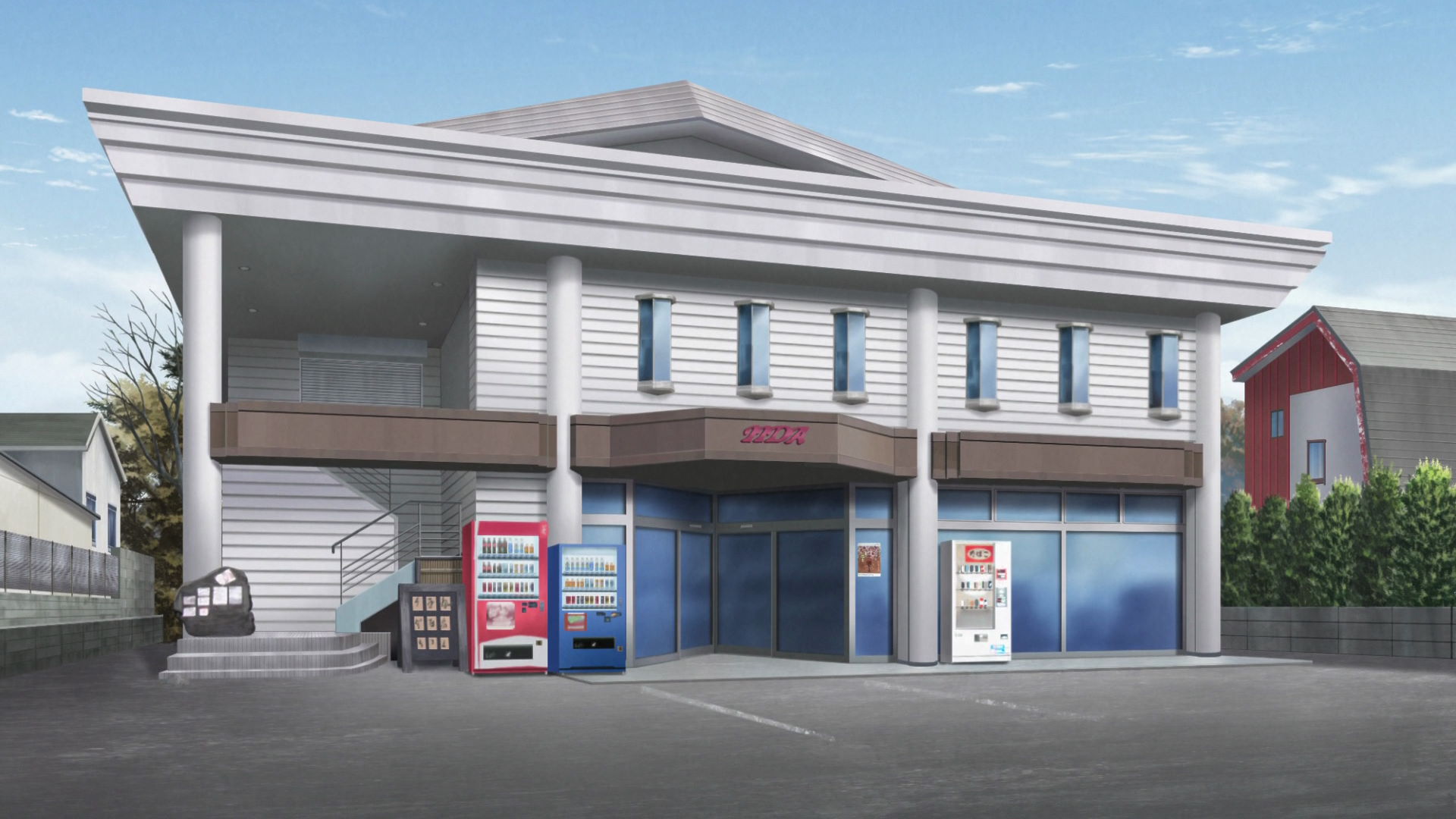
Hiroi Liquor Store
This is the basis of the Iida Liquor Store in the series. Toba-sensei called the owner, Iida-san, to ask help on looking for another campsite as they cannot camp in Cape Tsumeki. In Episode 13, the group visits the place and meets up with them in person and their pet, Choko, where it was discovered that Ena is starting to go through a Chikuwa withdrawal.
Official Site (JP) View in OpenStreetMap View in Google Maps
Kominato Daiichi Tunnel
This is a tunnel with a picturesque view that the group drove through on the way to the Izu Orange Center.
View in OpenStreetMap View in Google Maps
Izu Orange Center
The group got some fresh orange juices meanwhile Toba-sensei got a bottle of Mandarin Wine.
Official Site (JP) View in OpenStreetMap View in Google Maps
Hosono Plateau Tree House Village
The group passes through the place as they head towards the Hosono Plateau Observation Point.
Official Site (JP) View in OpenStreetMap View in Google Maps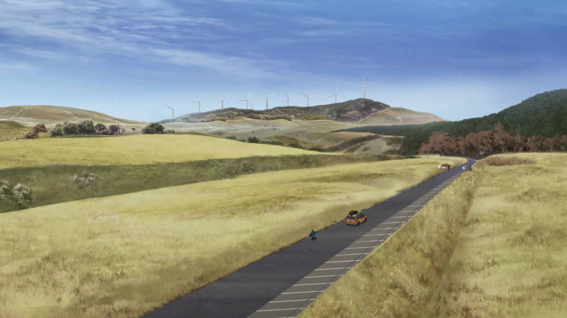
Hosono Plateau
The Hosono Plateau is part of Mount Amagi, which erupted repeatedly between 800,000 and 200,000 years ago.
This is the fifth geospot featured in the season and it is Rin's fifth geospot and the third geospot of Toba-sensei's group.
Sansujiyama Lower Parking Lot
This is where the group parked their vehicles on the Hosono Plateau as they walked up to the Observation Point.
View in OpenStreetMap View in Google Maps
Bench Overlooking Hosono Plateau
This is where Rin, Aoi, and Ena sat down and enjoyed the scenery while Akari, Nadeshiko, and Chiaki race to the Observation Point.
View in OpenStreetMap View in Google MapsIzu Camping!! On the Way
Hosono Plateau Observation Point
This is where the group rests and takes in the view from the Hosono plateau.
View in OpenStreetMap View in Google Maps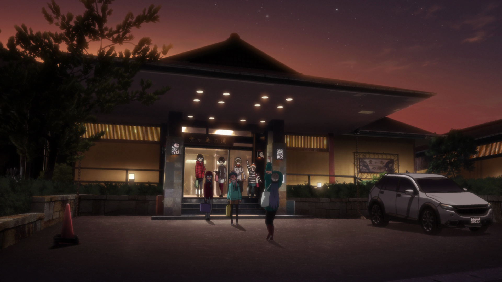
Seaside Hidden Hot Spring Seiryu
This is where the group relaxes with a bath in the onsen with the view of the Sanshiro Island in the sunset.
Official Site (JP) View in OpenStreetMap View in Google Maps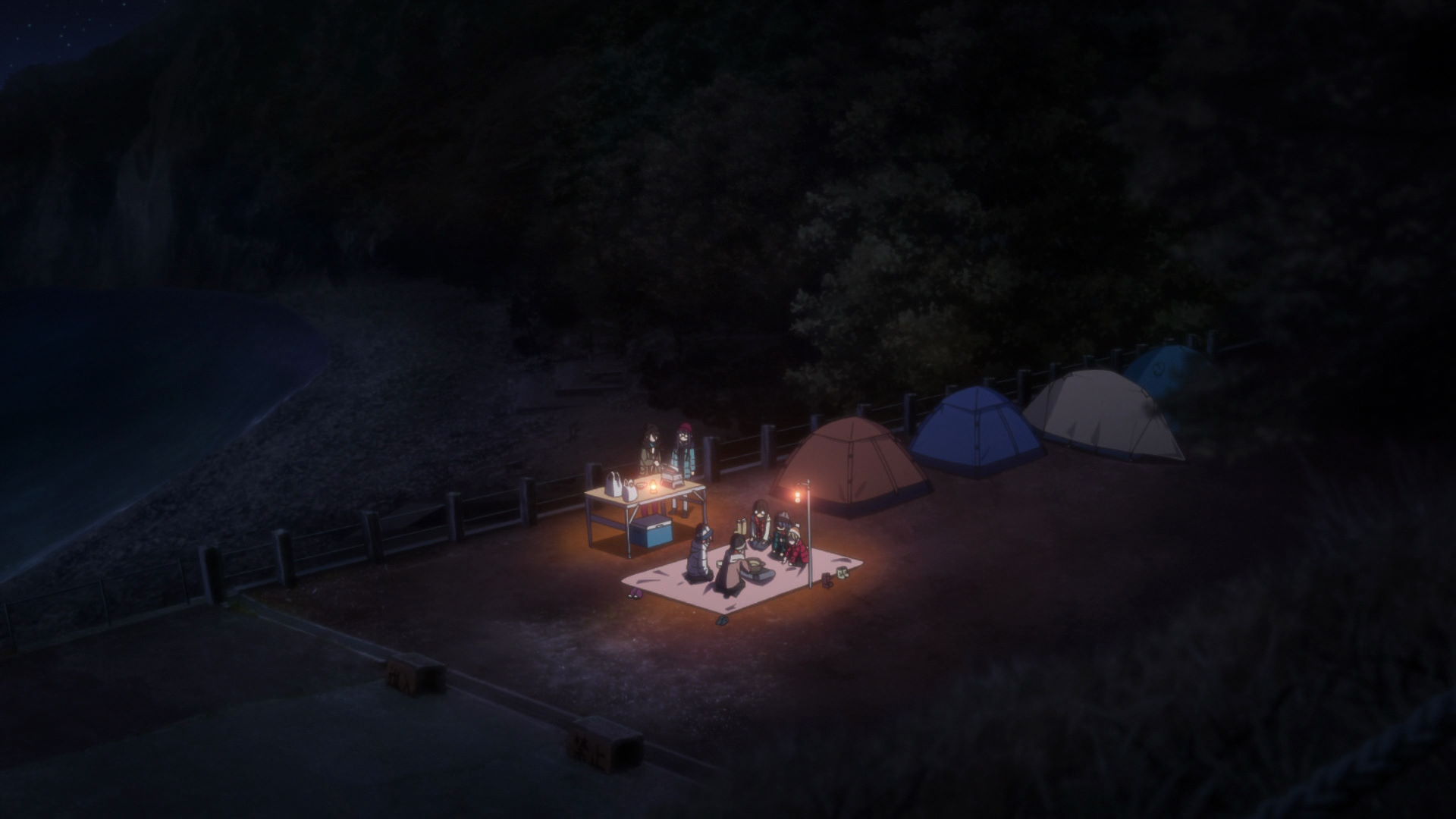
Camp Koganezaki
This is the location that Iida-san recommended to Toba-sensei after discovering that their initial camping ground of choice did not allow camping.
Official Site (JP) View in OpenStreetMap View in Google Maps
Cape Kogane Observation Deck
This is where Rin drove to early in the morning while the rest of the group was still asleep in their tents.
Cape Kogane is said to have one of the best sunsets in Japan.
This is the sixth geospot featured in the season and it is Rin's sixth geospot.
Sawada Park Open-Air Bath
This is where Rin drove to early in the morning while the rest of the group was still asleep in their tents.
There is an open air bath here that over looks the scenery around the coast.
This is the seventh geospot featured in the season and it is Rin's seventh geospot.
Izu Camping!!! Birthdays!
Dogashima Shokudo
This is where the group ate breakfast. They bought a Seafood Bowl with Sashimi and more.
Akari can eat a lot and she found the Tokoroten delicious
Dogashima Observatory
This is where the group viewed the string of islands and the coastline. The view from this observatory is amazing and it's worth taking images of.
View in OpenStreetMap View in Google Maps
Dougashima Sea Cave Skylight
Known as「Tensoudou」, it is a designated National Natural Monument and it can be viewed from the promenade or from a sightseeing boat.
This is the eighth geospot featured in the season and it is Rin's eighth geospot and the fourth geospot of Toba-sensei's group.
Tombolo Land Bridge
This land bridge is crossable during low tide which makes the Sanshirou Islands accessible by foot.
Akari was misled by Aoi thinking that Tombolo is some sort of food. Aoi had to buy Akari some food later on for misleading her.
Sanshirou Island
The island is called Sanshirou because depending on the direction and time you at the islands, you can see three islands, more or less.
This is the ninth geospot featured in the season and it is Rin's ninth geospot and the fifth geospot of Toba-sensei's group.
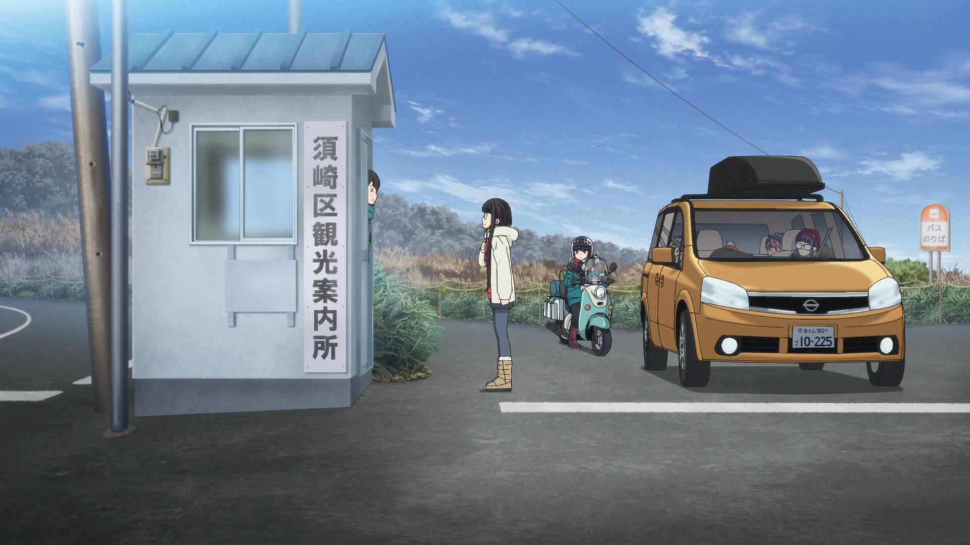
Food Store Aoki, Nishiizu
This is where the group bought supplies for their campsite dinner later in the day. Rin drove in front of Toba-sensi's car to enjoy the feeling of driving on the West Izu Skyline.
Official Site (JP) View in OpenStreetMap View in Google Maps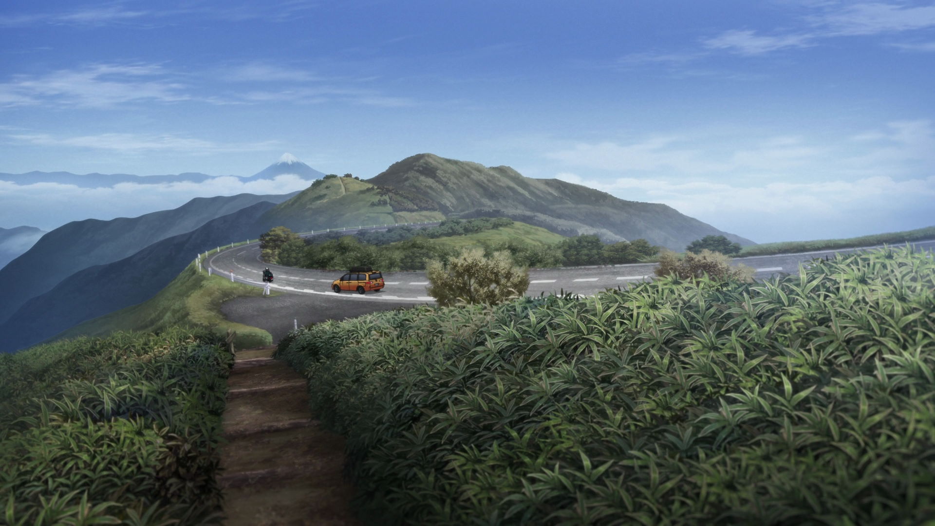
West Izu Skyline
Rin drove through the road with an impressive view of the sky and the the area below. It is a well-known tourist destination.
View in OpenStreetMap View in Google Maps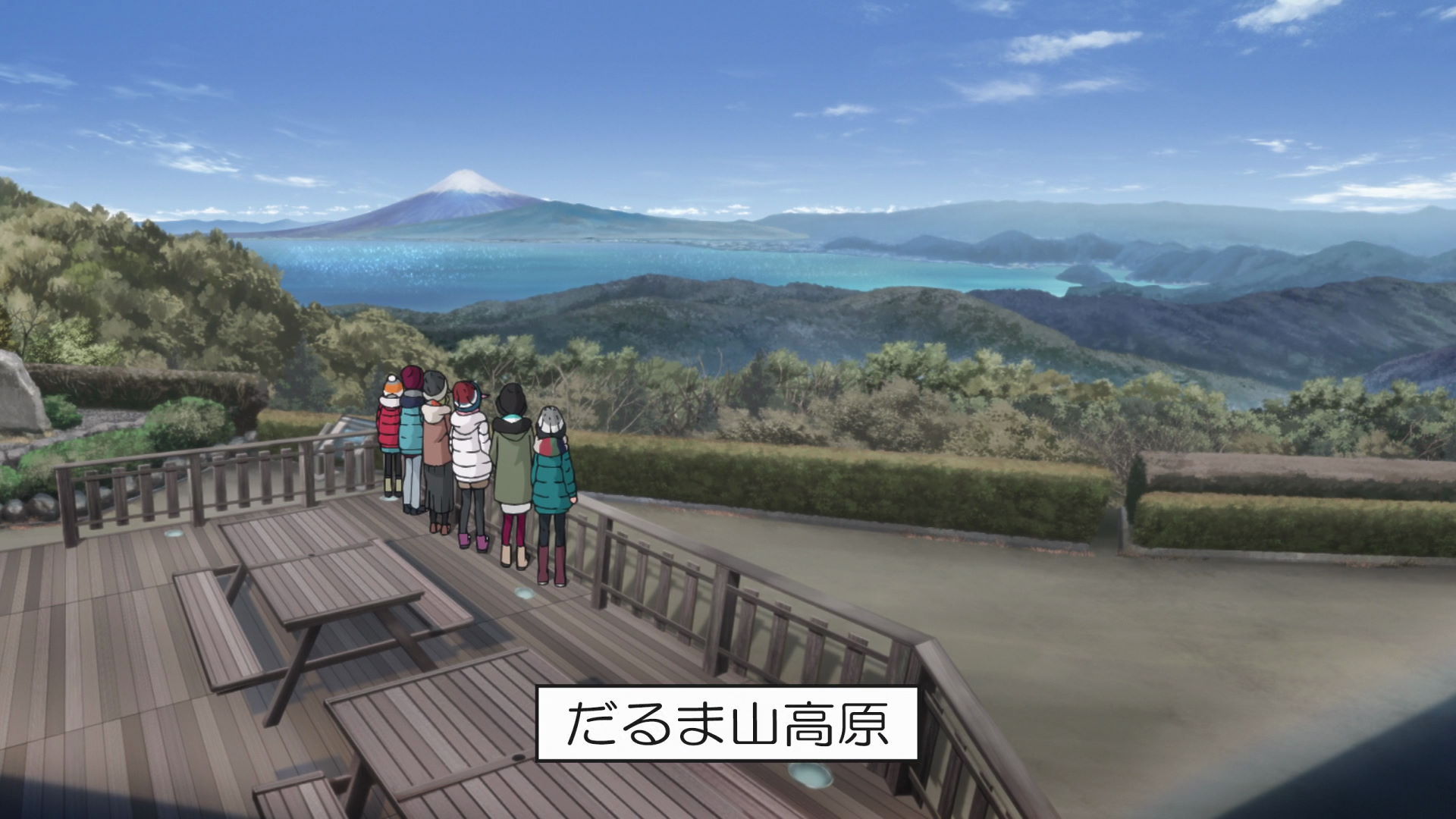
Mt. Daruma Observatory
It is a highland formed by the eruption of Mt. Daruma. You can see Mt. Fuji with an amazing foreground of the terrain from this observatory.
This is the tenth geospot featured in the season and it is Rin's tenth geospot and the sixth geospot of Toba-sensei's group.
Darumayamakogen Camping Ground
This is where the group spent the night and it is also where Operation Shrimp for Nadeshiko and Aoi's birthday went into action.
View in OpenStreetMap View in Google Maps
Cape Mihama
The cape is a sand pit formed by coastal currents and it also serves as a natural defense against strong weather.
This is the eleventh geospot featured in the season and it is the seventh geospot for Nadeshiko, Aoi, Akari, and Toba-sensei who drove here while Operation Shrimp was in progress.
Cape Deai Observation Deck
This observation deck is where Nadeshiko, Aoi, Akari, and Toba-sensei viewed the entirety of Cape Mihama.
View in OpenStreetMap View in Google Maps
Daruma Mountain Plateau
This is where the group waited for the sunrise with the exception of Akari who was asleep in the car and Toba-sensei who was with Akari inside the car.
Official Site (JP) View in OpenStreetMap View in Google MapsI'm Home
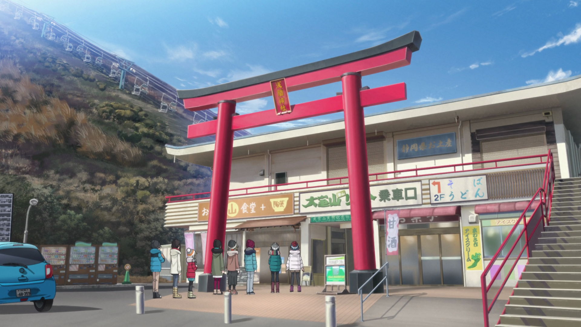
Mount Omuro Climbing Chairlifts
Rin and Nadeshiko bought some ice cream here before they got on the lift to the top of Mt. Omuro.
There is a camera that takes souvenir photos of people riding the lift. Make sure to smile when you see it!

Mount Omuro
It is the largest scoria cone in the eastern Izu volcano group and a designated as a National Natural Monument. A controlled burn happens here every second Sunday of February each year.
This is the twelfth geospot featured in the season and it is Rin's eleventh geospot, Nadeshiko, Aoi, Akari, and Toba-sensei's eighth geospot, and the seventh geospot for everyone else.
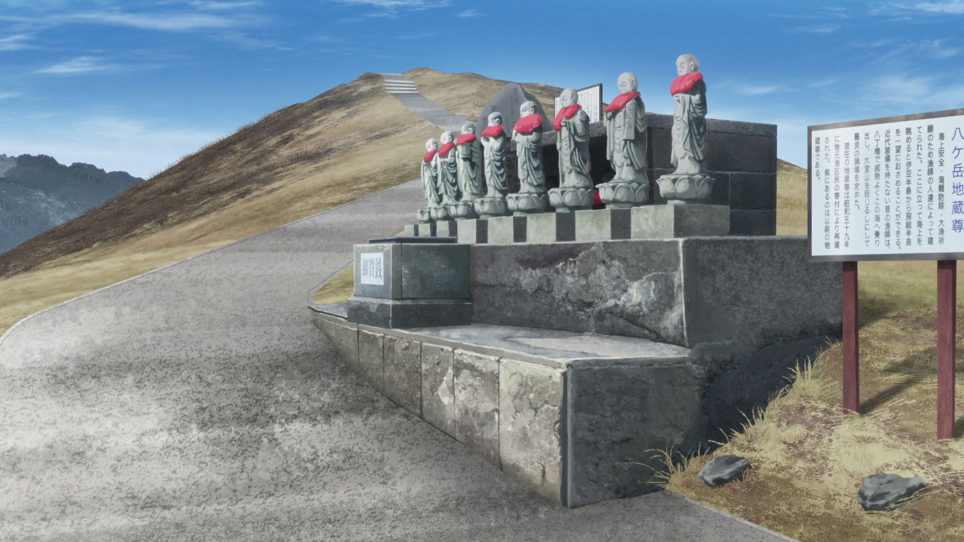
Yatsugatake Jizoson
It was built in 1984 from the donations of locals for the safety of the fishing industry and good catches.
View in OpenStreetMap View in Google Maps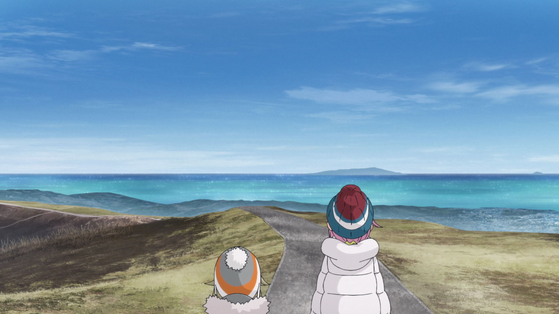
Mount Omuro Running Challenge Goal
This is the goal of Nadeshiko and Akari's running competition. This a great observation point that overlooks the surroundings.
View in OpenStreetMap View in Google Maps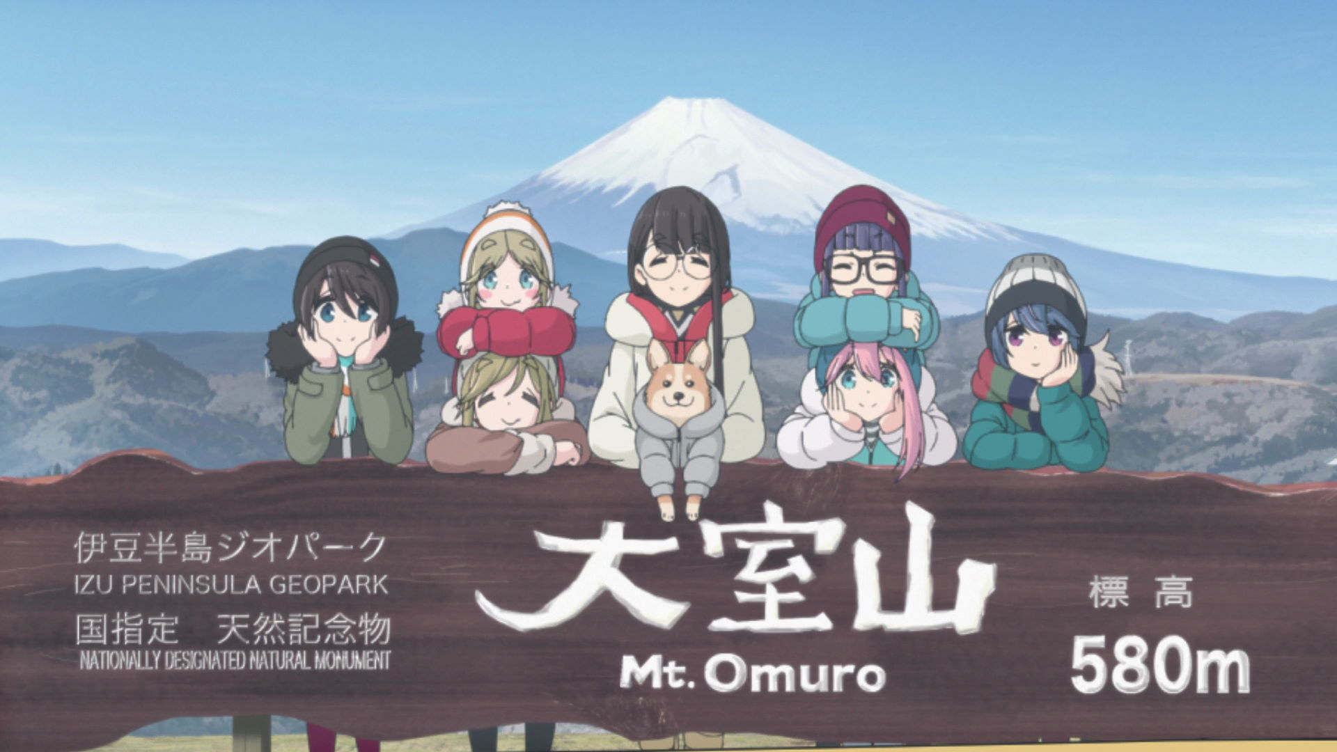
Mt. Omuro - Mt. Fuji Observatory
This location is where the group took a photo with the Mt. Omuro sign with Mt. Fuji in the background.
View in OpenStreetMap View in Google Maps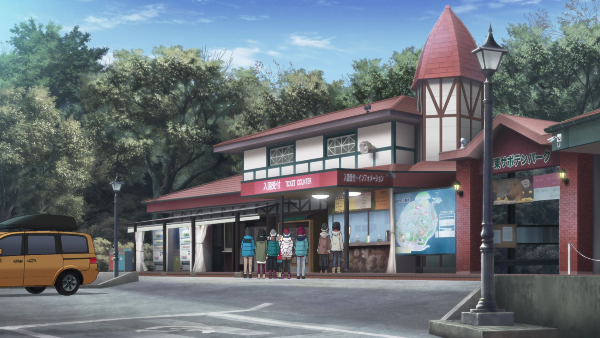
Izu Cactus Park Rhesus Macaque No.1 Parking Lot
This is the parking lot for the Izu Shaboten Zoo. The entrance to the Izu Shaboten Zoo can be found here.
View in OpenStreetMap View in Google Maps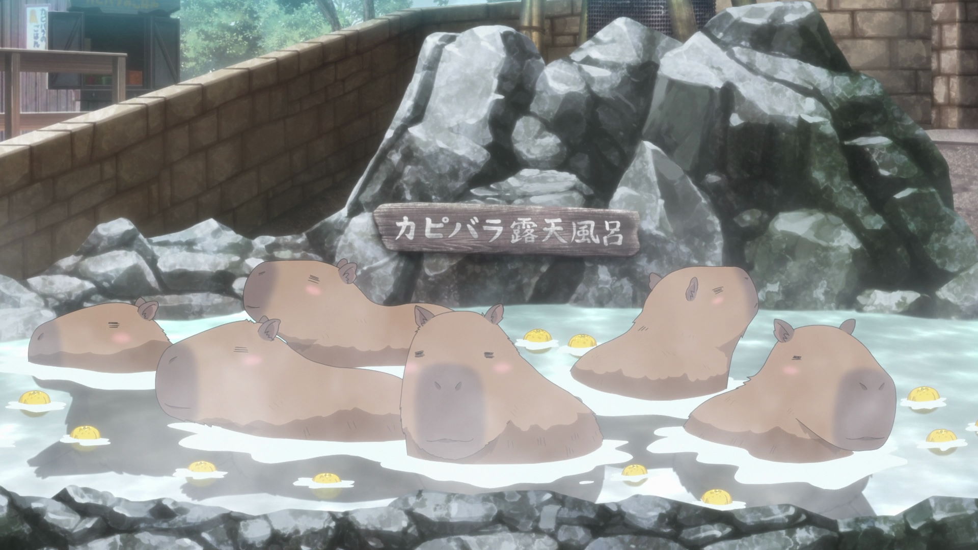
Izu Shaboten Zoo
This zoo features a capybara onsen which is the reason why Akari joined the Izu camping trip. There are also many other animals featured in the anime.
Official Site View in OpenStreetMap View in Google Maps